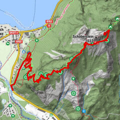


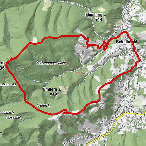
Tour data
14.82km
516
- 1,033m
688hm
691hm
03:31h
- Brief description
-
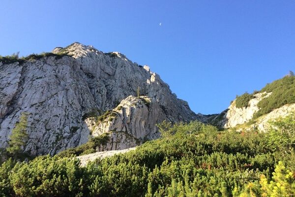
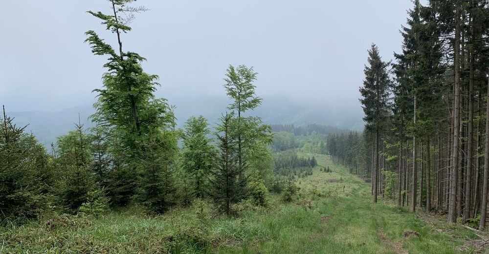
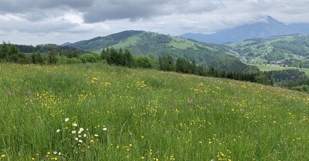
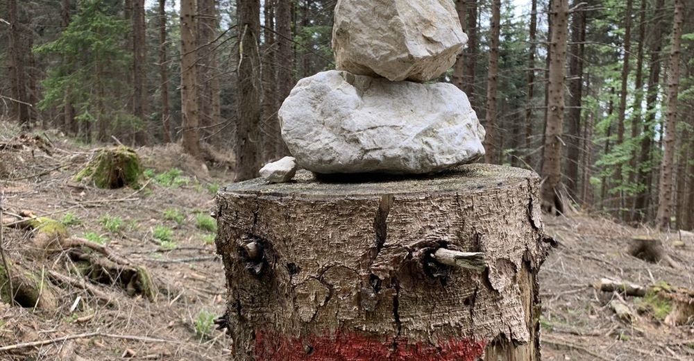
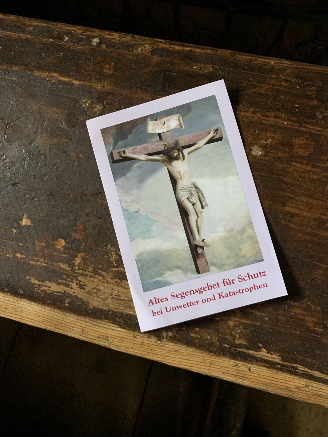
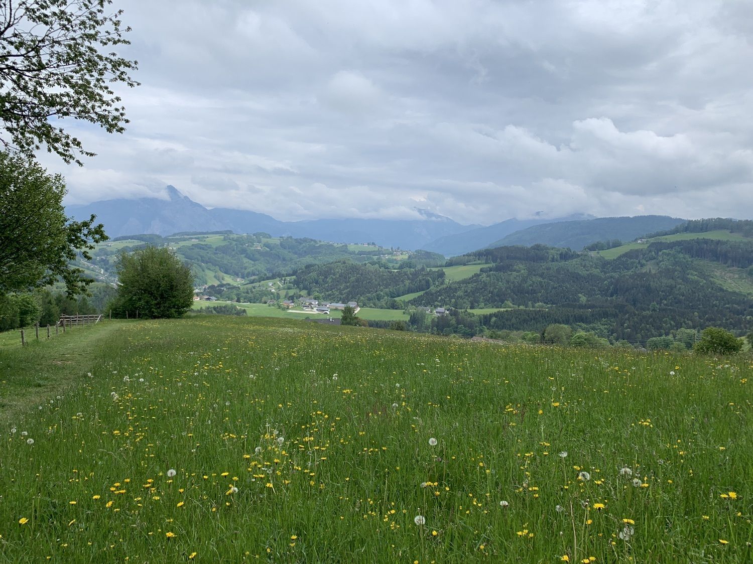
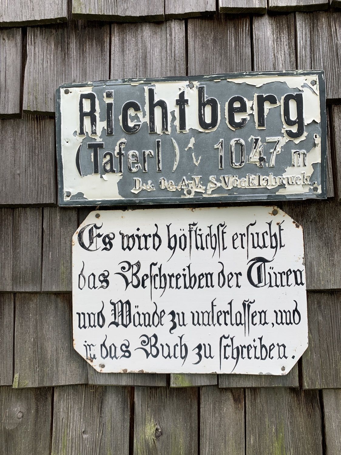
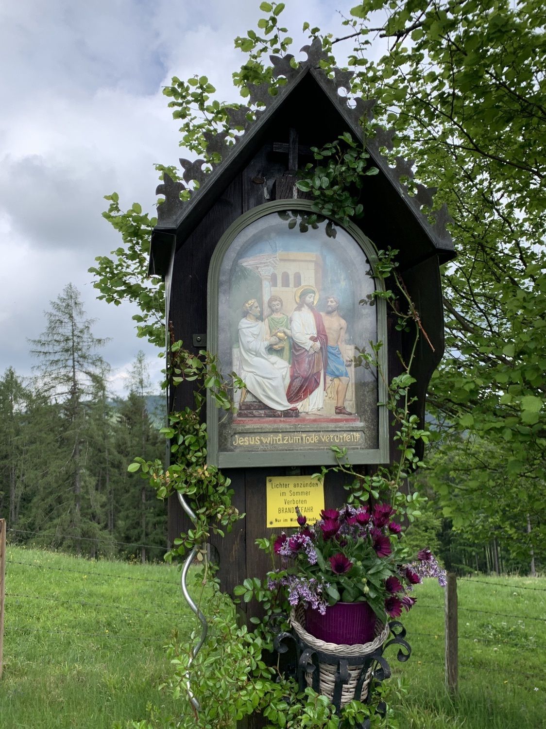
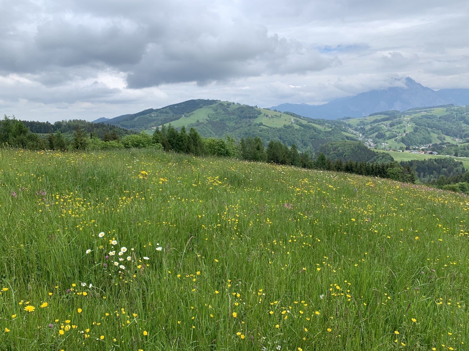
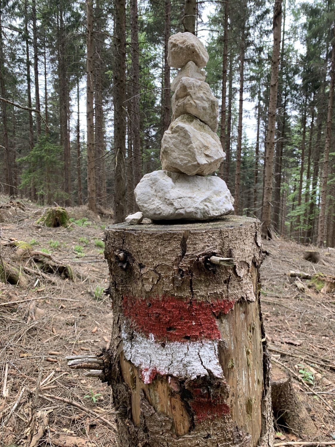
Wanderung auf den Richtberg
- Difficulty
-
easy
- Rating
-
- Route
-
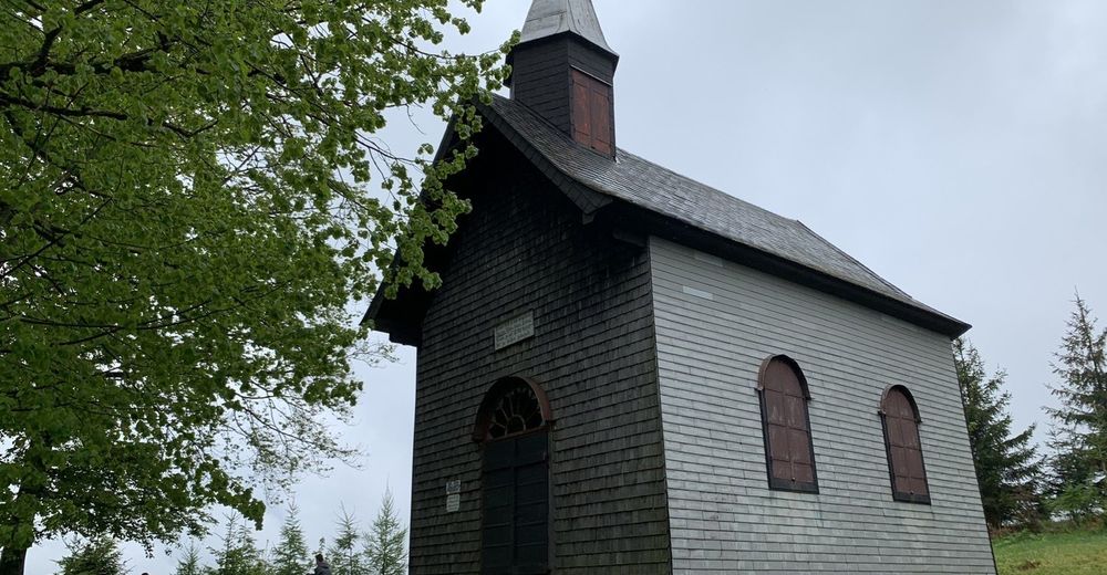
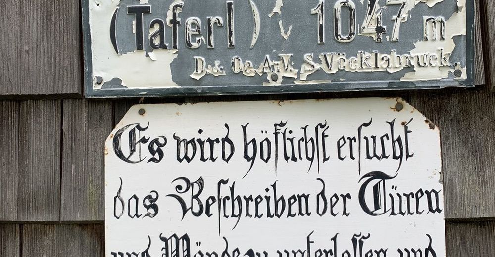
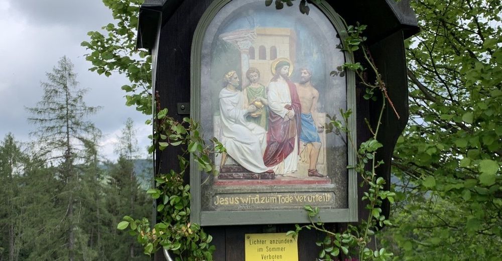
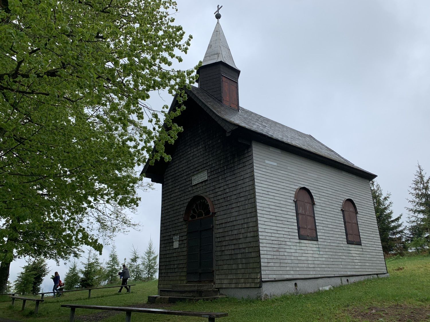
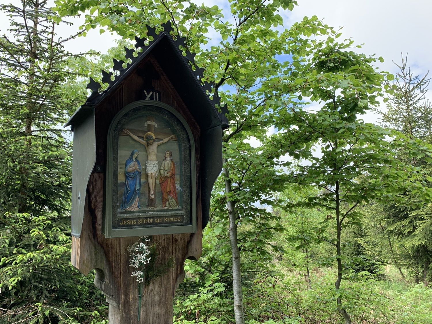
Reindlmühl0.5 kmReindlmühl0.7 kmKirchenwirtin Reindlmühl0.7 kmSchwarzenbachsattel (781 m)6.9 kmRichtberg (1,036 m)8.6 kmRichtberg Taferl Kapelle8.8 kmReindlmühl14.5 km
- Highest point
- 1,033 m

GPS Downloads


Other tours in the regions
-
Salzkammergut Oberösterreich
3086
-
Hausruckwald
760
-
Aurach am Hongar
242