
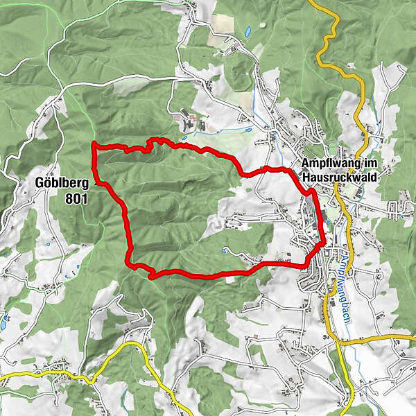
Tour data
8.81km
547
- 795m
288hm
294hm
02:07h
- Brief description
-
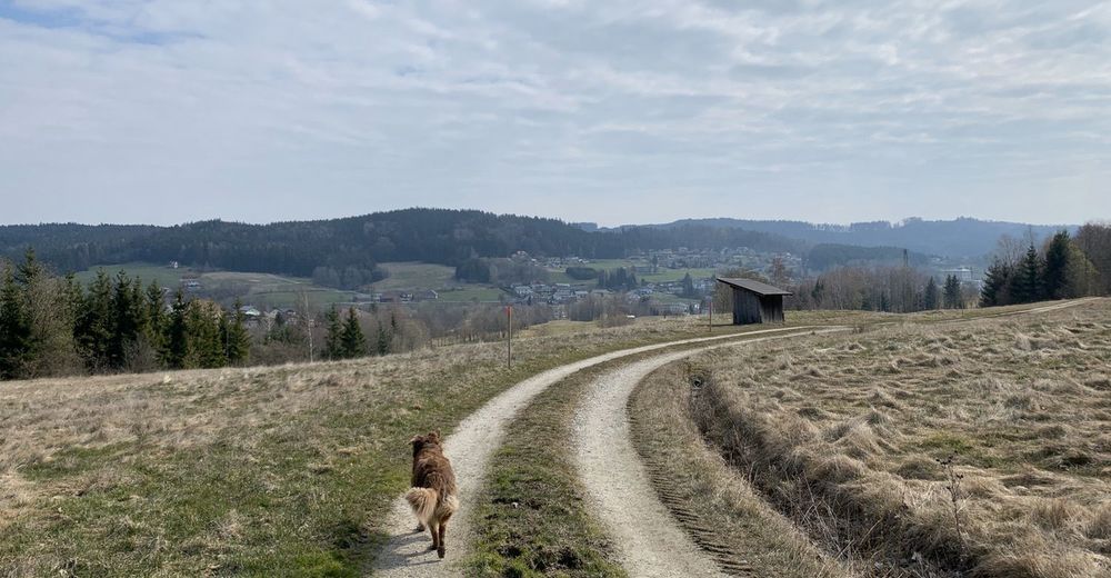
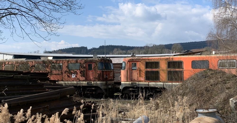
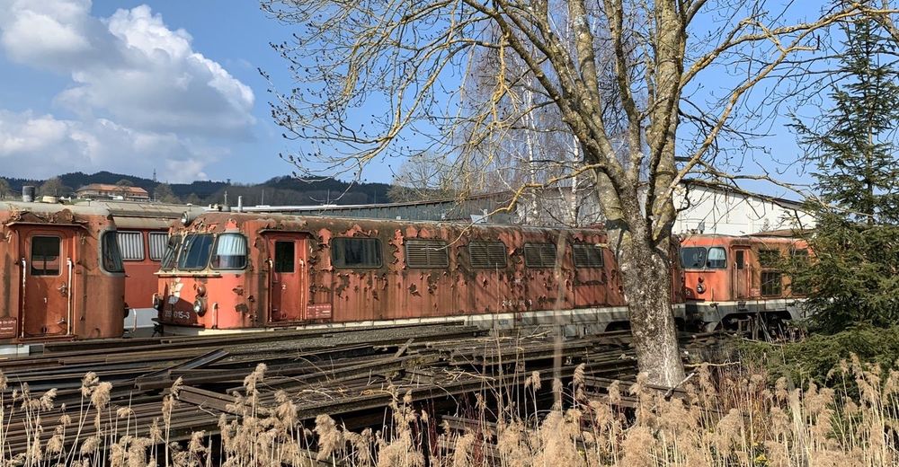
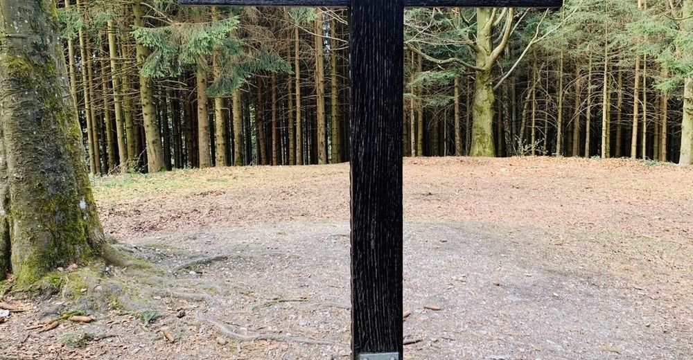
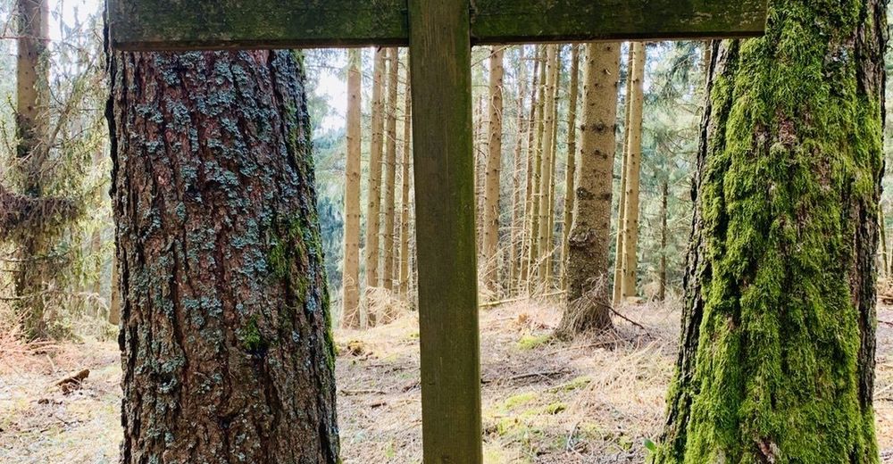
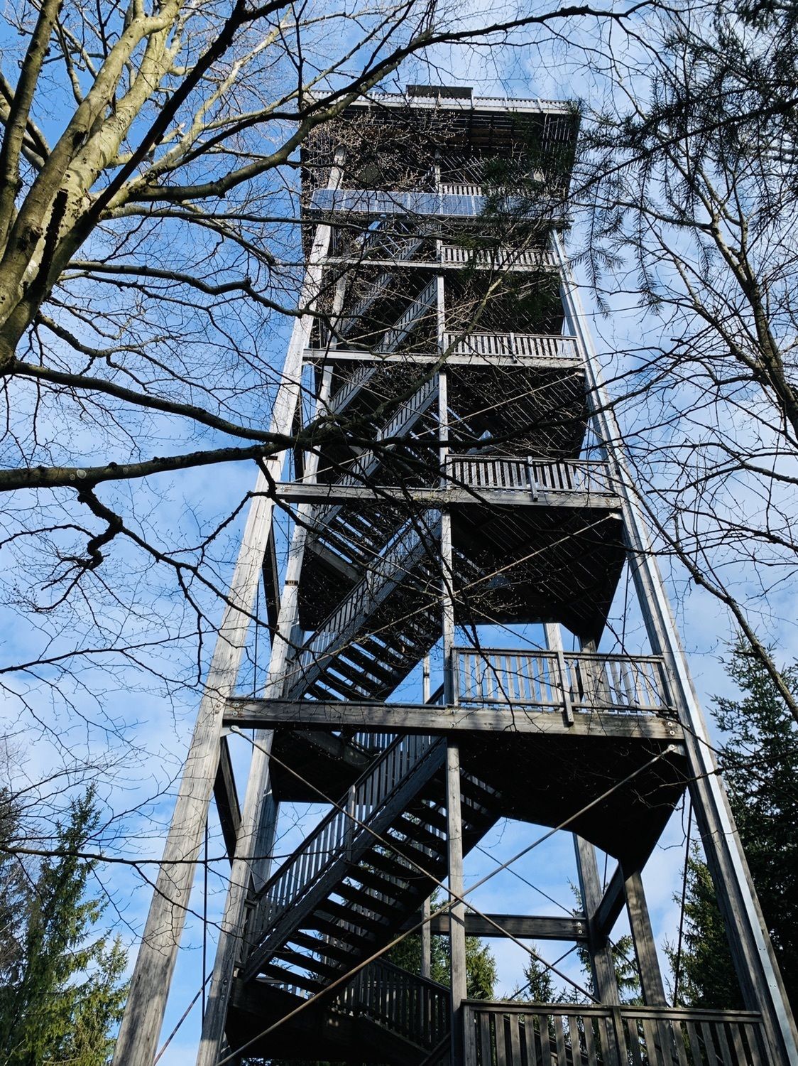
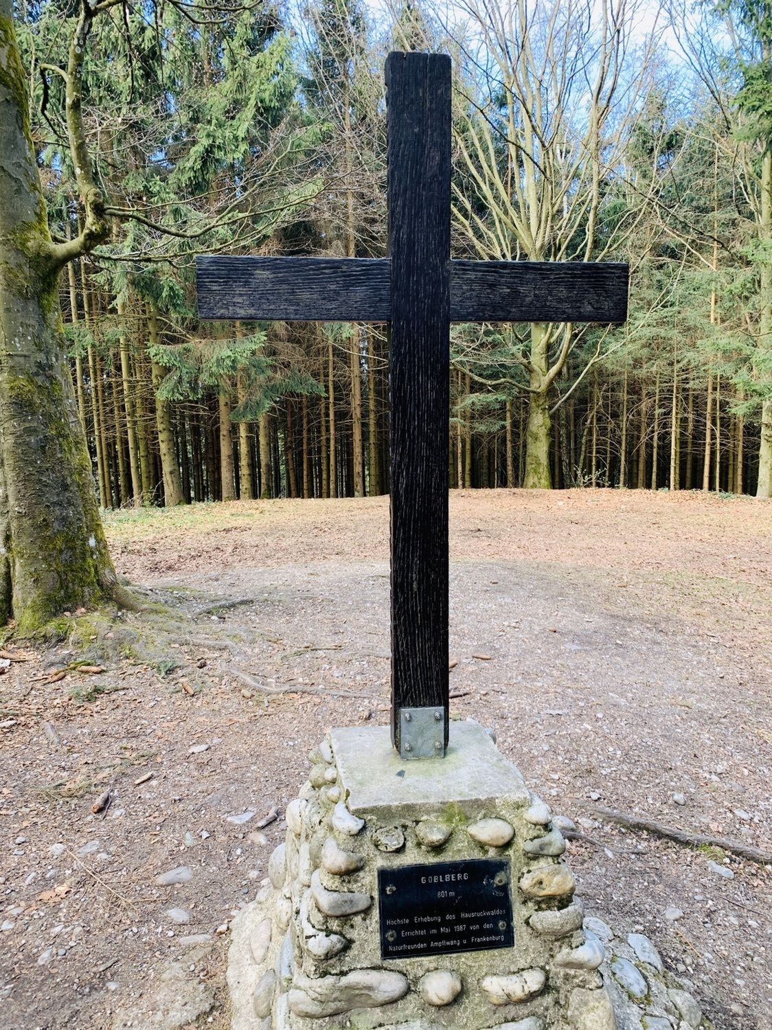
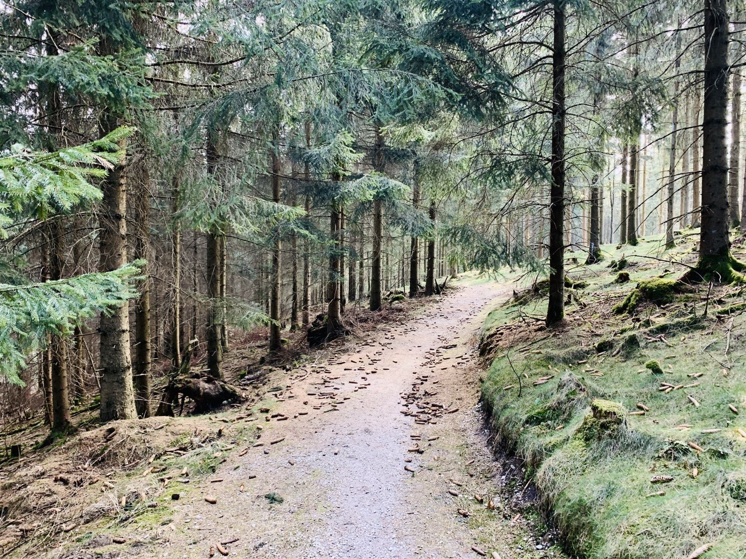
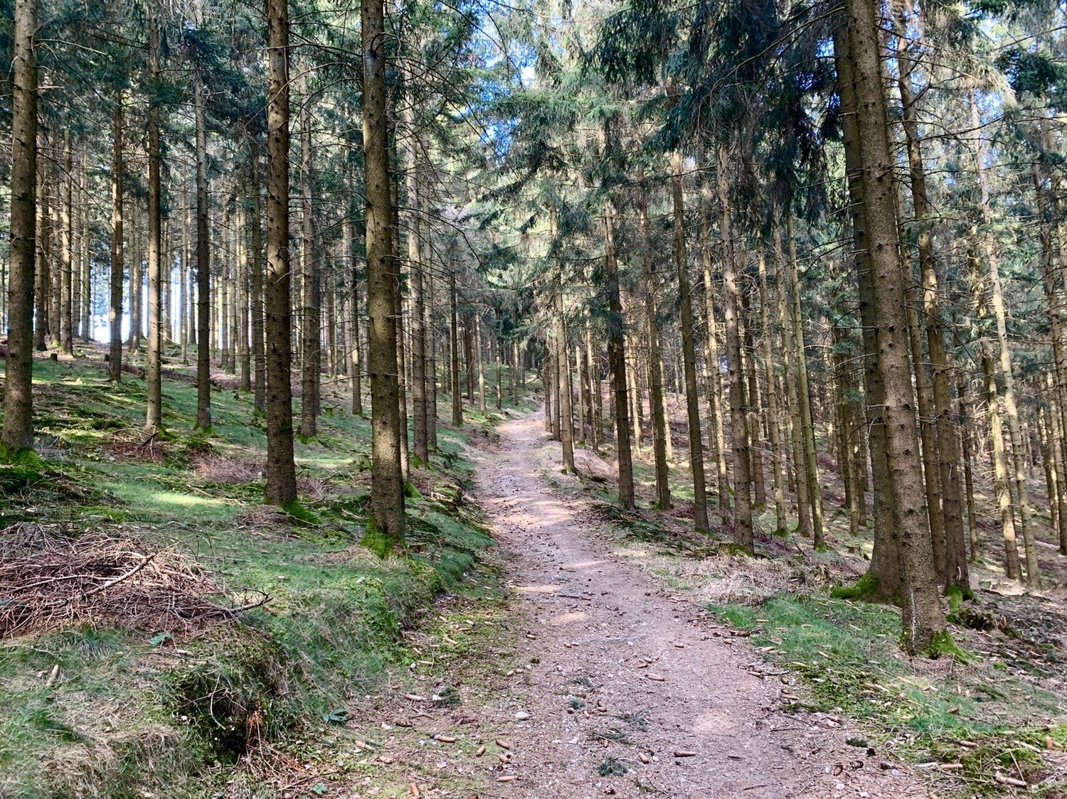
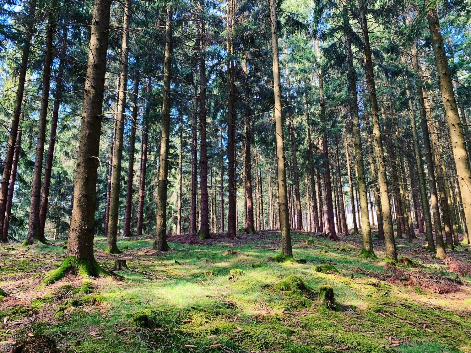
Von Ampflwang auf den Göblberg (801m)
- Difficulty
-
easy
- Rating
-
- Route
-
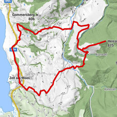
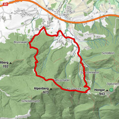
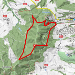
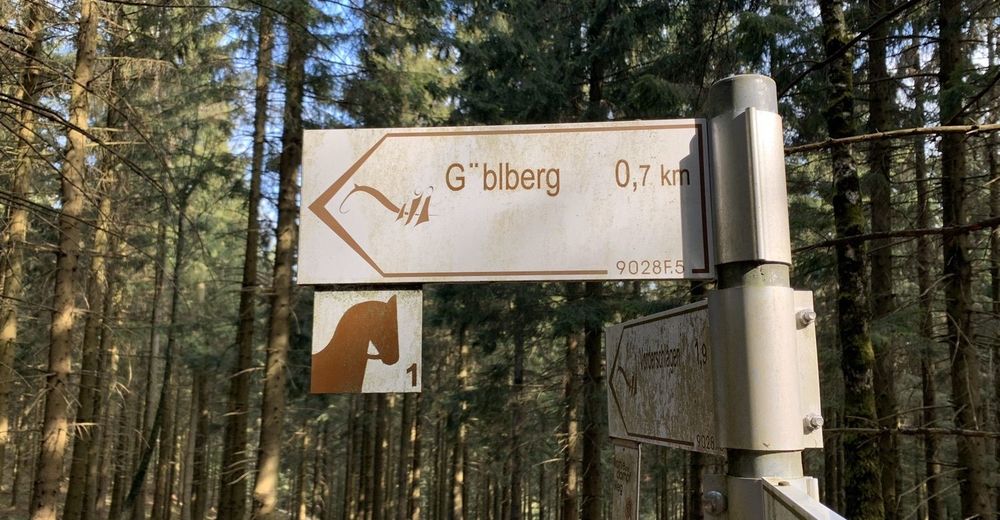
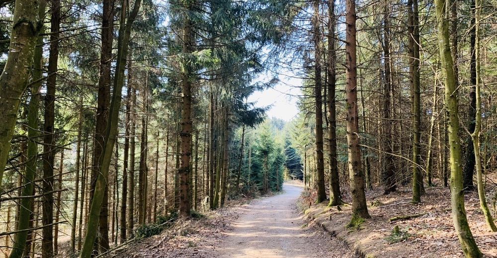
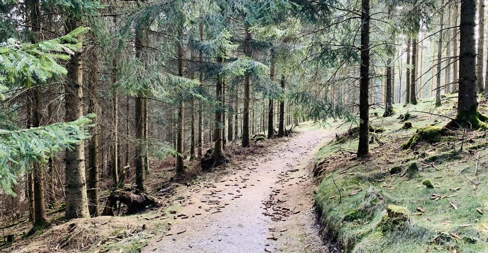
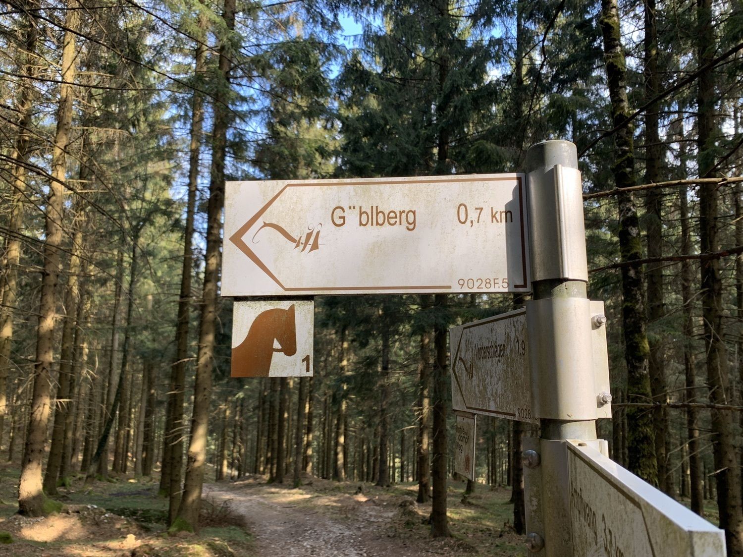
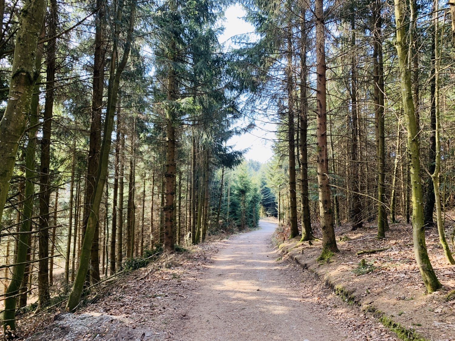
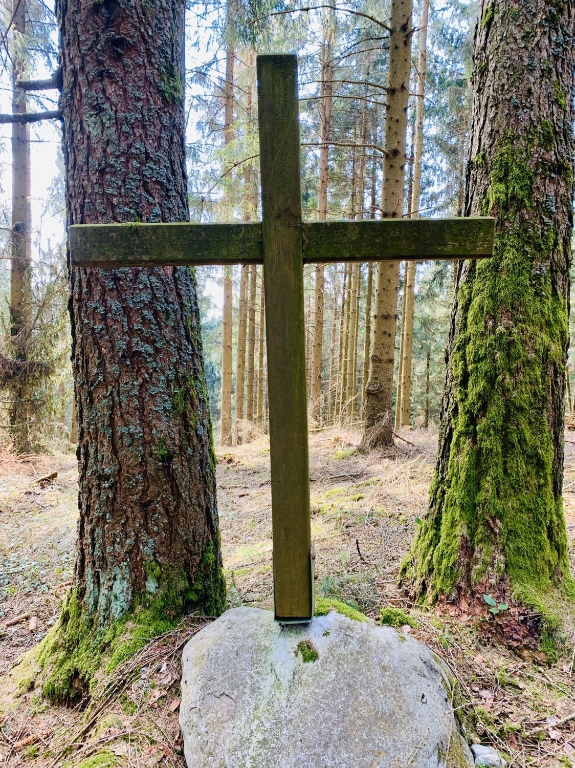
Ampflwang im HausruckwaldAmpflwang0.4 kmGasthaus Volksheim0.7 kmSiedlung0.9 kmSchmitzberg1.4 kmGöblberg (801 m)4.6 kmLärchengipfel (707 m)5.9 kmAmpflwang im Hausruckwald8.7 km
- Highest point
- 795 m


GPS Downloads


Other tours in the regions
-
Innviertel
801
-
Hausruckwald
760
-
Ampflwang
134