
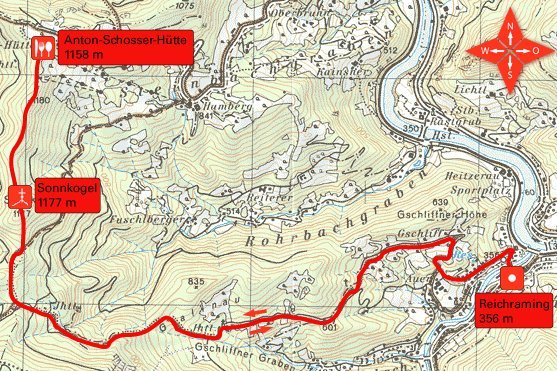
Tour data
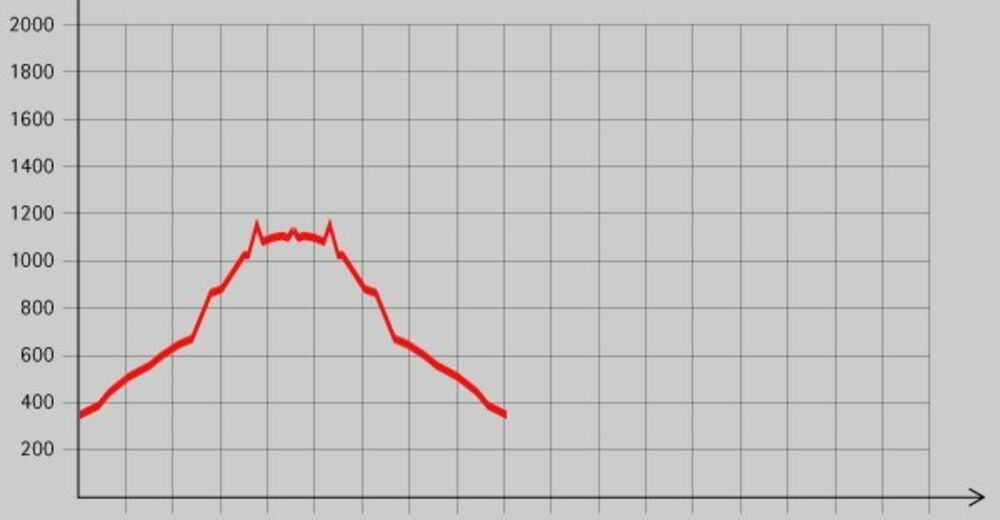
16.3km
372
- 1,159m
866hm
07:00h
- Brief description
-
Schöne Wanderung mit einer Einkehrmöglichkeit am Ziel.
- Rating
-
- Starting point
-
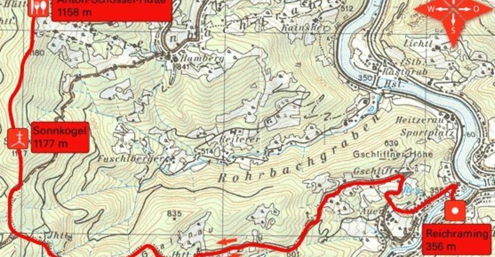
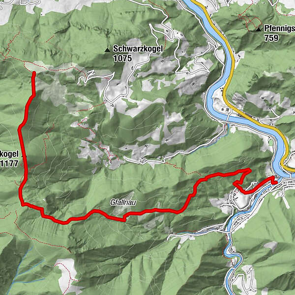
Ortsplatz von Reichraming (356 m)
- Route
-
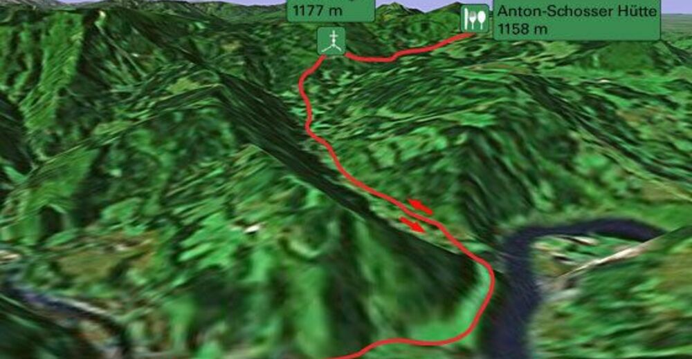
ReichramingSonnkogel (1,177 m)6.8 km
- Highest point
- 1,159 m
- Rest/Retreat
-
Anton-Schosserhütte
- Ticket material


GPS Downloads


Trail conditions
Asphalt
Gravel
Meadow
Forest
Rock
Exposed
Other tours in the regions
-
Traunviertel
1962
-
Steyr und die Nationalpark Region
1369
-
Losenstein
396


