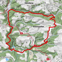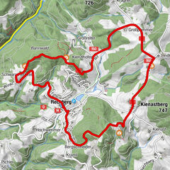
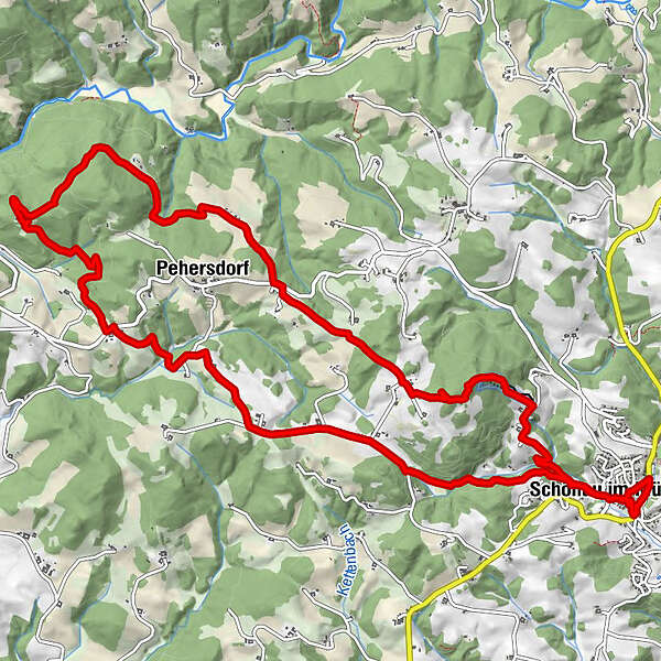
Tour data
15.58km
615
- 839m
483hm
491hm
03:43h
- Brief description
-
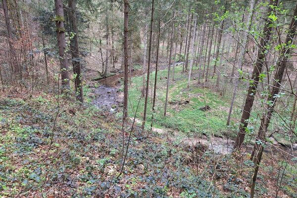
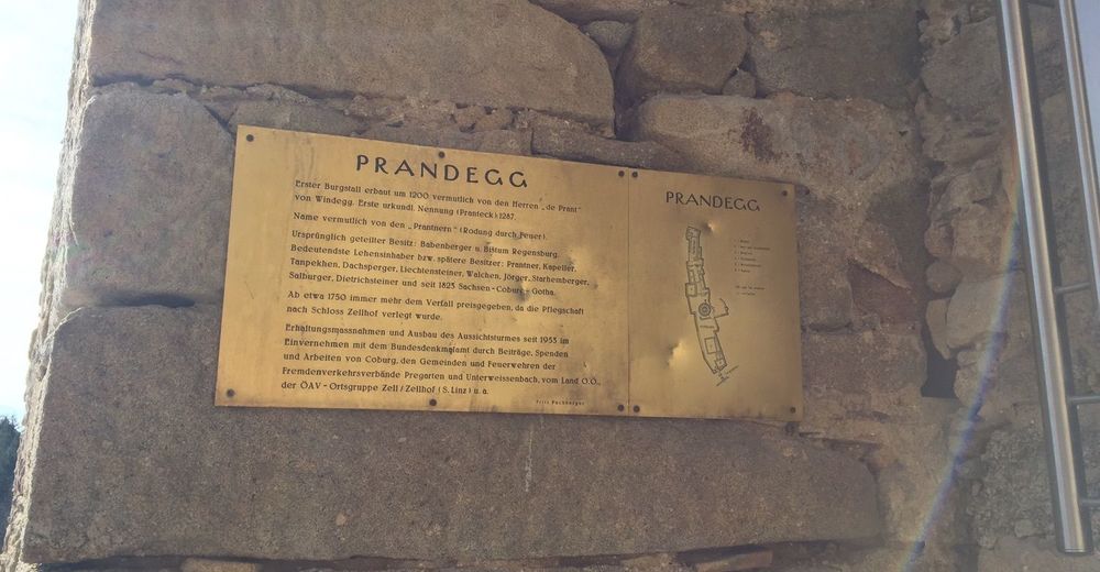
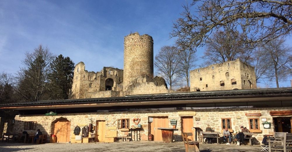
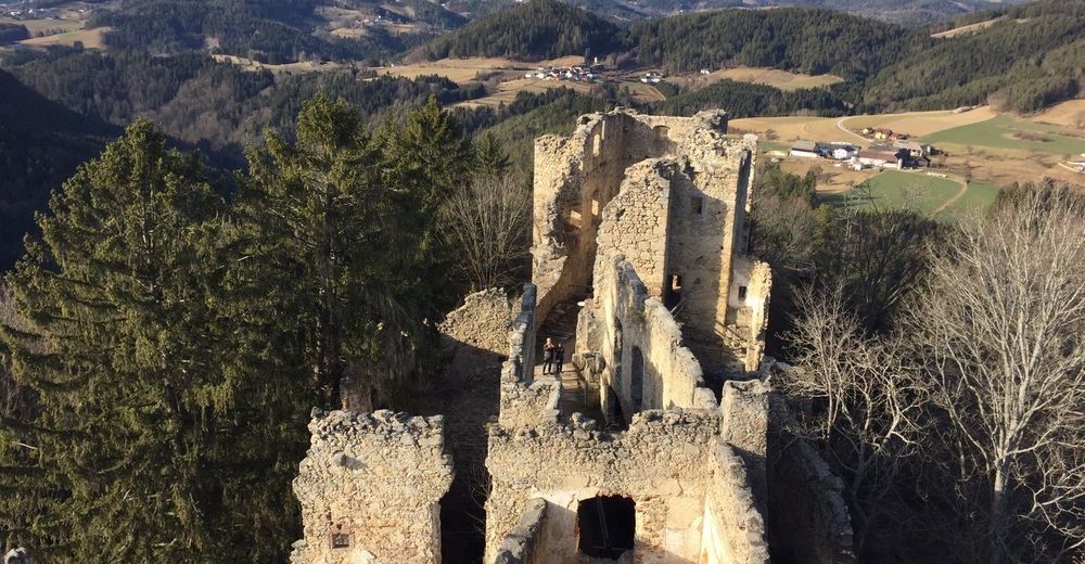
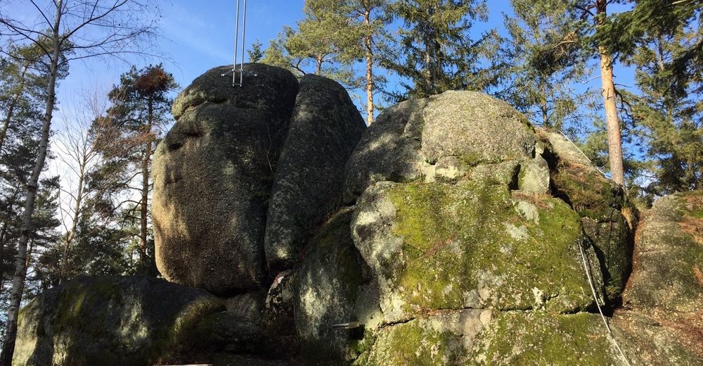
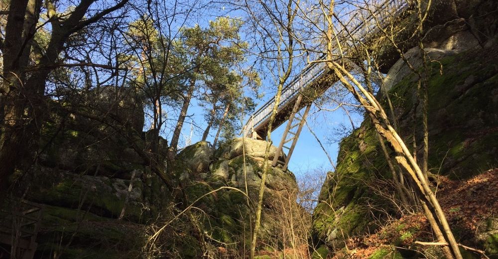
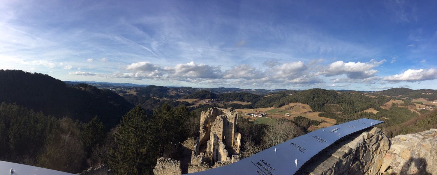
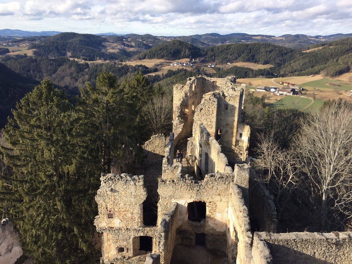
Schönau/Mühlkreis - StoaningerAlm - Herrgottsitz - Ruine Prandegg
- Difficulty
-
medium
- Rating
-
- Route
-
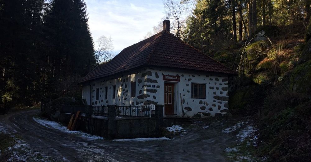
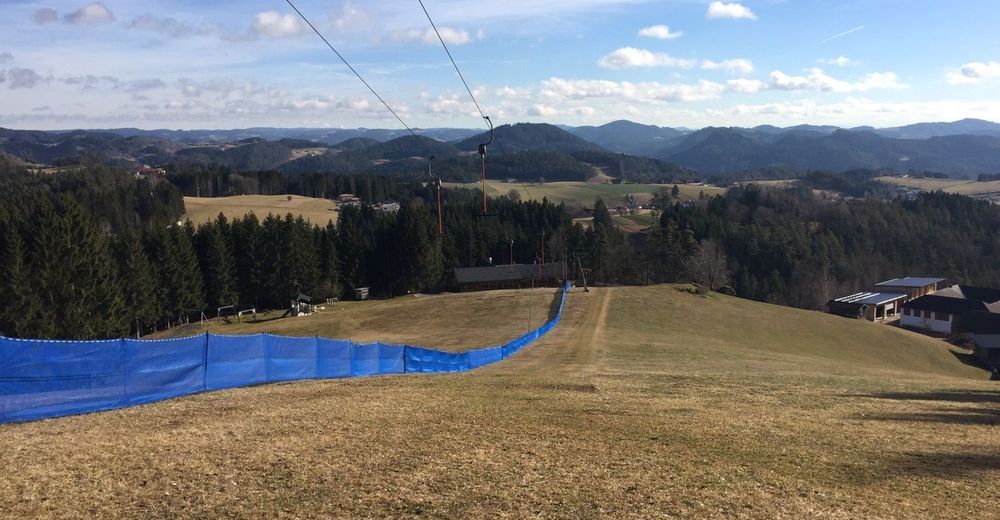
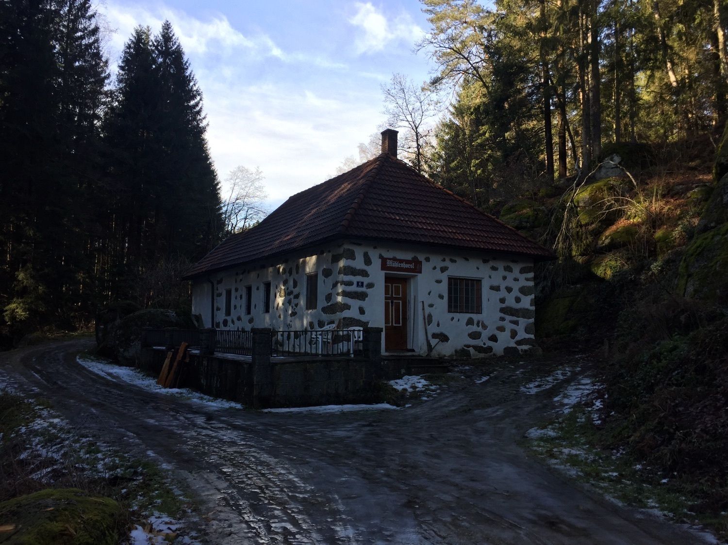
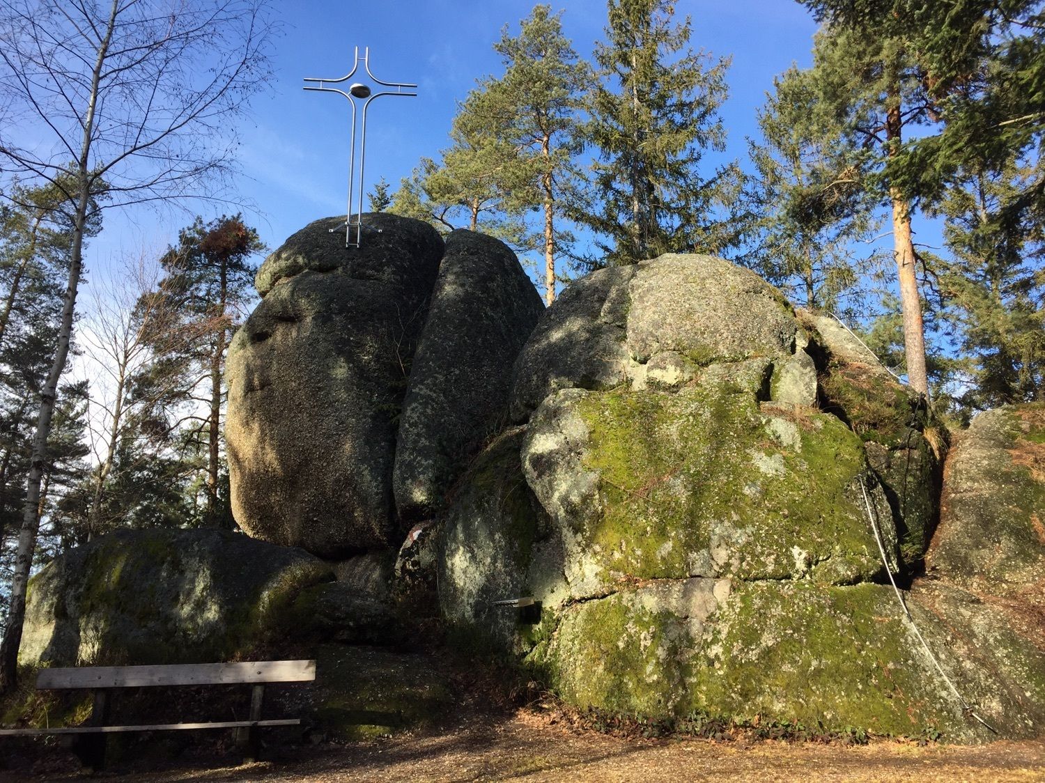
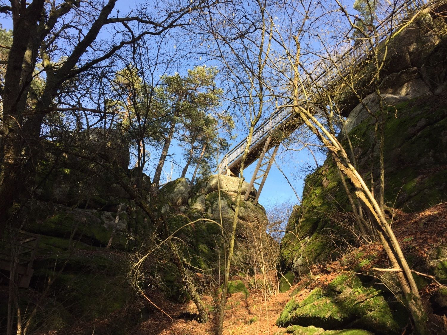
Jakobuskirche0.5 kmSchönau im Mühlkreis0.5 kmStoaninger Alm2.0 kmHerrgottsitz (855 m)3.1 kmKollnedt5.6 kmBurgruine Prandegg8.0 kmTaverne8.3 kmSchönau im Mühlkreis15.2 kmJakobuskirche15.2 km
- Highest point
- 839 m


GPS Downloads


Other tours in the regions
-
Mühlviertel
1781
-
Mühlviertler Alm Freistadt
1069
-
Schönau im Mühlkreis
315