Tour data
3.29km
503
- 777m
287hm
287hm
02:00h
- Brief description
-
Ausgangspunkt ist das Gemeindeamt/Infobüro Nußdorf am Attersee
- Difficulty
-
medium
- Rating
-
- Starting point
-
Gemeindeamt/Infobüro Nußdorf am Attersee
- Route
-
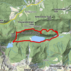
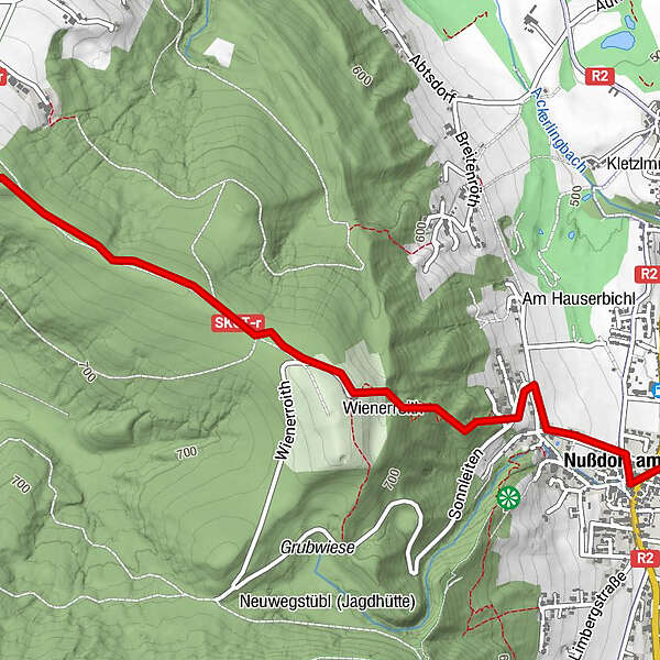
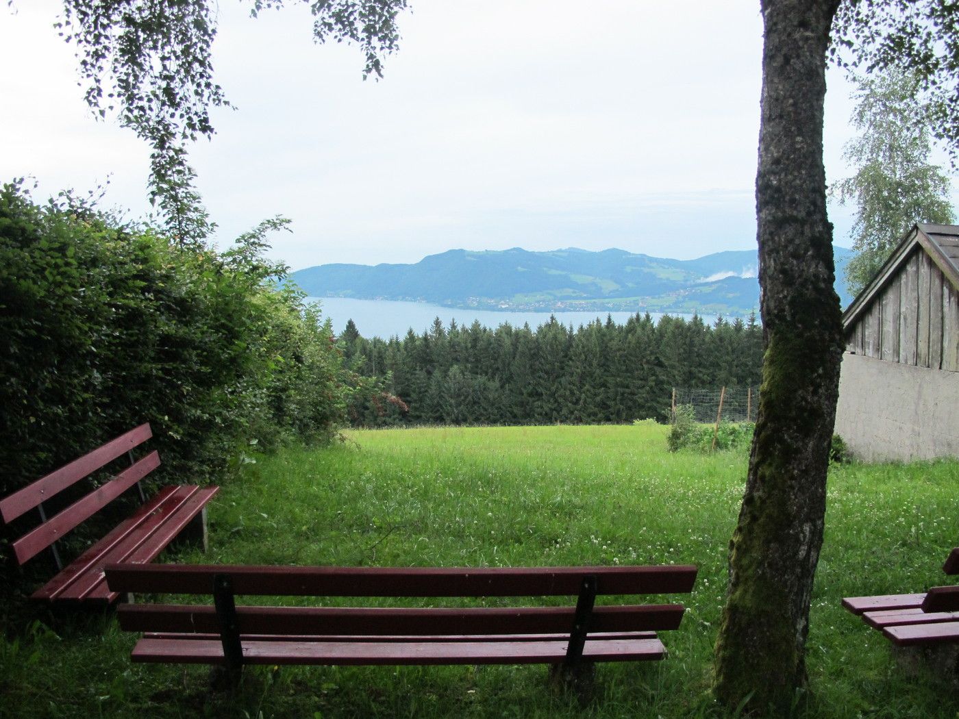
Nußdorf am Attersee0.0 kmKronberg (789 m)3.0 km
- Best season
-
JanFebMarAprMayJunJulAugSepOctNovDec
- Highest point
- 777 m
- Endpoint
-
Kronberg
- Rest/Retreat
-
Jausenstation in der Nähe der Kronberg-Kapelle
- Info phone
-
+43 (0)7666 / 7719-40
- Link
- https://attersee-attergau.salzkammergut.at/oest...
- Source
- Tourismusverband Attersee-Attergau
GPS Downloads


Trail conditions
Asphalt
Gravel
Meadow
Forest
Rock
Exposed
Other tours in the regions