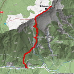
Tour data
15.54km
722
- 1,708m
902hm
652hm
06:53h
- Brief description
-
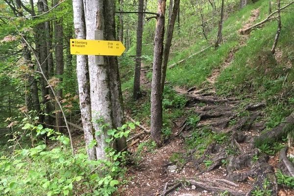
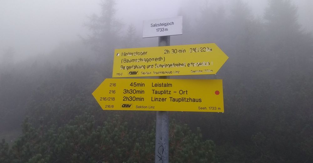
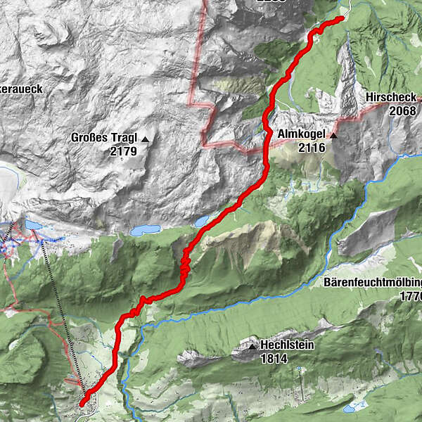
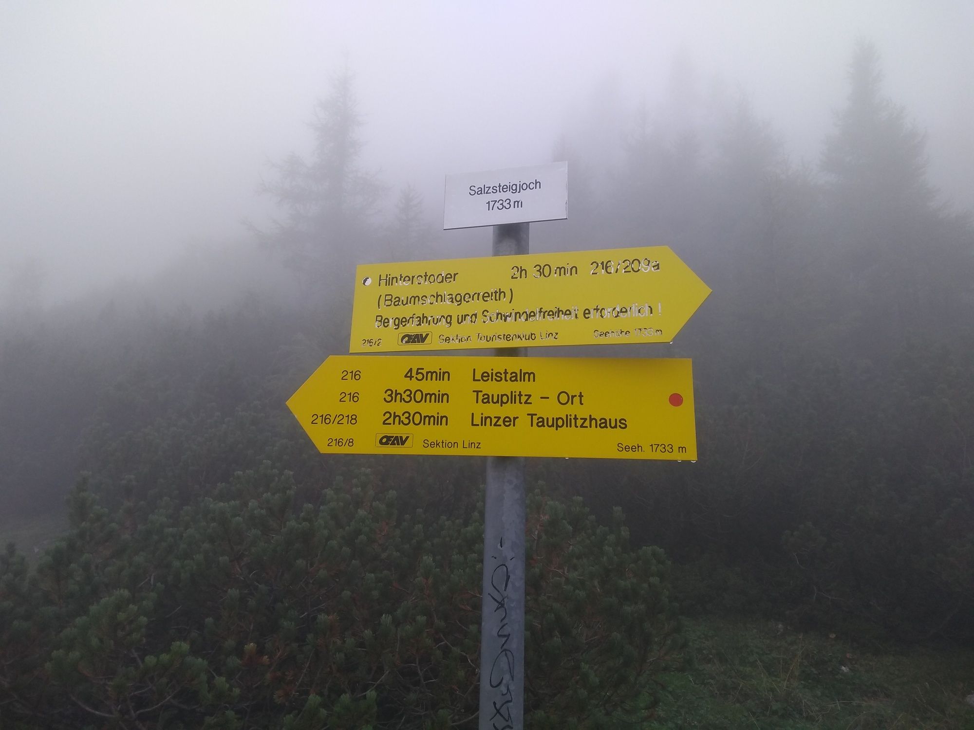
Wanderung über das Salzsteigjoch von Hinterstoder-Baumschlagerreith nach Tauplitz Ort
- Difficulty
-
difficult
- Rating
-
- Starting point
-
Parkplatz Baumschlagerreith
- Route
-
Almgasthof BaumschlagerreithRiesen Höhe8.1 kmTauplitz15.4 km
- Best season
-
JanFebMarAprMayJunJulAugSepOctNovDec
- Highest point
- 1,708 m
- Endpoint
-
Tauplitz Ort
- Rest/Retreat
-
Gasthaus Baumschlagerreith, Leistalm
GPS Downloads


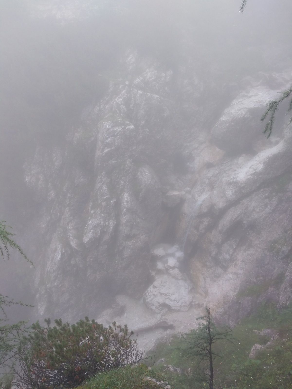
Trail conditions
Asphalt
Gravel
Meadow
Forest
Rock
Exposed
Other tours in the regions
-
Ausseerland - Salzkammergut
3382
-
Grimming - Donnersbachtal
976
-
Tauplitz
305