


- Brief description
-
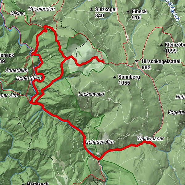
EXPERIENCE WORLD HERITAGE! Circular hike in the heart of the Kalkalpen National Park from Weißwasser via Hochschlacht to the Anlaufalm. Return via Triftsteig. ONLY FOR PRACTICED!
- Difficulty
-
difficult
- Rating
-
- Starting point
-
Parking Weißwasser, Unterlaussa
- Route
-
Weißwasser0.1 kmSchleierfall4.4 kmAnlaufalm7.5 kmSchleierfall13.6 kmWeißwasser17.8 km
- Best season
-
JanFebMarAprMayJunJulAugSepOctNovDec
- Description
-
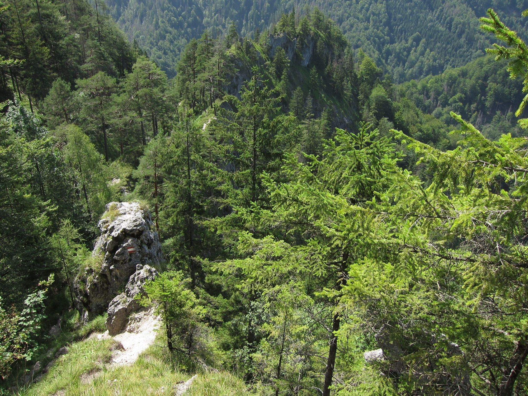
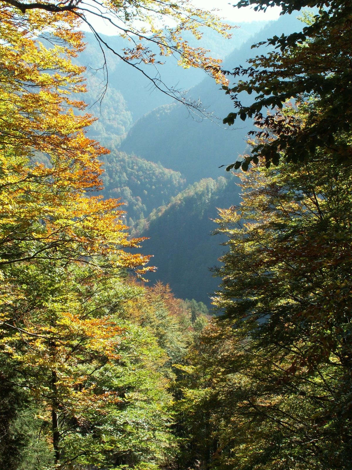
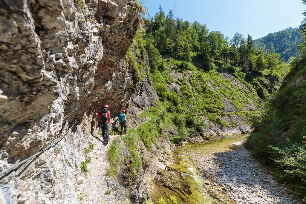
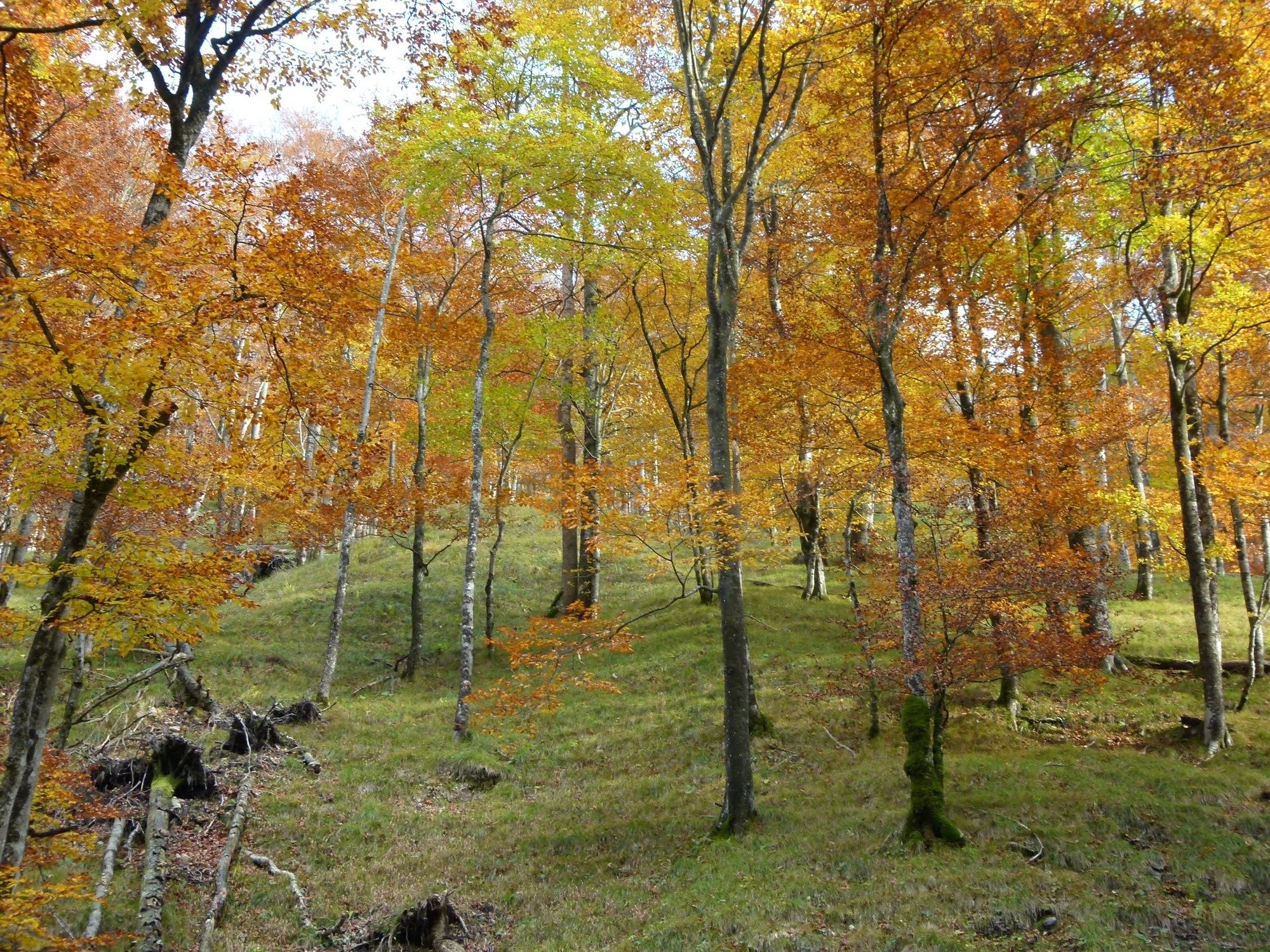
The Kalkalpen National Park is the largest protected beech forest area in the Alps and has been Austria's first UNESCO World Natural Heritage Site since 2017. This hike immerses you in the World Natural Heritage beech forests in the Reichraminger Hintergebirge. The steep ascent over the Hochschlacht to the Anlaufalm requires good physical condition. After a well-deserved rest, you return downhill to the Annerlsteg where the next highlight of the hike - the Triftsteig - awaits you. The narrow path, similar to a climbing path, winds it way along the rock, below where the big brook spectacularly squeezes its way through the big gorge. Partly equipped with a step bar and rope insurances, the Triftsteig is only recommended for persons who are sure-footed and have no fear of heights. At the end of the Triftsteig you return comfortably to the starting point on the forest road.
Possible alternative route in combination with bicycle.
- Directions
-
- Highest point
- 985 m
- Endpoint
-
Parking Weißwasser
- Height profile
-

- Equipment
-
Mountain boots, rain protection, sun protection, hiking sticks, backpack with provisions for on the way, sufficient drinking water, possibly safety device for the Triftsteig.
- Safety instructions
-
The ascent over the Hochschlacht is very steep and exhausting, slippery in rainy weather. The Triftsteig is a narrow path similar to a climbing path, partly with step bar and rope insurances, there is no possibility to get out on the path. Good physical condition, sure-footedness and head for heights required!
- Tips
-
Please don't forget to save the tour "offline" before you start (top right), as mobile phone reception is not always available in the forest wilderness of the National Park.
- Directions
-
Parking lot Weißwasser, access via 8934 Unterlaussa/Mooshöhe (passing the Knappenhaus)
- Parking
-
Parking lot Weißwasser, no parking fee


- Author
-
The tour Anlaufalm, Hochschlacht, Triftsteig, circular hiking trail is used by outdooractive.com provided.


General info
-
Gesäuse
2222
-
Steyr und die Nationalpark Region
1370
-
Rosenau am Hengstpaß
428


