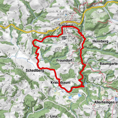
Tour data
4.09km
416
- 493m
128hm
100hm
01:07h
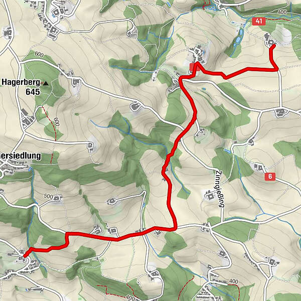
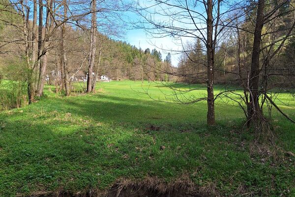
- Brief description
-
Leichter Weg mit wenig Wald, gute für Ungeübte
- Difficulty
-
easy
- Rating
-
- Route
-
Zinngießing1.1 kmNiederkulm3.1 kmMirellenstüberl4.0 km
- Highest point
- 493 m
GPS Downloads


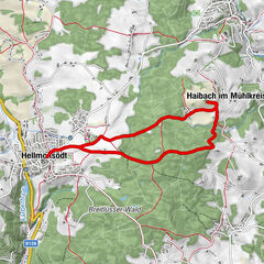
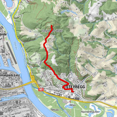
Other tours in the regions
-
Mühlviertel
1781
-
Linz & Region Linz
842
-
Altenberg bei Linz
414