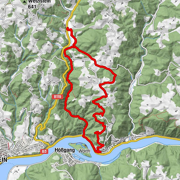
Tour data
12km
226
- 507m
246hm
266hm
03:00h
- Brief description
-
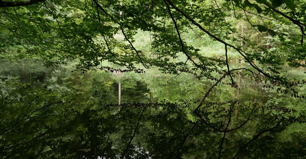
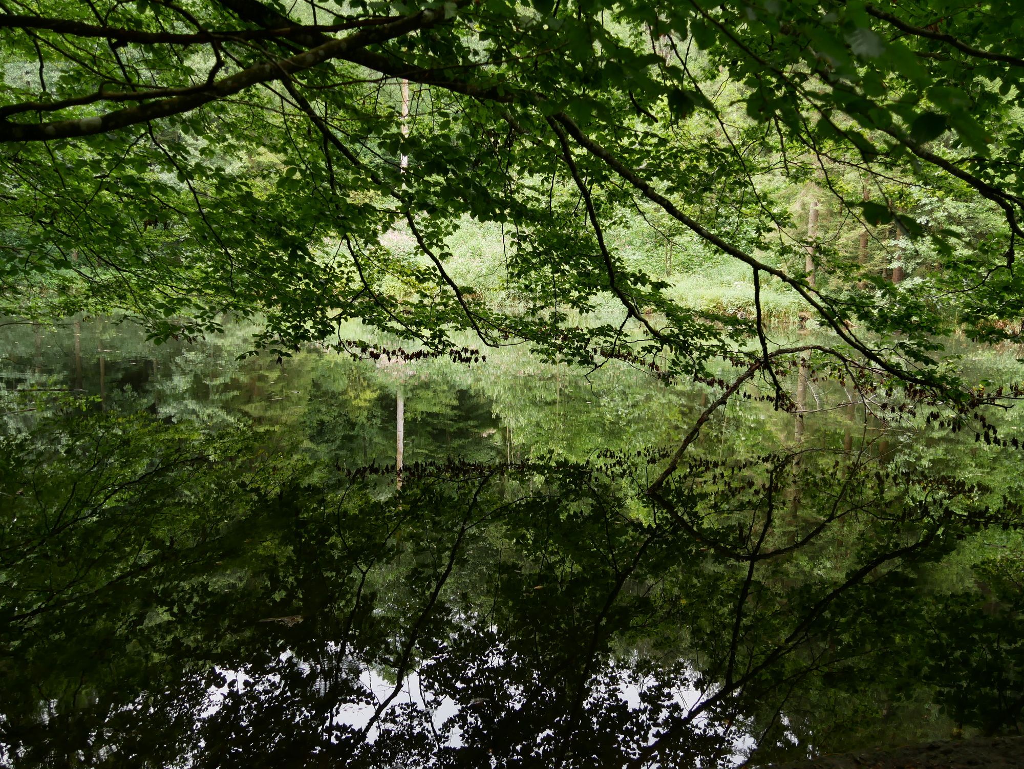
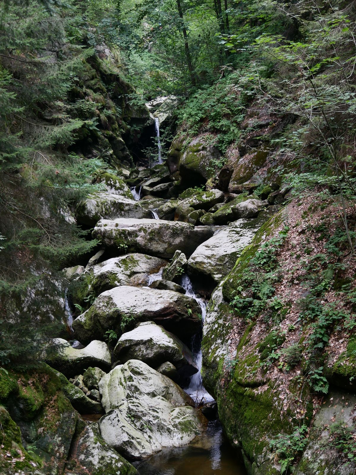
Wunderschöner Rundweg
- Difficulty
-
medium
- Rating
-
- Starting point
-
Gasthaus Aumühle
- Route
-
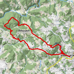
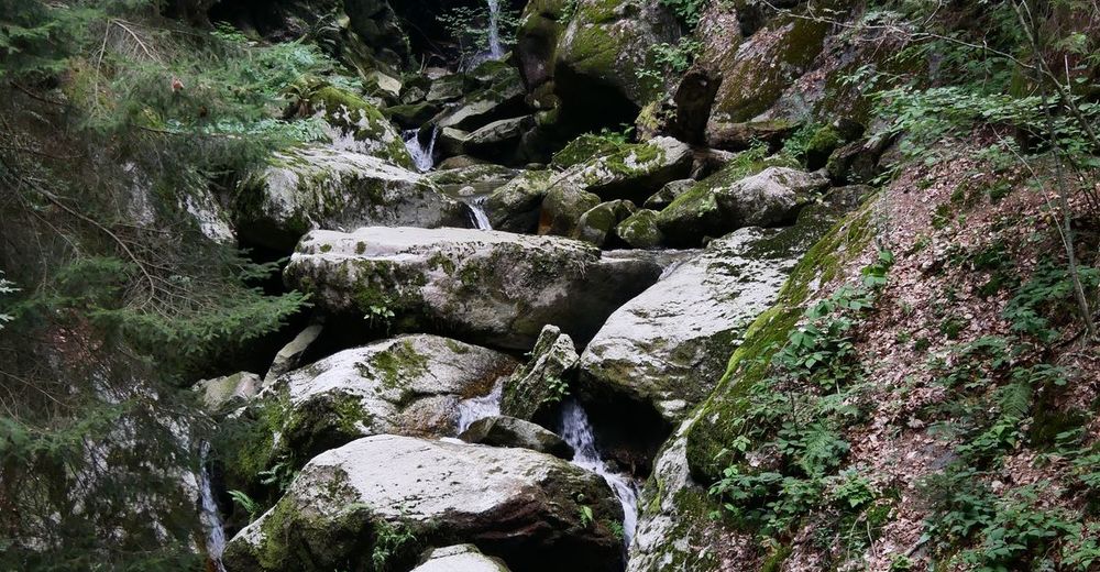
Aumühle GH Schöller0.0 kmStruden6.4 kmStiller Stein9.7 kmStillensteinklamm9.9 kmAumühle GH Schöller12.0 km
- Highest point
- 507 m
- Endpoint
-
Gasthaus Aumühle
- Rest/Retreat
-
GH Aumühle, Willis Mühlenjause

GPS Downloads


Trail conditions
Asphalt
(3)
Gravel
Meadow
(2)
Forest
(7)
Rock
Exposed
Other tours in the regions
-
Mostviertel
2451
-
Strudengau
799
-
St. Nikola an der Donau
200