© Michael J. Merl
© Michael J. Merl
© Michael J. Merl
© Michael J. Merl
Tour data
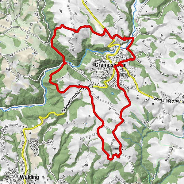
13.51km
403
- 573m
345hm
349hm
03:30h
- Brief description
-
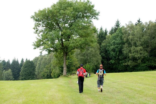
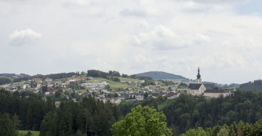
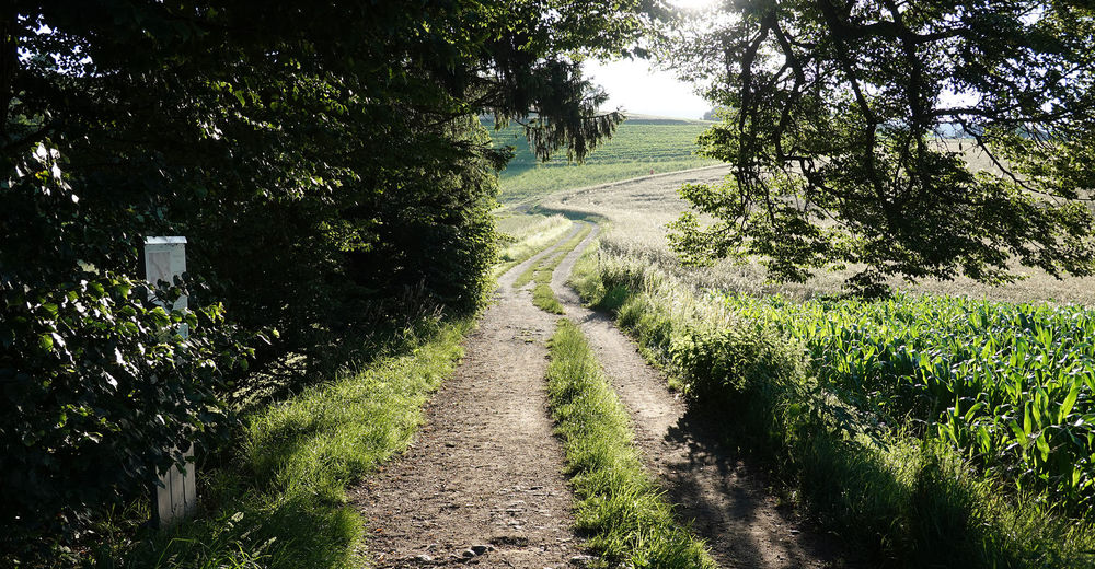
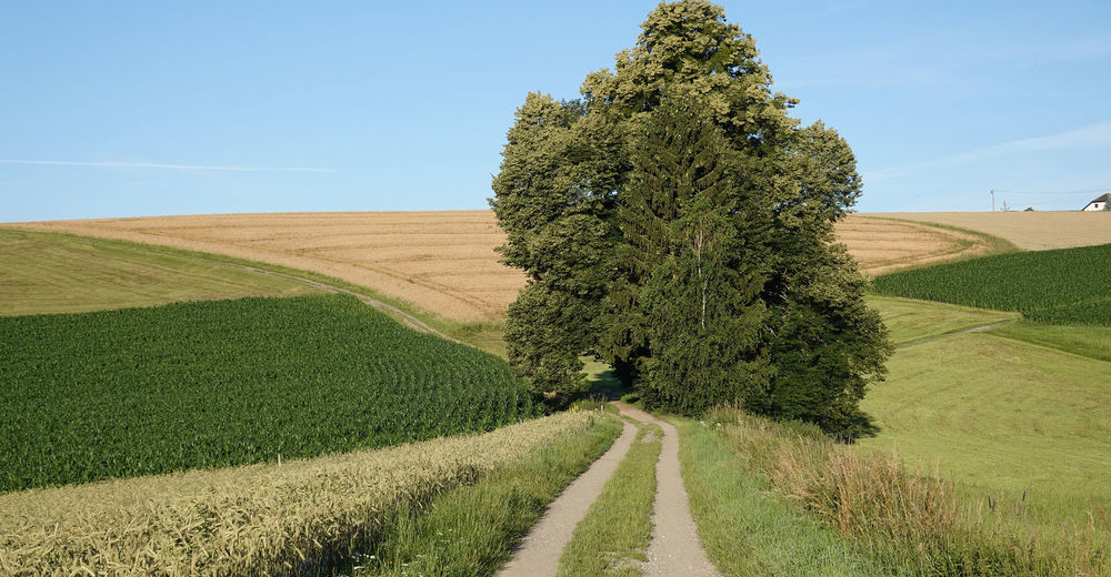
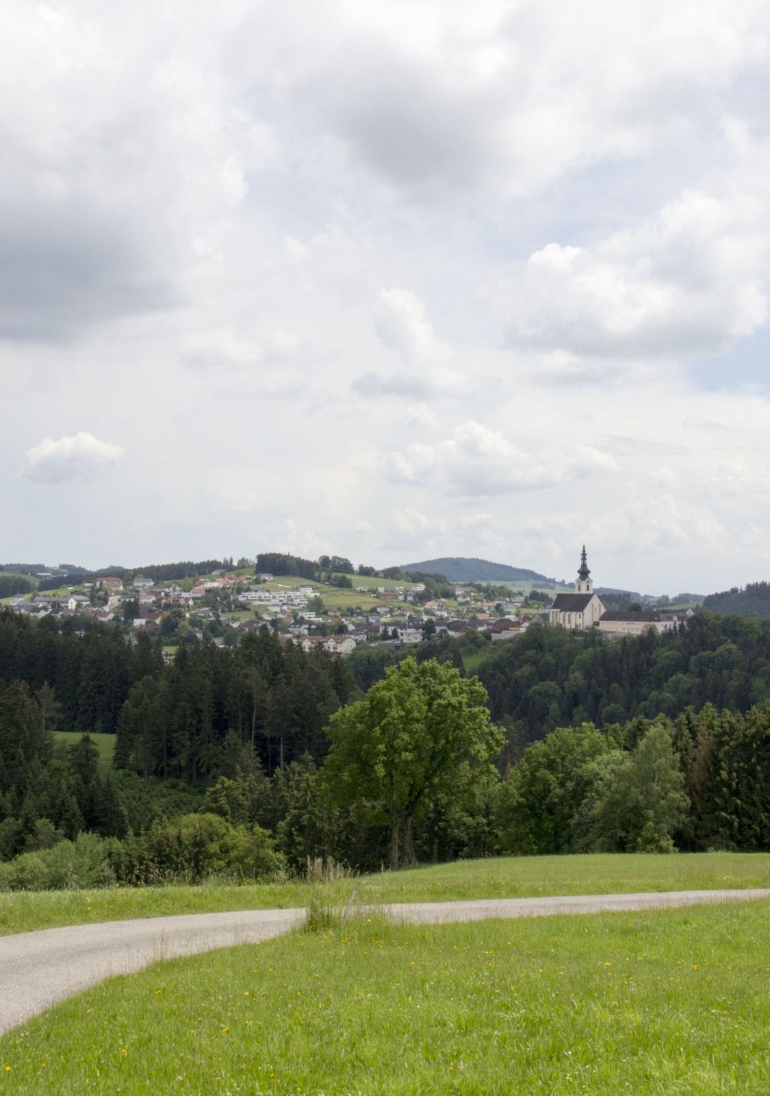
Circling the the village of Gramastetten in a varied king-trip with special views of the landscape, down to the Danube valley and the Alps
- Difficulty
-
easy
- Rating
-
- Starting point
-
Parkplatz gegenüber der Schulzentrum Gramastetten
- Route
-
Gramastetten0.1 kmAnger3.5 kmLichtenhag7.5 kmHamberg (567 m)9.3 kmGramastetten13.2 km
- Best season
-
JanFebMarAprMayJunJulAugSepOctNovDec
- Highest point
- Anger (573 m)
- Endpoint
-
Ausgangspunkt
- Rest/Retreat
-
Restaurant Gramaphon; Pizzeria Leone; Gasthof Kirchenwirt ... alle im Ort Gramastetten
- Ticket material
-
Freytag Berndt Wanderkarten, WK 053, Mühlviertel - Freistadt - Bad Leonfelden - Bad Zell - Linz - Maßstab 1:50.000 (freytag & berndt Wander-Rad-Freizeitkarten); KOMPASS Wanderkarte Linz und Umgebung, Mühlviertel, Wels, Steyr: 2 Wanderkarten 1:50000 (KOMPASS-Wanderkarten, Band 202)
- Information material
-

- Source
- Michael J. Merl
GPS Downloads


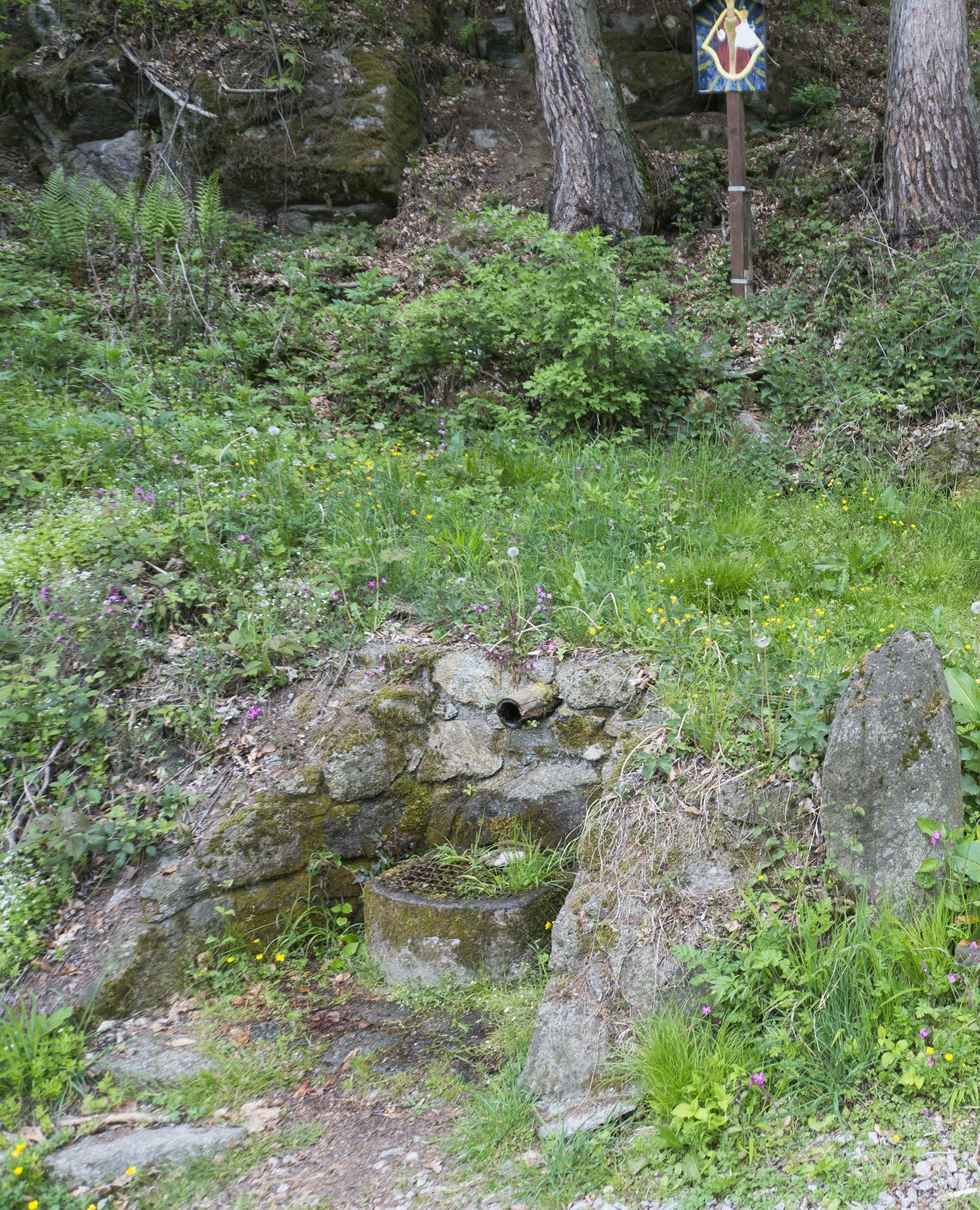
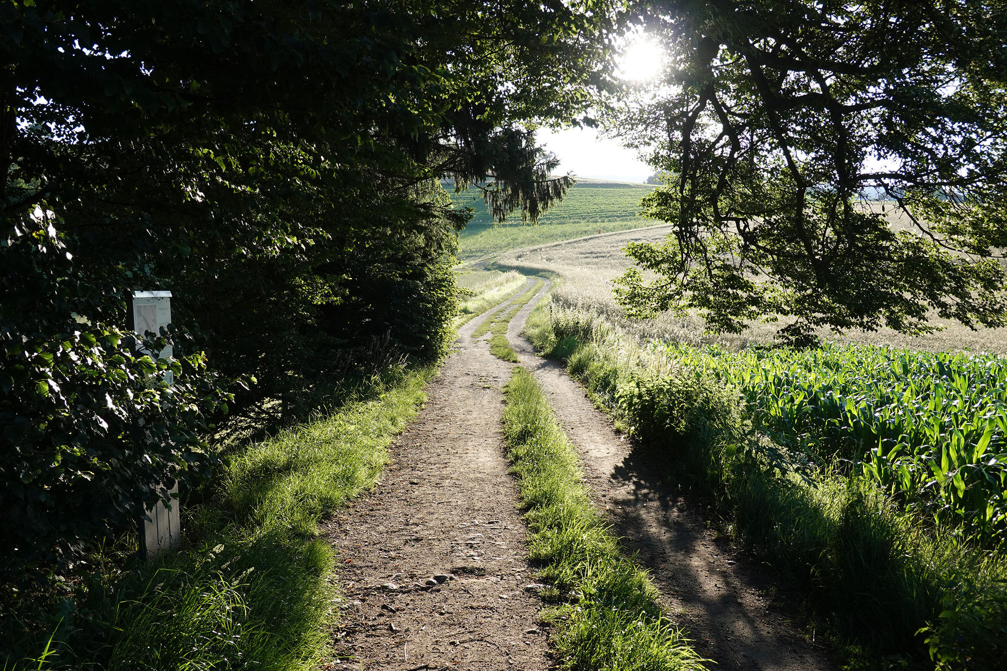
Trail conditions
Asphalt
(7,3 km)
Gravel
(5,4 km)
Meadow
(0,8 km)
Forest
Rock
Exposed
Other tours in the regions
-
Mühlviertel
1781
-
Linz & Region Linz
842
-
Gramastetten
350