- Brief description
-
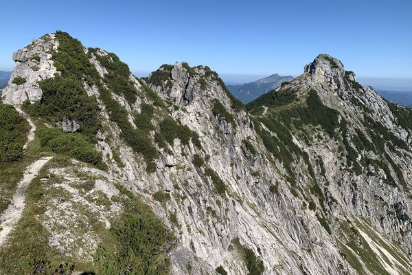
The promising walk in the hiking region Dachstein West is perfect for gourmet hikers. The numerous pastures invite you to linger, always in view of the Dachstein glacier.
- Difficulty
-
easy
- Rating
-
- Starting point
-
Mountain Station Hornbahn Russbach
- Route
-
Go-Go-Sau0.1 kmHornspitz (1,433 m)0.3 km
- Best season
-
JanFebMarAprMayJunJulAugSepOctNovDec
- Description
-
The Hornbahn Russbach takes you comfortably and simply to the 1.450m high Hornspitz. There you will find numerous and varied hiking trails next to Bruno's mountain world. Whether walkers, "push chair driver", hut lovers or passionate hikers, there is something for everyone. If you prefer a more leisurely pace, you can explore the alpine pasture area with the little train “Ameisenexpress”.
- Directions
-
From the Hornbahn summit station to the top of Hornspitz summit. At the top, enjoymagnificent panoramic views. Afterwards, hike down a short way then turn right ontothe forestry road. This will eventually bring you back to the start. Either ride the Hornbahnlift (consult timetable!), or follow hiking paths with signs for the Hornbahn summitstation.
- Highest point
- 1,408 m
- Endpoint
-
Mountain Station Hornbahn Russbach
- Height profile
-

- Equipment
-
Hard shoes, rain jacket and a snack are recommended.
- Tips
-
A visit to Bruno's mountain world at the Horn is very rewarding.
- Arrival
-
Coming from the A10 motorway, take the exit Golling direction Abtenau and Russbach. From Bad Ischl you drive via Bad Goisern and Gosau to Russbach.
- Public transportation
- Parking
-
You will find enough parking area in the center of Russbach or at the valley station of the Hornbahn Russbach.
- Author
-
The tour Russbach: Hornspitz-Rundweg is used by outdooractive.com provided.