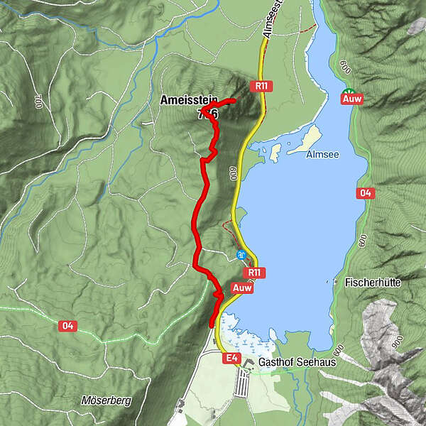
Tour data
1.83km
602
- 768m
179hm
179hm
01:00h
- Difficulty
-
easy
- Rating
-
- Starting point
-
gleich wie der Parkplatz
- Route
-
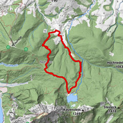
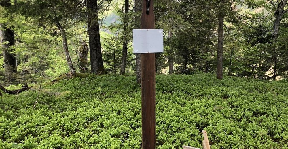
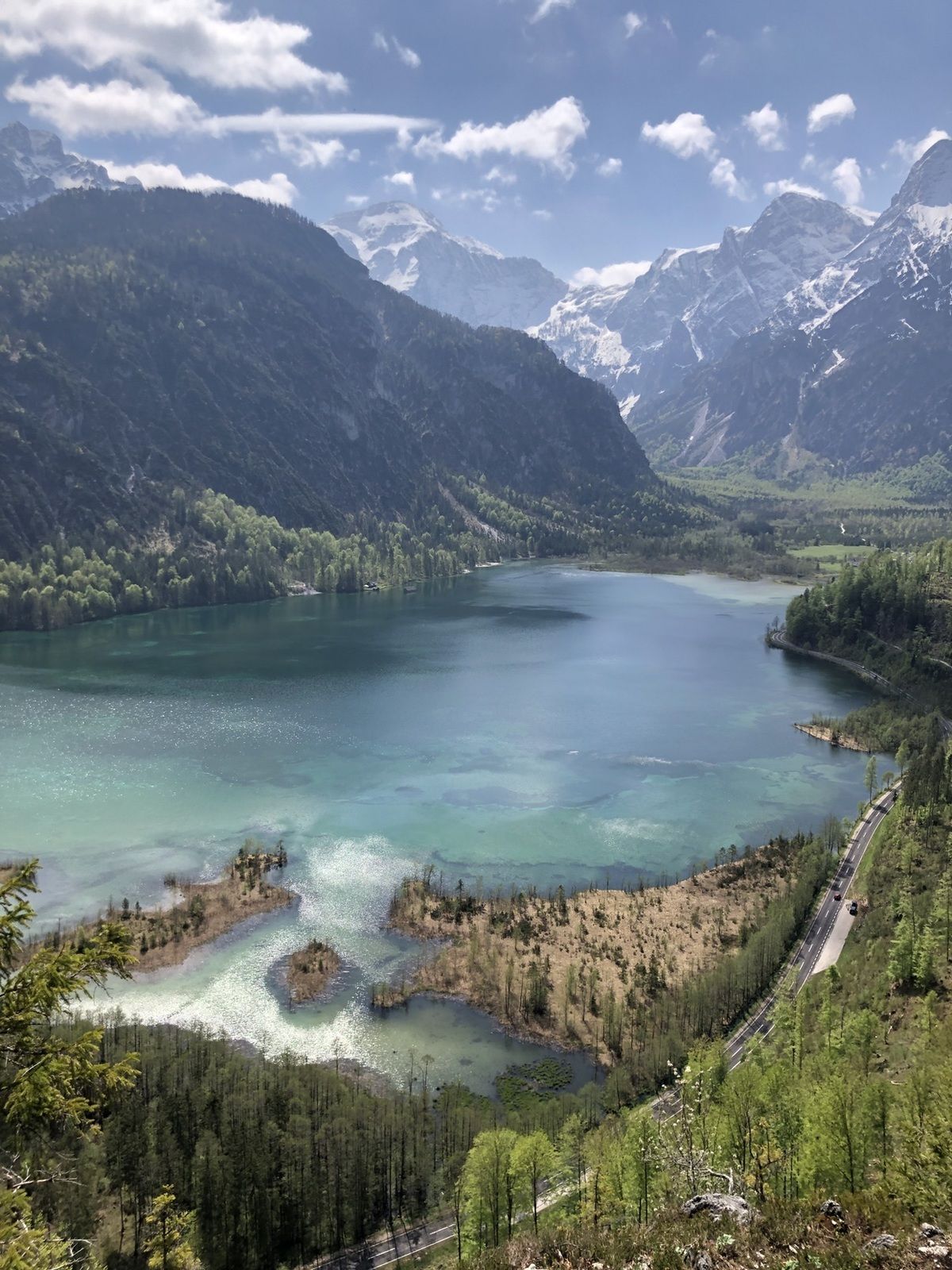
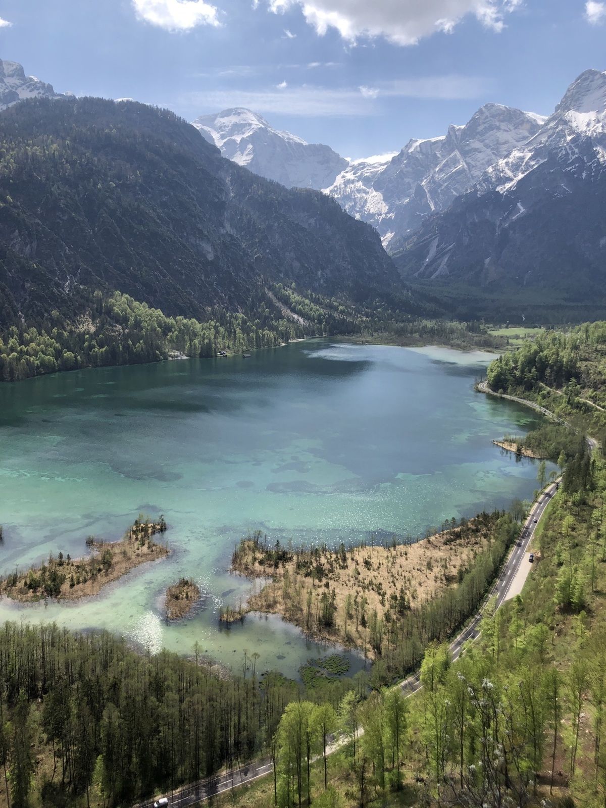
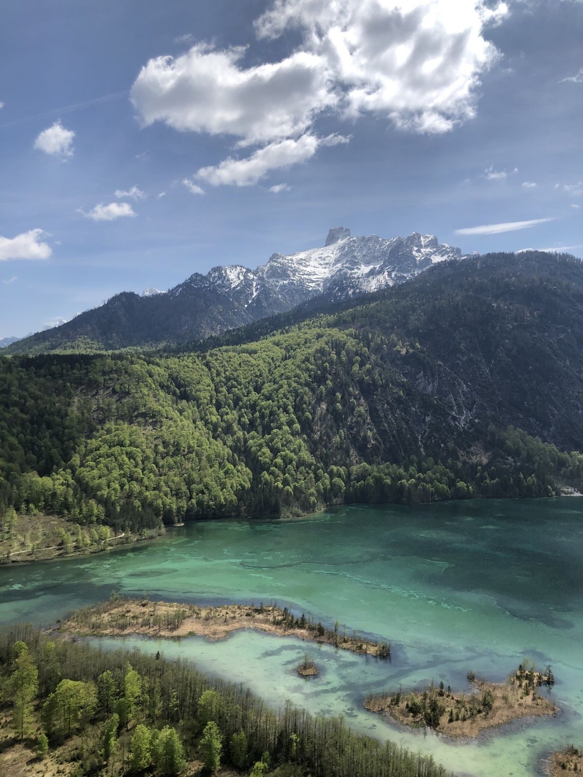
Ameisstein (776 m)1.8 km
- Highest point
- 768 m
- Rest/Retreat
-
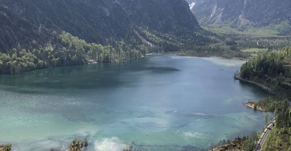
im Startbereich gibts das "Deutsche Haus" und das See-Gasthaus

- Source
- Florian Kollmann
GPS Downloads


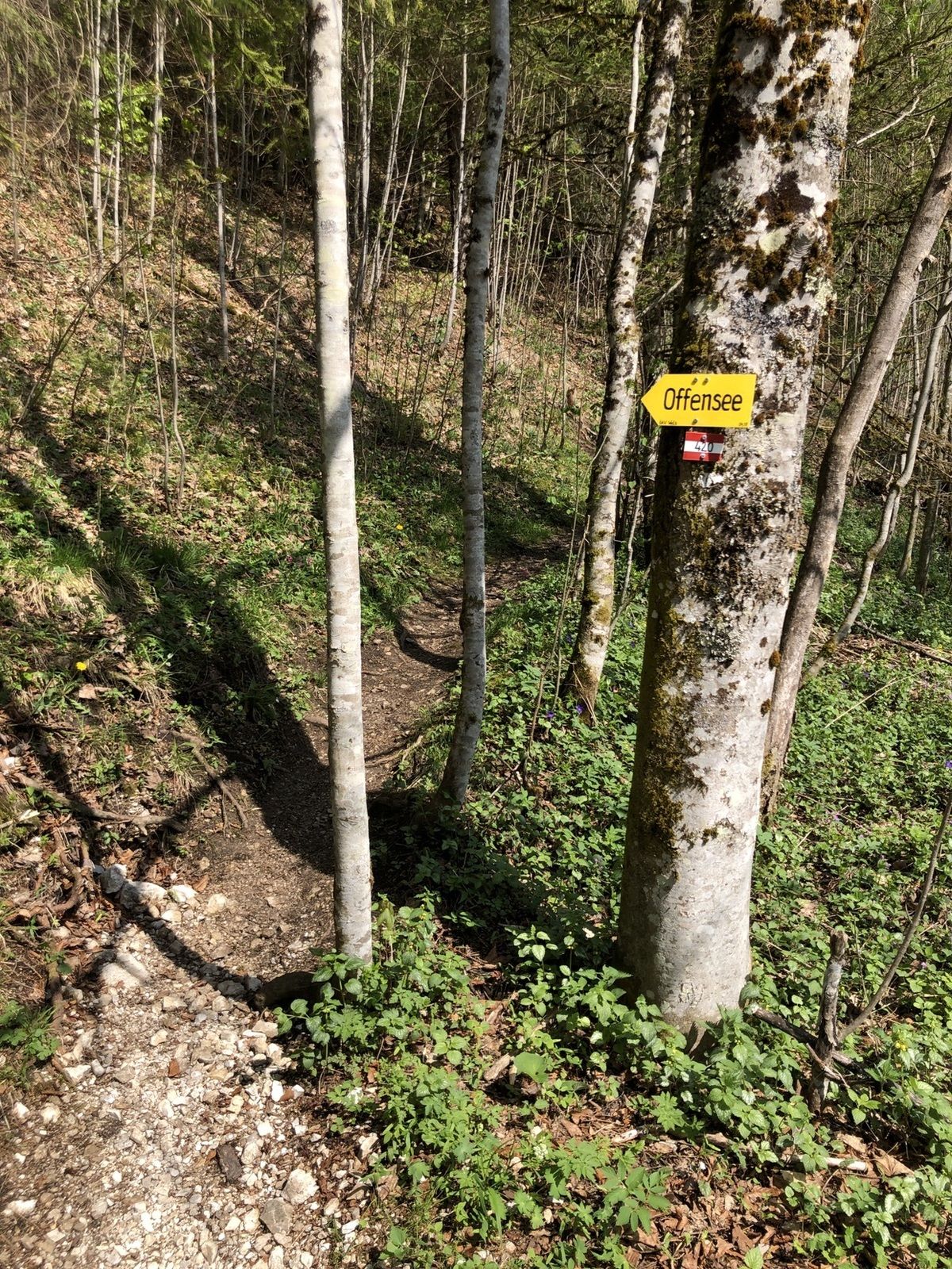
Trail conditions
Asphalt
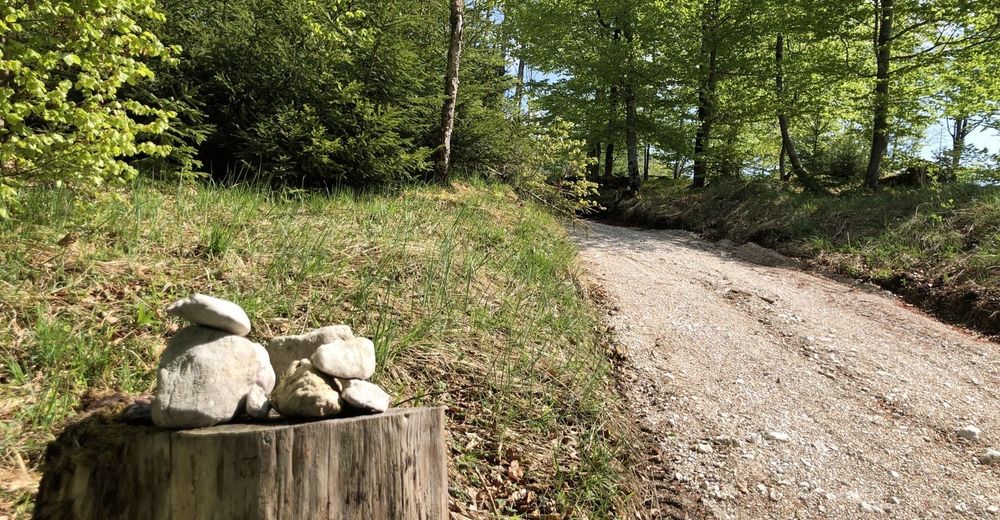
Gravel
(40)
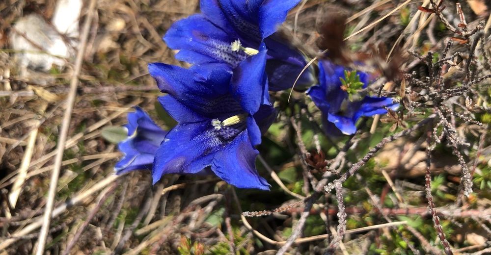
Meadow
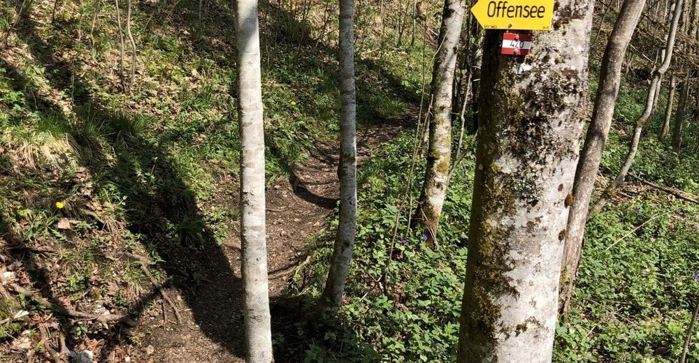
Forest
(60)
Rock
Exposed
Other tours in the regions
-
Ausseerland - Salzkammergut
3396
-
Traunsee-Almtal
911
-
Grünau im Almtal
288