


© Kungl


© Kungl

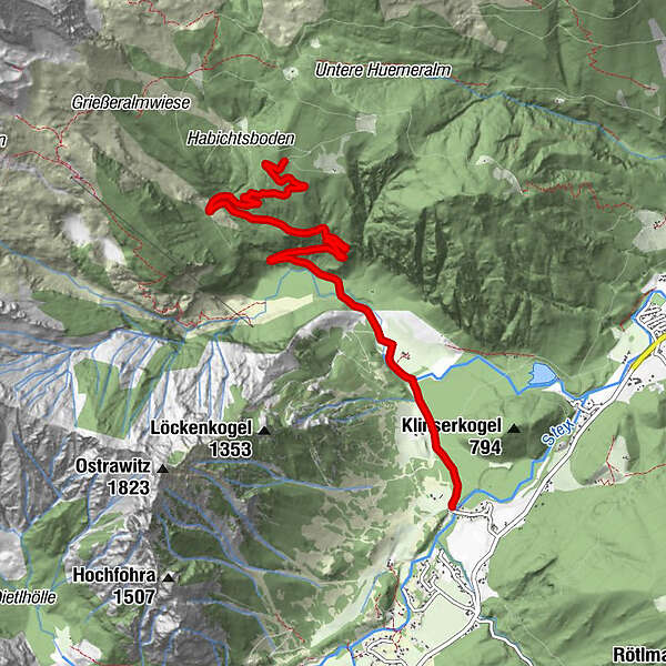
Tour data
6.86km
614
- 1,116m
482hm
02:00h
- Rating
-
- Starting point
-
Parkplatz.
- Route
-
Hinterberg
- Highest point
- 1,116 m

GPS Downloads


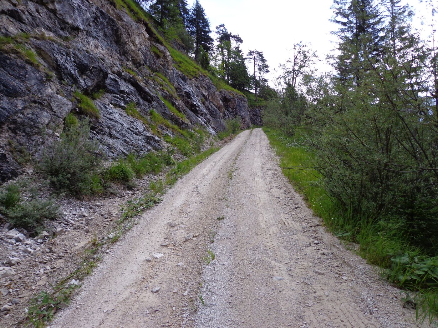
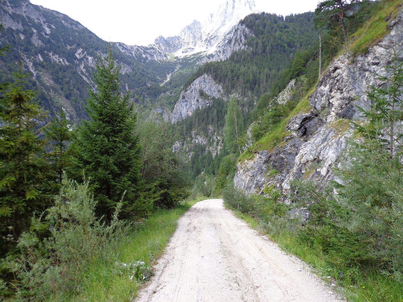
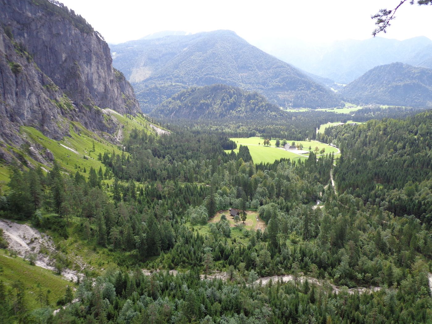
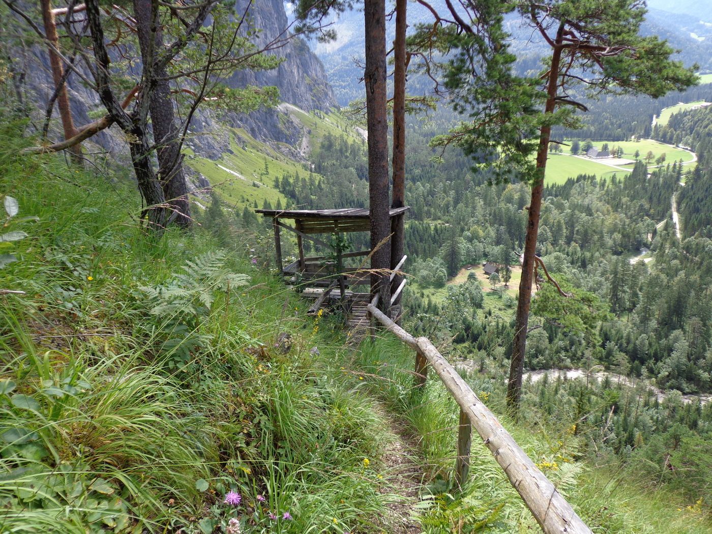
Trail conditions
Asphalt
Gravel
Meadow
Forest
Rock
Exposed
Other tours in the regions


