


- Brief description
-
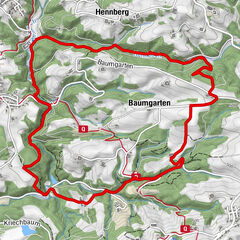
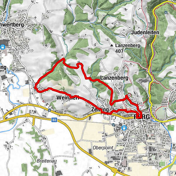
Hainbuchen - Aisthofen - Weinzierl - Zeitling - Perg
- Difficulty
-
easy
- Rating
-
- Starting point
-
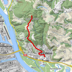
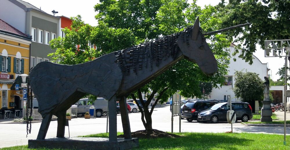
Perg
- Route
-
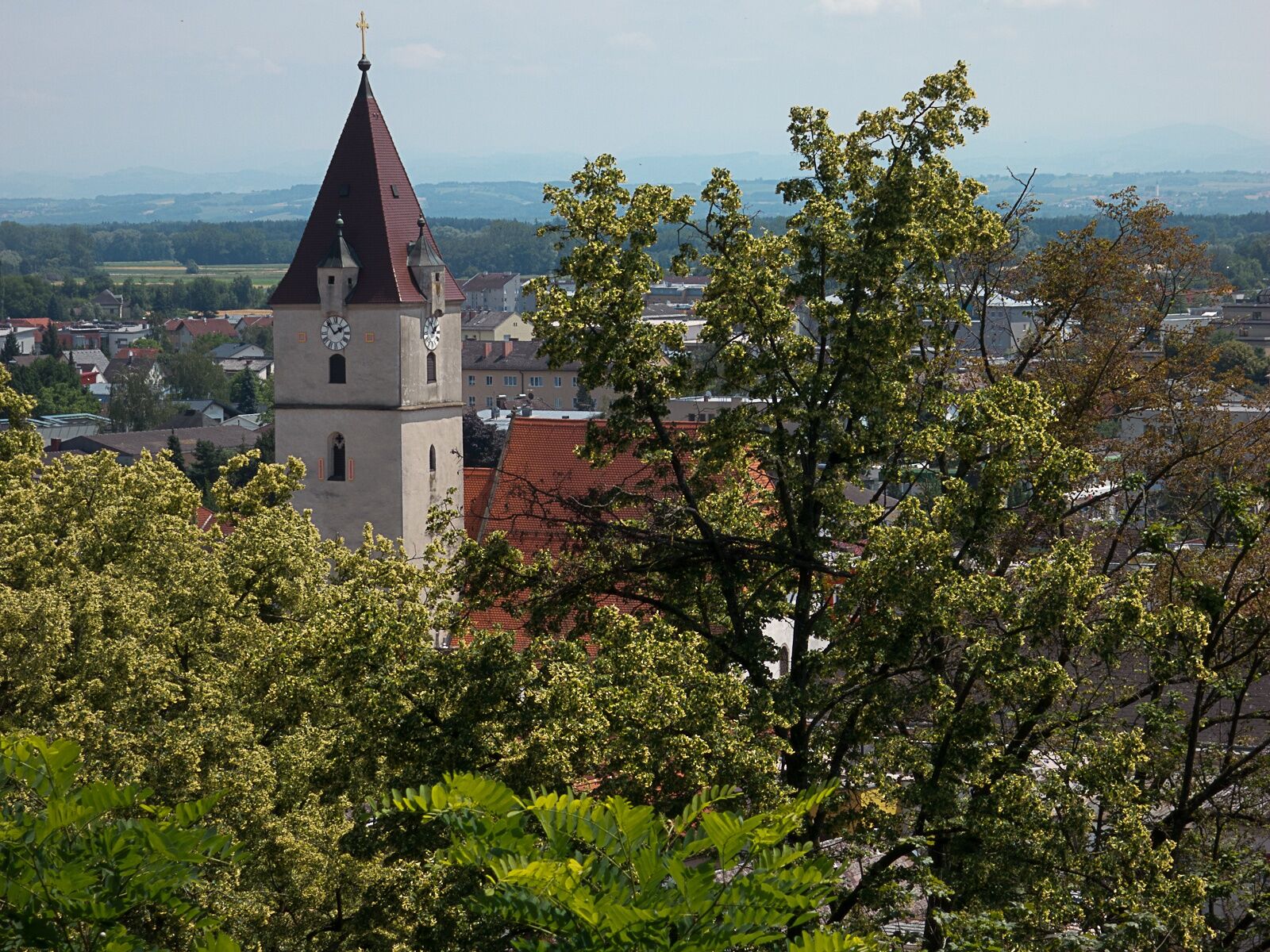
PergStadtpfarrkirche PergZeitling1.4 kmLanzenberg2.0 kmAisthofen5.1 kmWeinzierl6.4 kmHolzerkapelle6.7 kmZeitling7.4 kmKalvarienbergkirche8.5 kmPerg8.9 kmStadtpfarrkirche Perg9.0 km
- Best season
-
JanFebMarAprMayJunJulAugSepOctNovDec
- Description
-
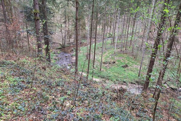
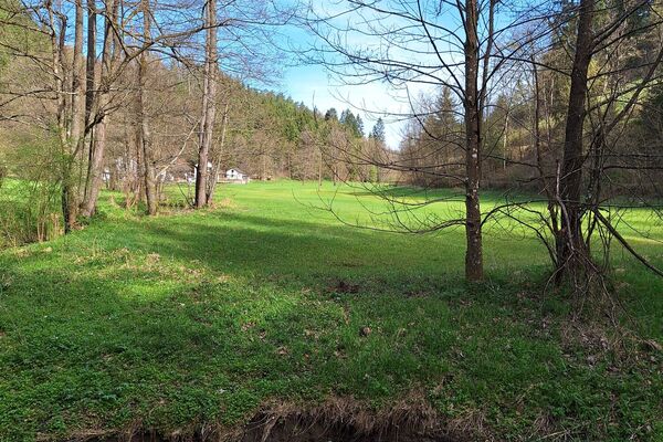
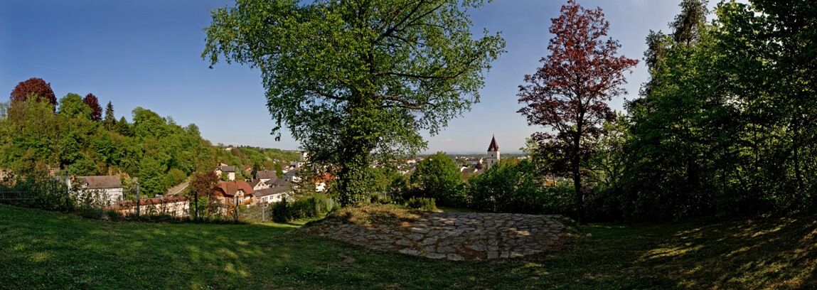
We start at Hauptplatz square and follow Lebinger Straße northwards. At the end of the road we turn into Mühlsteinstraße and follow the road uphill. We take a left turn at the end of the settlement and cross the road. On the other side we meet Donausteig Trail and follow it against the direction of the signposts. Having crossed a forest section we take a right turn into the road. Past two farm houses we get to Aisthofener Brook. We cross the brook and take a left turn. In ‘Aisthofen we take a left turn and hike along Donausteig Trail and past a planned Donausteig resting place (Weinzierl). After Weinzierl we do not take a left turn (like Donausteig Trail) but continue straight to Zeitling. After a brief section along Linzer Straße we take a left turn (Zeitlinger Berg) and meet Donausteig Trail again at the cemetery. We follow the trail to get back to our starting point.
- Highest point
- 332 m
- Endpoint
-
Hauptplatz Perg, Karbrunnen
- Height profile
-

- Additional information
- Directions
-
By car:
Coming from Passau/Salzburg/Graz/Linz:
A1 autobahn to “Enns-Steyr” exit, federal road no. 115, direction Mauthausen, federal road no. 3 to Perg
Coming from Vienna:
A1 autobahn to “St. Valentin” exit, federal road no. 1, towards Mauthausen, federal road no. 3 to PergBy train: from Vienna/Salzburg/Linz/Passau:
Westbahn train to St. Valentin, change for Perg - Parking
-
In the town area (short-term parking zones), long-term parking spaces are a four-minute walk from the centre;


- Author
-
The tour Perg: Kugelmanderlweg Trail is used by outdooractive.com provided.


General info
-
Mühlviertel
1781
-
Moststraße
754
-
Perg
185