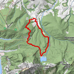
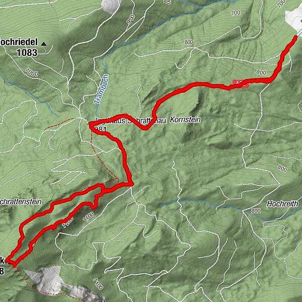
Tour data
9.43km
754
- 1,400m
654hm
657hm
02:48h
- Brief description
-
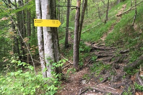
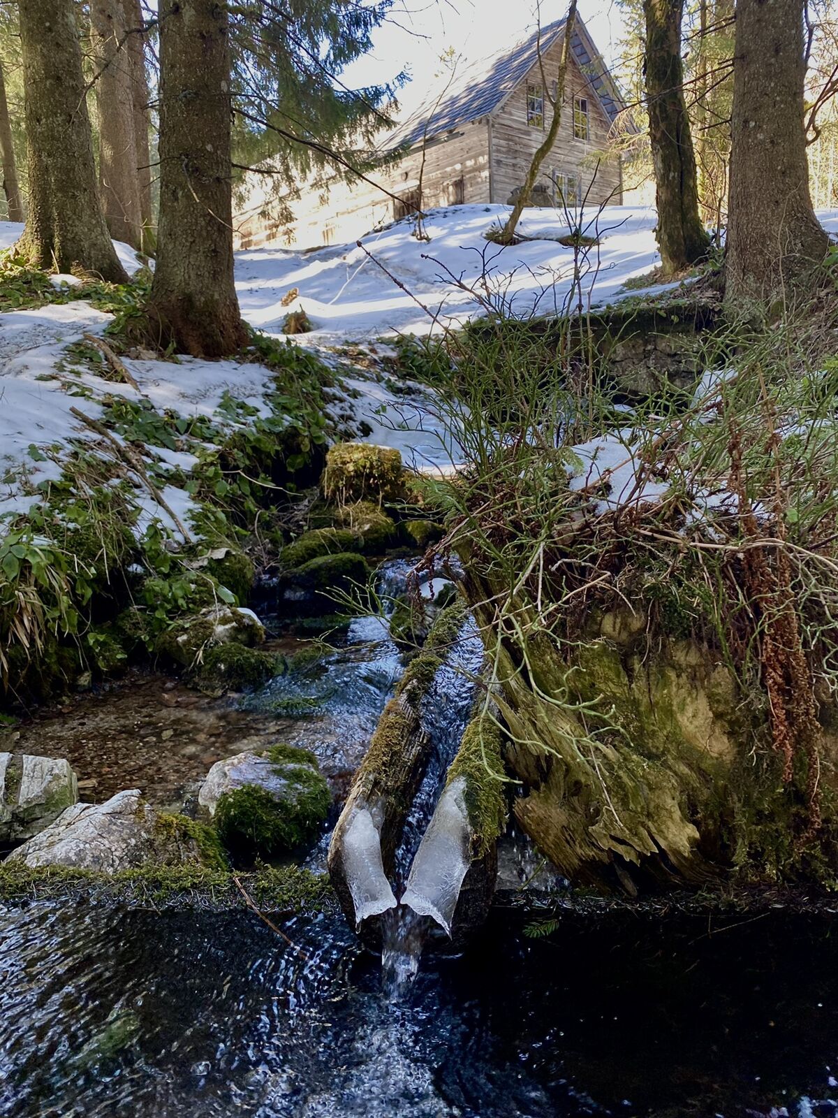
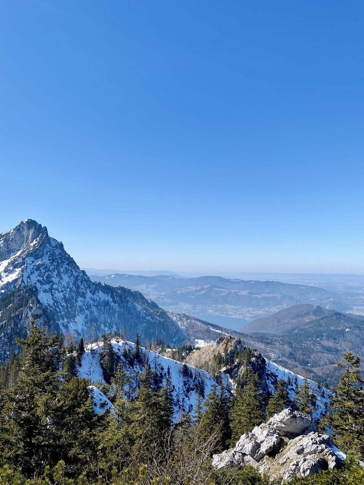
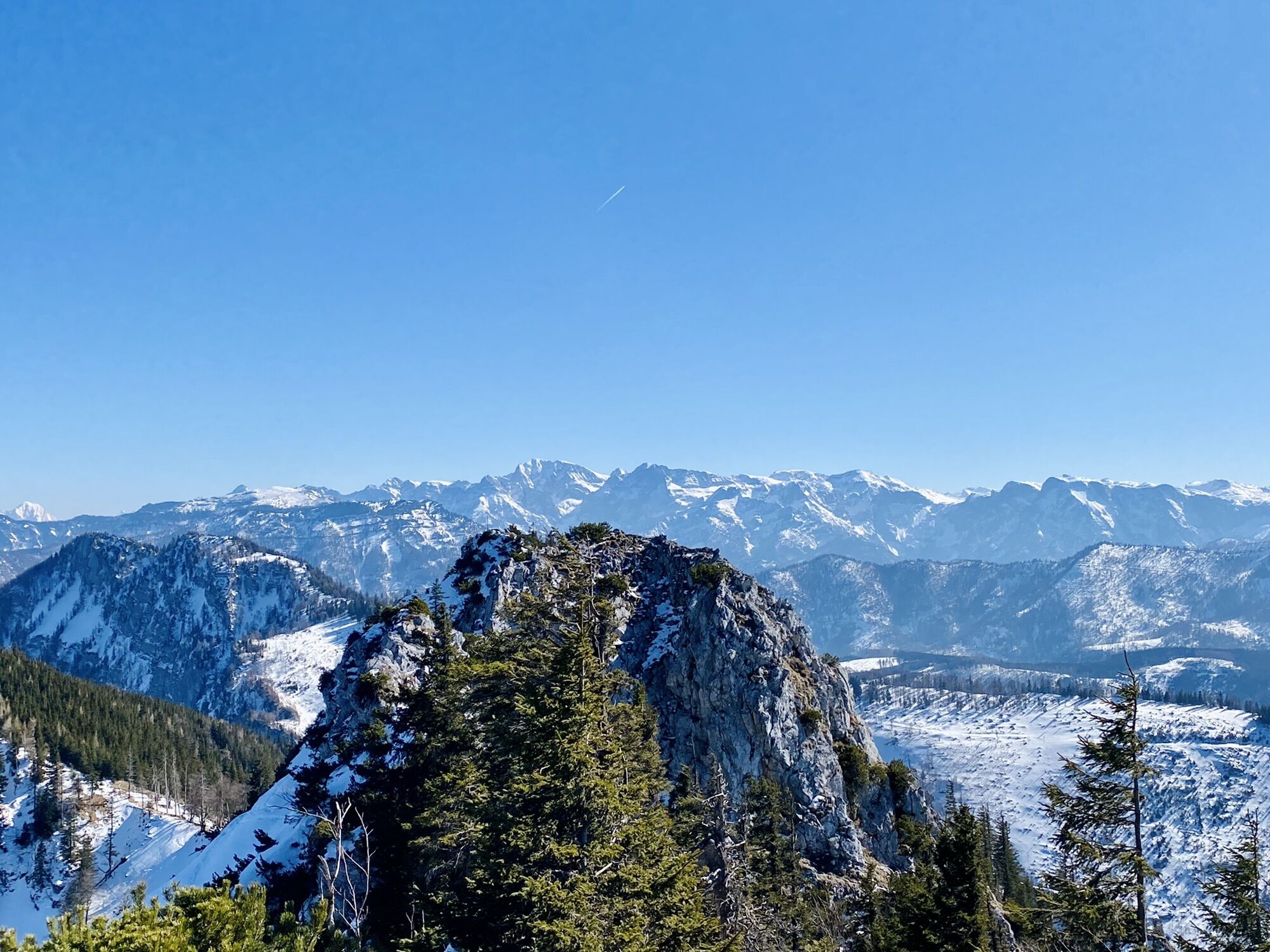
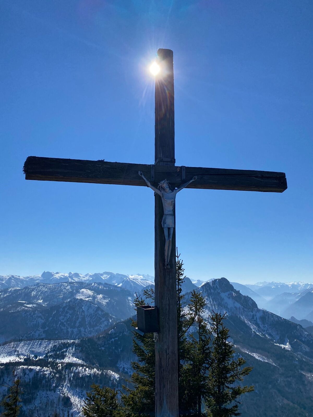
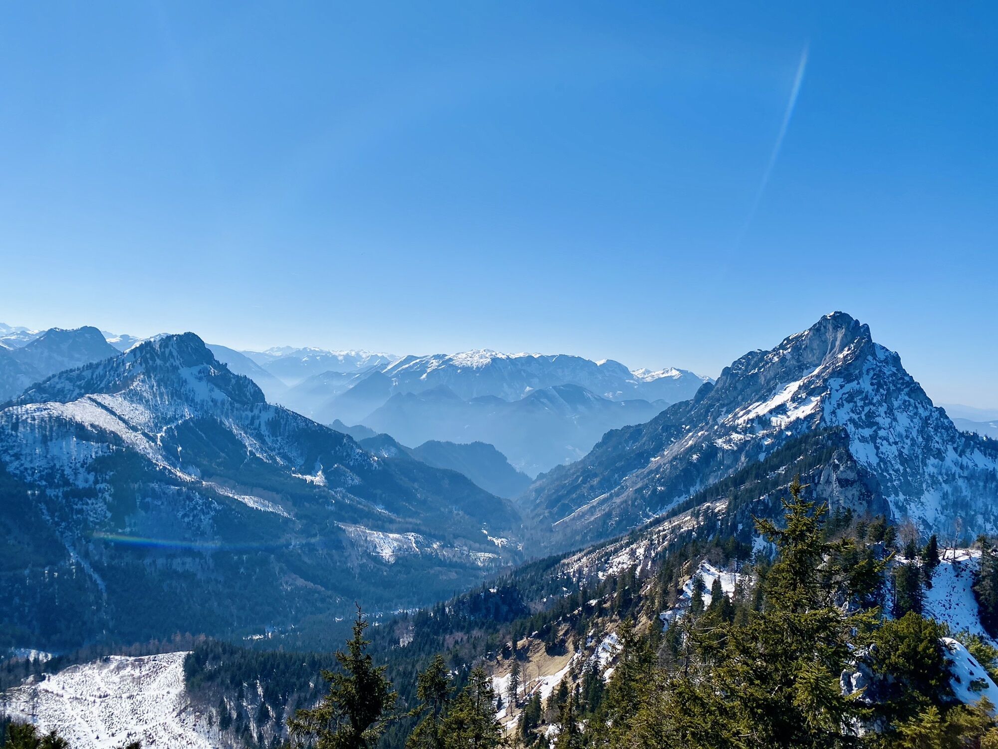
Steineck Scharnstein
- Difficulty
-
medium
- Rating
-
- Route
-
Steineck Mittelgipfel4.8 kmSteineck (1,418 m)4.9 km
- Best season
-
JanFebMarAprMayJunJulAugSepOctNovDec
- Highest point
- 1,400 m

GPS Downloads


Other tours in the regions
-
Hausruckviertel
1535
-
Traunsee-Almtal
911
-
St. Konrad
255