
- Brief description
-
Kleines Kösslbachtal Valley- 4/4- Blick vantage point - Waldkirchen – Bräukapelle Chapel - Wesenufer
- Difficulty
-
medium
- Rating
-
- Starting point
-
Waldkirchen / Wesenufer
- Route
-
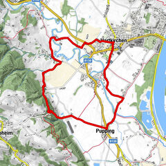
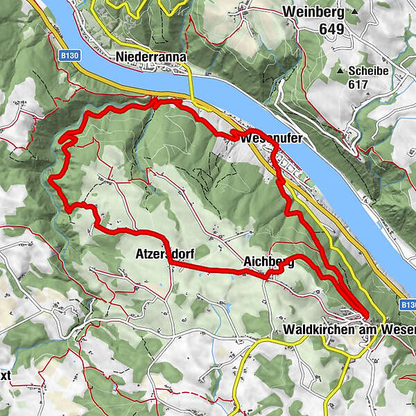
SchiffsanlegestelleZum Schiffmeister0.0 kmWesenufer0.0 kmKager0.9 kmNiederranna2.2 kmSchickedt5.8 kmIm Eck6.0 kmPanoramaaussicht - Vierviertelblick (592 m)6.5 kmAtzersdorf6.9 kmWirtin z Atzersdorf6.9 kmAichberg7.9 kmWaldkirchen am Wesen (550 m)9.9 kmBräukapelle11.7 kmPfarrkirche Wesenufer12.7 kmWesenufer12.8 kmSchiffsanlegestelle12.8 kmZum Schiffmeister12.8 km
- Best season
-
JanFebMarAprMayJunJulAugSepOctNovDec
- Description
-
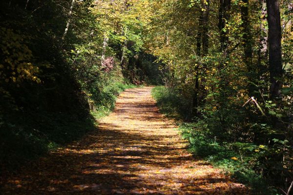
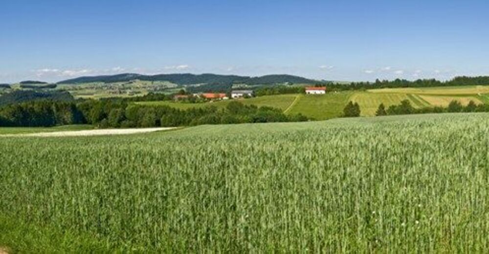
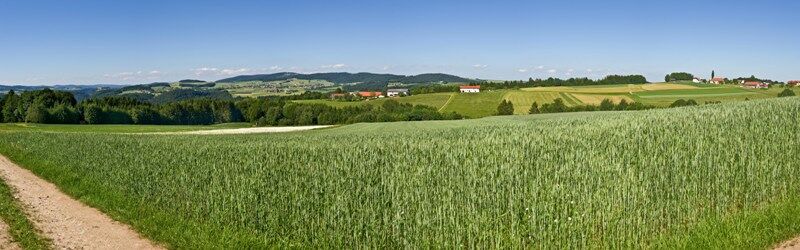
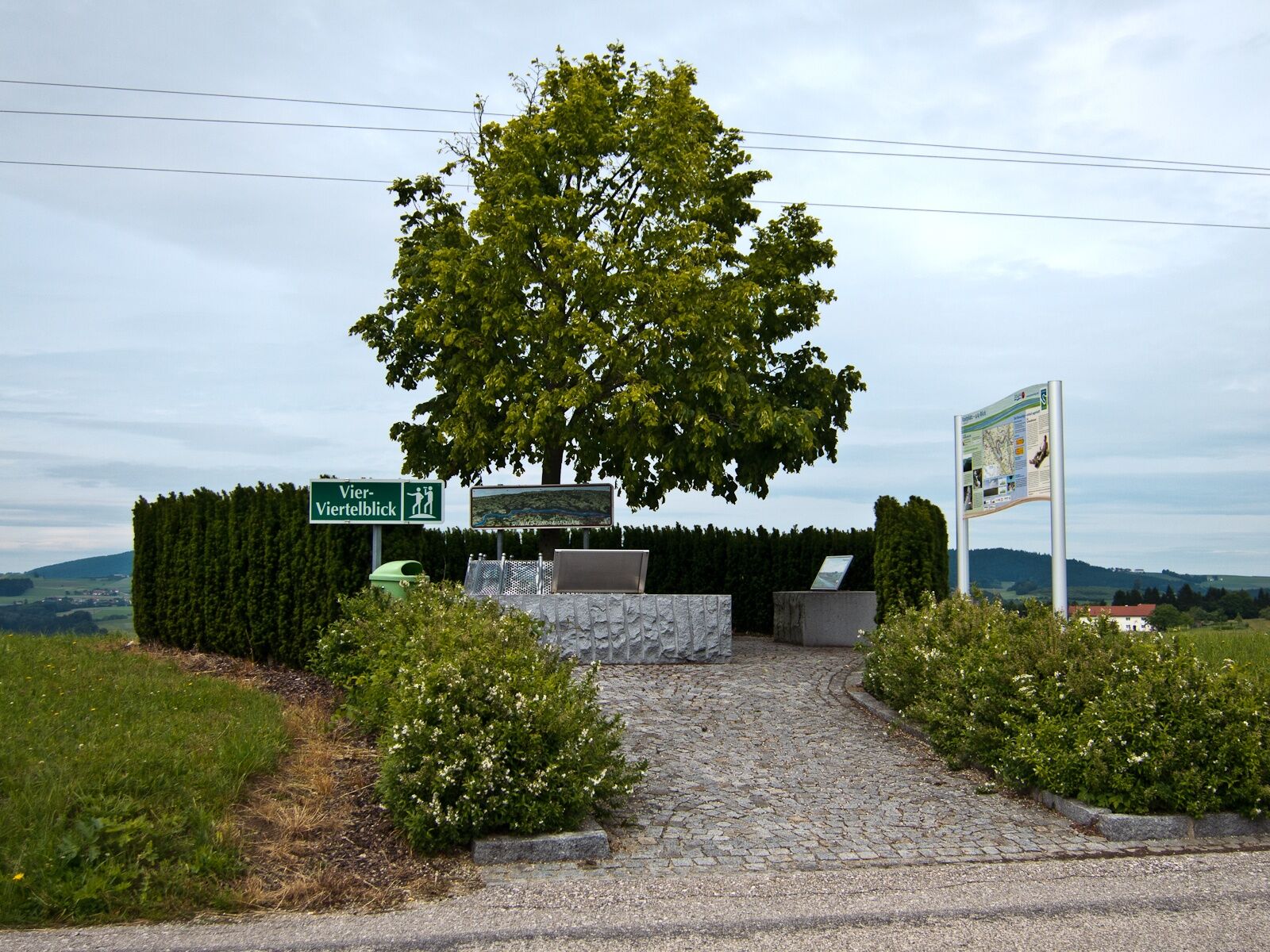
Starting point is the boat landing stage in Wesenufer. The trail follows the road north-westwards towards “Kagerer Jagastein” until the underpass of the federal road. Having passed it the trail continues to the left. After the last farm house the asphalt trail merges into a country lane, some sections of which lead through the forest, that eventually leads into Kleine Kößlbachtal Valley. The valley has been put under a protection order in 1996 and has a special importance in the natural area between Passau and Schlögen. The brook has created a V-shaped erosion valley that features steep slopes, rocky ridges and natural forests. On the trails of the area one can experience this special area. In the valley the trail continues as forestry trail and leads uphill. Again and again one can enjoy nice views of the valley. After a left-hand bend the trail branches off to the right and climbs steeply uphill. From now on the area is completely unspoilt. After some time one gets to a section with stone runs. They have emerged from underground weathering of primary rocks and have resurfaced. After this impressive section the trail leads out of the forest and on a country lane one gets to a farm. Now one follows the road towards Atzersdorf and passes 4/4-Blick vantage point that invites to enjoy a break. From the vantage point (535m of altitude) one can see the four sections of the province of Upper Austria. The view covers the green hills and colourful meadows down in the Danube Valley. In Atzersdorf you can enjoy a break stop. From Atzersdorf the trail follows the road to Aichberg. There you keep to the left and on a country lane you get down to the forest. The section through the forest to Waldkirchen is relatively level. Having arrived there it branches off sharply to the left before one gets into the village centre. There you follow the continiously sloping Wesener district road down to the forest. You pass Bräukapelle Chapel, a popular pilgrimage place. The chapel's spring is said to have healing properties. Then you get back to the road and eventually Wesenufer.
- Highest point
- 594 m
- Endpoint
-
in Wesenufer beim Startplatz an der Anlegestelle
- Height profile
-

- Tips
-
Kleines Kößlbachtal Nature Reserve
- Additional information
- Parking
-
Public car parks of the market municipality of Wesenufer

- Author
-
The tour Waldkirchen: 4/4-Blick Loop Trail is used by outdooractive.com provided.


General info
-
Innviertel
797
-
Donau Oberösterreich
779
-
Waldkirchen am Wesen
199