


- Brief description
-
Wöginger - Dürnberg/Loislbauer - Niederottensheim - Ottensheim
- Difficulty
-
easy
- Rating
-
- Starting point
-
Ottensheim
- Route
-
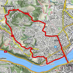
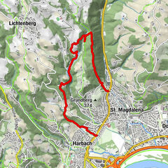
Ottensheimer DrahtseilbrückeOttensheim0.1 kmGasthof zur Post0.2 kmNiederottensheim1.8 kmDürnberg4.4 kmGuckerstein4.7 kmGasthaus Dürnberg6.8 kmOttensheimer Drahtseilbrücke7.8 kmDonaubus7.9 kmOttensheim8.0 km
- Best season
-
JanFebMarAprMayJunJulAugSepOctNovDec
- Description
-
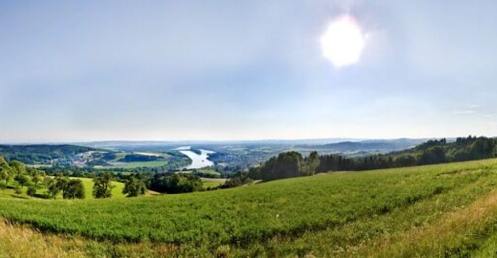
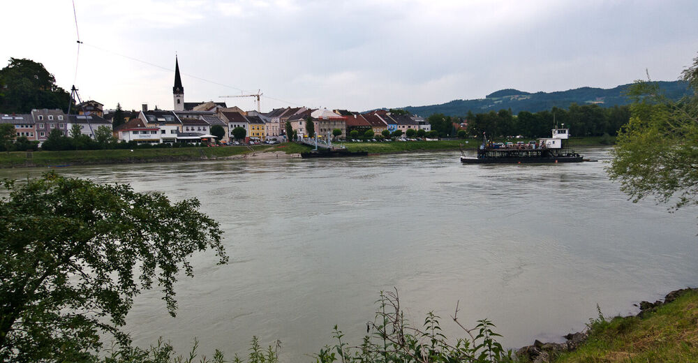
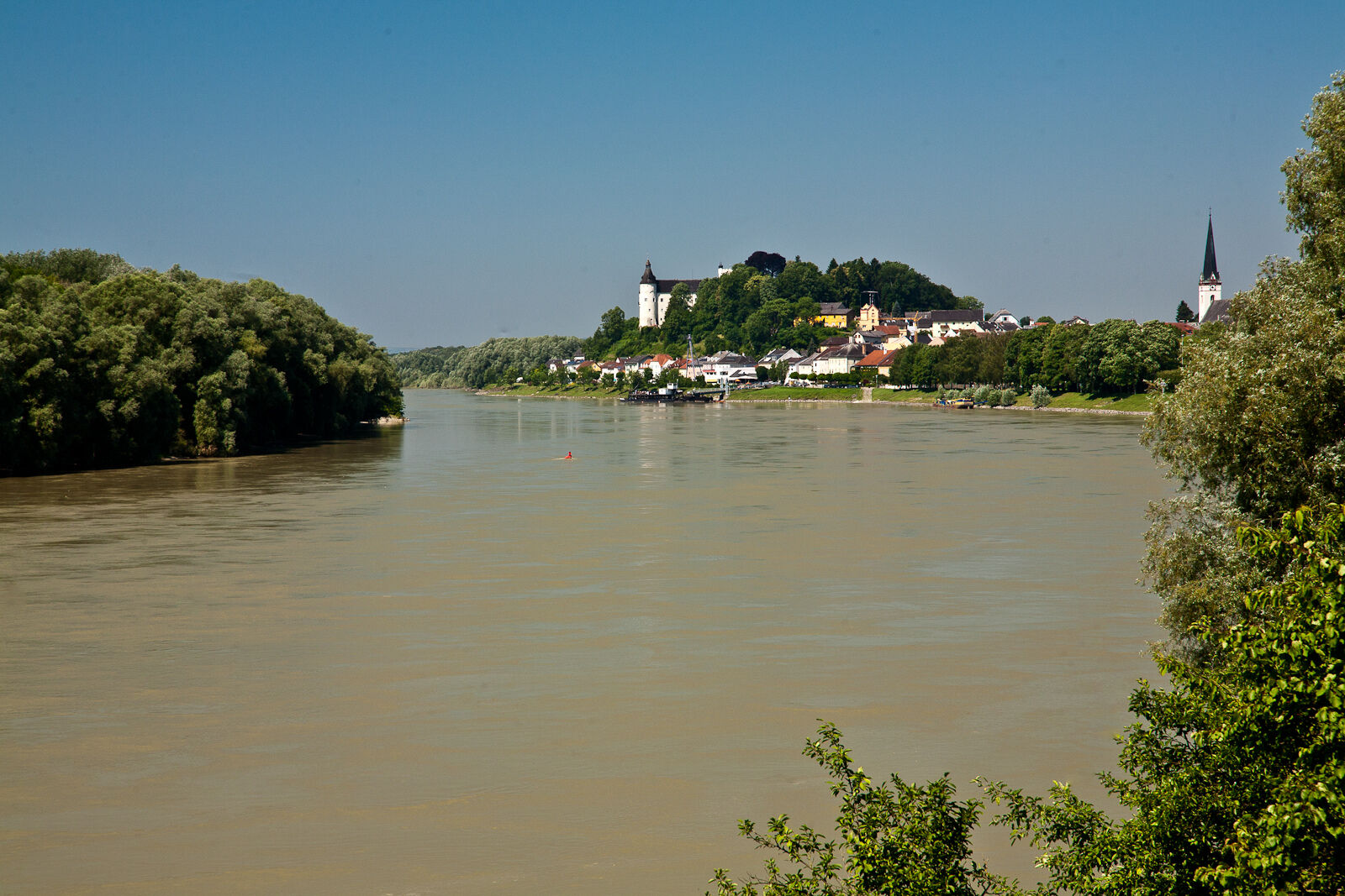
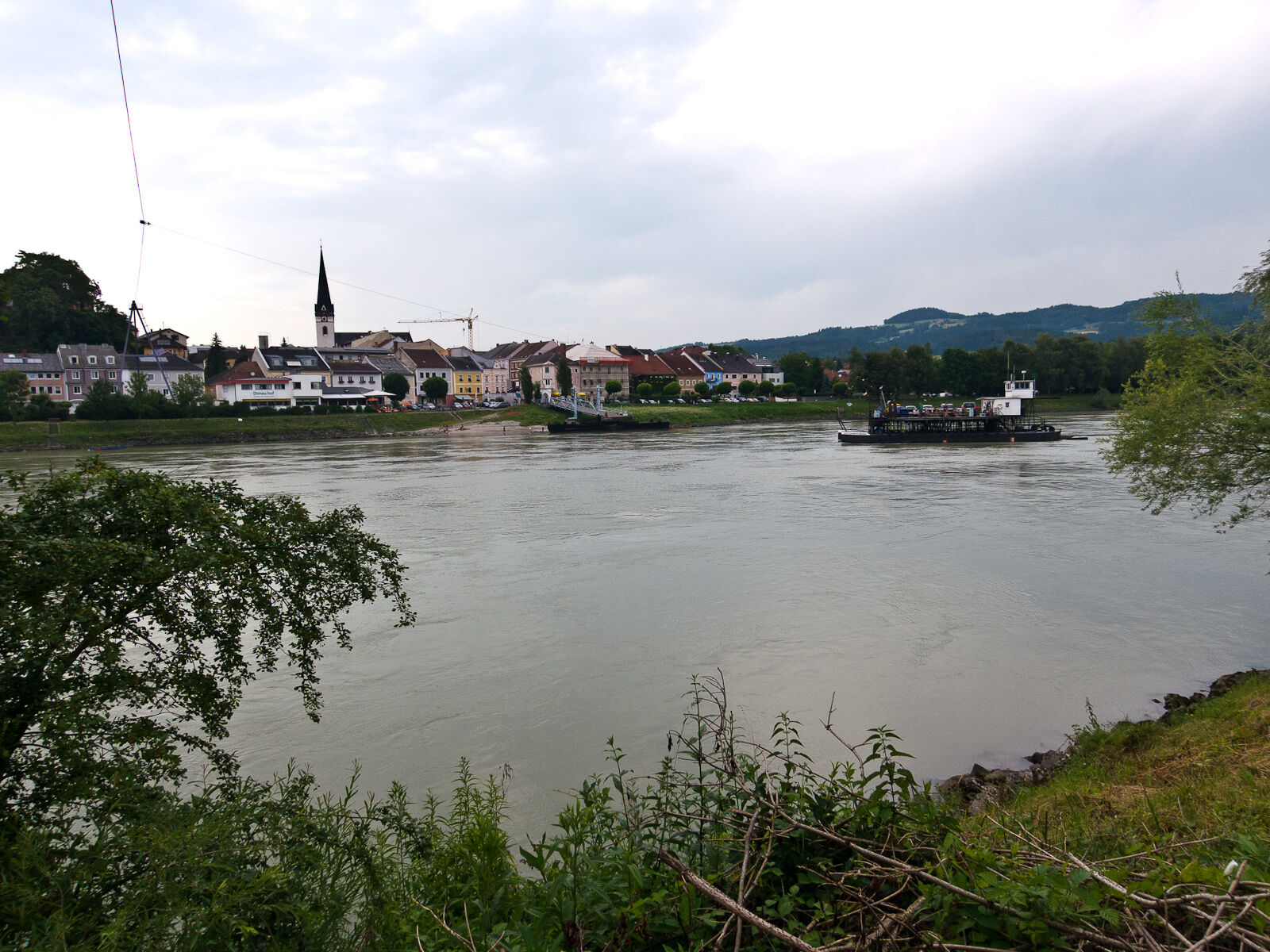
Starting place is the information point at the Ottensheim Danube ferry (Donaulände). Follow the signposts downstream to the Dürnberg boat landing place; continue then uphill in north-eastern direction to Kogleraugipfel summit. The route leads through the gentle hills of Dürnberg and offers breath-taking panoramic views of Danube Valley. After approximately two hours you get back to Marktplatz square with its numerous beer gardens.
- Highest point
- 480 m
- Endpoint
-
Infopunkt bei der Donaufähre Ottensheim
- Height profile
-

- Equipment
-
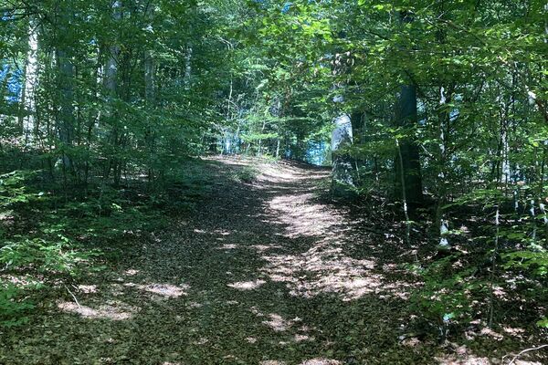
Hiking equipment
- Tips
-
Tour of the oldest market municipality of Mühlviertel district - Ottensheim;
Ottensheim beer from the “Thor-Bräu” brewery at Marktplatz square
- Additional information
- Directions
-
By car: B127 Donauuferstraße (10km west of Linz) to Ottensheim – across Marktplatz square of Ottensheim to the Danube ferry (starting place)
By train: Mühlkreisbahn train to Ottensheim train station or Dürnberg www.oebb.at
Cheap bus connections www.postbus.atBy boat: boat liners from Passau/Linz www.donauschiffahrt.de
- Public transportation
- Parking
-
Short-term parking zone at Donaulände; car parks at the Donauhalle/Ottensheim Stadium


- Author
-
The tour Ottensheim: Danube Panorama Trail is used by outdooractive.com provided.


General info
-
Mühlviertel
1781
-
Linz & Region Linz
842
-
Ottensheim
300