© WGD Donau Oberösterreich Tourismus GmbH/Erber - Erber
© WGD Donau Oberösterreich Tourismus GmbH/Weissenbrunner - Weissenbrunner

© WGD Donau Oberösterreich Tourismus GmbH/Erber - Erber

- Brief description
-
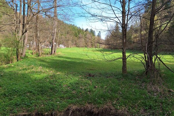
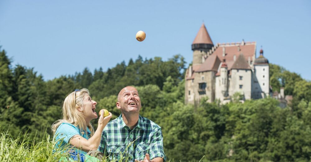
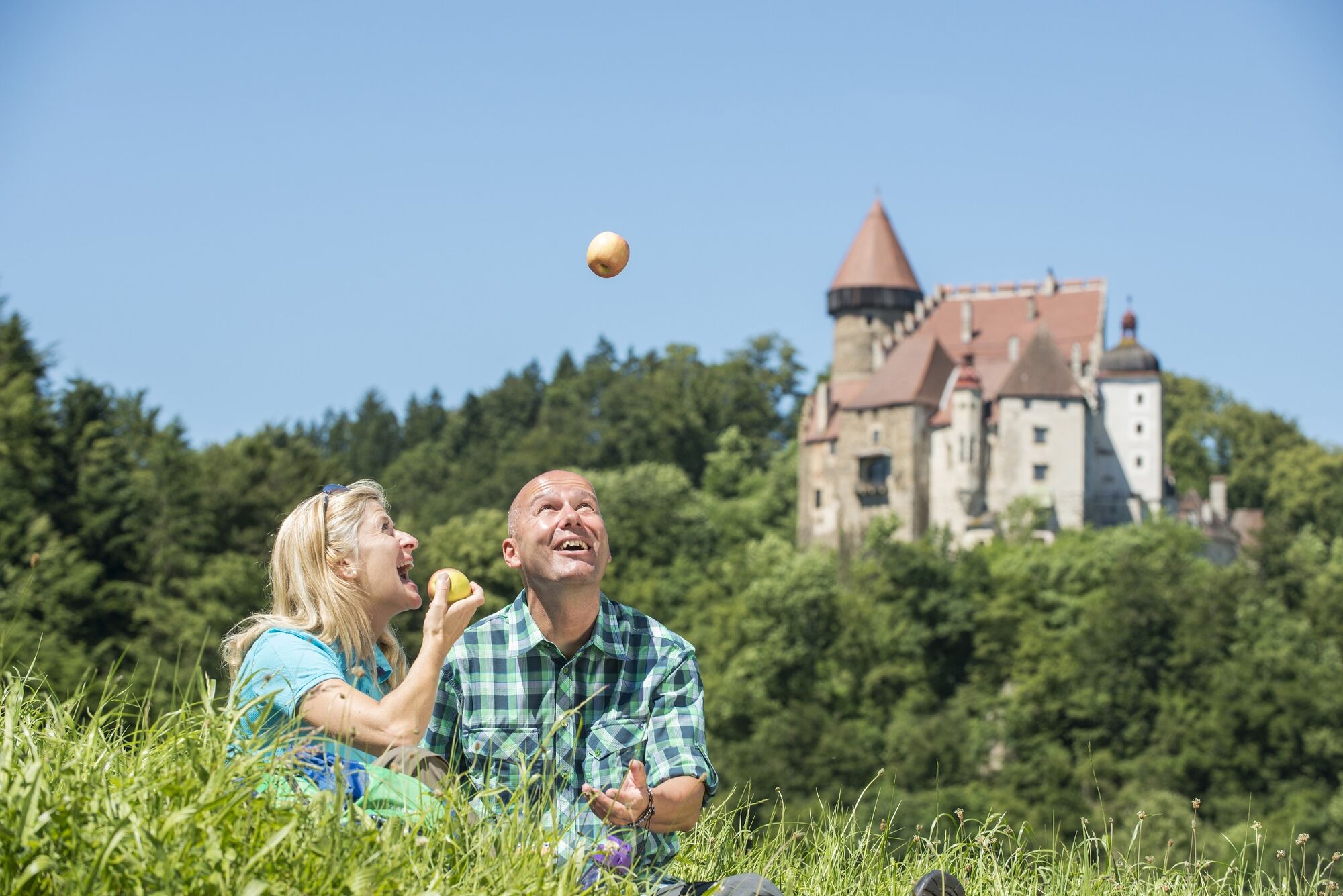
Loop hike through forests and across meadows.
- Difficulty
-
easy
- Rating
-
- Starting point
-
Klam
- Route
-
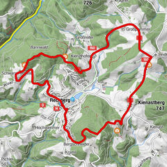
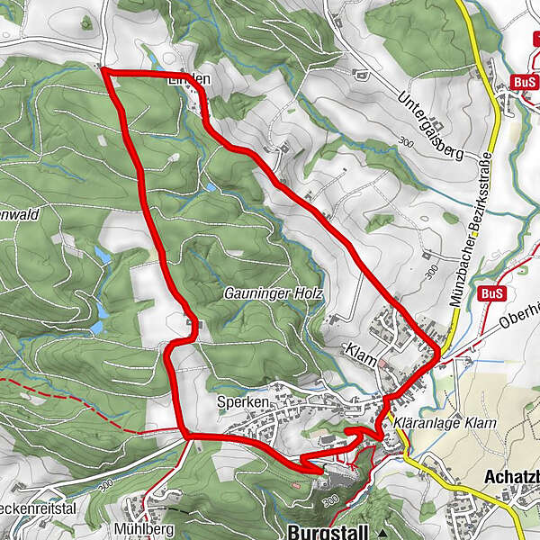
Gasthaus Fraundorfer0.1 kmPfarrkirche Klam0.1 kmKlam0.2 kmLinden2.1 kmGauning3.9 kmSperken4.8 kmBurgschenke5.5 kmKlam6.0 km
- Best season
-
JanFebMarAprMayJunJulAugSepOctNovDec
- Description
-
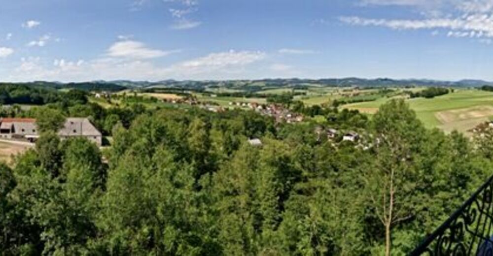
We start at the municipal office in Klam, No. 43, 4352 Klam and hike north-eastwards. After some 300m we take a left turn and walk along side roads to Linden. We keep the direction until the road takes a left turn after the last farm house. We take a left turn into the forest at the next crossing and after some 1.5km we pass a farm house and continue on the road southwards. At the next crossing we meet Donausteig Trail and follow it back to Klam.
- Highest point
- 380 m
- Endpoint
-
Gemeindeamt Klam
- Height profile
-

- Additional information
- Directions
-
Coming from Linz: on the B3 to Baumgartenberg, take then a left turn towards Klam.
Coming from Vienna: on the A1 autobahn to Ybbs, continue on the B3 to Grein, take a right turn towards Klam
- Parking
-
Public car park opposite of the municipal office


- Author
-
The tour Klam: Klam Loop Trail is used by outdooractive.com provided.
GPS Downloads


General info
Refreshment stop
Other tours in the regions
-
Mühlviertel
1785
-
Strudengau
799
-
Klam
155