© Marktgemeinde Schwertberg

© Marktgemeinde Schwertberg

© Marktgemeinde Schwertberg

© Marktgemeinde Schwertberg

© Marktgemeinde Schwertberg

© Marktgemeinde Schwertberg

© Marktgemeinde Schwertberg

© Marktgemeinde Schwertberg

- Brief description
-
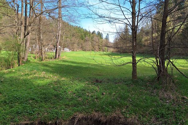
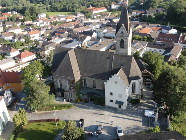
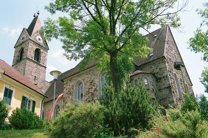
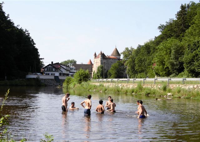
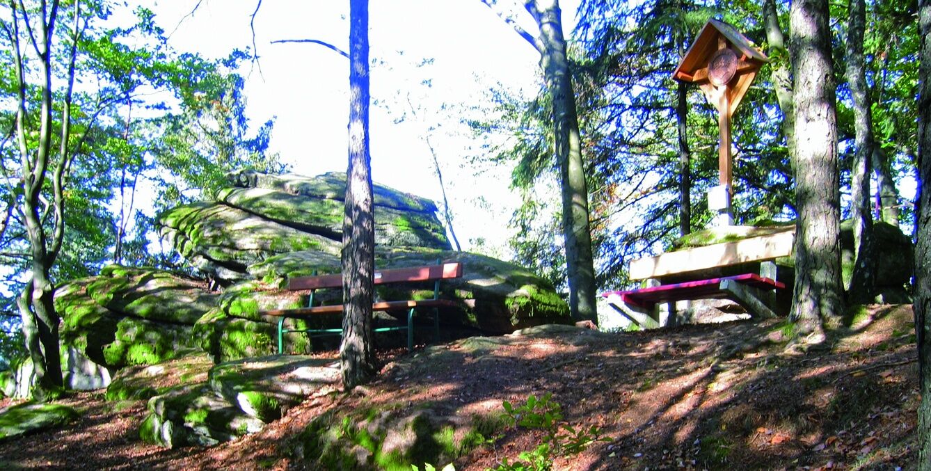
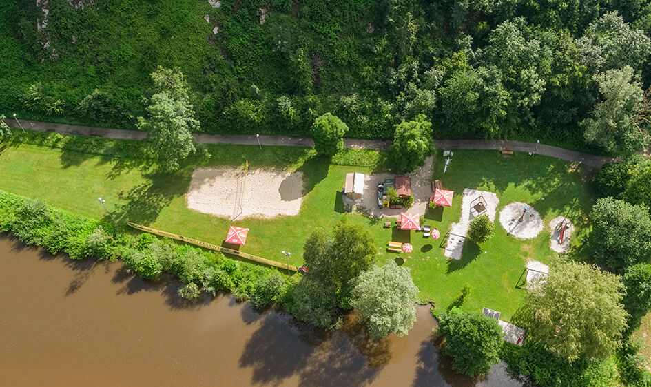
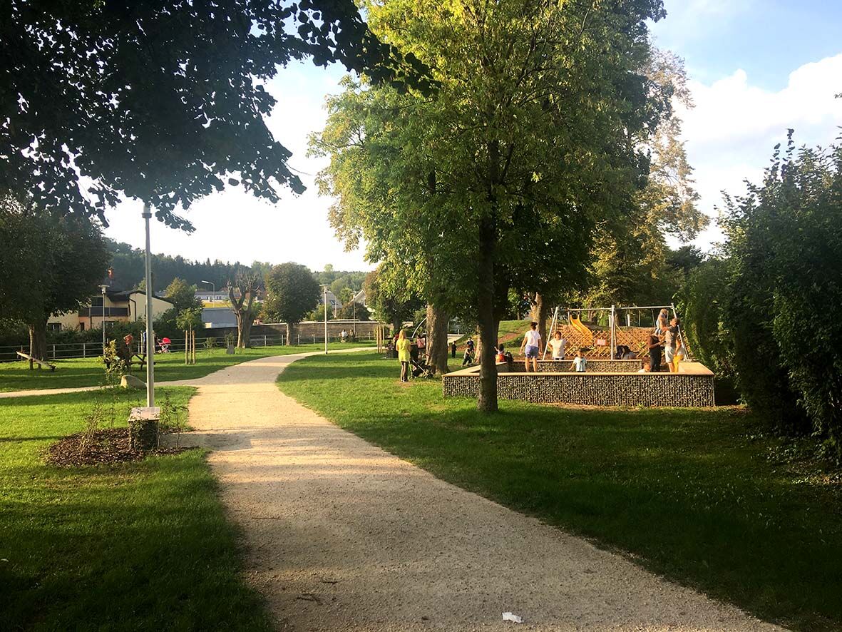
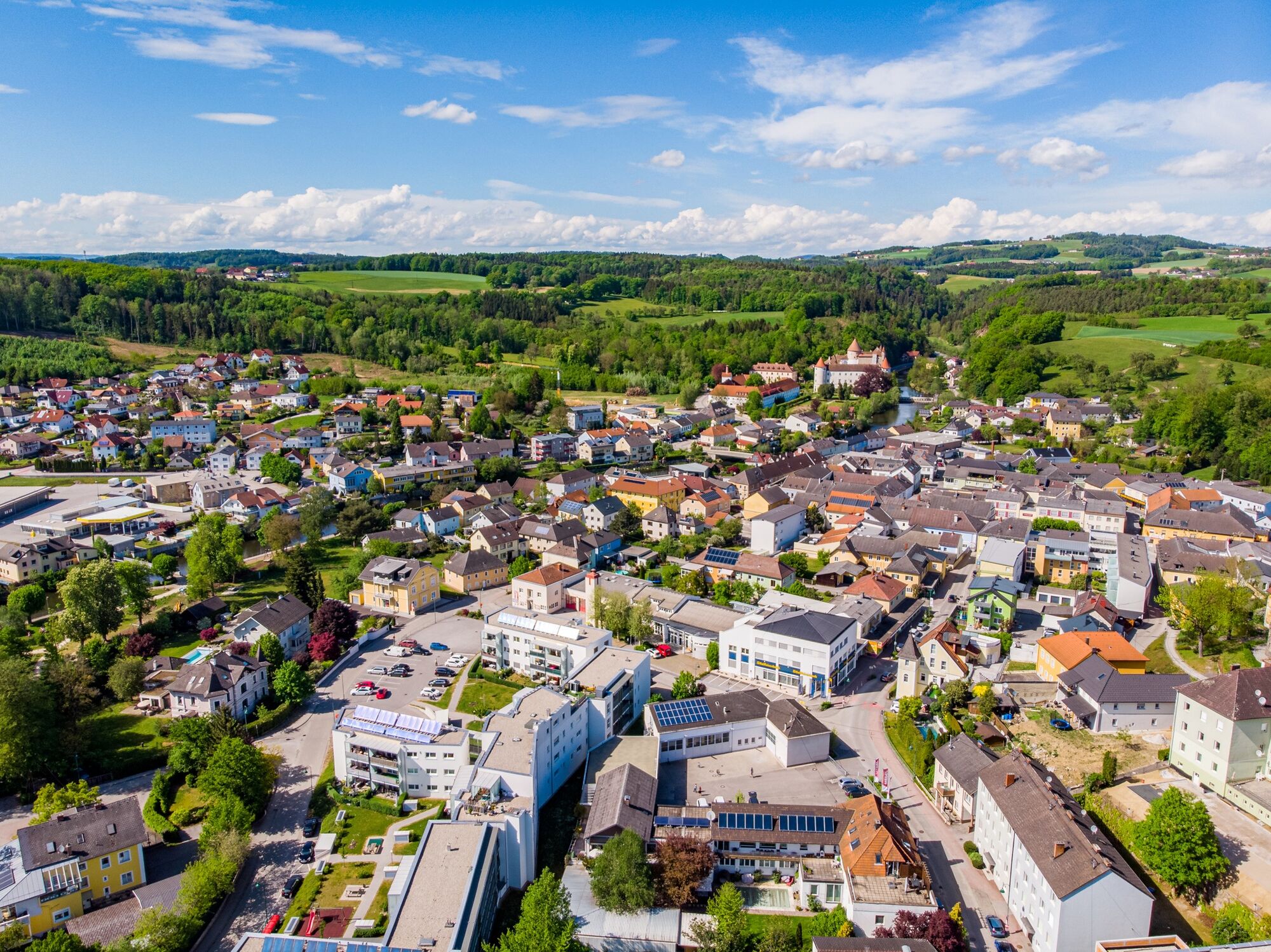
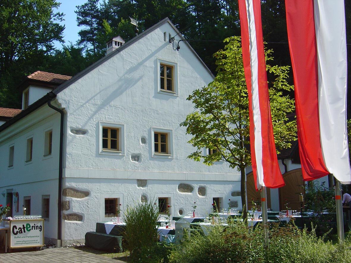
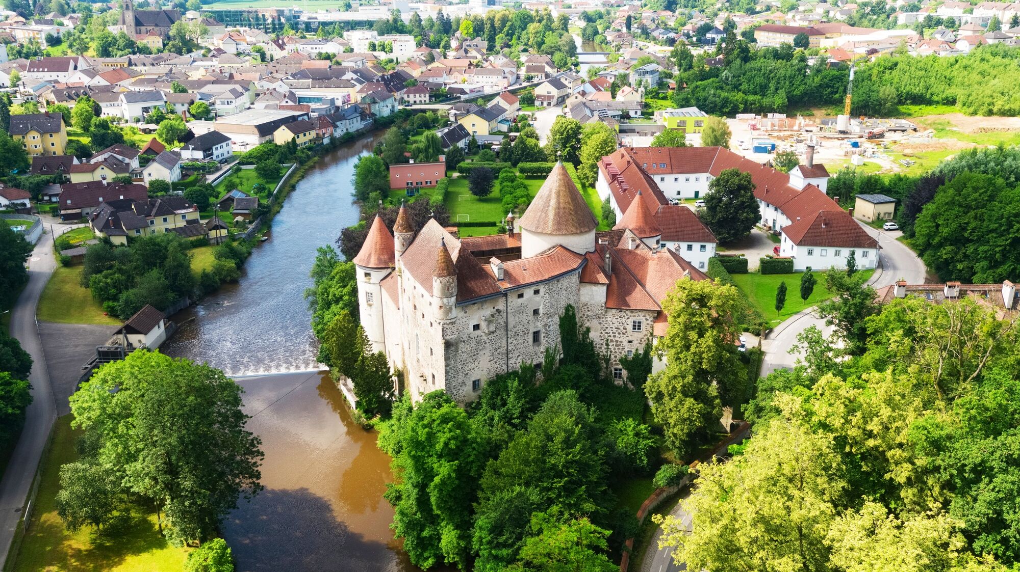
Wildromantisches Josefstal - Freilichtbühne Aiser - Schloss Schwertberg - Freizeitwiese an der Aist
- Difficulty
-
easy
- Rating
-
- Route
-
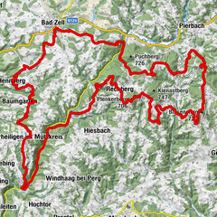
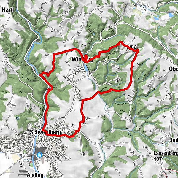
Windegg2.7 kmWeltstein (478 m)4.2 kmLina4.8 kmWinden7.8 kmAiser9.3 kmGasthaus und Pizzeria Venezia9.8 kmMühlviertler Stubn, Fam. Geirhofer9.9 kmSchwertberg (265 m)9.9 kmFreizeitwiese10.8 km
- Best season
-
JanFebMarAprMayJunJulAugSepOctNovDec
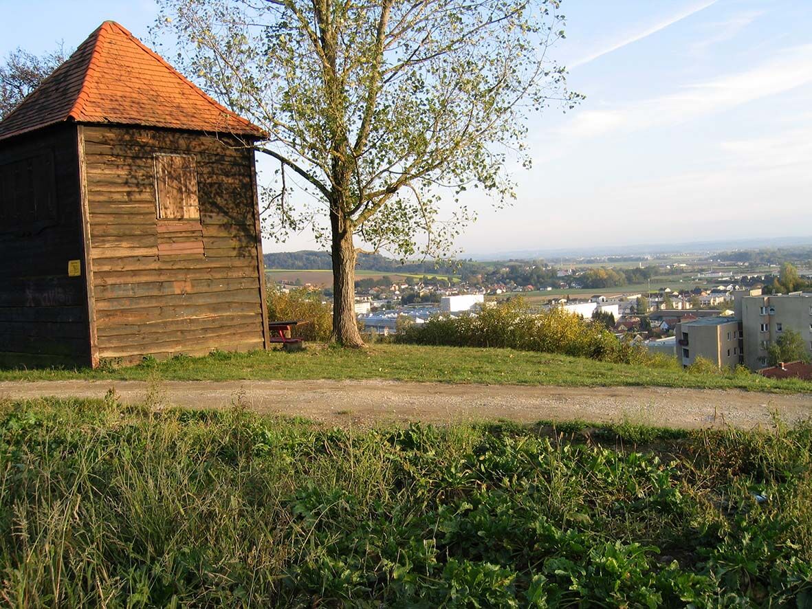
- Highest point
- 472 m
- Endpoint
-
Steg bei der Freizeitwiese an der Aist
- Height profile
-


- Author
-
The tour Schwertberg: Weltstoarunde is used by outdooractive.com provided.
GPS Downloads


Other tours in the regions
-
Mühlviertel
1781
-
Moststraße
754
-
Schwertberg
184