© Mühlviertler Alm / Robert Diesenreither

© Maria Leitner

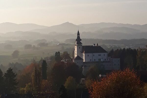
© Josef Gusenbauer

- Brief description
-
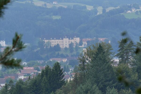
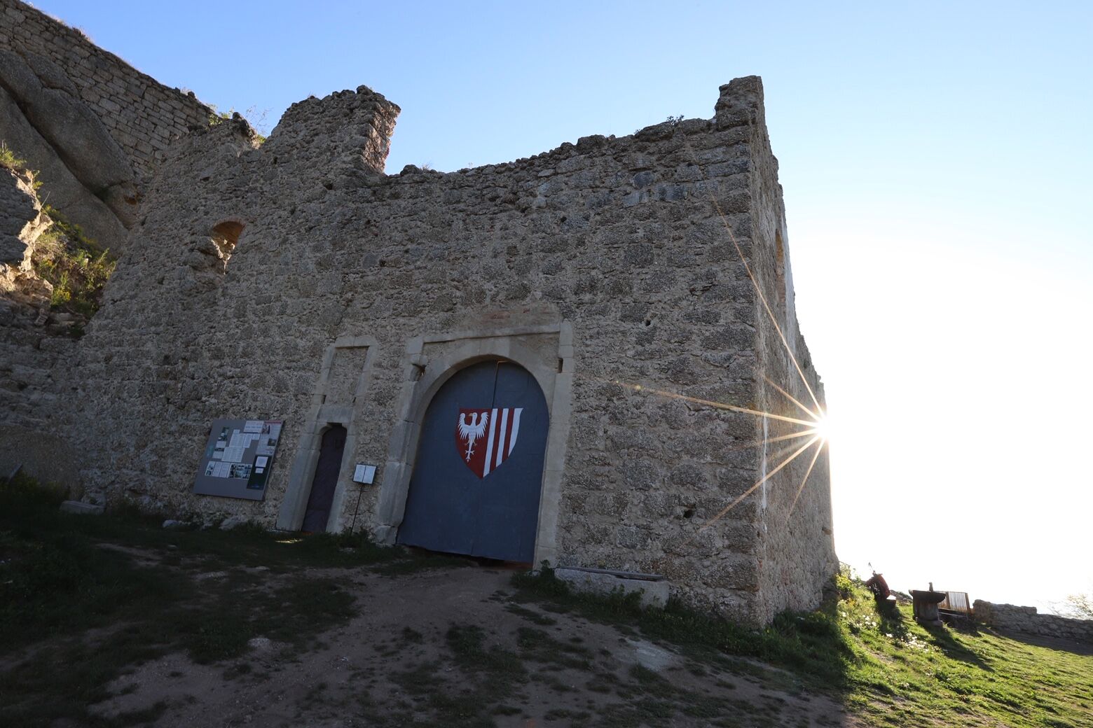
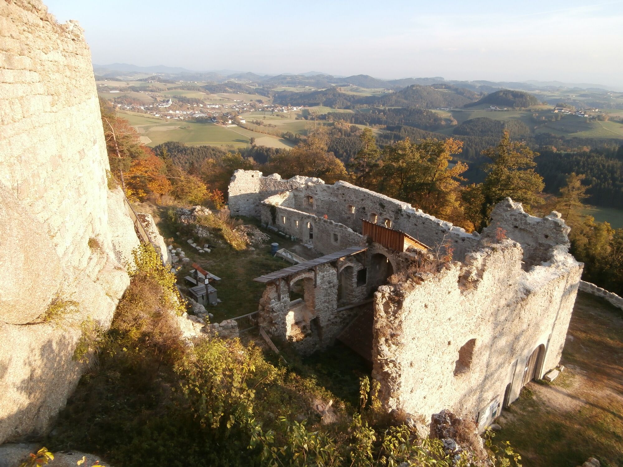
Qualifizierter Wanderweg - der Vorplatz der Ruine Klingenberg mit hervorragendem Weitblick ist zugänglich, die Ruine selbst ist nur nach Vereinbarung begehbar
- Difficulty
-
easy
- Rating
-
- Route
-
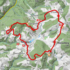
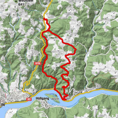
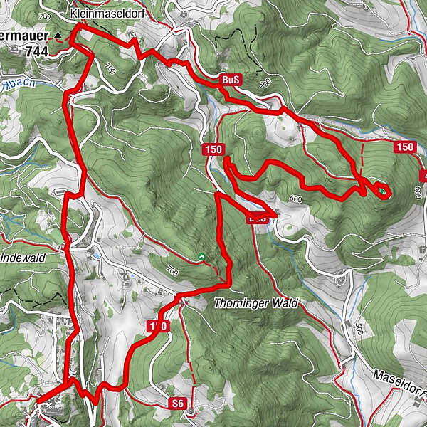
Sankt Thomas am Blasenstein0.0 kmBlasenstein (723 m)0.1 kmZigeunermauer (744 m)2.4 kmKleinmaseldorf2.7 kmMitter Sankt Thomas8.9 kmBlasenstein (723 m)9.7 kmSankt Thomas am Blasenstein9.7 kmAhorner9.7 km
- Best season
-
JanFebMarAprMayJunJulAugSepOctNovDec
- Highest point
- 705 m
- Height profile
-

- Additional information
- Author
-
The tour Ruine Klingenberg S8 is used by outdooractive.com provided.
GPS Downloads


Other tours in the regions
-
Mühlviertel
1784
-
Strudengau
799
-
St. Thomas am Blasenstein
262