
- Difficulty
-
easy
- Rating
-
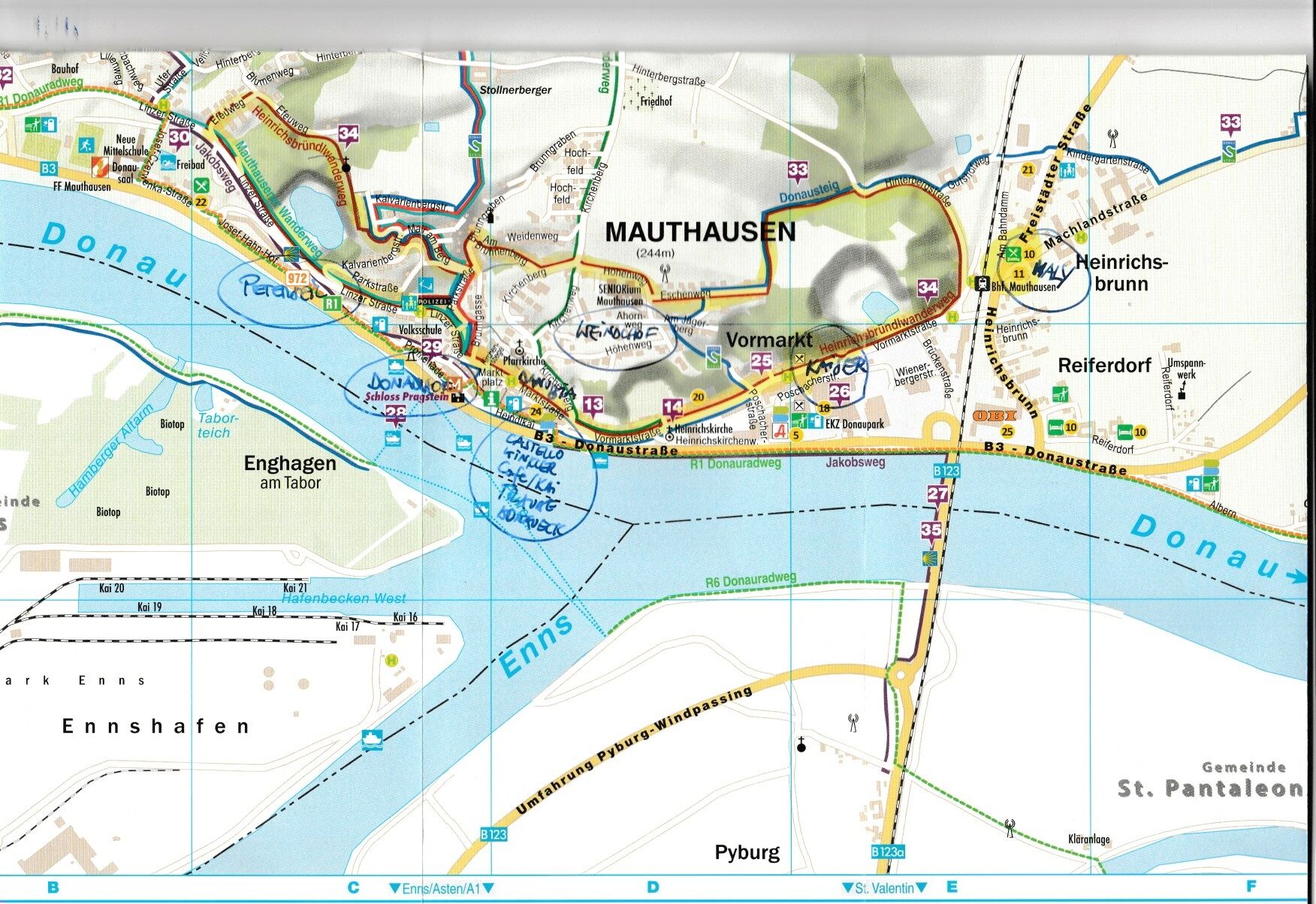
- Starting point
-
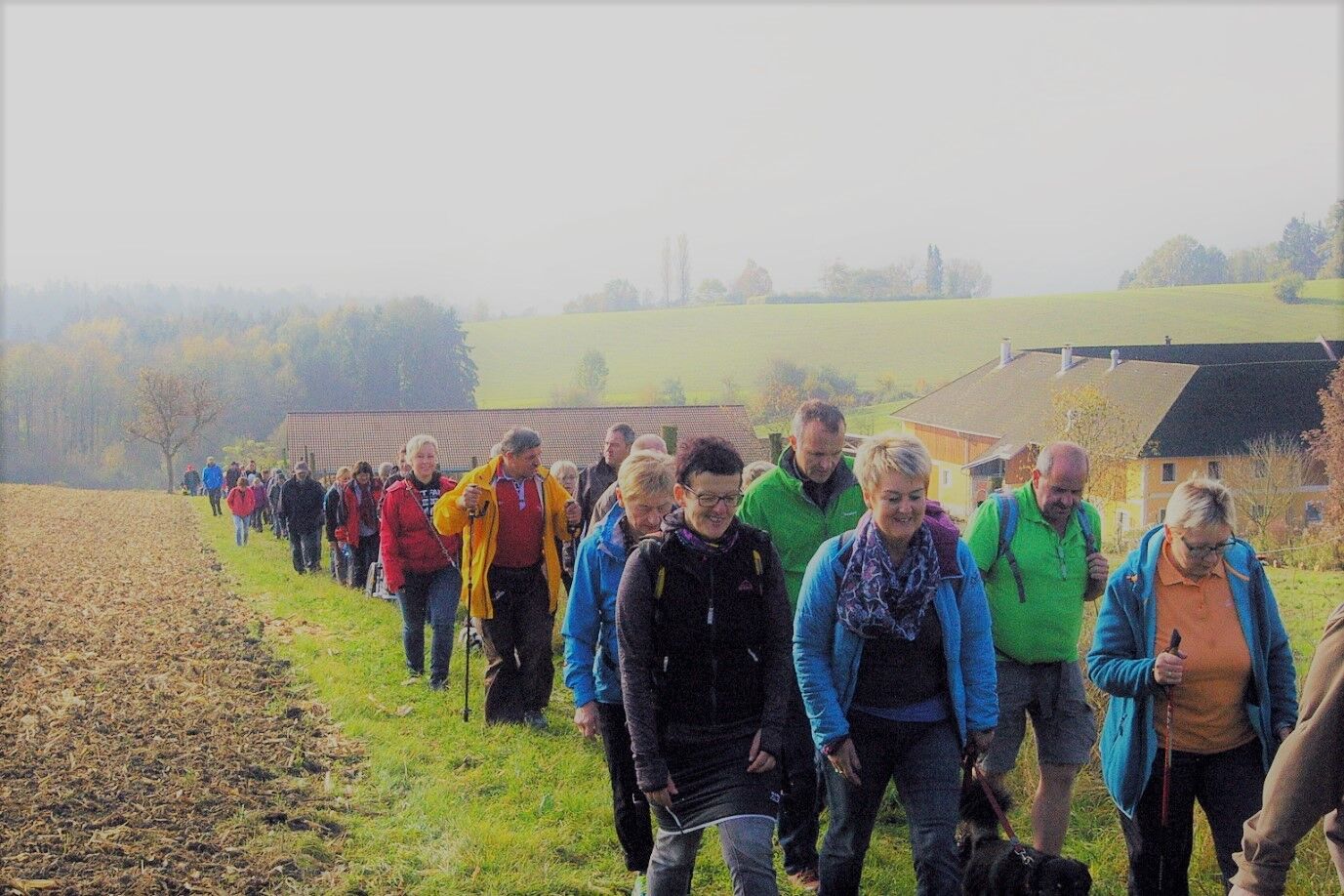
Mauthausen marketplace
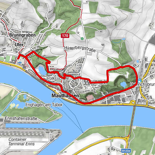
- Route
-
Ufer0.1 kmGrünbaumkapelle0.7 kmVormarkt1.9 kmMauthausen2.9 kmHeinrichsbrunn3.0 kmEd Kaisers Gasthaus3.4 kmHeinrichskirche3.7 kmMauthausen4.1 kmUfer5.3 km
- Best season
-
JanFebMarAprMayJunJulAugSepOctNovDec
- Description
-
After Station Street you`ll come upon Vormarktstrasse Road, on which you continue in a westward direction passing another couple of small, abandoned quarries. Behind the small Heinrichskirchlein church, which was a monestary around 1000 BC and is now where the locals come to visit their dead lying in state, you`ll pass the Schiffmeisterhaus building to get to Untermarkt and Hendlkai with its baroque houses. At Pragstein Water Castle, which was built on a rock in the Danube in 1493, you`ll get to the shipping pier at the promenade.
- Highest point
- 313 m
- Endpoint
-
Boat landing stage on the promenade
- Height profile
-

- Equipment
-
Hiking backpack (incl. rain cover), sturdy shoes
- Tips
-
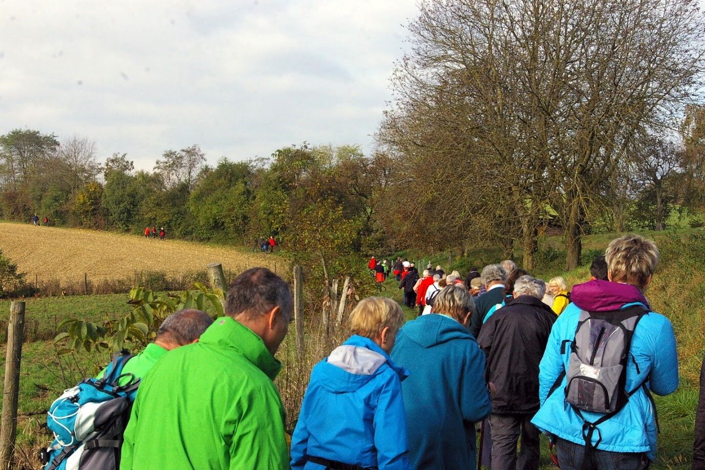
This day walk consists of a large circuit (additionally with section No. 170 to Marbacher Castle, 1 km eastwards along hiking trail No. 42 Poschacher estate and the railway station.
- Public transportation
- Parking
-
Public parking at Pragstein Castle, opposite Mauthausen primary school,next to state road 3.
- Author
-
The tour Heinrichsbründlweg Trail is used by outdooractive.com provided.


General info
-
Mühlviertel
1781
-
Moststraße
754
-
Mauthausen
167