
- Brief description
-
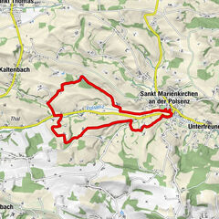
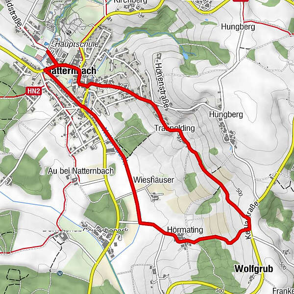
Trail along Natternbach stream in a south-east direction
- Difficulty
-
easy
- Rating
-
- Starting point
-
Centre of Natternbach
- Route
-
Natternbach (434 m)0.4 kmWieshäuser1.2 kmHörmating2.2 kmWolfgrub2.7 kmTraunolding4.1 kmPizzBaria VIVA4.9 kmGasthof Reifinger4.9 kmNatternbach (434 m)5.2 km
- Best season
-
JanFebMarAprMayJunJulAugSepOctNovDec
- Description
-
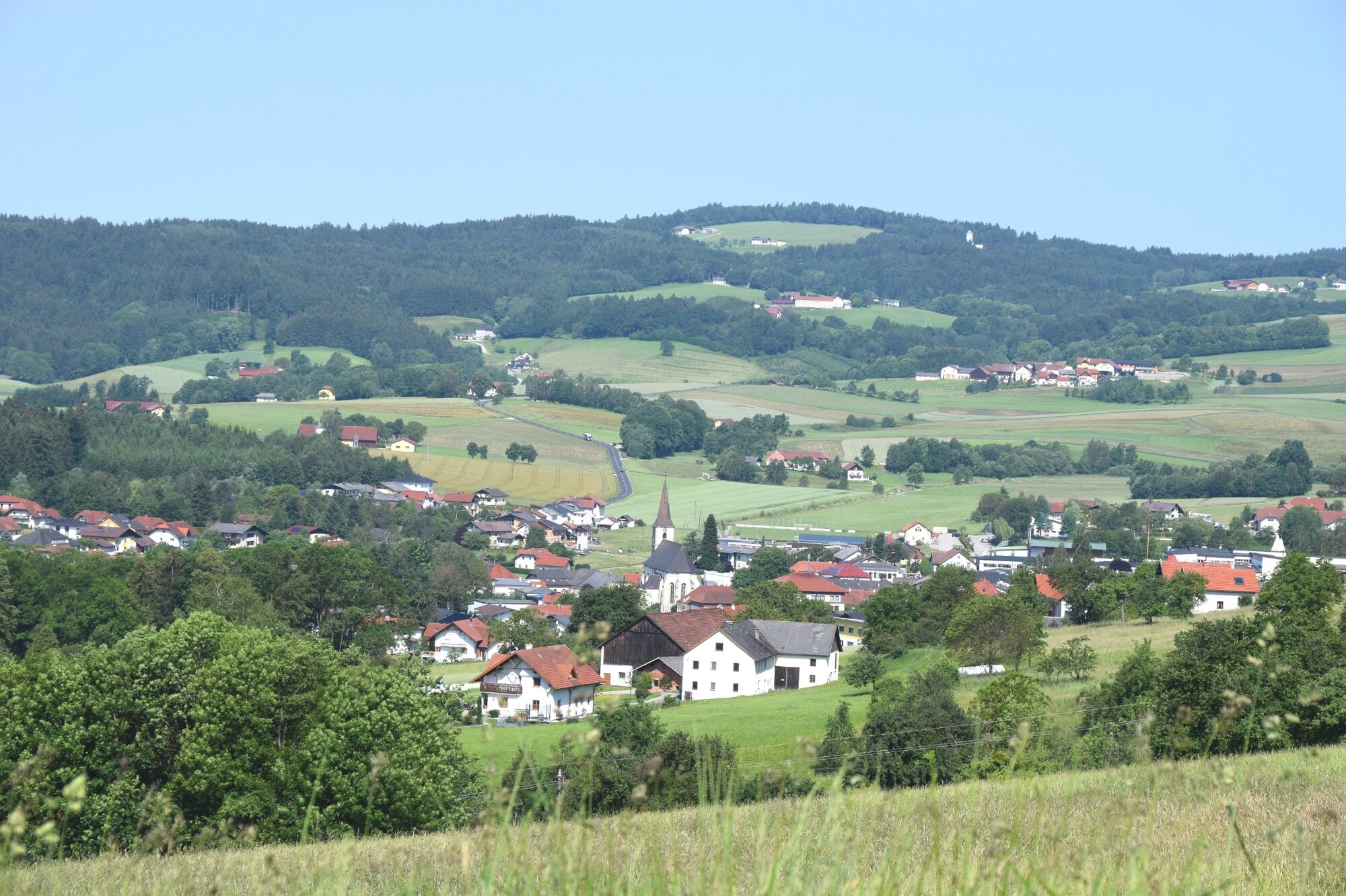
The trail leads along the banks of Natternbach in a south-east direction into the small farming village of Hörmating. Heading uphill to Kessla-Strasse Road it continues along a sunny slope - from where you can enjoy wonderful views into the village and to the edges of Sauwald forest with Gaiserwald and Turnstein - via the hamlet of Traunolding back to the centre of Natternbach.
- Highest point
- 502 m
- Endpoint
-
Centre of Natternbach
- Height profile
-

- Equipment
-
Hiking backpack (incl. rain cover), sturdy shoes
- Tips
-
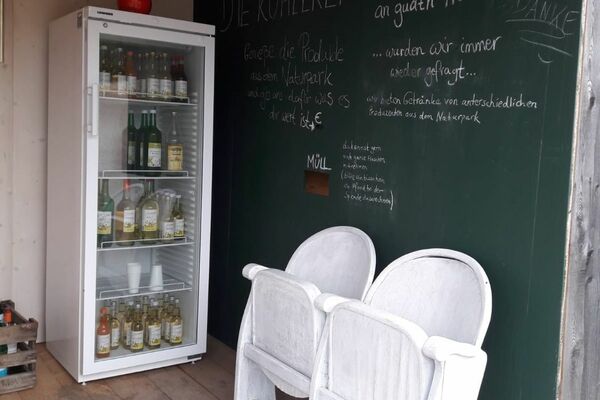
Culinary options along the way: In the main village: Cafe Bauer, Reifinger Inn, Pizzbaria Viva, IKUNA nature resort
- Additional information
-
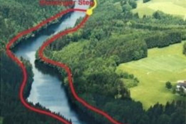
Sights: the course of the Natternbach stream, the Sauwald panorama view, the Gothic parish church
- Directions
-
by car: Autobahn A8 to exit Pichl bei Wels. Then continue via Grieskirchen and Peuerbach.
- Public transportation
- Parking
-
At the Infopoint in Natternbach sports and leisure centre
- Author
-
The tour Sauwald panoramic trail is used by outdooractive.com provided.


General info
-
Hausruckviertel
1487
-
Vitalwelt Bad Schallerbach
374
-
Natternbach
127