
- Brief description
-
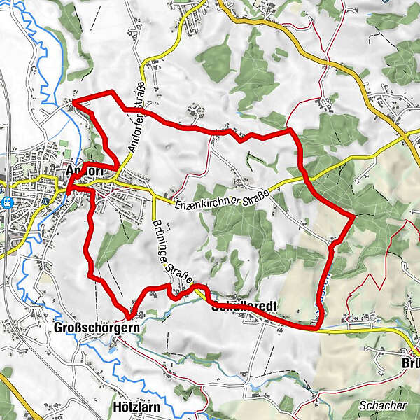
This hike will take you to the likely highest point of Andorf.
- Starting point
-
VVA-Gelände (Folk Festival and Beautification Grounds)
- Route
-
Pfarrkirche Andorf0.2 kmLandhotel & Gasthof Bauböck0.2 kmAndorf (346 m)0.3 kmGroßschörgern1.9 kmKleinschörgern2.2 kmKleinpichl2.5 kmGroßpichl3.1 kmNiederleiten3.4 kmAutzing3.9 kmSchulleredt4.1 kmRackersedt5.8 kmOberndorf8.9 kmLauterbrunn9.1 kmEdt beim Pfarrhof9.3 kmWinertsham10.5 kmAndorf (346 m)12.1 km
- Best season
-
JanFebMarAprMayJunJulAugSepOctNovDec
- Description
-
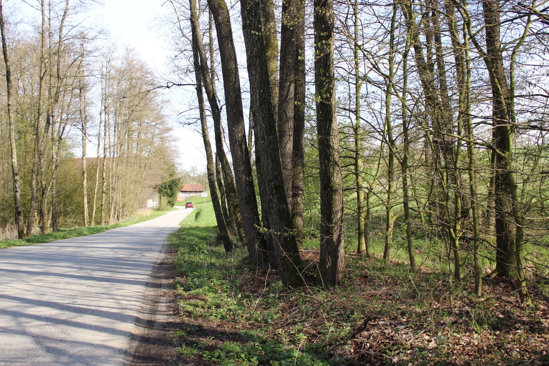
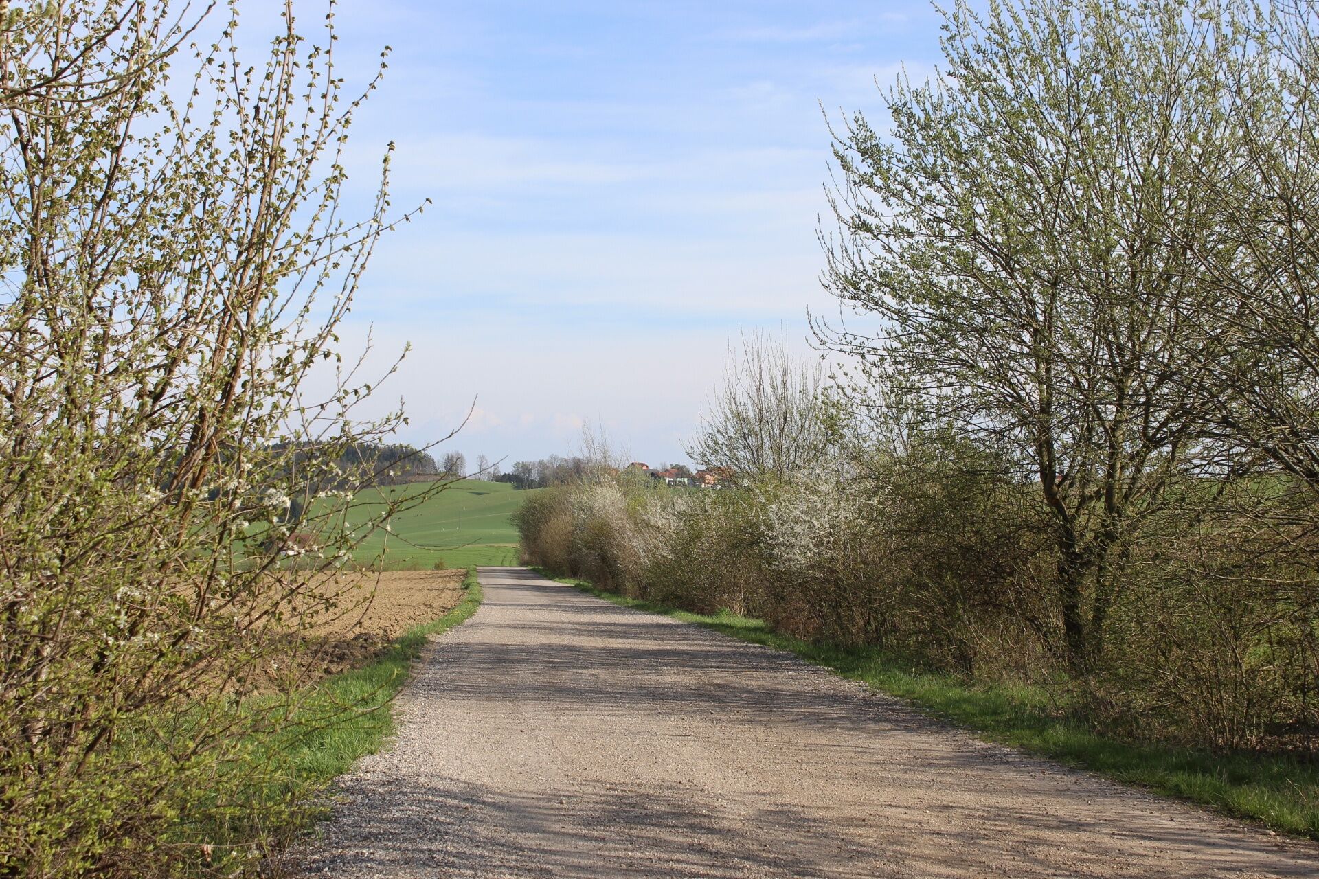
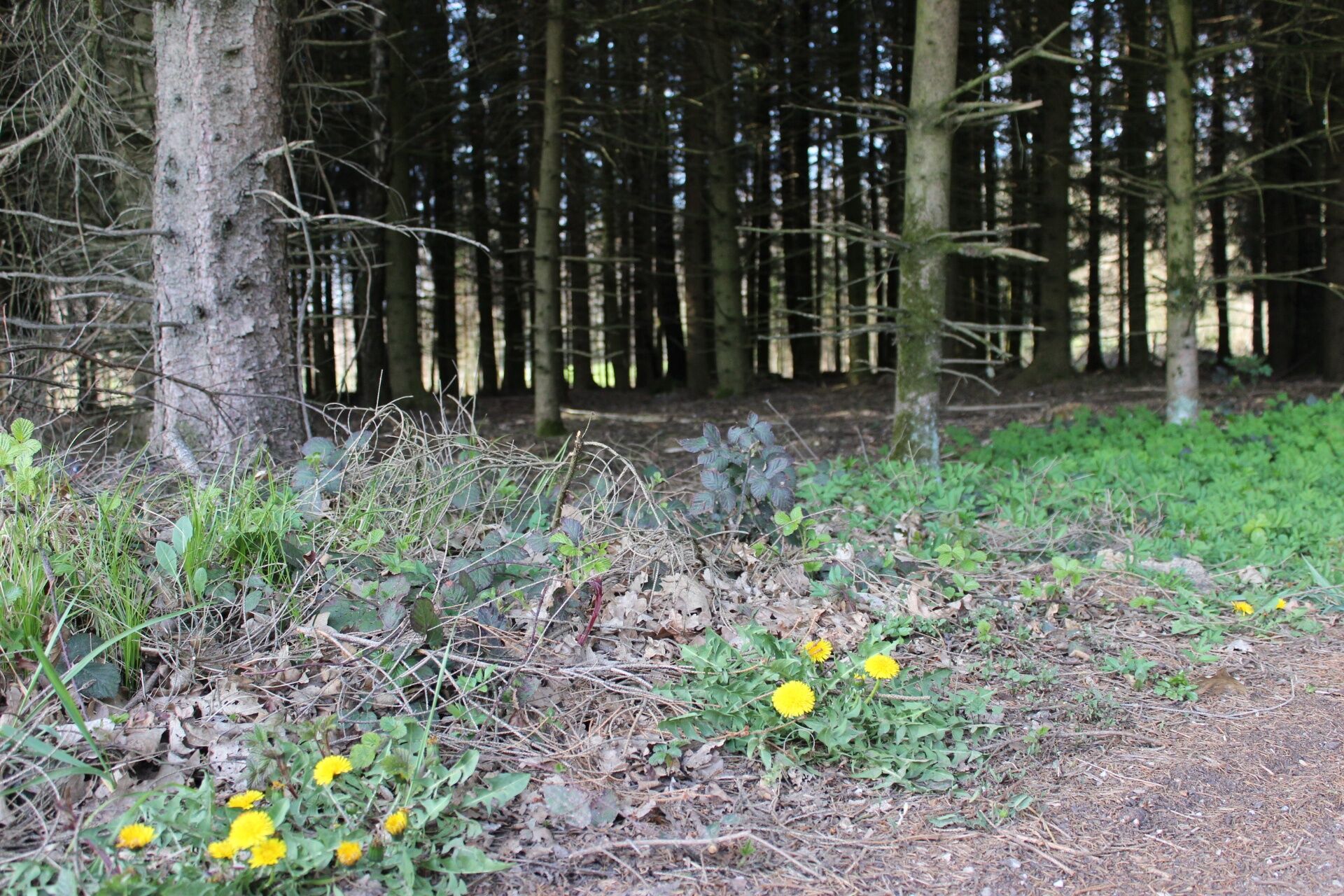
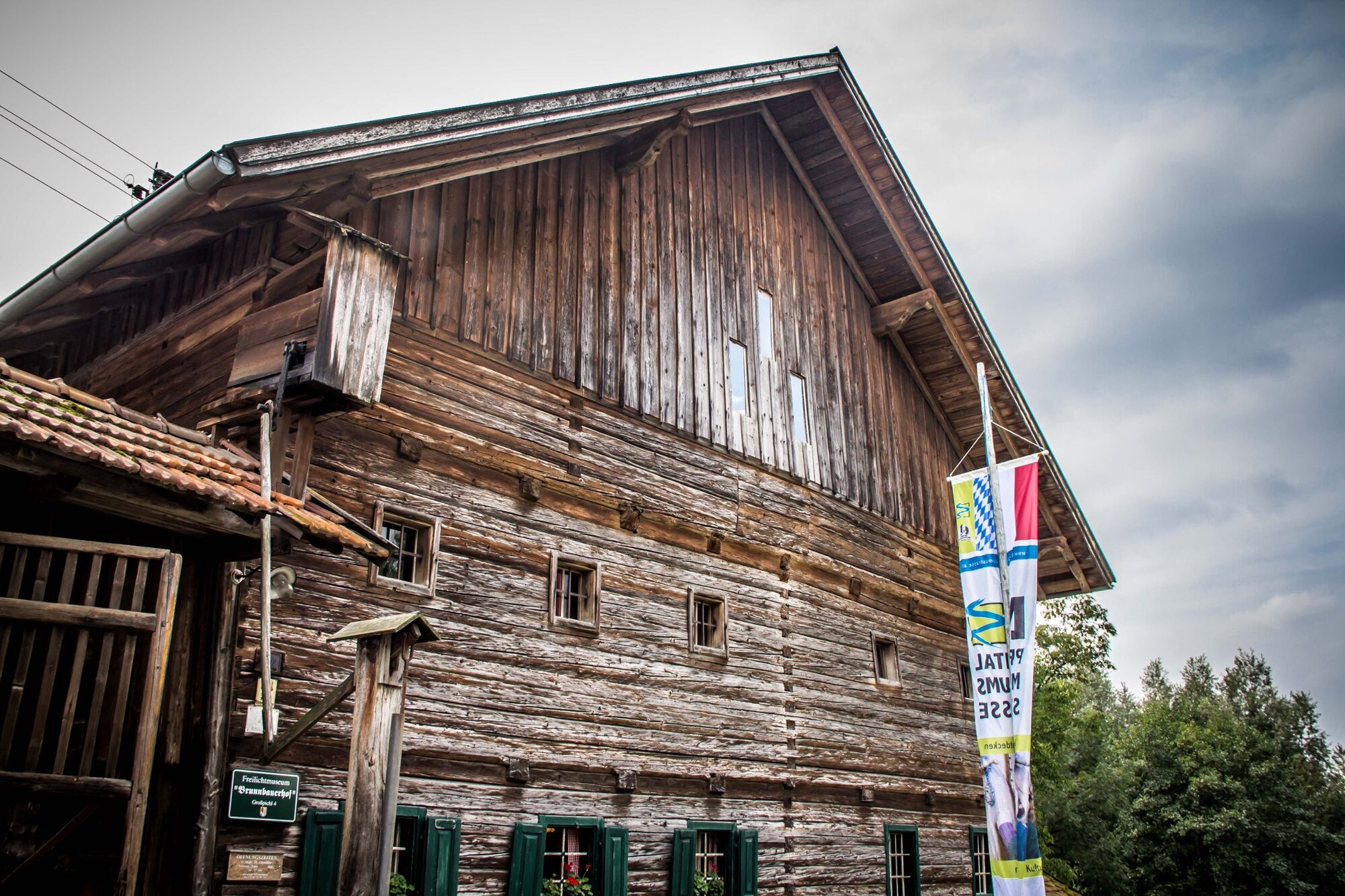
The route leads the former Kaiserlinde lime tree to Großpichl, past Brunnbauerhof outdoor museum. From there to Schulleredt & Rackersedt to Haulinger Holz. The highest point - a view of Sauwald all the way to the Alpine arc. From there continue in direction of Winertsham. Then past Burgstall and back to the urban area again and the last few metres along the river Pram.
- Highest point
- 432 m
- Endpoint
-
VVA-Gelände (Folk Festival and Beautification Grounds)
- Height profile
-

- Equipment
-
Hiking backpack (incl. rain cover), sturdy shoes
- Tips
-
Not far from this route you`ll find the first Innviertler herb garden. Founder Felix Grünberger has been working on it for decades and was even one of the authors of the famous book "The herbs in my garden".
- Directions
-
Located in the heart of Pramtal valley between Schärding and Grieskrichen;
B137 - coming from Schärding or Grieskirchen, exit Andorf, just a few kilometres to the town centre;
B129 - from Linz or Peuerbach – Enzenkirchen/Jagern - Andorf
B143 or B 141a, L514 - from Ried keep left – (Taiskirchen) - Lambrechten - Andorf
Autobahn exits Ried im Innkreis or Suben recommended;
- Public transportation
- Parking
-
Sufficient free parking at start/finish
- Author
-
The tour Haula-Schulleredt-circuit - W3 is used by outdooractive.com provided.


General info
-
Innviertel
797
-
s'Innviertel
341
-
Andorf
43