© Marktgemeinde Kopfing im Innkreis

- Brief description
-
family-friendly, no noteworthy climbs, route leads mainly through the forest
- Difficulty
-
easy
- Rating
-
- Starting point
-
Kopfing town centre
- Route
-
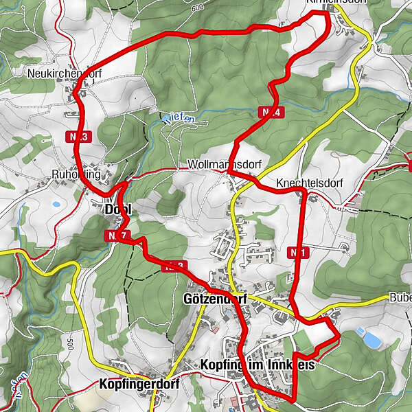
Gasthof zur PostKopfing im Innkreis (547 m)0.0 kmGötzendorf1.3 kmKnechtelsdorf1.9 kmWollmannsdorf2.5 kmKimleinsdorf3.7 kmNeukirchendorf5.3 kmRuholding6.0 kmDobl6.4 kmGötzendorf7.5 kmWirt z' Götzendorf7.6 kmKirchenwirt Kopfing8.1 kmKopfing im Innkreis (547 m)8.1 kmGasthof zur Post8.1 km
- Best season
-
JanFebMarAprMayJunJulAugSepOctNovDec
- Description
-
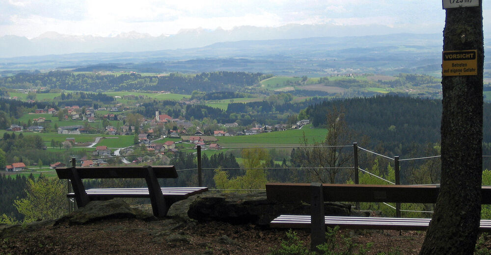
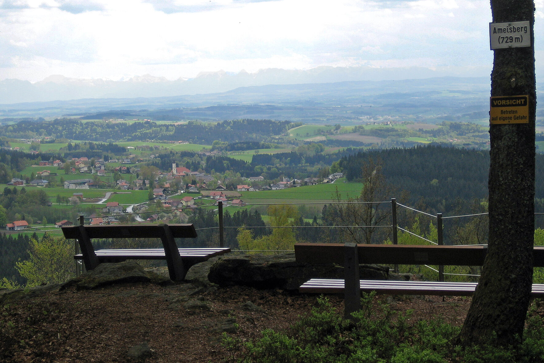
This family-friendly hike, mainly through forest sections, leads from the town centre through Pfarrerwald forest to Knechtelsdorf and Wollmannsdorf. There you'll enter the depths of the Sauwald forest and along well-paved paths at the foot of Ameisberg get to the village of Neukirchendorf. Wonderful views into the Alpine foothills when continuing your walk to Ruholding. Back to Kopfing via Dobl and Götzenberg.
- Highest point
- 601 m
- Endpoint
-
Kopfing town centre
- Height profile
-

- Directions
-
from Linz - B131 Aschacher Straße - B130 Nibelungen Straße - in Engelhartszell left on B136 Sauwald Straße - left on L1139 Grafendorf to Kopfing
- Public transportation
- Parking
-
Kopfing town centre
- Author
-
The tour American is used by outdooractive.com provided.
GPS Downloads


General info
Refreshment stop
Other tours in the regions
-
Innviertel
797
-
Kopfing im Innkreis
118