
- Brief description
-
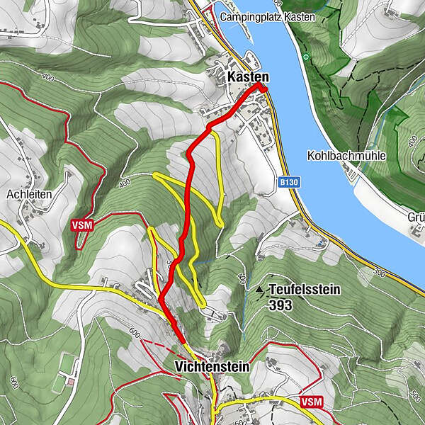
This hiking route leads steeply uphill to Vichtenstein.
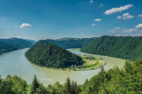
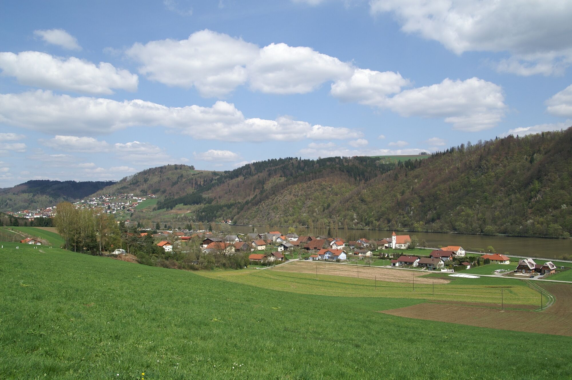
On the way back, you’ll have wonderful views of Danube Valley as well as the small township of Kasten. - Difficulty
-
easy
- Rating
-
- Starting point
-
Kasten landing stage or Vichtenstein viewing platform
- Route
-
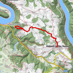
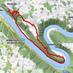
Gasthof-Pension Klaffenböck0.1 kmKasten0.1 kmLandgasthaus Koller1.8 kmPanoramablick Vichtenstein1.9 kmVichtenstein1.9 km
- Best season
-
JanFebMarAprMayJunJulAugSepOctNovDec
- Description
-
Shipping pier Kasten in direction of Vichtenstein - Danube Trail rest area "Rotes Kreuz" - crossing the main road - Vichtenstein. If hiking in the opposite direction, starting point viewing platform in front of the town hall - after 100 m turnoff to the right - see signs for "Fuchsenlochrunde"
(uphill/downhill depending on walking direction)
- Highest point
- 549 m
- Endpoint
-
Kasten landing stage or Vichtenstein viewing platform
- Height profile
-

- Equipment
-
sturdy shoes
- Tips
-
Castle and parish church of Vichtenstein (Castle can only be looked at from the outside).
- Additional information
-
Points of interest along the hiking trail:
- Kasten landing stage
- Kasten Filial Church
-"Rotes Kreuz" Danube Path rest stopmagnificent views across the Danube into neighbouring Bavaria and the Mühlviertel region
- Public transportation
- Parking
-
Starting point Kasten or Vichtenstein
- Author
-
The tour Hiking trail Kasten-Vichtenstein is used by outdooractive.com provided.


General info
-
Innviertel
797
-
Ferienregion Böhmerwald
479
-
Vichtenstein
113