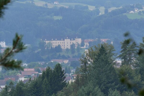
© WGD Donau Oberösterreich Tourismus GmbH/Andreas Kranzmayr - Andreas Kranzmayr
© WGD Donau Oberösterreich Tourismus GmbH/Weissenbrunner - Weissenbrunner

- Brief description
-
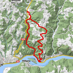
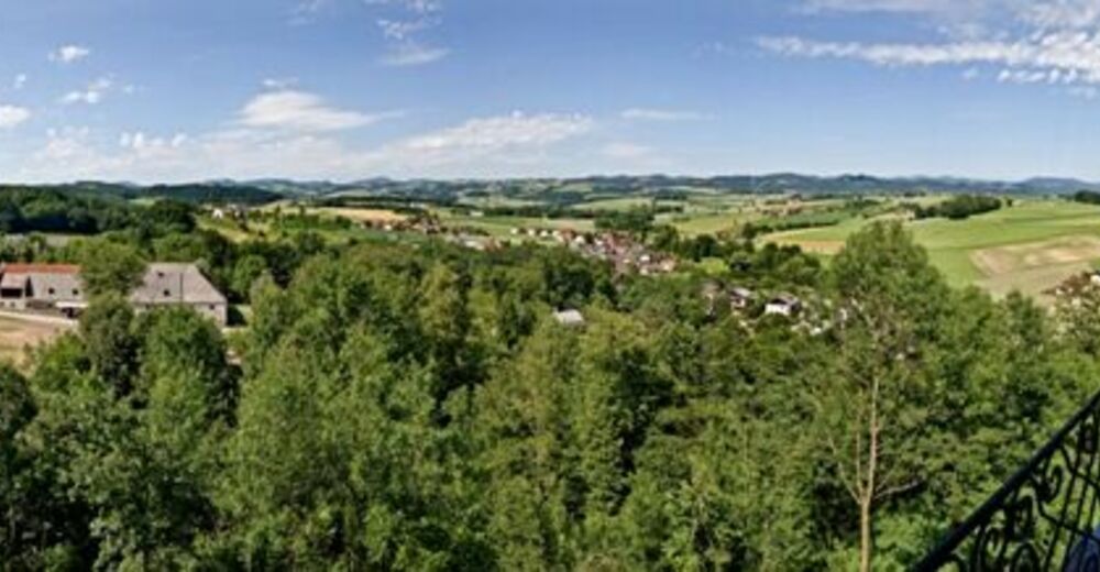
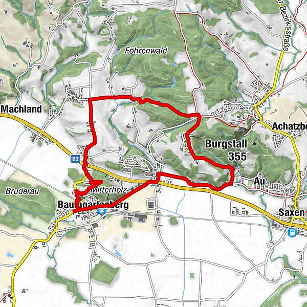
Steindl - Amesbach - Mühlberg - Baumgartenberg
- Difficulty
-
easy
- Rating
-
- Starting point
-
Baumgartenberg
- Route
-
BruderauBaumgartenberg0.1 kmBlochy Wirt0.2 kmLandgasthof Rechberger1.2 kmSteindl1.7 kmAmesbach3.3 kmMühlberg5.3 kmAu6.3 kmObergassolding7.7 kmUntergassolding7.9 kmHochfeld8.2 kmBaumgartenberg8.8 kmKlosterhof9.0 kmBruderau9.3 km
- Best season
-
JanFebMarAprMayJunJulAugSepOctNovDec
- Description
-
We follow Donausteig Trail from the starting place in Baumgartenberg. We cross the forest after Amesberg and take a right turn before Sperken. We follow the course of the trail and take a left turn into the forest before the last farm. We keep to the right near Au and follow a side road towards Baumgartenberg that runs parallel to the main road. We cross the federal road and turn into a road in south-western direction. We follow the road to the starting point.
- Highest point
- 354 m
- Endpoint
-
Sportplatz Baumgartenberg
- Height profile
-

- Additional information
- Public transportation
-
Train connection: Baumgartenberg train station
- Parking
-
Tennis court, municipal office, Kirchenplatz square


- Author
-
The tour Baumgartenberg: Foothills of the Alps Views Loop Trail is used by outdooractive.com provided.
GPS Downloads


Other tours in the regions
-
Mühlviertel
1781
-
Strudengau
802
-
Baumgartenberg
132