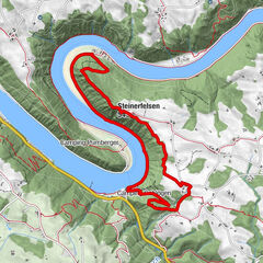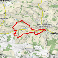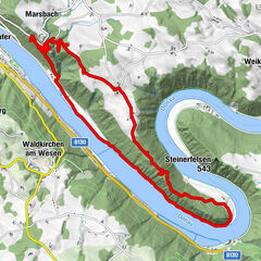
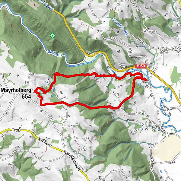
Tour data
8.78km
273
- 653m
393hm
394hm
02:00h
- Brief description
-
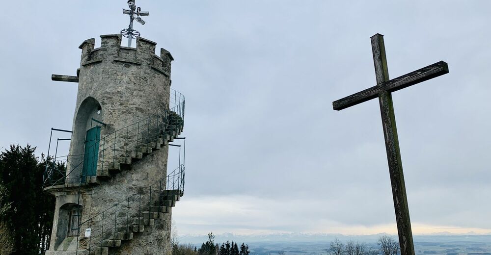
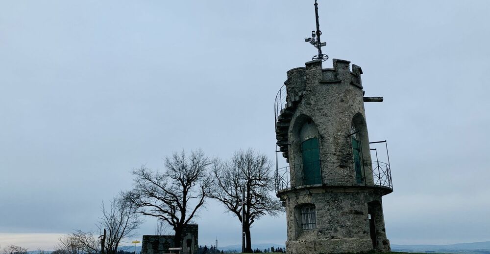
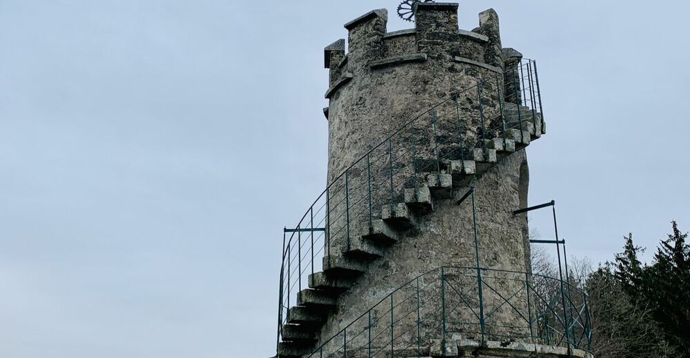
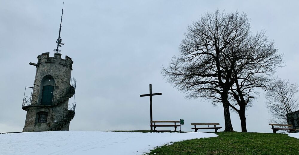
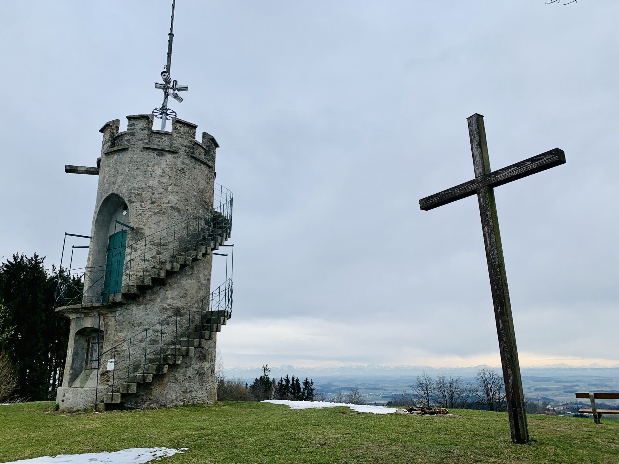
Mayrhofberg 655m - höchster Gipfel des Bezirkes Eferding
- Difficulty
-
easy
- Rating
-
- Route
-
Hilkering0.2 kmHörmannsedt1.8 kmMayrhofberg (655 m)4.4 kmKnieparz ob der Leiten5.6 kmKnieparz unter der Leithen7.2 kmHart ob Hacking7.7 kmHilkering8.6 km
- Highest point
- 653 m


All ratings
Michael Forstner
10. Mar. 2024
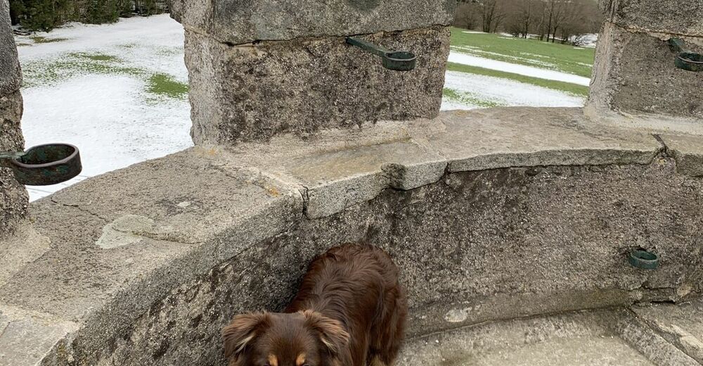
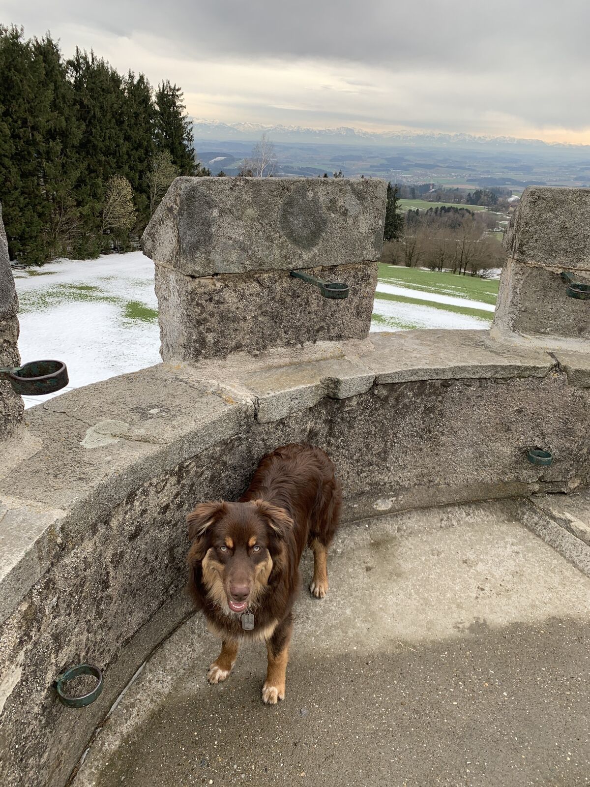
Mayrhofberg - höchste Erhebung des Eferdinger Beckens
Super gemütliche Tour - anfangs lange im Wald (also gut für heisse Tage geeignet) stetig bergauf, oben bei der Warte ein lässiges 360 Grad Panorama 👌👌
GPS Downloads


Other tours in the regions
-
Hausruckviertel
1483
-
Donau Oberösterreich
775
-
Stroheim
126