
- Brief description
-
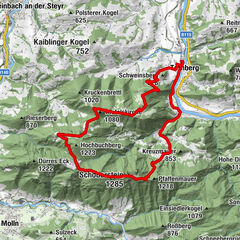
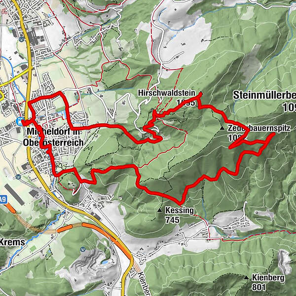
Varied round tour over the highest point of the southern local mountains of Micheldorf
- Difficulty
-
medium
- Rating
-
- Starting point
-
Micheldorf train station
- Route
-
MicheldorfMicheldorf1.2 kmGeigenbauer1.5 kmHirschwaldstein (1,095 m)10.2 kmMicheldorf13.9 km
- Best season
-
JanFebMarAprMayJunJulAugSepOctNovDec
- Description
-
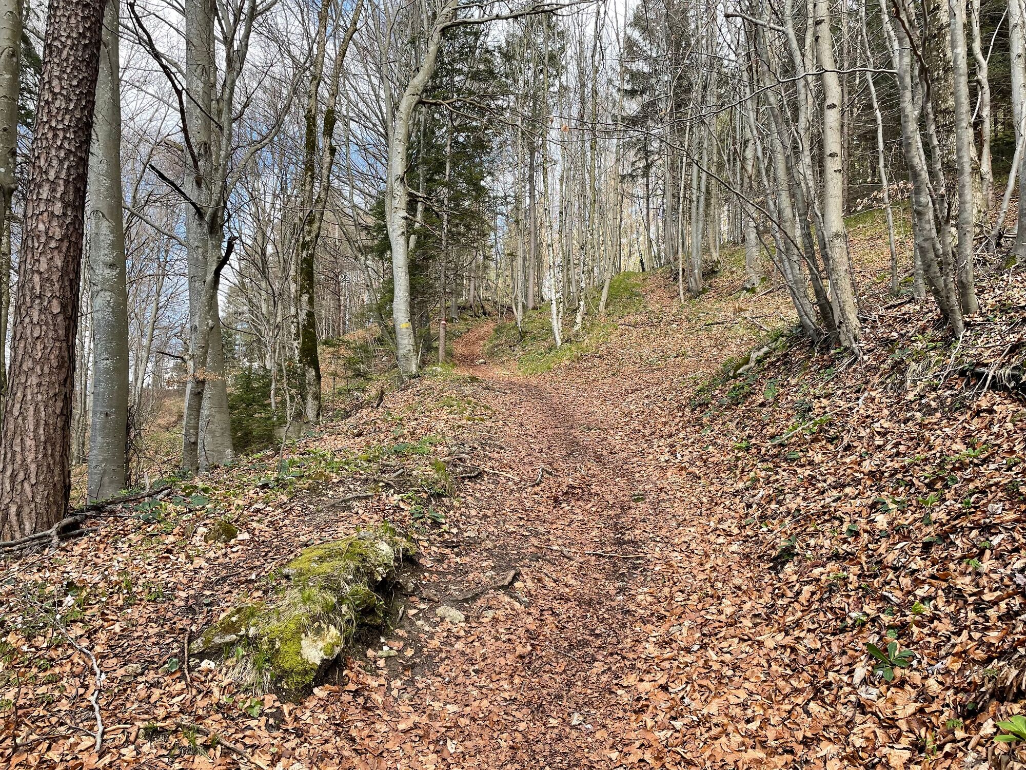
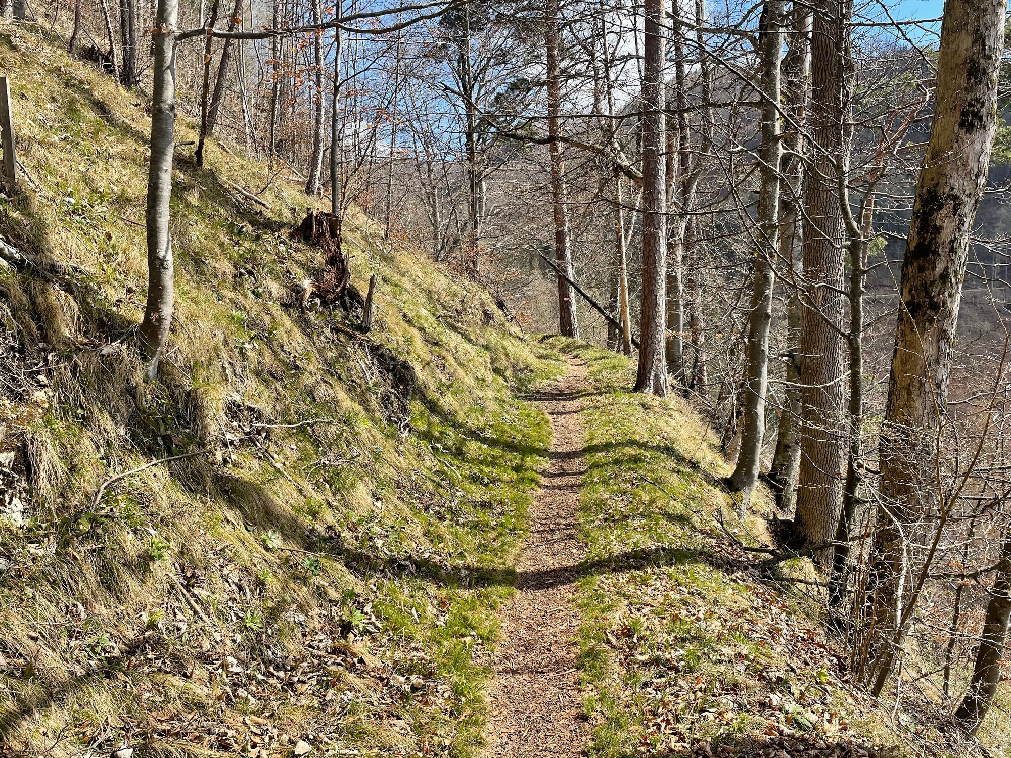
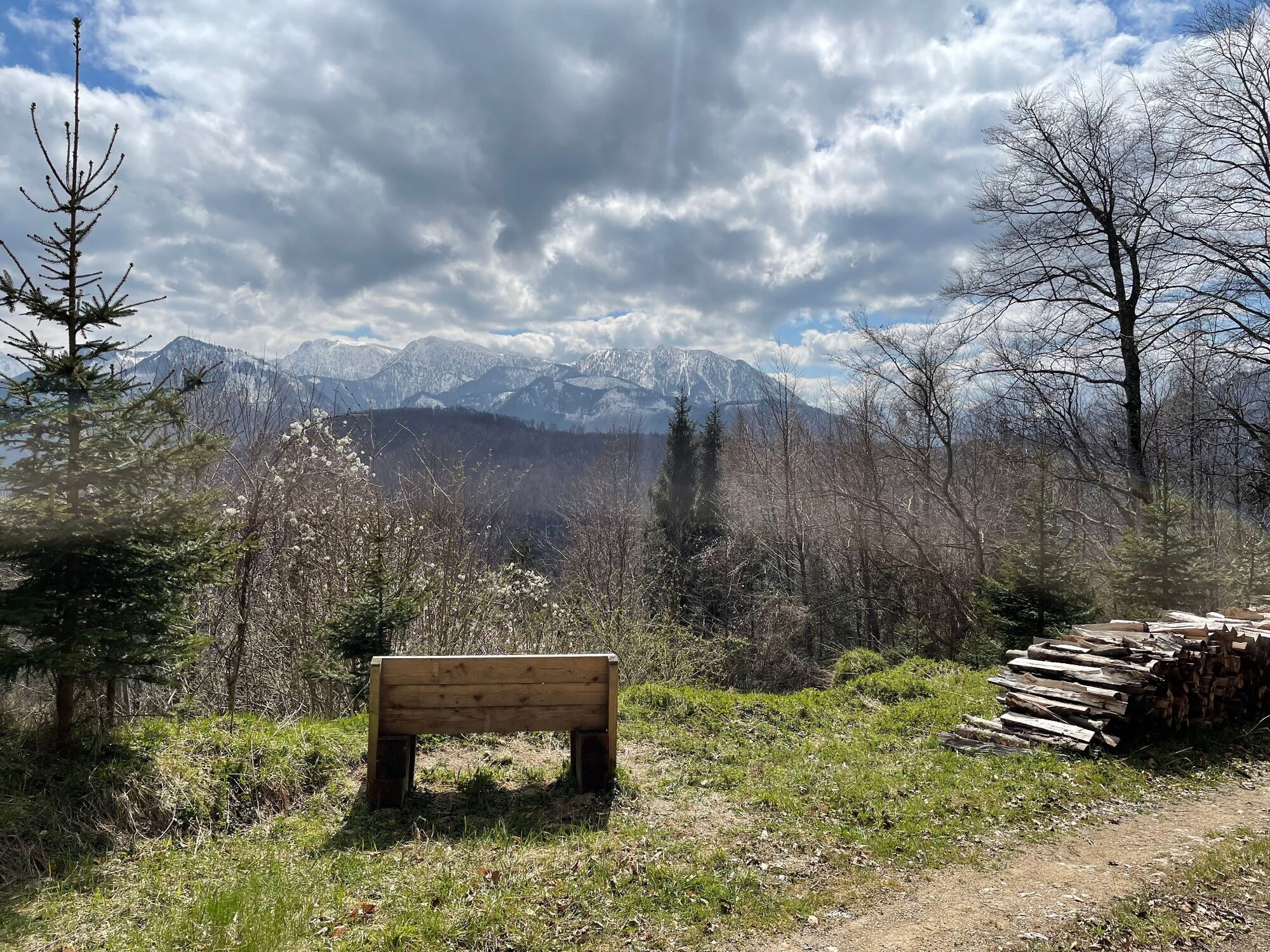
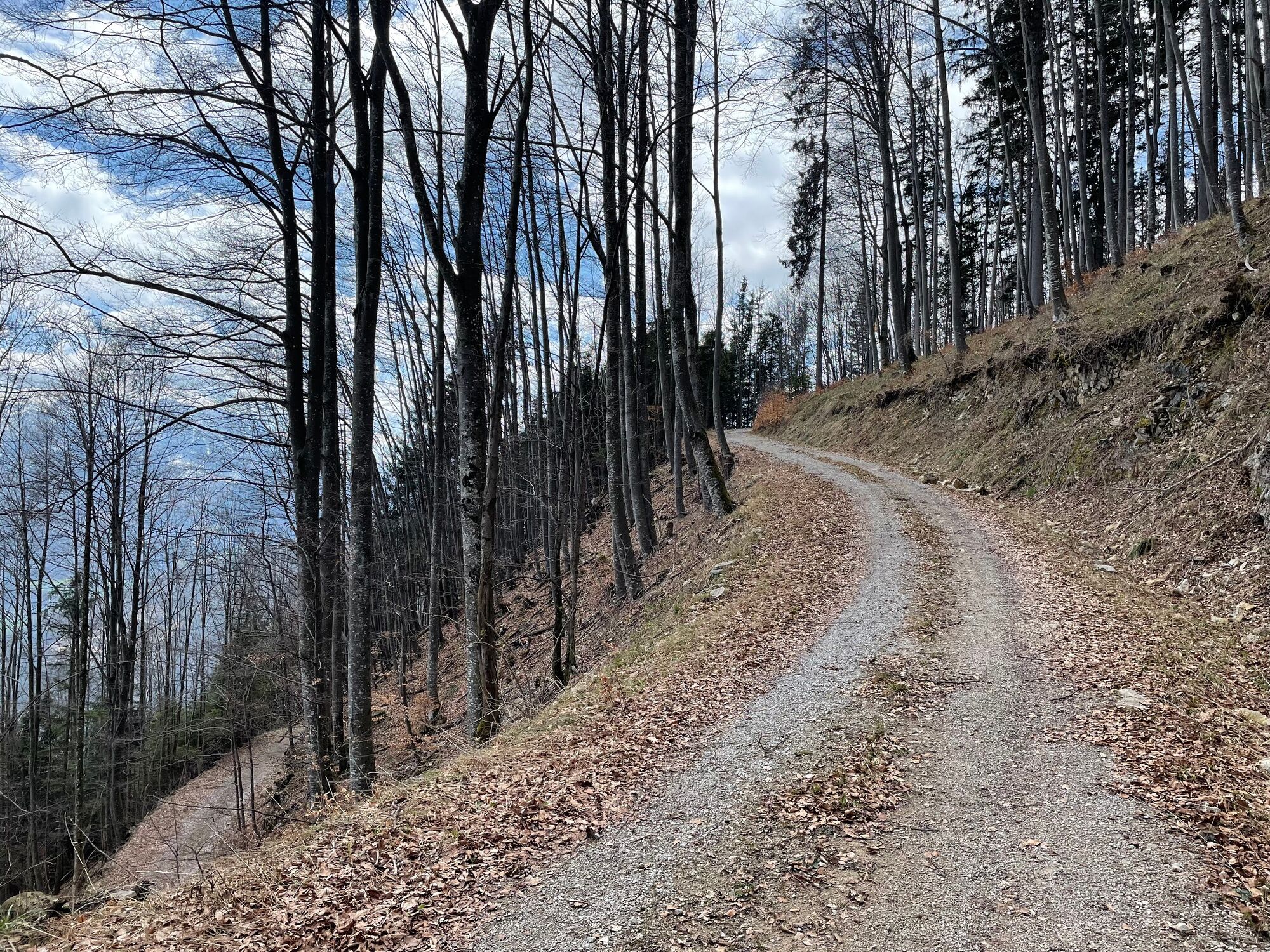
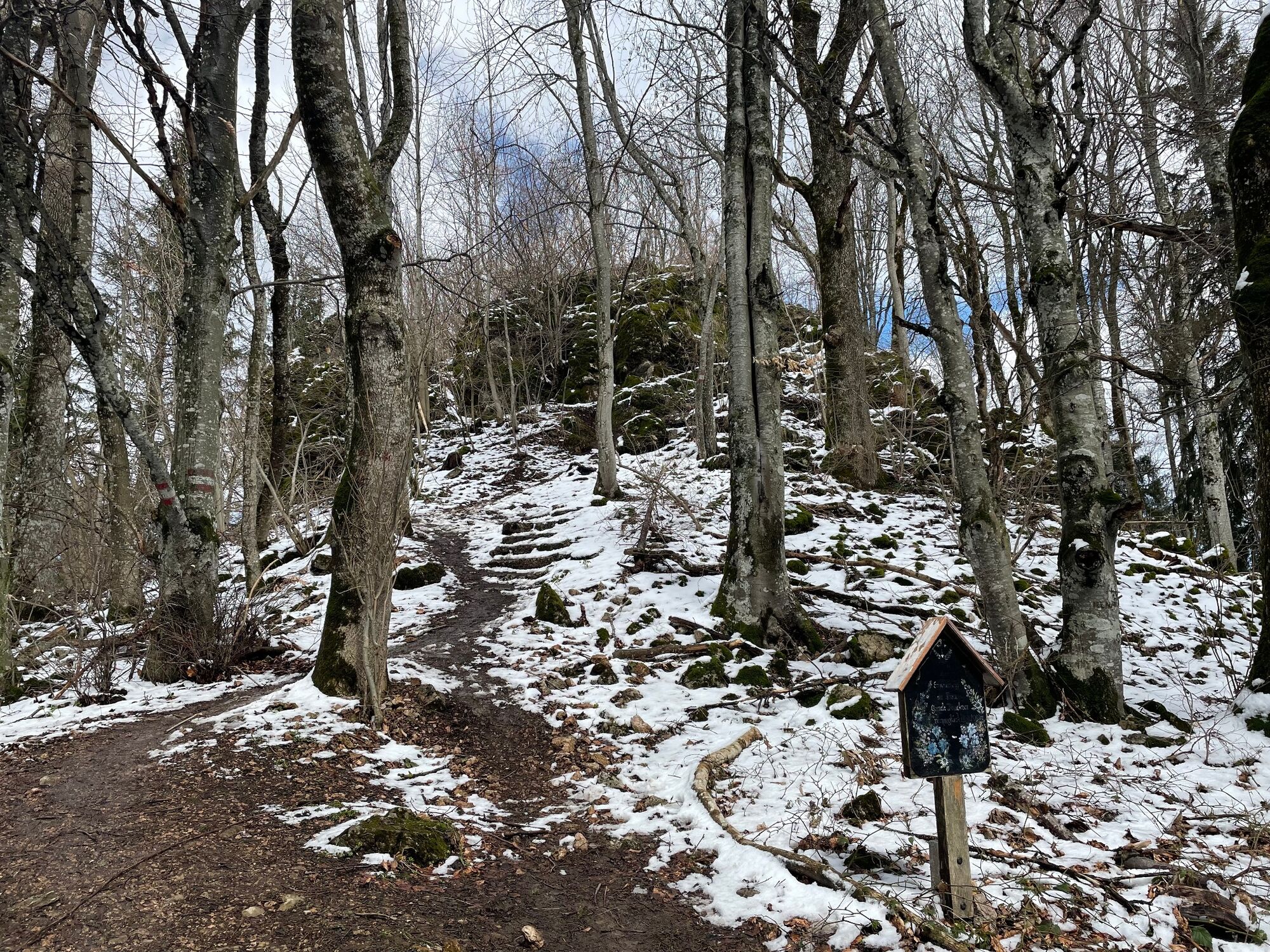
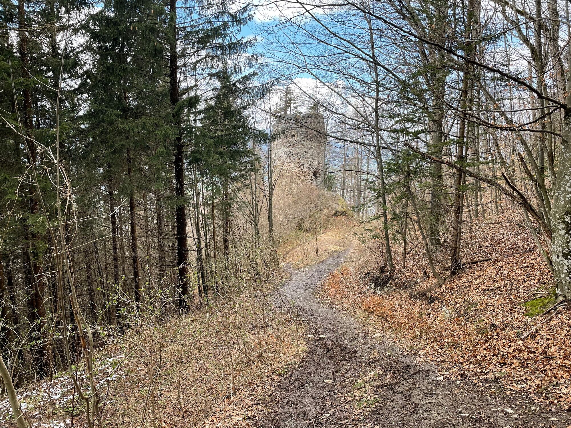
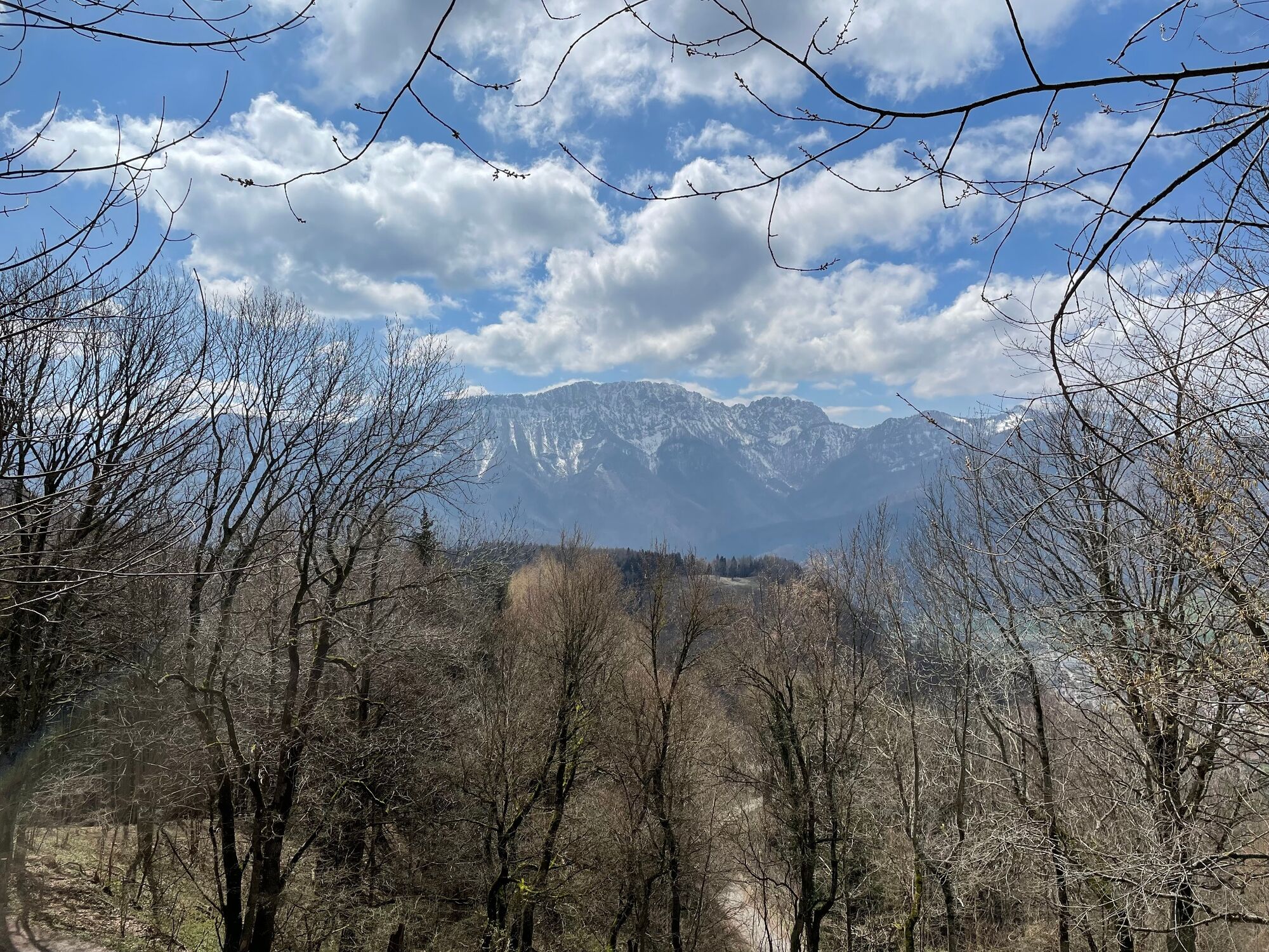
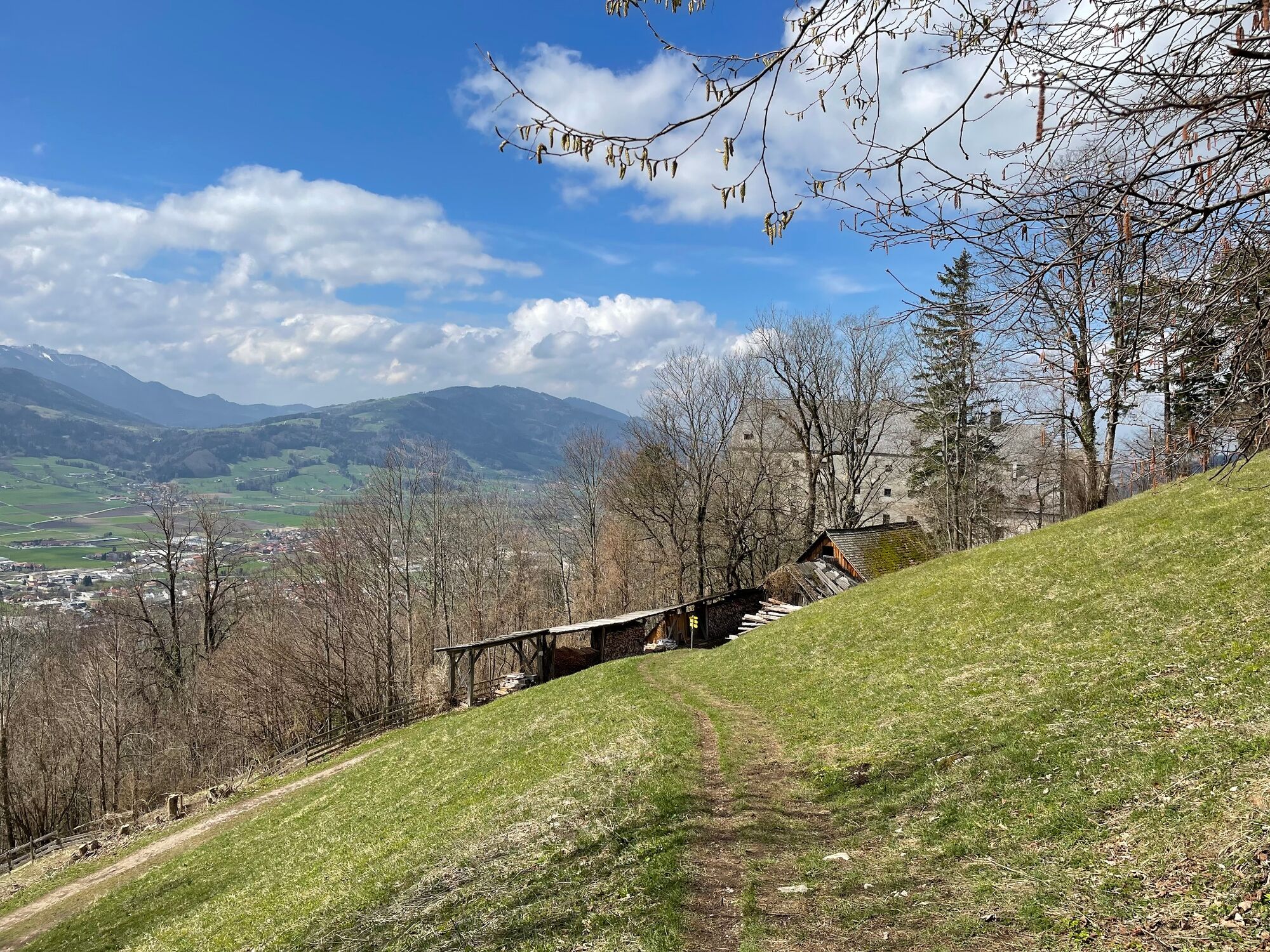
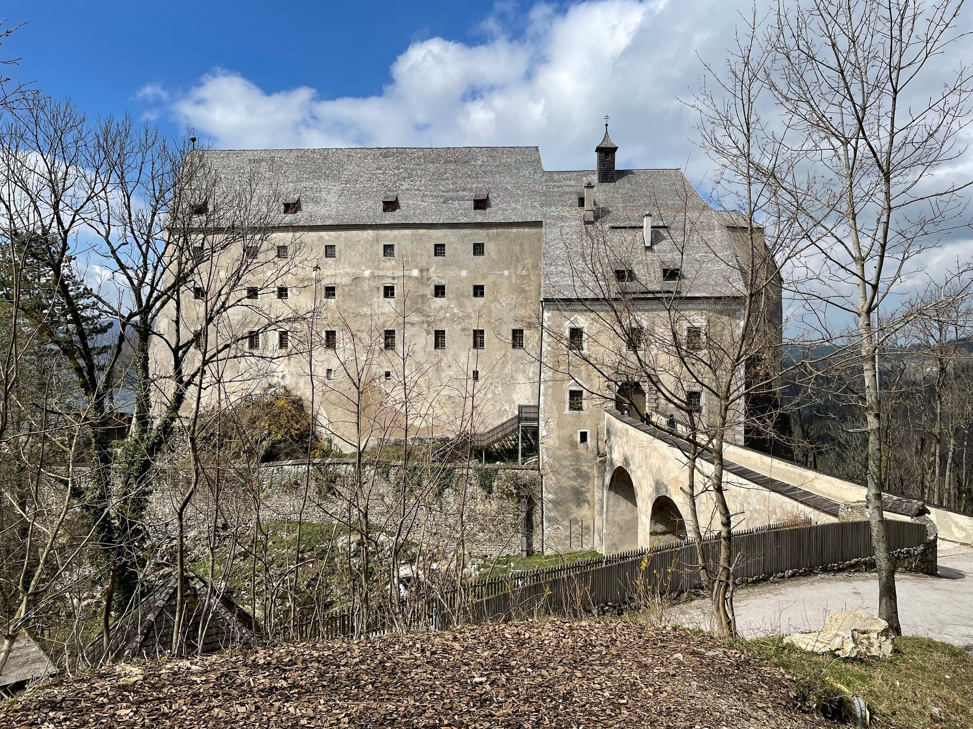
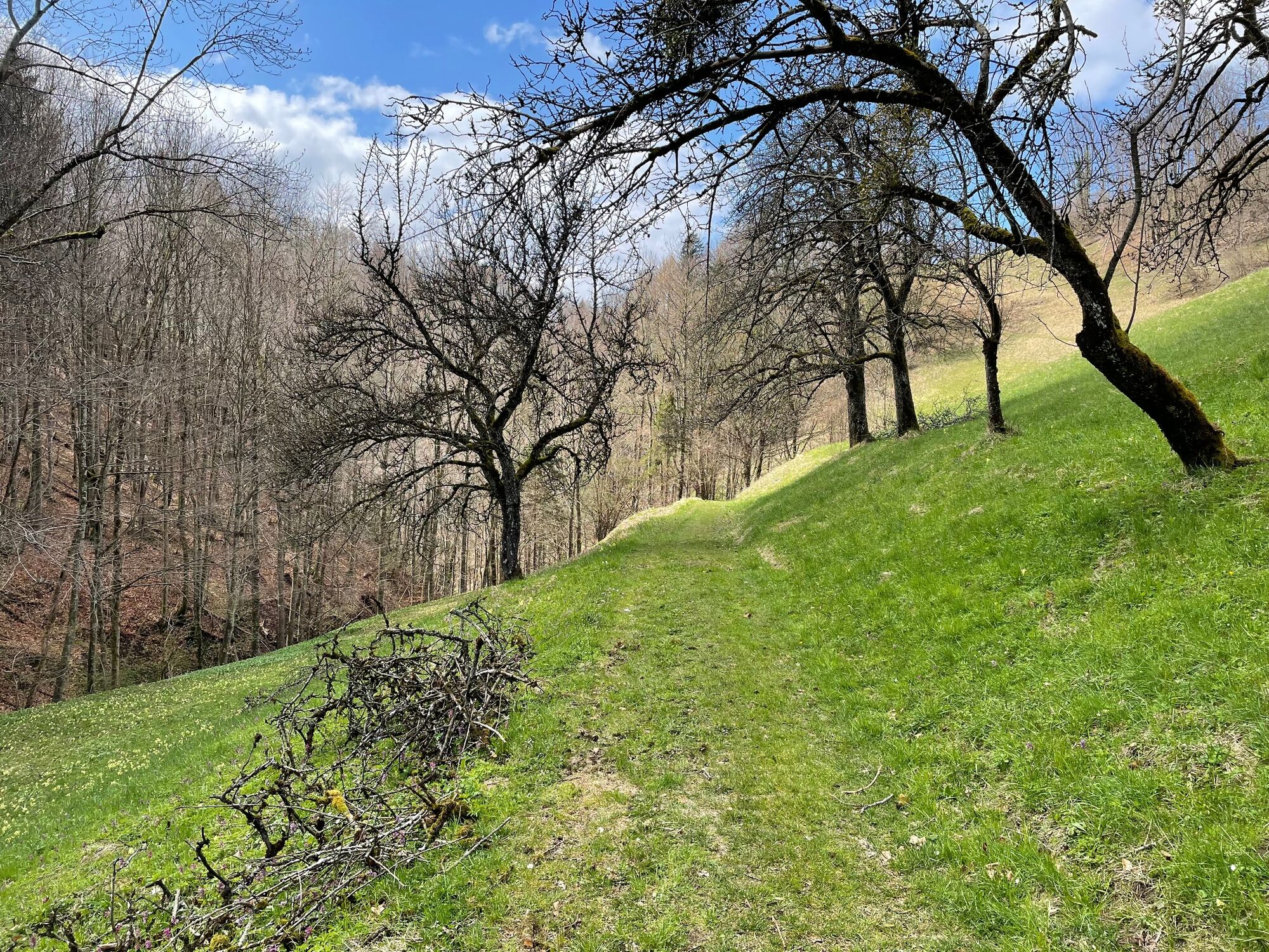
Circuit over the southern local mountains of Micheldorf on a length of 15.1km with 716Hm. The beautiful trail circles the Ochsenkogel on the prelate's path and leads over the Eustachiuskreuz up to the Hirschwaldstein. Down over the castle Altpernstein and a beautiful ditch to the center of Micheldorf.
- Directions
-
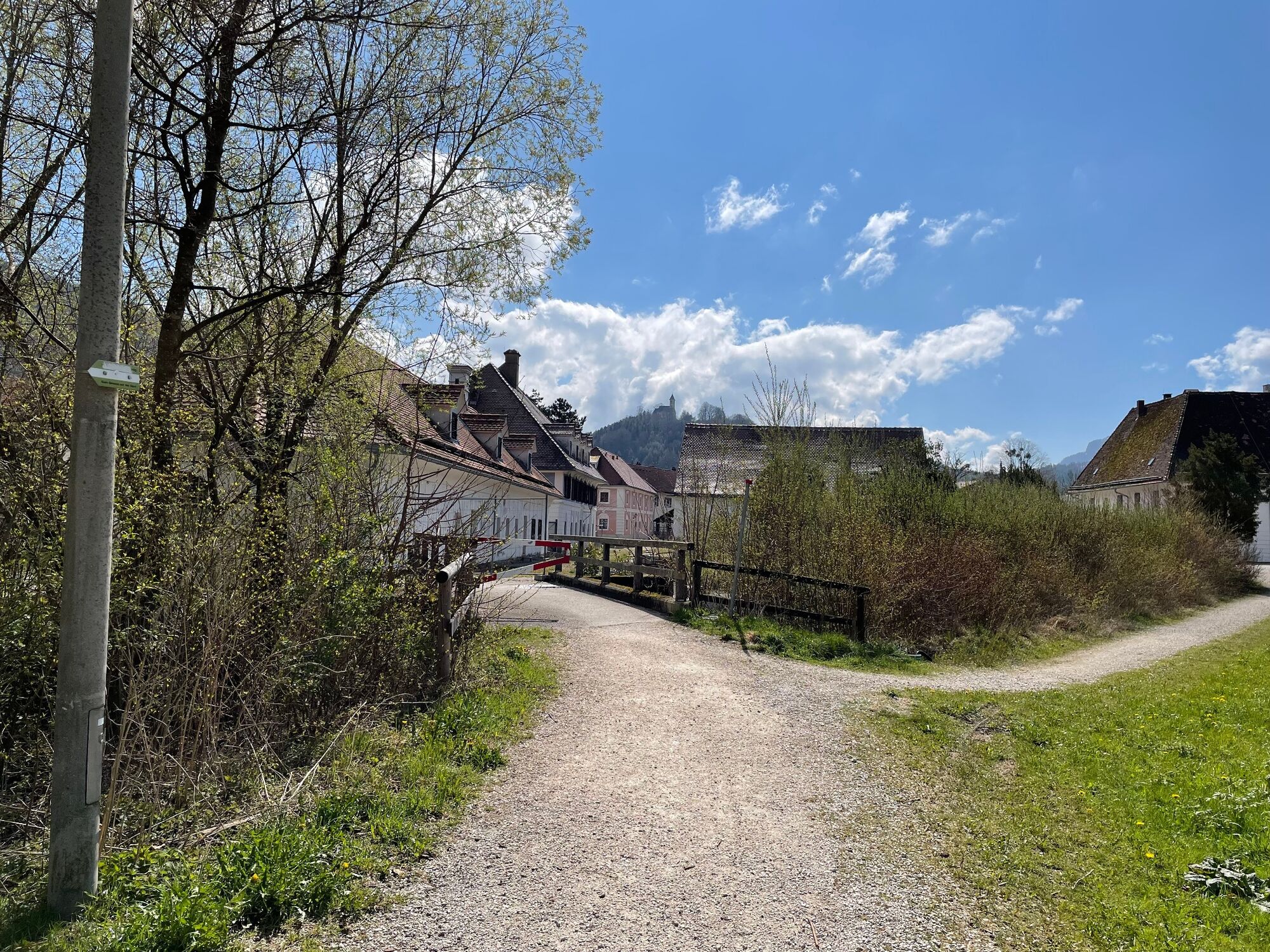
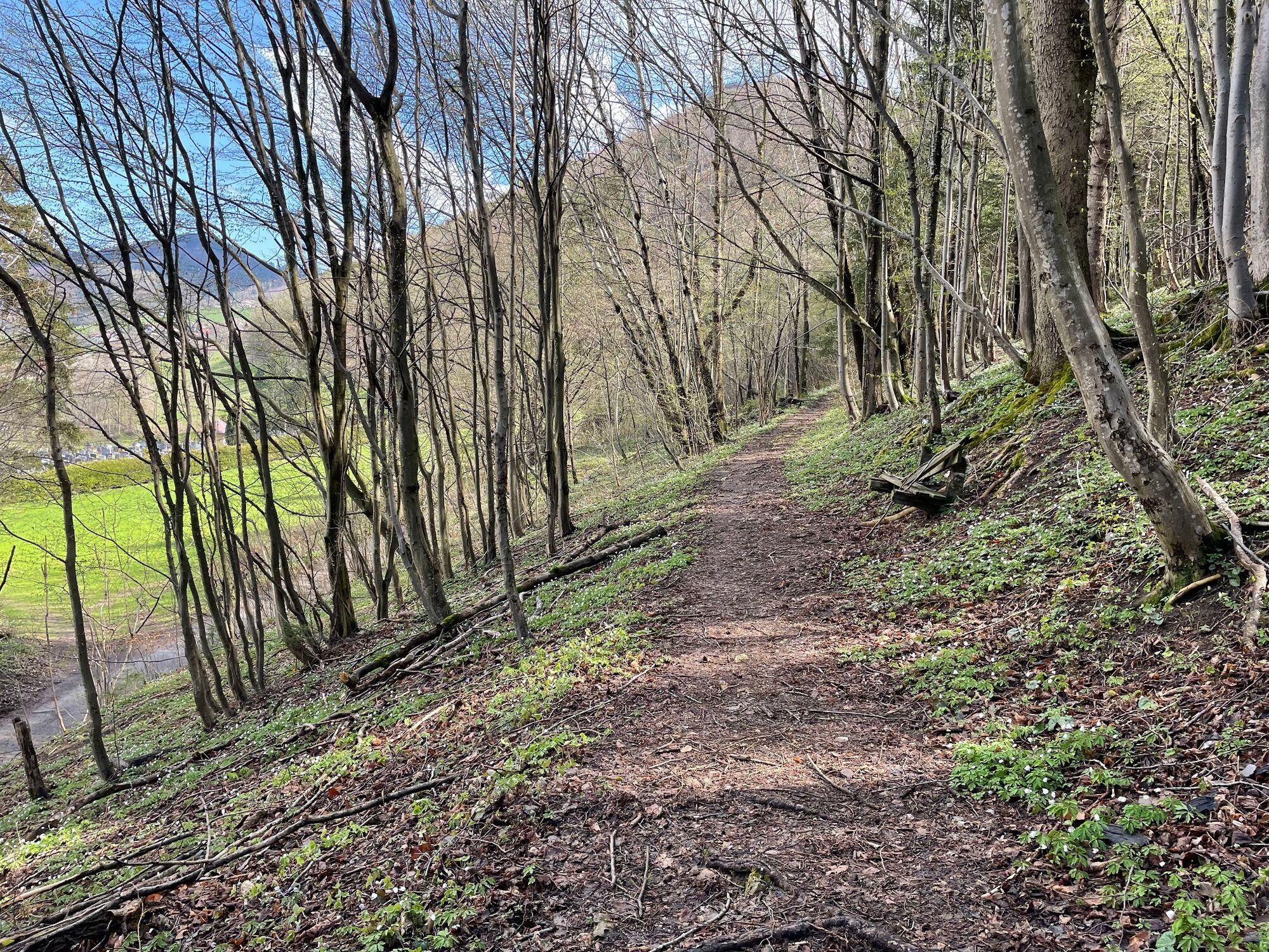
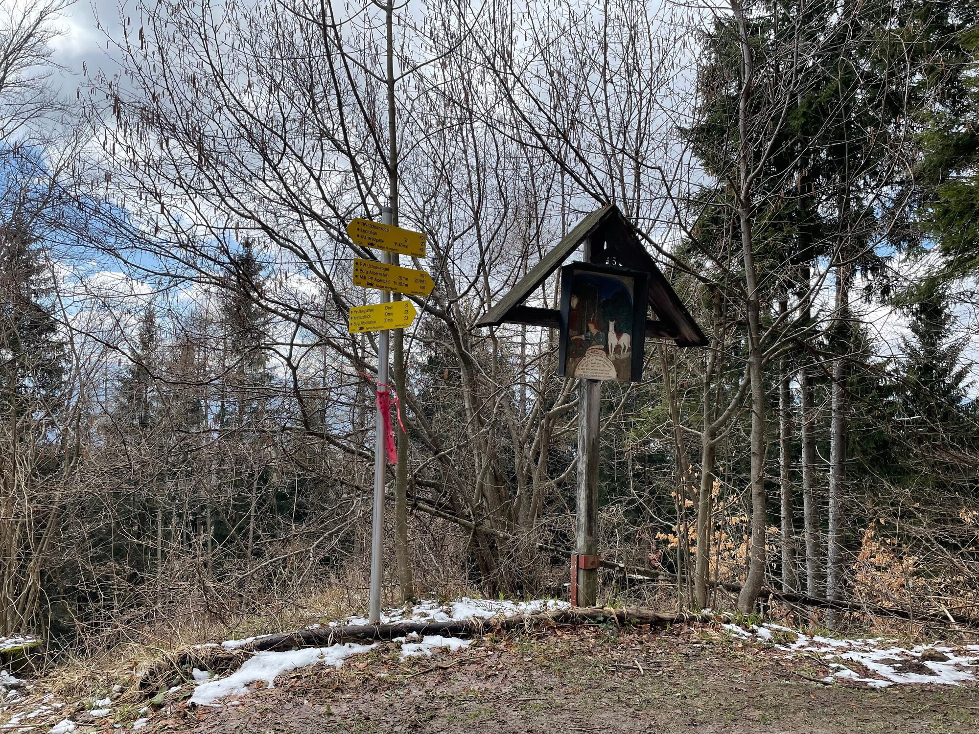
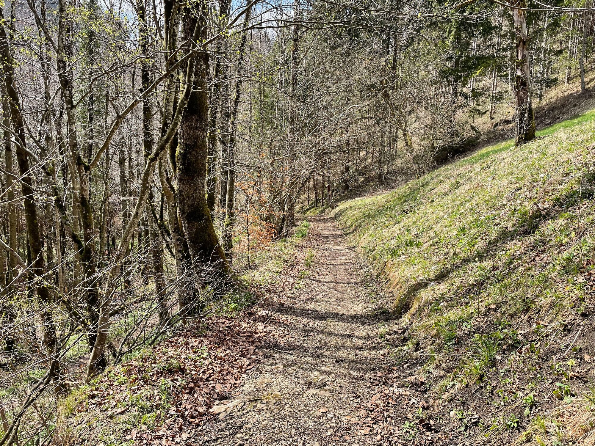
Beginn der Tour ist der Bahnhof in Micheldorf. Der Trail startet in Richtung rechts und gleich wieder links über die B138. Nach 100m verläuft der Weg vorbei am Sensenschmiede Museum entlang der Krems bis zu einer Brücke beim Cafe Schwarz. Diese wird überquert und rechts weiter auf der alten B138 bis es links Richtung Georgiberg geht. Nach ca.100m geht es parallel zur Straße auf einem Waldweg hinauf bis zur nächsten Querstraße. Weiter nach rechts hinauf zum Georgibergsattel. Ab hier folgt die Tour dem Wanderweg K92 bis zum Prälatenweg. Auf diesem bleibt der Trail bis zur nächsten Forststraße. Links weiter wird auf der Forststraße der Ochsenkogel umrundet.
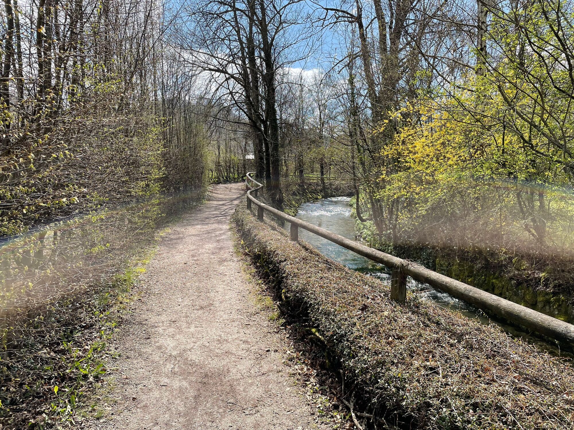
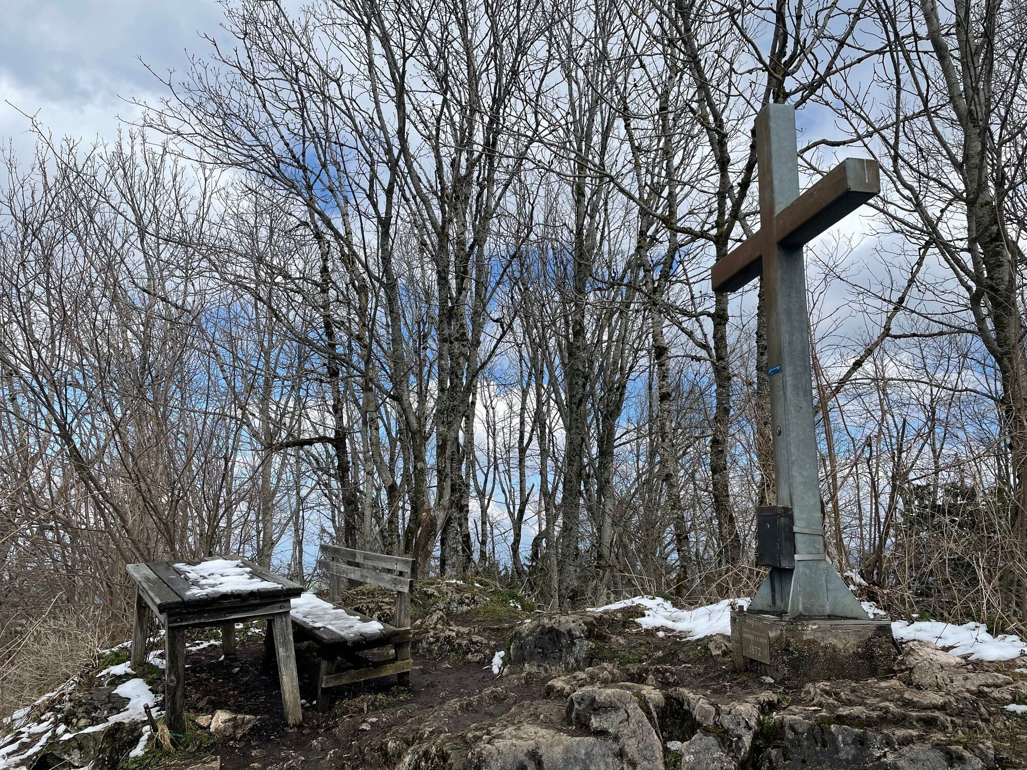
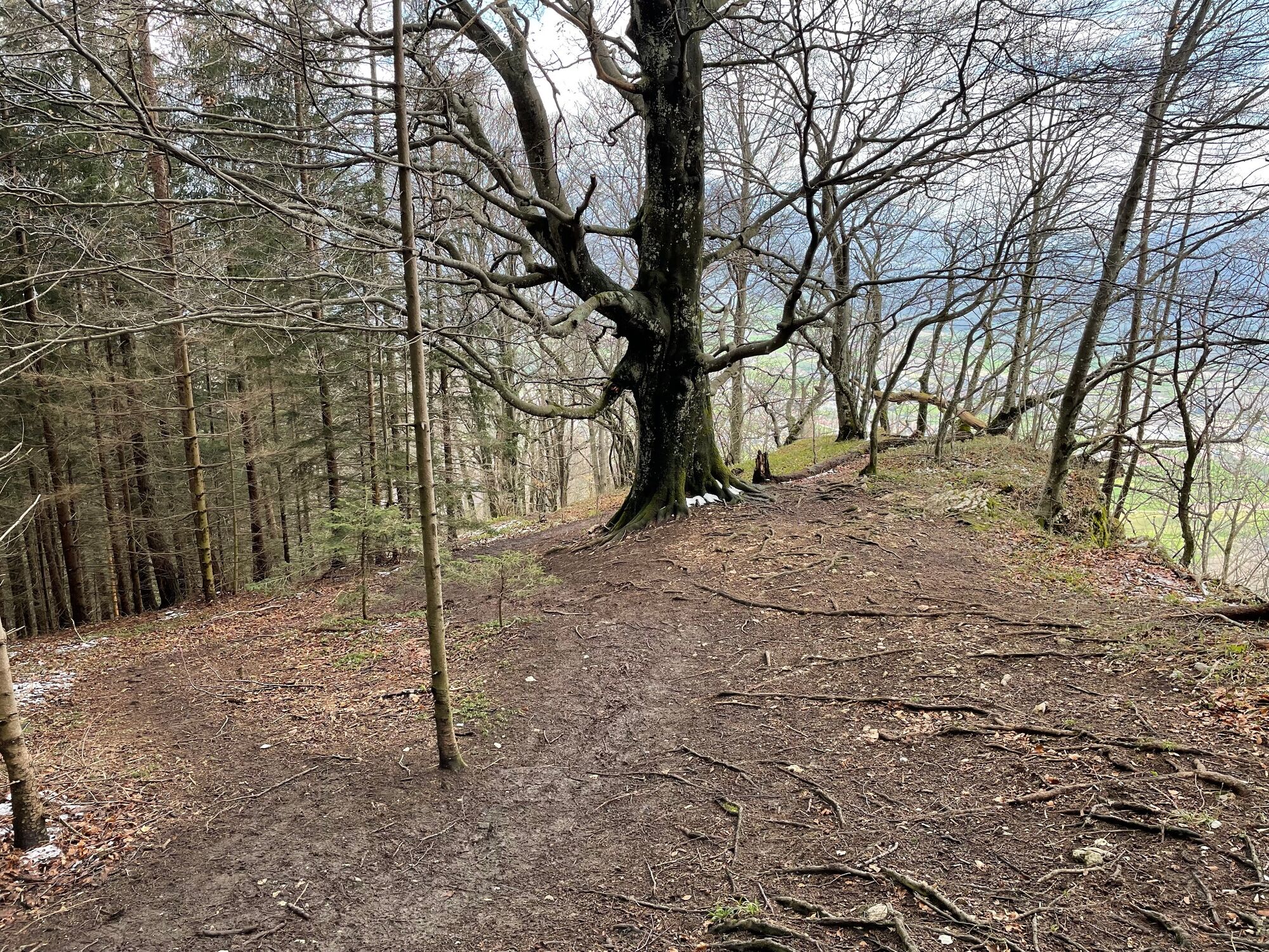
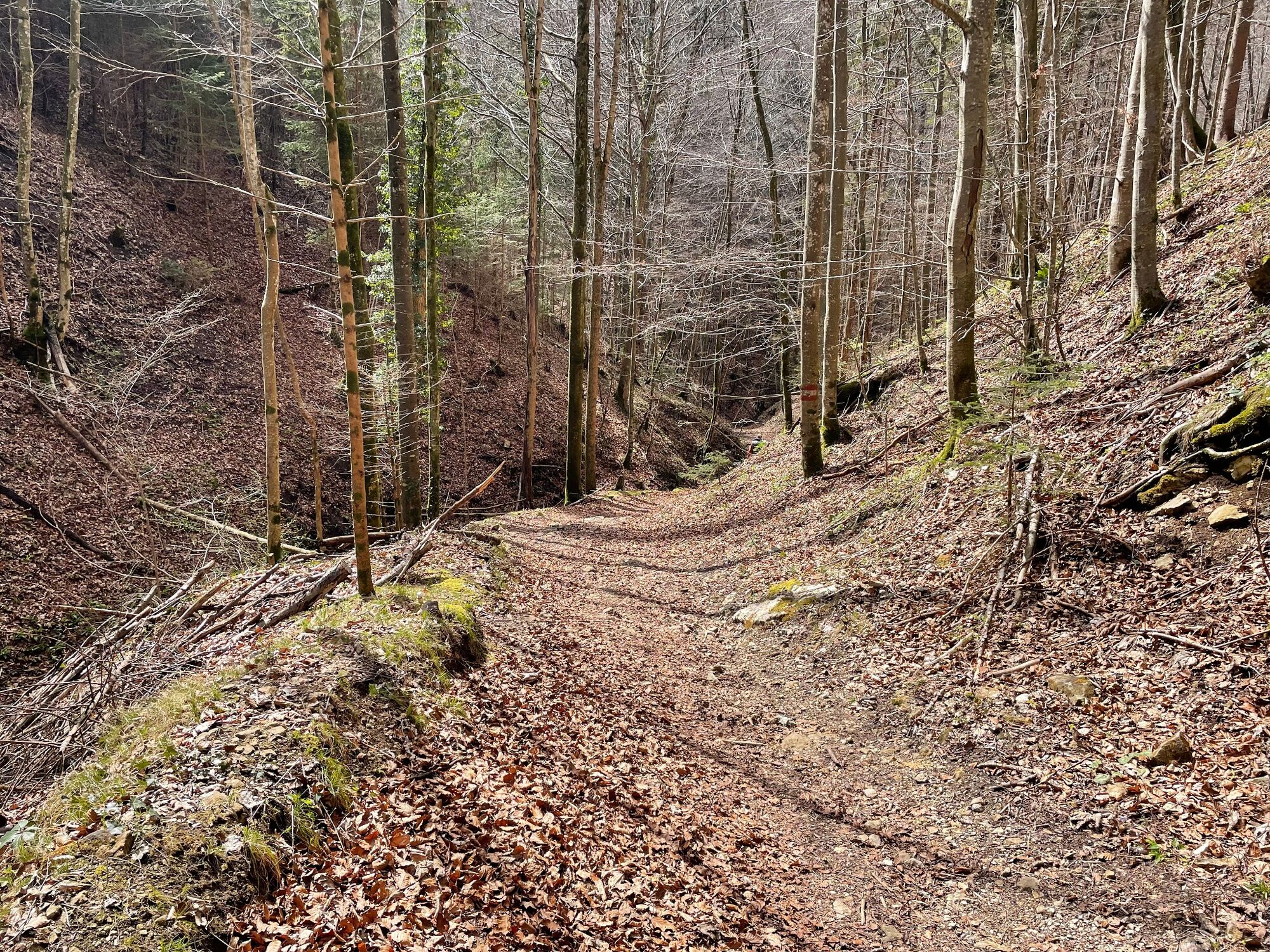
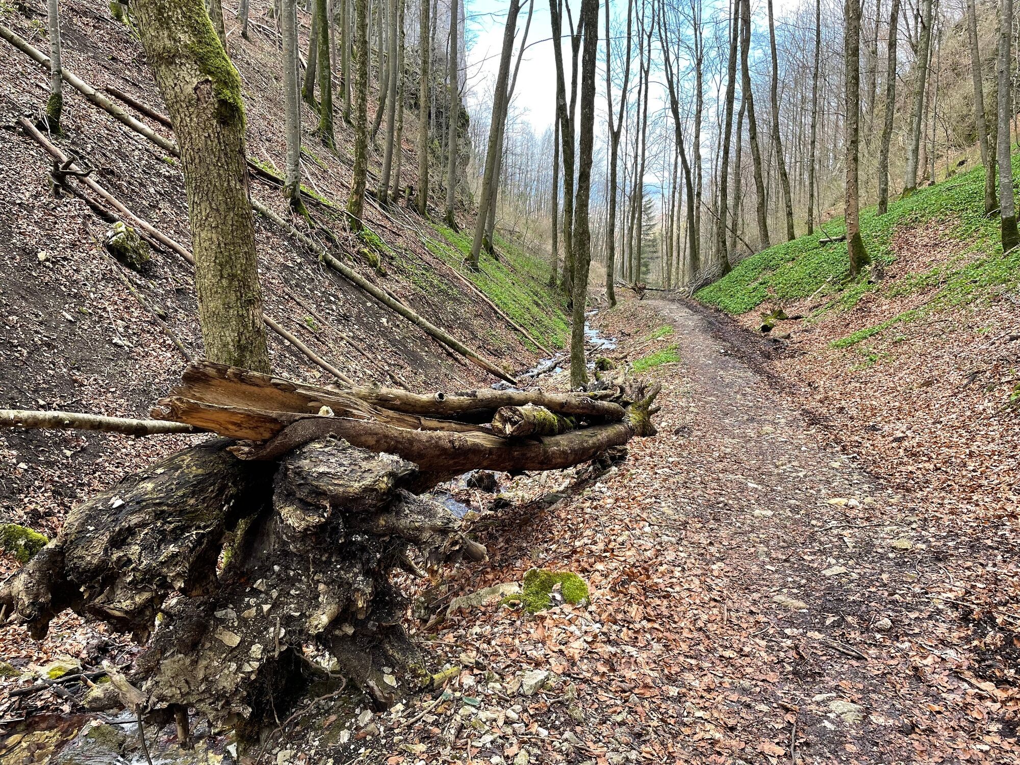
After the first, second and third crossroads, continue to the left and at the fourth crossroads turn right to the next saddle. From here, continue straight until you reach the Eustachius cross on the right. The tour continues on trail 23 to the top of the Hirschwaldstein. Down we stay on K23, but in the direction of Altpernstein Castle. Here we turn left and after about 300m we turn right again into the hiking trail 21/K91. Follow the path down the road until you reach the houses and continue in the direction of the ditch. On this we remain for approx. 1km parallel to a brook until again a street is reached. On the left down the first crossroad is just run over and at the next right over the bridge turned and then immediately again left further straight along the Gradnteich and the open-air swimming pool Micheldorf. Through a settlement it goes left on the Burgstraße further down towards the old B138. Cross this road and continue on it to the next intersection. Here, after about 200m, turn right and follow the Pyhrnpass road back to the Micheldorf train station.
- Highest point
- 1,070 m
- Endpoint
-
Micheldorf train station
- Height profile
-

- Equipment
-
The required equipment always depends on the particular tour and the weather conditions. Regarding the food: This is very individual and it is recommended to have rather too much than too little with equipment and food. For a 5km round in the valley you need less than for a demanding tour in the mountains. The weather can change quickly and if you are not constantly on the move or need to take a break, for example, warming clothing is of great importance.
We have a general checklist for you here:
Weather-appropriate running gear for the season - weather forecast - region - elevation. This includes:* a waterproof rain jacket
* a waterproof rain trousers suitable for running
* Gloves and warm headgear (hood/headband/towel).
* sunglasses + sunscreen + headgear for very warm days
Trail running shoes Drinking bottles, softflasks or a hydration bladder with enough liquid for the respective tour (if necessary also salt tablets/magnesium) Snacks for the energy boost in between: Energy bars, gels, chocolate, trail mix, Running backpack: ideally a trail running vest / a trail running backpack or a belly belt for small tours. Drypack: to keep your valuables or change of clothes dry (optionally a small garbage bag). Emergency blanket Small first aid kit. An Israeli bandage is highly recommended: this is a one-handed wound and pressure bandage. Details can be found here. Emergency whistle (often integrated in trail backpacks) Cell phone Maps (online and/or offline) E-card or insurance card Some cash Grödeln/Spikes: these can be a great advantage in winter and icy conditions. Folding poles for trail running Headlamp


- Author
-
The tour L3 Hirschwaldstein Trail - Micheldorf is used by outdooractive.com provided.


")