© Bad Birnbach - Kurverwaltung Bad Birnbach

© Bad Birnbach - Kurverwaltung Bad Birnbach

© Bad Birnbach - Kurverwaltung Bad Birnbach

© Bad Birnbach - Kurverwaltung Bad Birnbach

© Bad Birnbach - Kurverwaltung Bad Birnbach

© Bad Birnbach - Kurverwaltung Bad Birnbach

© Bad Birnbach - Kurverwaltung Bad Birnbach

© Bad Birnbach - Kurverwaltung Bad Birnbach

© Bad Birnbach - Kurverwaltung Bad Birnbach

© Bad Birnbach - Kurverwaltung Bad Birnbach
- Brief description
-
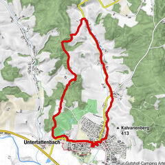
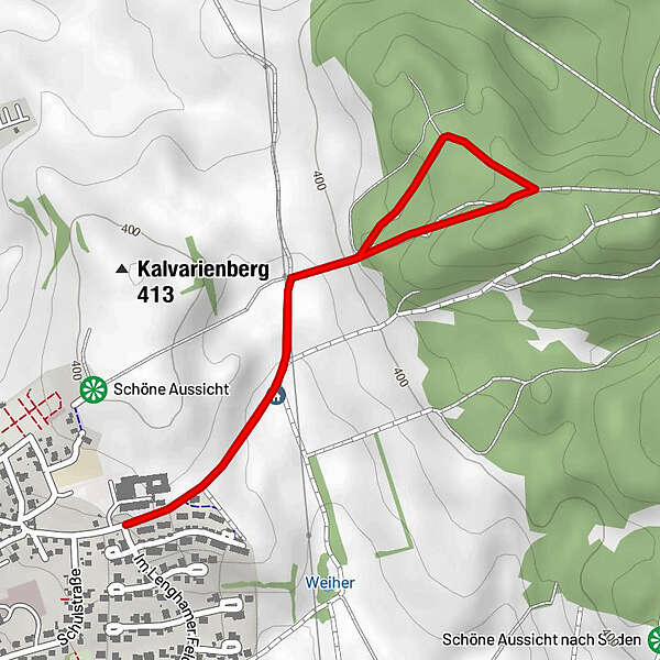
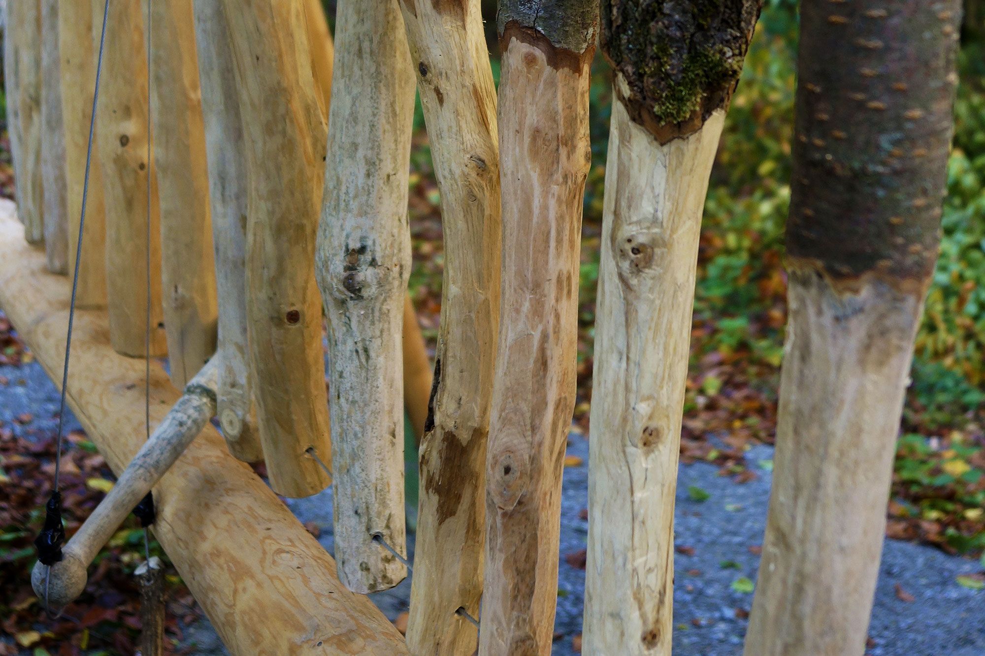
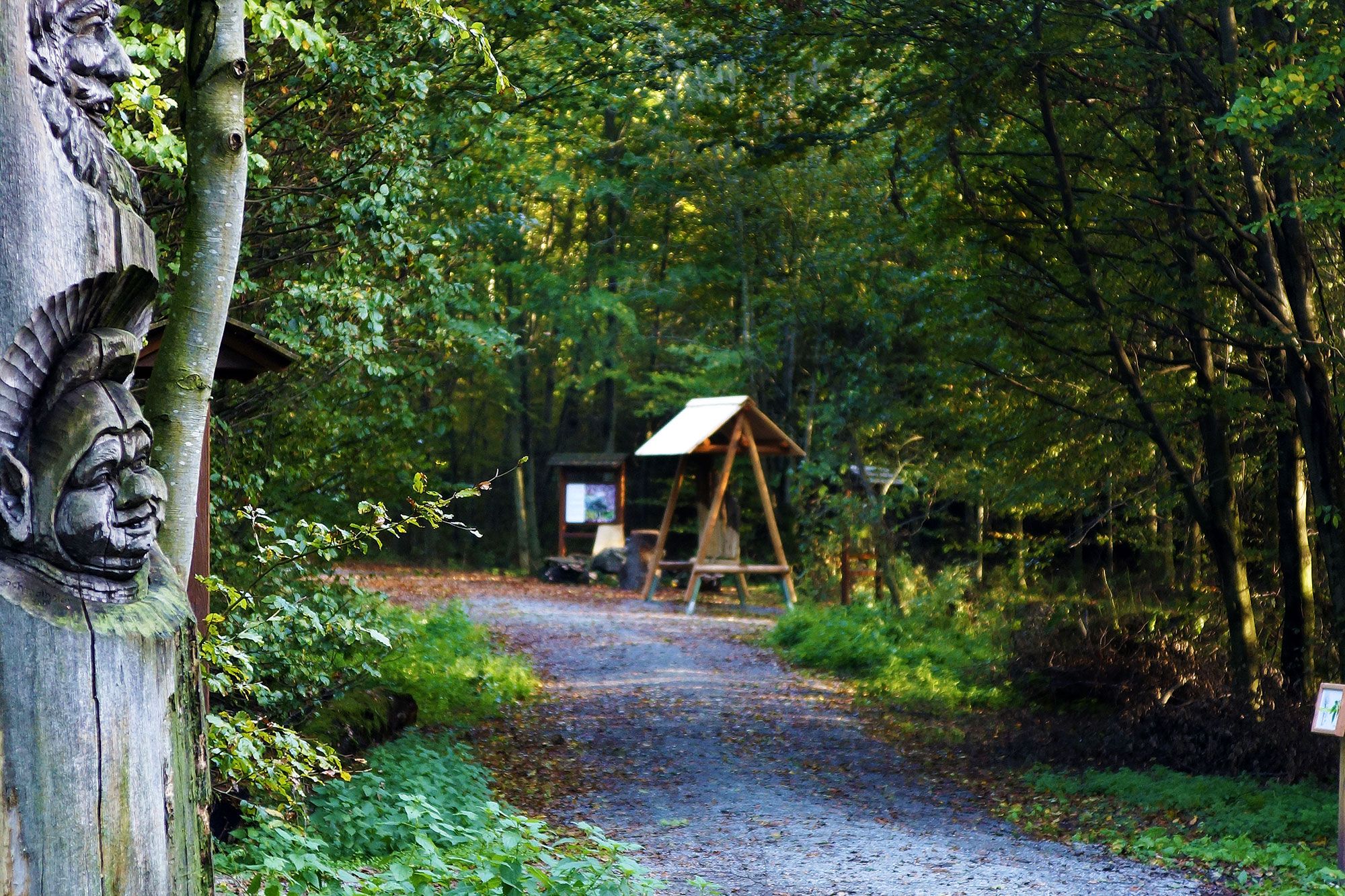
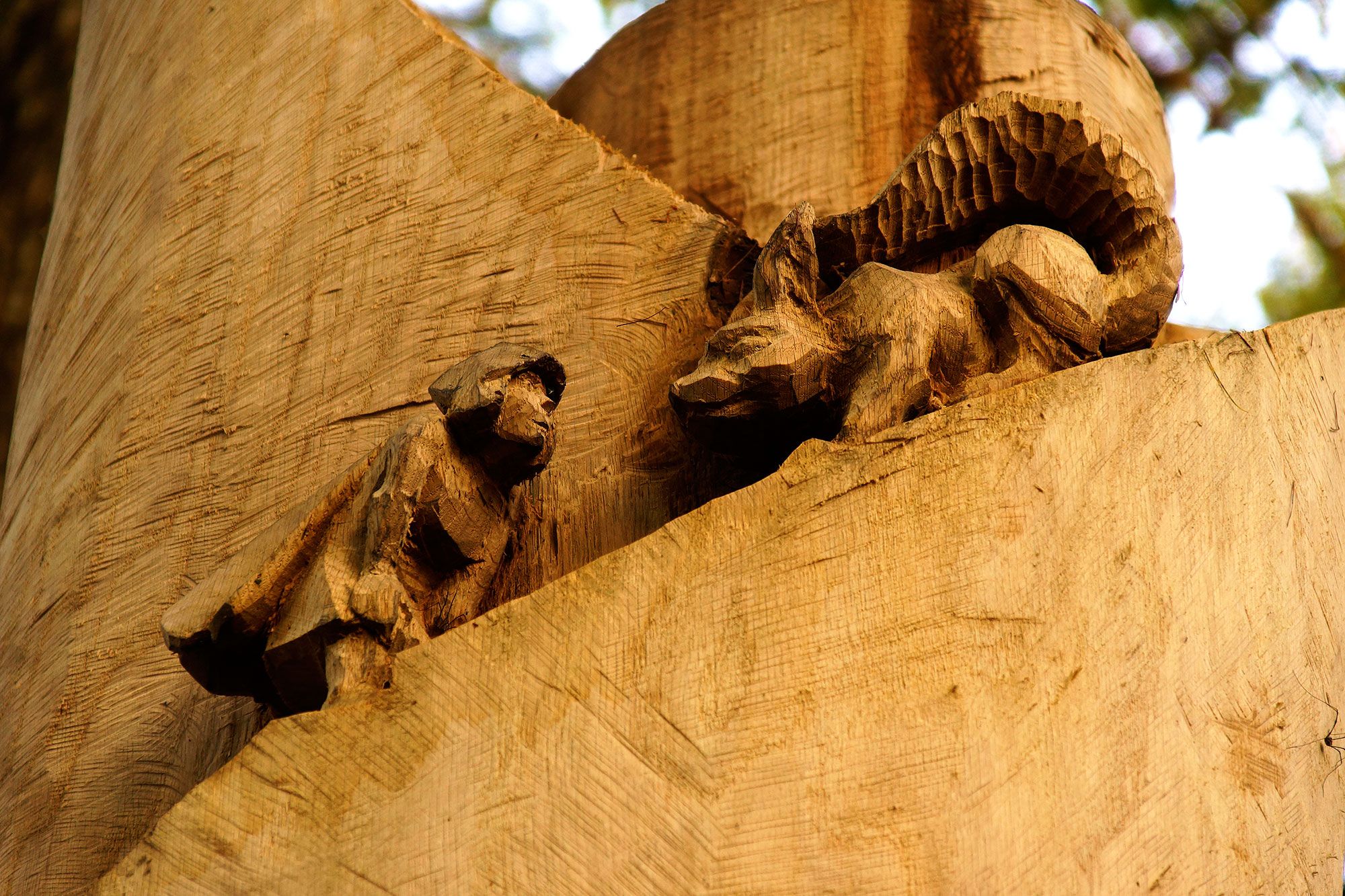
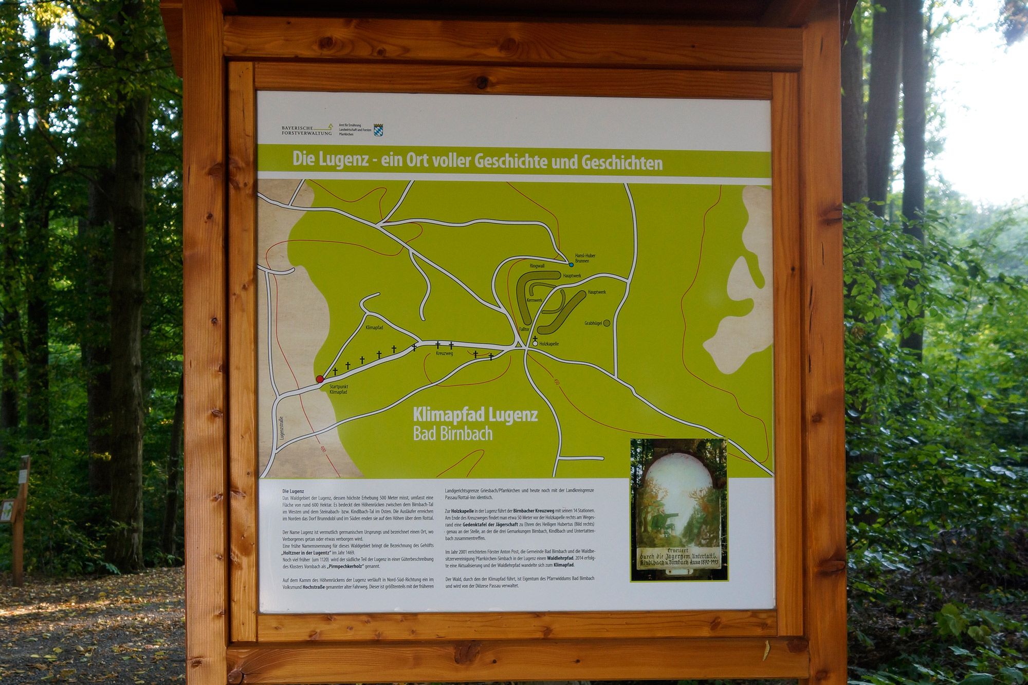
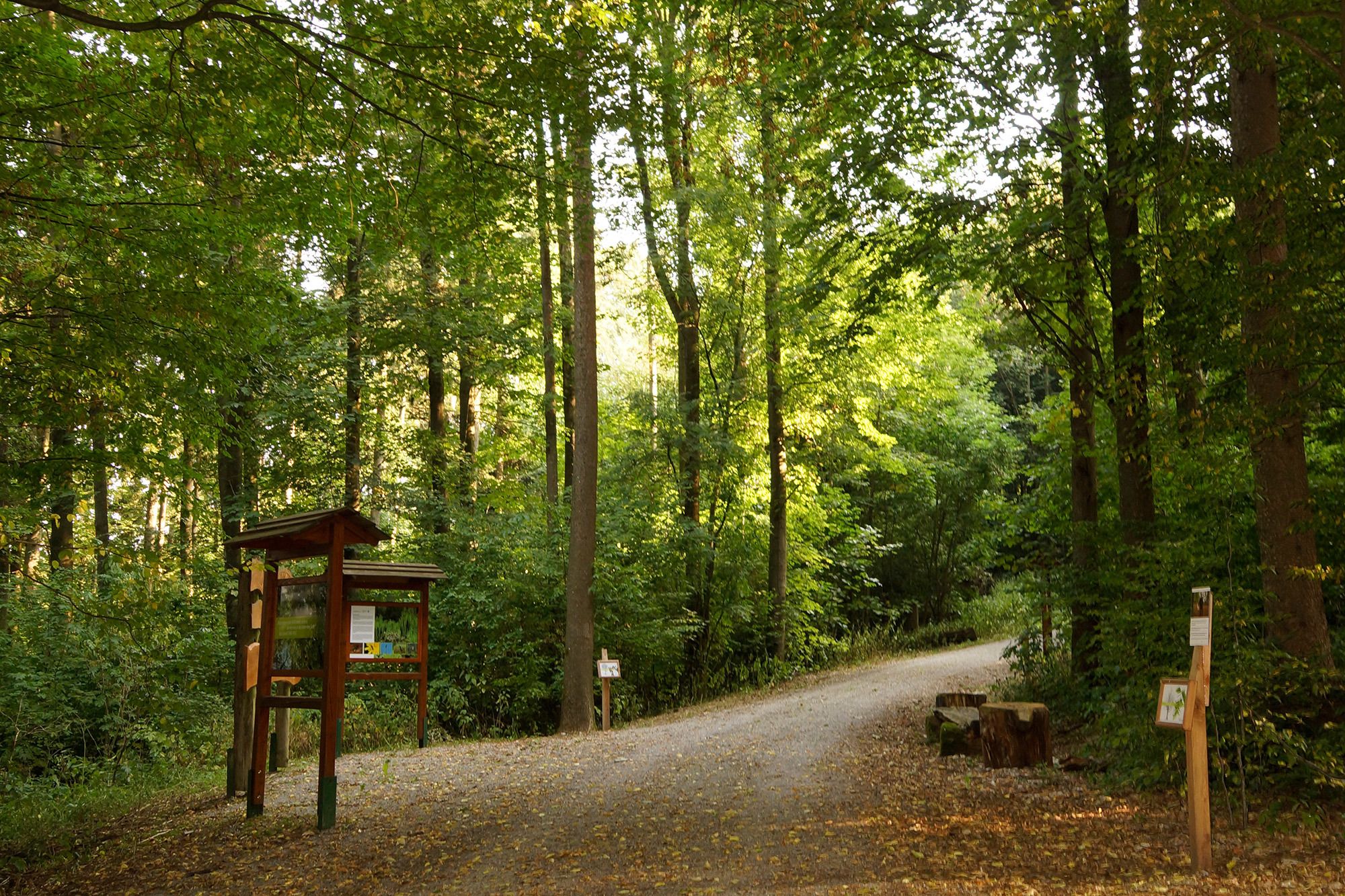
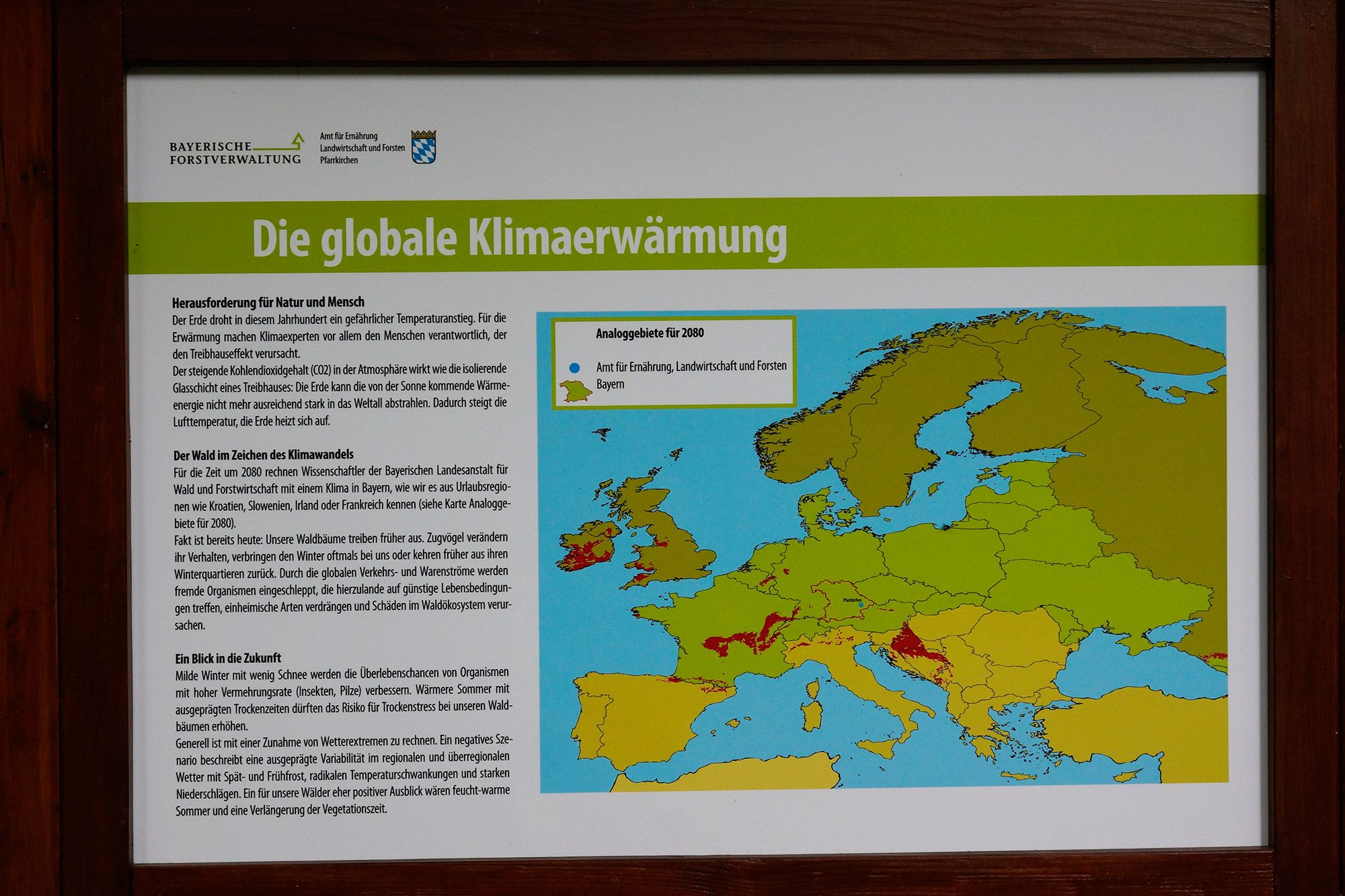
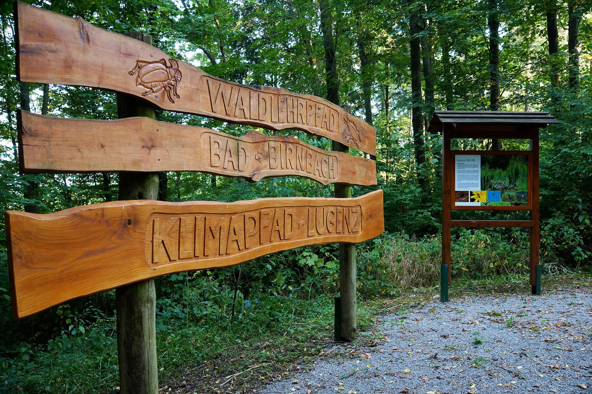
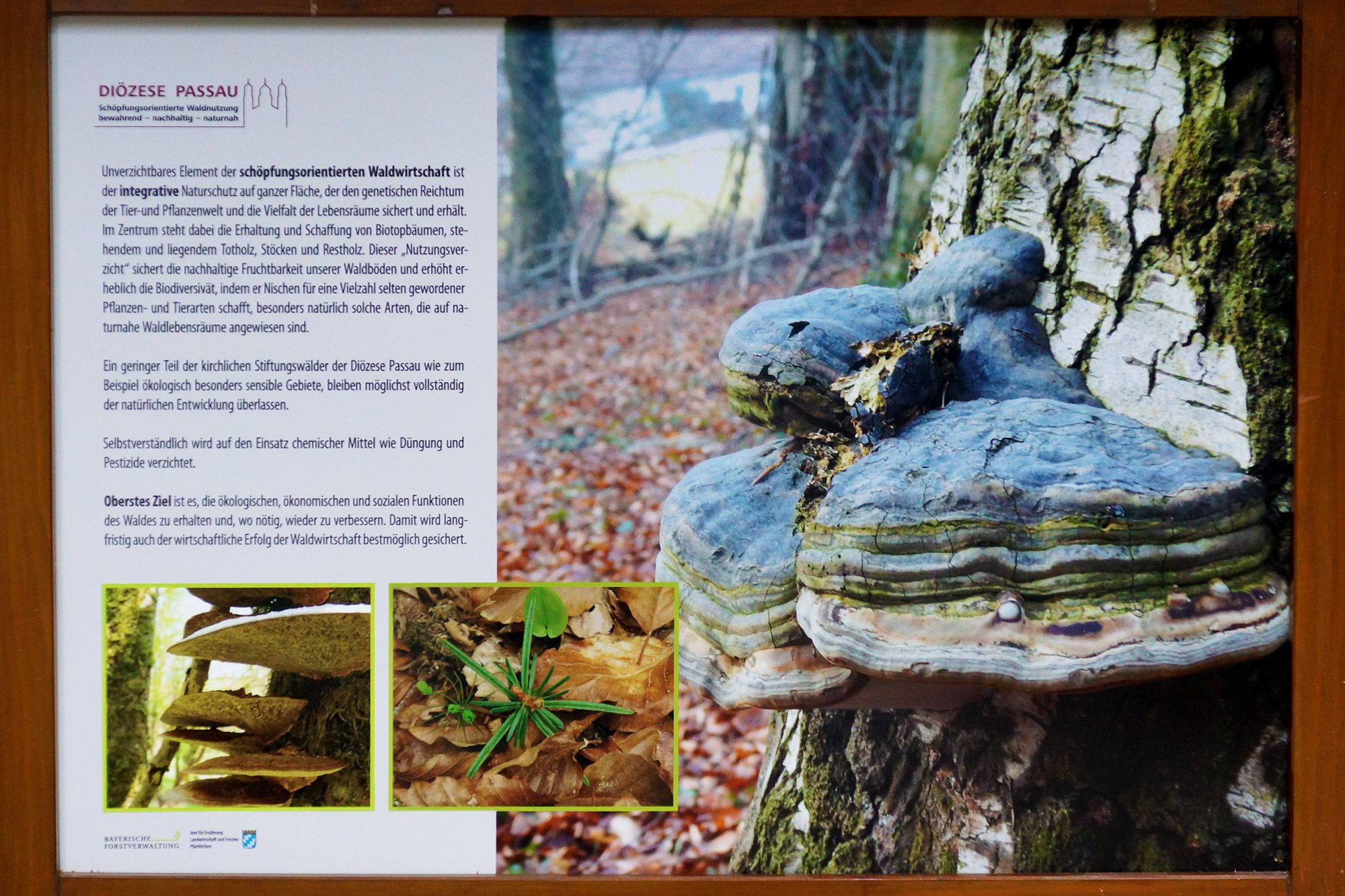
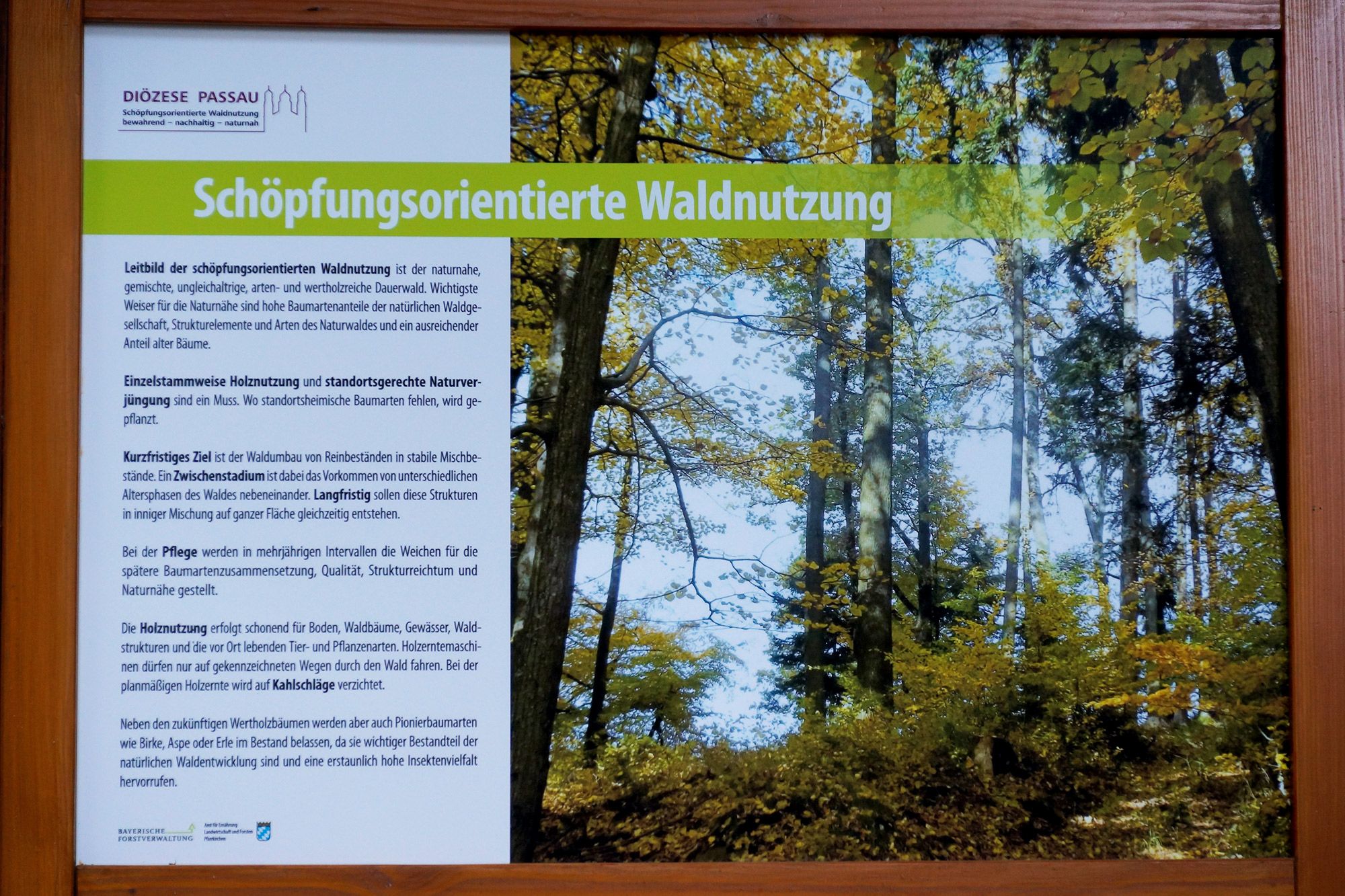
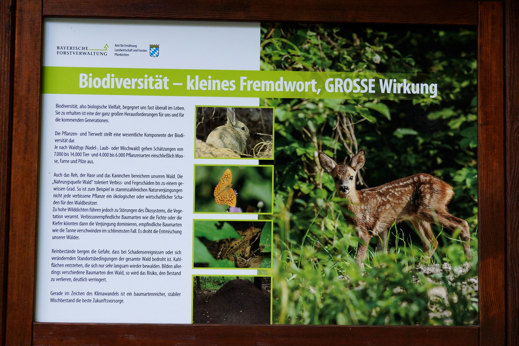
Diese Themenrunde führt sie entlang des Klimapfades in der Lugenz
- Difficulty
-
medium
- Rating
-
- Route
-
Bad Birnbach
- Best season
-
JanFebMarAprMayJunJulAugSepOctNovDec
- Highest point
- 443 m
- Endpoint
-
Parkplatz der Grund- und Mittelschule Bad Birnbach
- Height profile
-
 © outdooractive.com


-

-
AuthorThe tour Klimapfad Lugenz is used by outdooractive.com provided.
GPS Downloads


Other tours in the regions
-
Innviertel
797
-
Ferienregion Rottal-Inn
185
-
Bad Birnbach
104