© Bad Birnbach - Kurverwaltung Bad Birnbach
- Route
-
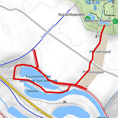
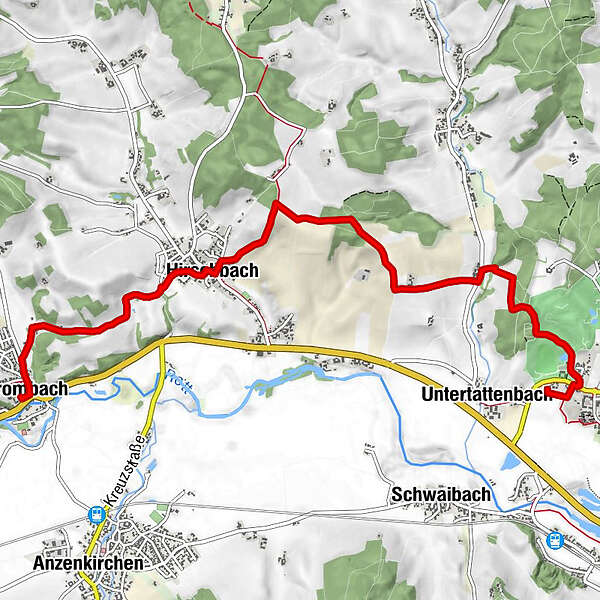
Aunham0.1 kmBad Birnbach0.4 kmKynoten1.9 kmKager2.6 kmHirschbach5.0 kmStockbauer6.7 kmGraf Arco Hof7.5 kmBrombach7.5 km
- Highest point
- 445 m
- Height profile
-
 © outdooractive.com
-
-
AuthorThe tour Rottaler Jakobsweg is used by outdooractive.com provided.
GPS Downloads


Other tours in the regions
-
Innviertel
797
-
Ferienregion Rottal-Inn
185
-
Bad Birnbach
104