Tour data
18.12km
854
- 2,189m
1,301hm
1,337hm
04:11h
- Brief description
-
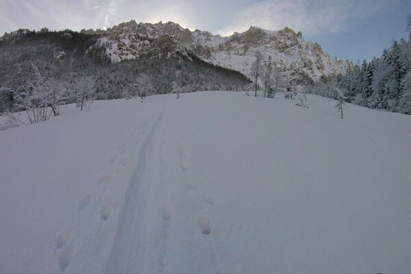
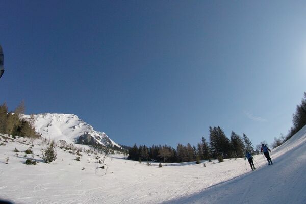
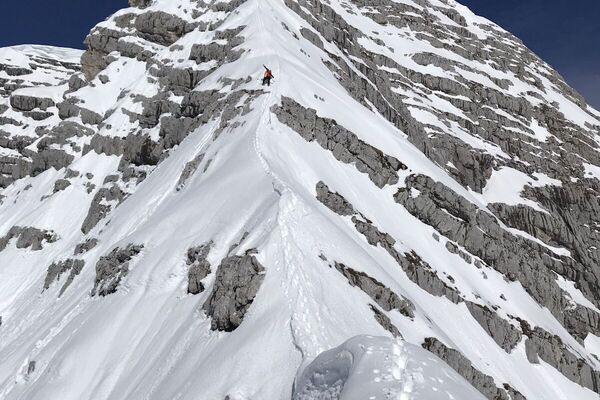
Schöne, konditionell und abfahrtechnisch anspruchsvolle Tour über das obere Loigistal zum Torstein
- Difficulty
-
difficult
- Rating
-
- Route
-
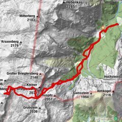
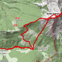
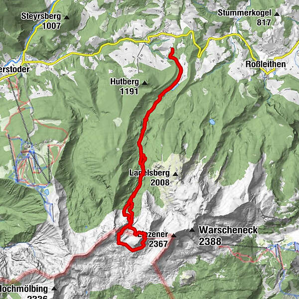
Lahnboden3.7 kmOberes Loigistal5.9 kmWetterlucken7.7 kmTorstein (2,243 m)9.4 kmLahnboden13.5 km
- Best season
-
AugSepOctNovDecJanFebMarAprMayJunJul
- Highest point
- Torstein (2,189 m)
- Exposition
- Videos
-
 10:334 years ago
GPS Downloads


Other tours in the regions