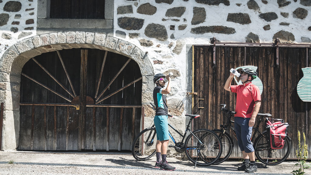
© Oberösterreich Tourismus GmbH/Susanne Einzenberger

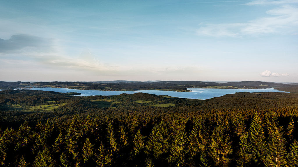
© Oberösterreich Tourismus GmbH/Ulrike Preinfalk

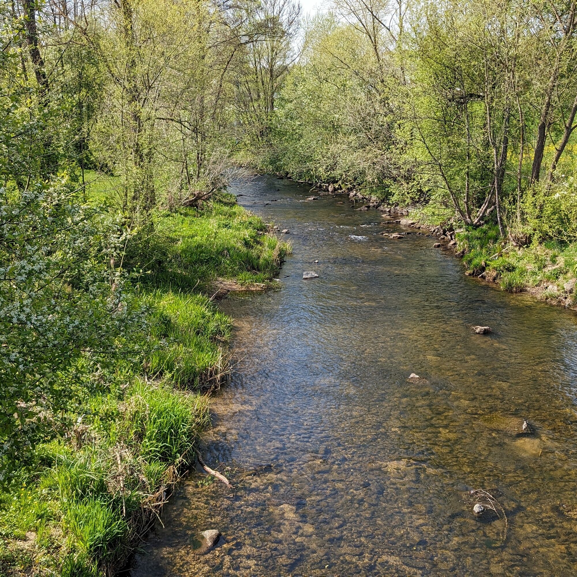
© Oberösterreich Tourismus GmbH/Moritz Ablinger

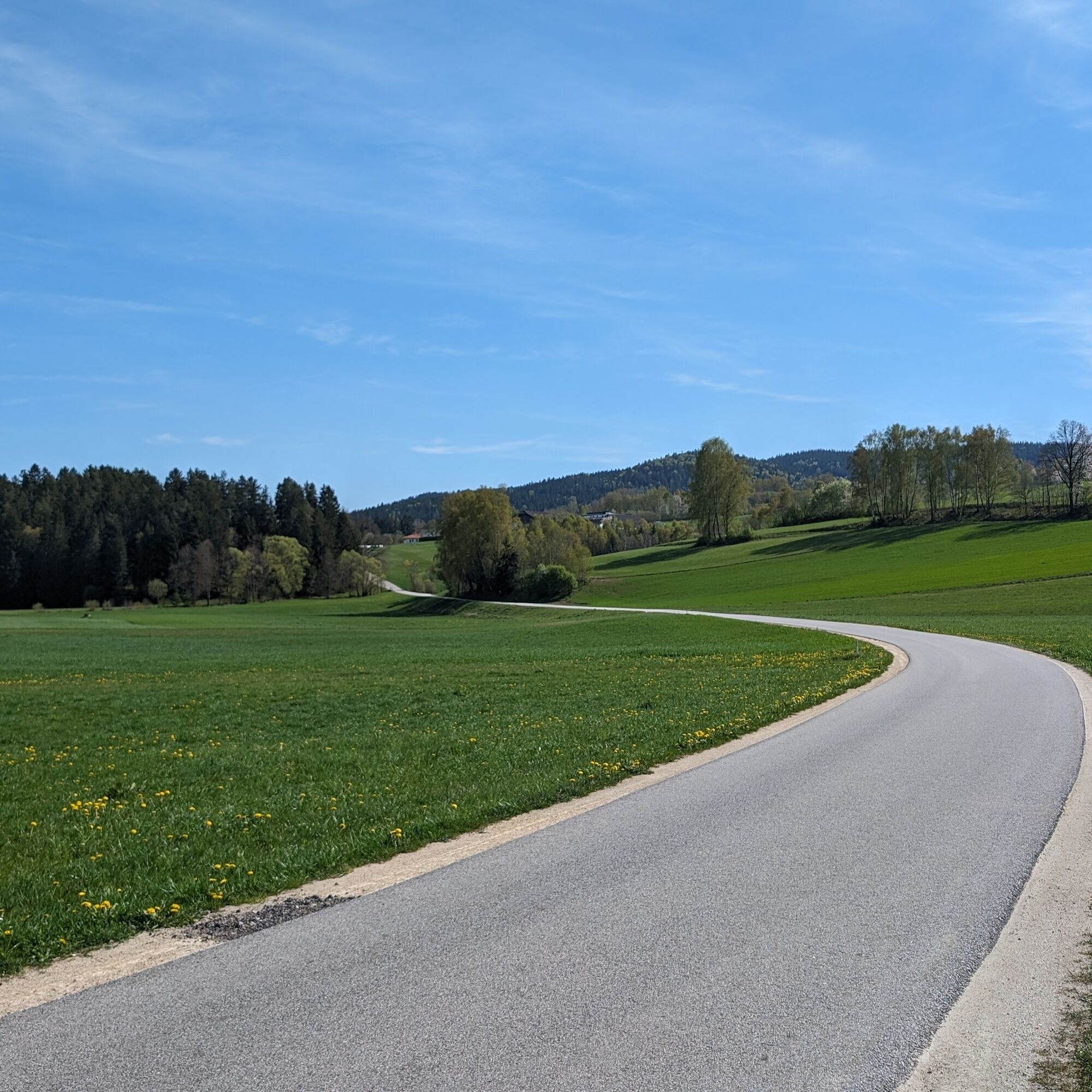
© Oberösterreich Tourismus GmbH/Marco Mestrovic

© Johannes Auer

© Johannes Auer
- Brief description
-
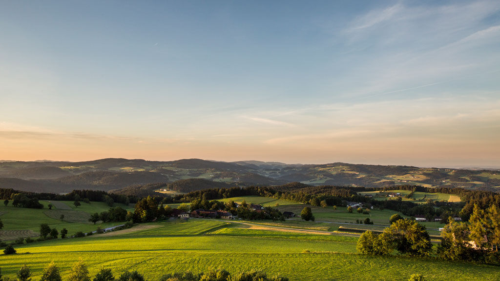
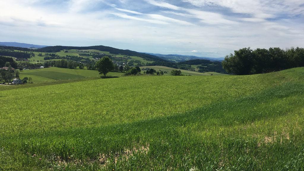
By taking the Mühlviertel Bike Path, you will be immediately immersed in the mysterious and mystic granite landscape north of the Danube.
- Difficulty
-
medium
- Rating
-
- Route
-
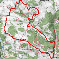
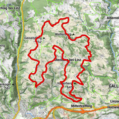
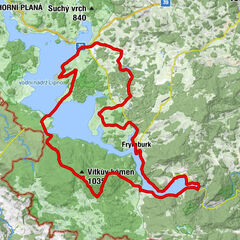
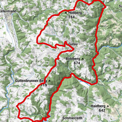
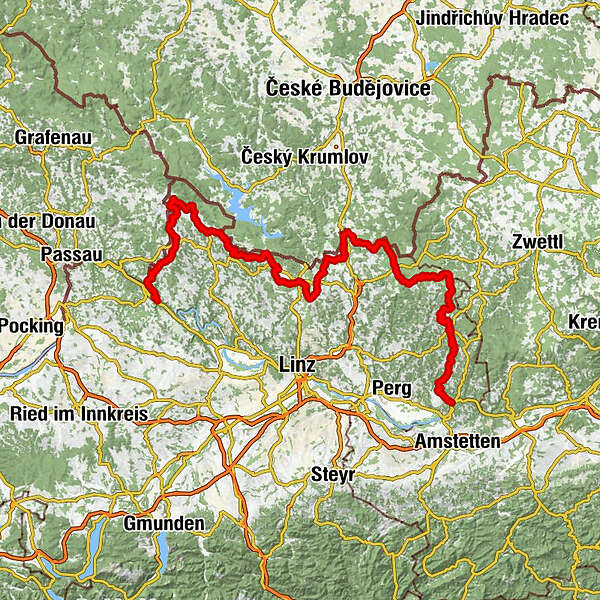
Rannariedl2.4 kmDorf3.6 kmPühret5.1 kmGroßmollsberg6.2 kmKleinmollsberg6.7 kmHaitzendorf8.1 kmTurm (642 m)8.8 kmGasthaus Wundsam10.0 kmNeustift im Mühlkreis10.0 kmHubertuskapelle10.5 kmOberaschenberg12.0 kmOberkappel14.2 kmOsterwasser15.1 kmHochödt17.7 kmMistlberg22.1 kmKollerschlag23.7 kmNebelberg26.6 kmStift am Grenzbach27.7 kmGasthof Greiner31.3 kmKohlstatt31.4 kmSchiffler Kapelle32.1 kmBräuerau35.1 kmHinteranger41.4 kmWaldkapelle43.2 kmPanidorf44.9 kmSchönberg45.4 kmSchönbergkapelle45.5 kmMülleder47.8 kmKlaffer am Hochficht47.9 kmFreundorf49.3 kmPfaffetschlag50.1 kmLichtenberg52.6 kmHotel Böhmerwaldhof54.2 kmUlrichsberg54.3 kmPfarrkirche Ulrichsberg54.3 kmUlrichsberger Hof54.4 kmKapelle Erlet55.1 kmErlet55.2 kmMühlwald56.2 kmZaglau57.9 kmKerschbaum59.1 kmAigen-Schlägl61.3 kmAigen im Mühlkreis61.7 kmPfarrkirche Aigen61.7 kmBaureith63.3 kmWurmbrand64.7 kmGünterreith66.2 kmSattling67.4 kmSankt Oswald bei Haslach68.3 kmKirche St.Oswald68.3 kmAlmesberg69.1 kmUnterurasch71.1 kmHochhausen73.7 kmHinternberg75.7 kmGmain77.7 kmInnenschlag78.7 kmOberafiesl81.8 kmUnterafiesl82.8 kmKöckendorf84.1 kmGuglwald86.5 kmGedächtniskapelle Guglwald86.6 kmehemalige Kapellner Waldhäuser86.6 kmSchönegg88.3 kmHinterweißenbach90.1 kmVorderweißenbach92.5 kmKirche Vorderweißenbach92.5 kmBräugasthof Mascher92.6 kmSchmankerlwirt92.8 kmBrunnwald98.4 kmSpielau102.8 kmMaria Schutz am Bründl Kirche103.2 kmFarb103.2 kmBad Leonfelden103.6 kmPfarrkirche Bad Leonfelden103.6 kmHewal103.6 kmLeonfeldner Hof103.7 kmSpitalkirche103.8 kmPizza & Kebap Haus103.9 kmBurgfried104.0 kmHabruck109.3 kmLiebenschlag111.1 kmSteinschild111.9 kmSchenkenfelden113.5 kmVorderkönigschlag115.4 kmHinterkönigschlag117.0 kmGasthof Preinfalk119.5 kmGasthaus Kreuzer119.6 kmReichenthal119.6 kmPfarrkirche Reichenthal119.6 kmLiebenthal121.1 kmStiftung122.5 kmSüßmühle123.9 kmEdlbruck133.4 kmEisenhut134.8 kmLeopoldschlag141.9 kmPfarrkirche Leopoldschlag142.3 kmHammern145.7 kmGasthaus Affenzeller148.0 kmMairspindt148.2 kmGasthaus Steininger148.2 kmUnterwald152.4 kmHacklbrunn157.2 kmSandl160.2 kmRindlberg163.8 kmSaghammer169.1 kmHüttenberg174.1 kmMaxldorf175.2 kmLiebenau (970 m)179.1 kmPfarrkirche hl. Josef179.2 kmHotel Rockenschaub (1,000 m)179.3 kmGasthaus Gattringer179.4 kmSchanz180.4 kmSchanz181.7 kmRuben190.0 kmGlashüttenkreuz196.7 kmWildberg198.6 kmHarlingsedt203.3 kmUnter der Leithen204.7 kmSchwarzmühle208.5 kmKönigswiesen209.0 kmSchlag213.5 kmRiedersdorf220.1 kmKapelle Riedersdorf220.1 kmUnter-Eisendorf222.2 kmKapelle Maria-Hilf229.9 kmGasthof zur Zugbrücke230.5 kmBad Kreuzen230.5 kmPfarrkirche Bad Kreuzen230.5 kmKirchenwirt230.6 kmWürzenberg236.1 kmGrein238.6 km
- Best season
-
JanFebMarAprMayJunJulAugSepOctNovDec
- Description
-
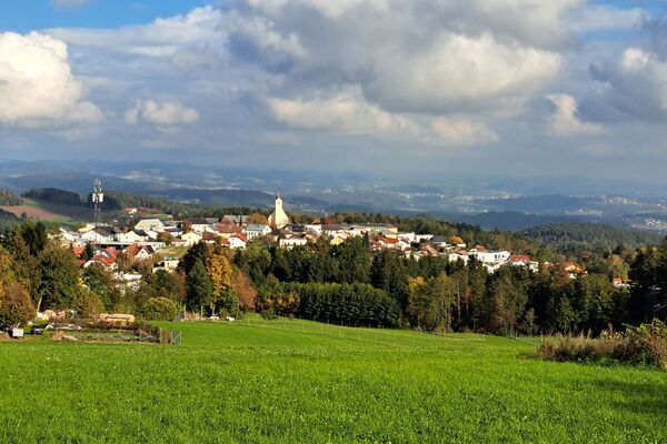
The bike path offers athletic bikers one challenging incline after another. At its starting point in Kramesau, it is connected to the Danube Bike Path, and you will have to really pump those pedals right on the first leg to Neustift, since you will be leaving the lowlands of the Danube Valley and entering the highlands of the Mühlviertel. In the Bohemian Forest, you will finally reach the border to the Czech Republic. Aigen-Schlägl, with its grand Premonstratensian Canonical Monastery, and Schwarzenberg, with its park for wooden sculptures, are your next stations on the way to Haslach, which is known as a textile market. A special museum provides information about the long tradition of linen weaving. You will continue on towards the east and arrive in Bad Leonfelden, where the moor and the teachings of Father Kneipp generate positive health effects. At the Schulmuseum (School Museum) and Schwedenschanze (Swedish Redoubt), you can also let the spirit of the past take its effect on you. You should also stop off in Windhaag near Freistadt. This is the village where composer Anton Bruckner, who would later become famous, worked as a teacher, and the Brucknerstüberl in the Old Schoolhouse reminds visitors of this fact. The town of Sandl is also located along the Mühlviertel Bike Path and is a hub for rural reverse-glass painting. At the Hinterglasmuseum (Reverse-Glass Museum), you can discover the secrets of this form of art. After passing Rosenhof Palace, with its picturesque ponds, you will arrive in Liebenau. A few kilometres later, you will have the opportunity to turn east in order to continue further into the Waldviertel. The Mühlviertel Bike Path itself now turns towards the south and leads along the border to Lower Austria to the romantic little Danube city of Grein, with its lovely Greinburg Palace and city theatre rich in curios. At this point, there is also a junction with the Danube Bike Path.
Route number: R5 - Highest point
- 991 m
- Height profile
-

- Additional information
- Directions
-
Travelling by car:
Linz or Wels - Eferding or Aschach - towards Passau - Donaubrücke Niederranna - Neustift i.M
Coming from Germany:
Motorway exit Passau/Nord - Obernzell - Untergriesbach - (border crossing) Neustift ob der Donau.
Nearest railway station in Austria:
Rohrbach (Mühlkreisbahn)
or Linz (central railway junction)
Nearest railway station in Germany:
Passau
Travelling by ship:
possible at the shipping piers in Linz or Passau (Germany)
Possibilities for getting on or off between Obernzell (Germany) and Schlögen (Austria) (Wurm & Köck shipping company)
The starting point is located south of the municipality in Kramesau.
- Author
-
The tour Mühlviertel Bike Path R5 is used by outdooractive.com provided.
GPS Downloads


General info
Refreshment stop
Other tours in the regions
-
Mühlviertel
217
-
Mühlviertler Sterngartl
144
-
Reichenthal
56