


- Brief description
-
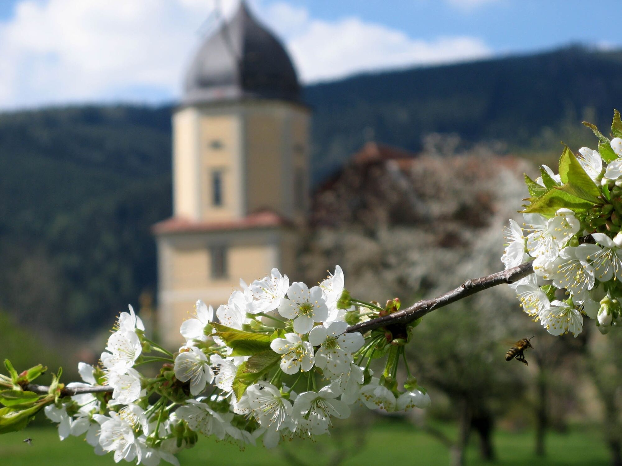
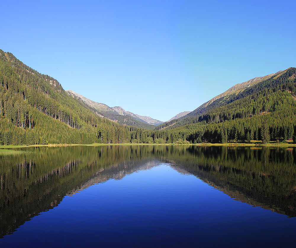
The section of the Benedikt's Route through Styria takes us from monastery to monastery - from Admont via Seckau to Carinthia. Scenic highlights are the national park Gesäuse and the crossing of the Niedere Tauern. Nature and culture alternate and small towns are also on the plan to complement the lush nature experiences.
- Difficulty
-
medium
- Rating
-
- Starting point
-
Spital am Phyrn
- Route
-
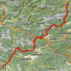
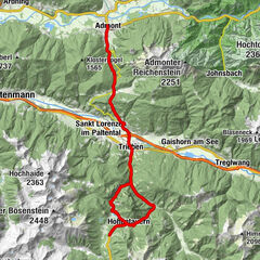
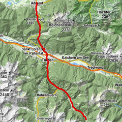
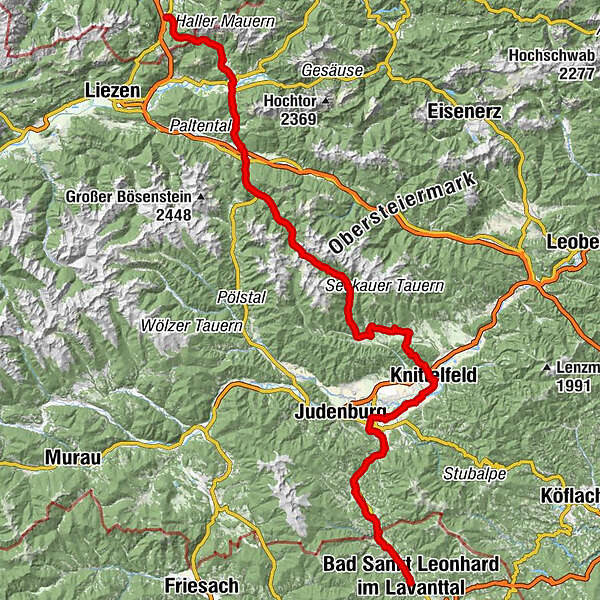
Spital am Pyhrn0.1 kmBosruckhütte4.2 kmRohrauer Haus6.4 kmPyhrgasgatterl (1,308 m)6.6 kmAdmont17.9 kmParadies20.0 kmKaiserau (1,114 m)23.3 kmDietmannsdorf bei Trieben26.6 kmFilialkirche hl. Johannes der Täufer26.7 kmRestaurant-Pizzeria Giovanni28.7 kmTrieben28.9 kmGasthaus Triebenerhof29.1 kmBrodjäger34.5 kmGasthof Braun37.0 kmTriebentalhütte37.5 kmTriebental41.4 kmBergerhube42.3 kmKettentalalm45.2 kmKettentörl (1,864 m)46.2 kmSeeboden52.8 kmKlementikapelle53.2 kmLandgasthaus Kaiser63.0 kmIngering II63.1 kmBischoffeld64.1 kmVorwitz65.6 kmGasthof Steinmühle70.4 kmSeckau72.7 kmRestaurant Hofwirt72.7 kmLuciakapelle72.9 kmFriedhofskapelle72.9 kmGasthaus Puster "Zur Post"73.0 kmKalvarienkirche76.0 kmTremmelberg (1,194 m)76.6 kmBraunikapelle80.4 kmNeuhautzenbichl81.1 kmMoschee82.1 kmKnittelfeld82.3 kmStadtpfarrkirche Christus als König82.4 kmKirche der Siebenten-Tags-Adventisten83.0 kmWeyern85.2 kmMöbersdorf90.5 kmSilberrain91.4 kmFisching92.7 kmMaria Buch95.7 kmHauserbauerkapelle96.9 kmBaierdorf97.0 kmEppenstein99.5 kmMühldorf100.2 kmKathal104.7 kmKathal in Obdachegg107.2 kmPfarrkirche St. Ägyd111.1 kmJohanneskapelle111.2 kmObdach111.5 kmObdacher Sattel (955 m)115.2 kmObdacher Sattel (955 m)115.4 kmTaxwirt117.4 kmReichenfels (809 m)120.1 kmHl. Jakobus d. Ältere120.2 kmHirschenwirt120.3 kmAlte Mühle120.4 kmMoos123.2 kmBärnthaler125.5 kmBadsiedlung126.1 kmMarienerscheinung126.7 kmBad Sankt Leonhard im Lavanttal (714 m)126.8 km
- Best season
-
JanFebMarAprMayJunJulAugSepOctNovDec
- Description
-
Pilgrimage - a journey into myself. For some, it is the ancient idea of religion. Giving thanks for regained health, asking for recovery, doing penance, taking a vow... For others, however, pilgrimage is simply a great longing for tranquillity and inner peace.
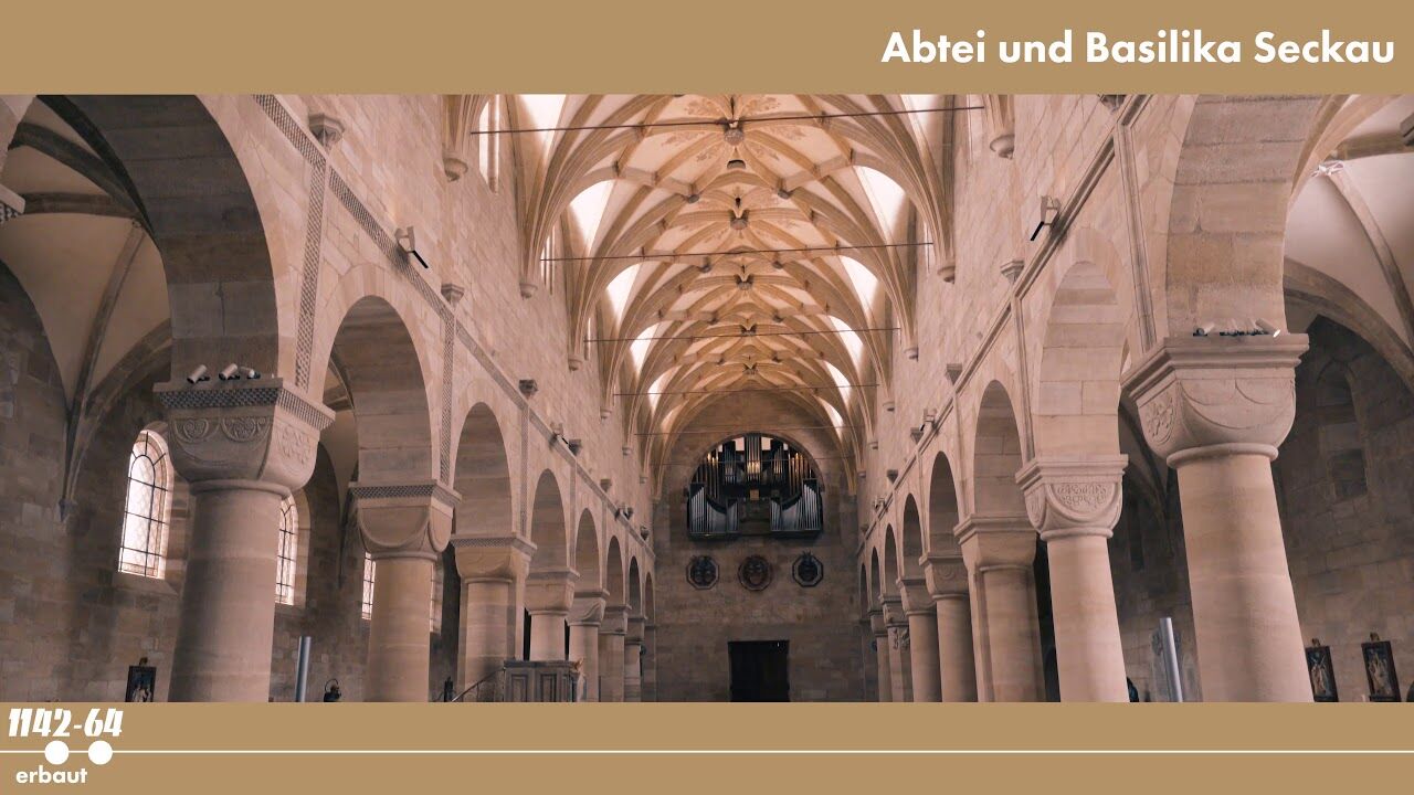
The Benedikt Path was created on the occasion of the 200th anniversary of the repopulation of the monastery of St. Paul in Lavanttal in 2009 and is named after the founder of the order, Benedikt of Nursia. The path leads from Spital am Pyhrn via Admont, Seckau, Maria Buch, Wolfsberg, St.Paul and Slovenj Gradec to Gornij Grad in Slovenia.
- Directions
-
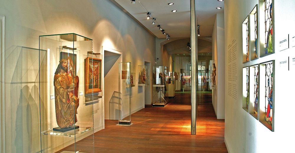
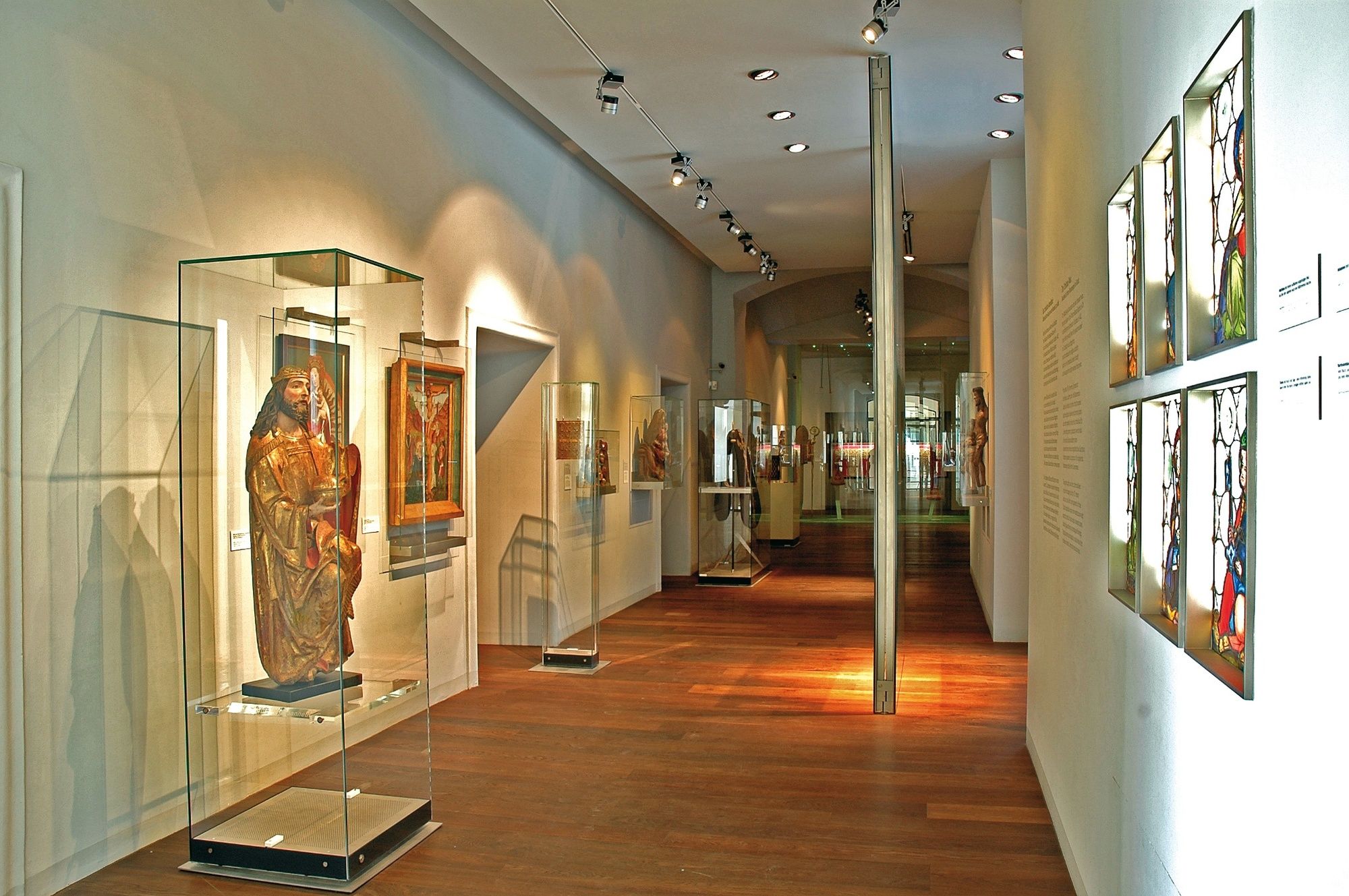
The first day takes us through the beautiful landscape of the Pyhrgas to the Gesäuse, Austria's youngest national park. Admont, with its world-famous monastery and the worthwhile monastery library, is our first stopover. Via the Kaiserau, we first reach Trieben and continue via the Kettentörl and the Ingeringsee to Seckau.
From Seckau, we continue over the Tremmelberg to Knittelfeld and on to Maria Buch-Feistritz, with its beautiful pilgrimage church in the middle of the Mur valley. From the Styrian Murtal, we change to the Carinthian Lavanttal. Through beautiful forest paths we reach the small village of Obdach and continue over the Obdacher Sattel into the Lavanttal.
- Highest point
- 1,842 m
- Endpoint
-
Reichenfels
- Height profile
-

- Equipment
-
Proper backpack packing makes many things easier: Pack heavy things first. The water bottle should always be within reach in a side pocket. All the things that are often needed, such as sunglasses, camera or hiking map, belong on top. An emergency kit, including blister plasters, belongs in every rucksack and it is always advisable to dress in layers.
- Safety instructions
-
Emergency call mountain rescue: 140
Tips when reporting an emergency – Answer these six WH questions: What happened? How many people are injured? Where did the accident happen (are there GPS coordinates)? Who is reporting the incident (callback number)? When did the accident happen? What is the weather like at the site of the incident?
- Additional information
-
Steiermark Tourismus
Tel. +43 316 4003
info@steiermark.com
If you would like to hire a tour operator, simply book with Steiermark Touristik, the official travel agency of Steiermark Tourismus:
Tel. +43 316 4003 450,
www.steiermark-touristik.com
The Steiermark Touren app, available free of charge on Google Play and the App Store (Android, iOS), offers detailed first-hand information: brief facts (length, duration, difficulty, ascent and descent/elevation gain, ratings), map, route descriptions, altimeter, compass, peak finder, navigation along the tour. You can also create your own personal lists of favourite tours and sites, store tours and destinations offline, use social media channels, and much more.
- Public transportation
-
Accessible by train and bus.
Detailed information about arriving by ÖBB (Austrian Federal Railways) can be found at www.oebb.at or on the Verbundlinie Steiermark website www.busbahnbim.at
With Verbundlinie’s BusBahnBim route planner app, planning your journey has never been easier: simply enter towns and/or addresses, stop names or points of interest to check all bus, train and tram connections in Austria. The app is available free of charge for smartphones – on Google Play and in the App Store


-

-
AuthorThe tour On the Benedikt-Route through Styria is used by outdooractive.com provided.


General info
-
Erlebnisregion Murtal
1783
-
Gaal
244