9 Bauernkriegskapelle Runde

Logo 9 Bauernkriegskapelle Runde
Tour data
10.54km
694 - 789m
Distance
172hm
165hm
Ascent
03:02h
 
Duration
Brief description
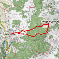
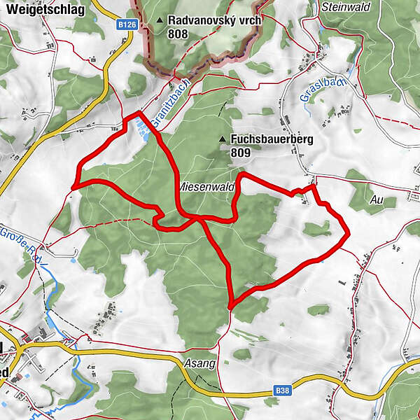
Route: Snack station Rading - Appenau - Peasants' War Chapel - Traxl - Snack station Rading
Difficulty
medium
Rating
Technique
Fitness
Landscape
Experience
Route
Schanzstüberl
0.1 km

Best season
Jan
Feb
Mar
Apr
May
Jun
Jul
Aug
Sep
Oct
Nov
Dec
Description
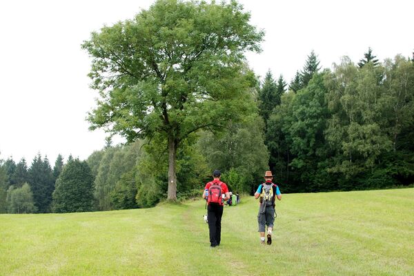
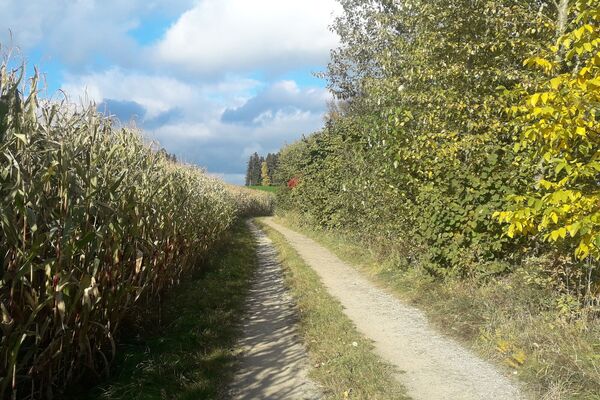
Substrate: 5% asphalt, 95% gravel / natural soil
Map download: 9 Bauernkriegskapelle Runde
Highest point
789 m
Height profile

Additional information
Hauptplatz 19
4190 - Bad Leonfelden
Tel.: +43 7213 6397
Email: office@muehlviertlerhochland.at
Homepage

Author
The tour 9 Bauernkriegskapelle Runde is used by outdooractive.com provided.

Overall rating

5

0

%

4

0

%

3

0

%

2

0

%

1

0

%

Error
An error has occurred. Please try again.
Thank you for your review

Rating has been deleted

GPS Downloads
  • GPX GPS Exchange Format (XML)
  • KML Google Earth, Google Maps
QR Download Codes for Mobile Phones
Other tours in the regions

Popular tours in the area

SternGartl Blick lookout tower R4

medium Hiking
7.75km | 113hm | 02:12h

Kraft-Quelle-Baum

medium Hiking
59.07km | 1665hm | 14:46h

So schön ist Altenberg

easy Hiking
9.83km | 213hm | 02:17h

Mühlviertler Mittellandweg 150er

medium Hiking
124.09km | 3256hm | 40:00h