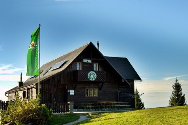
© TV Nationalpark Region Ennstal - Christoph Steinweg
© OÖ. Tourismus/Erber - Christoph Steinweg

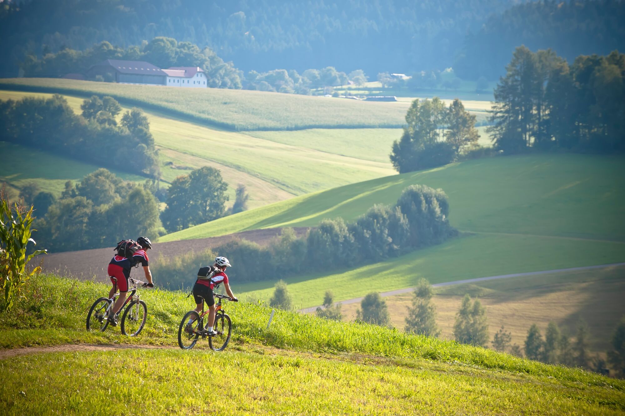
- Brief description
-
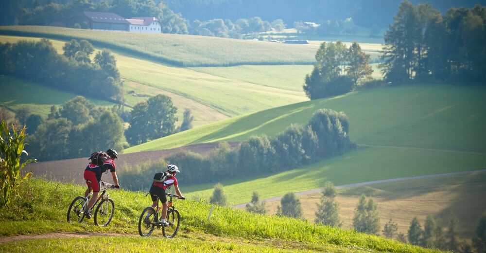
Varied afternoon tour with only moderate fitness requirements.
- Difficulty
-
medium
- Rating
-
- Starting point
-
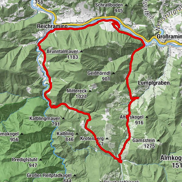
Reichraming
- Route
-
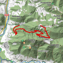
ReichramingAnzenbach (450 m)7.8 kmBrennhöhe (590 m)9.7 kmBrunnbachstadl12.6 kmBrunnbach (522 m)12.8 kmFilialkirche Brunnbach12.9 kmSpriedlgraben19.7 kmRodelsbach20.6 kmHeinzl23.7 kmReichraming28.2 km
- Best season
-
JanFebMarAprMayJunJulAugSepOctNovDec
- Description
-
Reichraming - Brunnbach - Kniebeiß - Rodelsbach - Ennstalradweg - Reichraming
- Directions
-
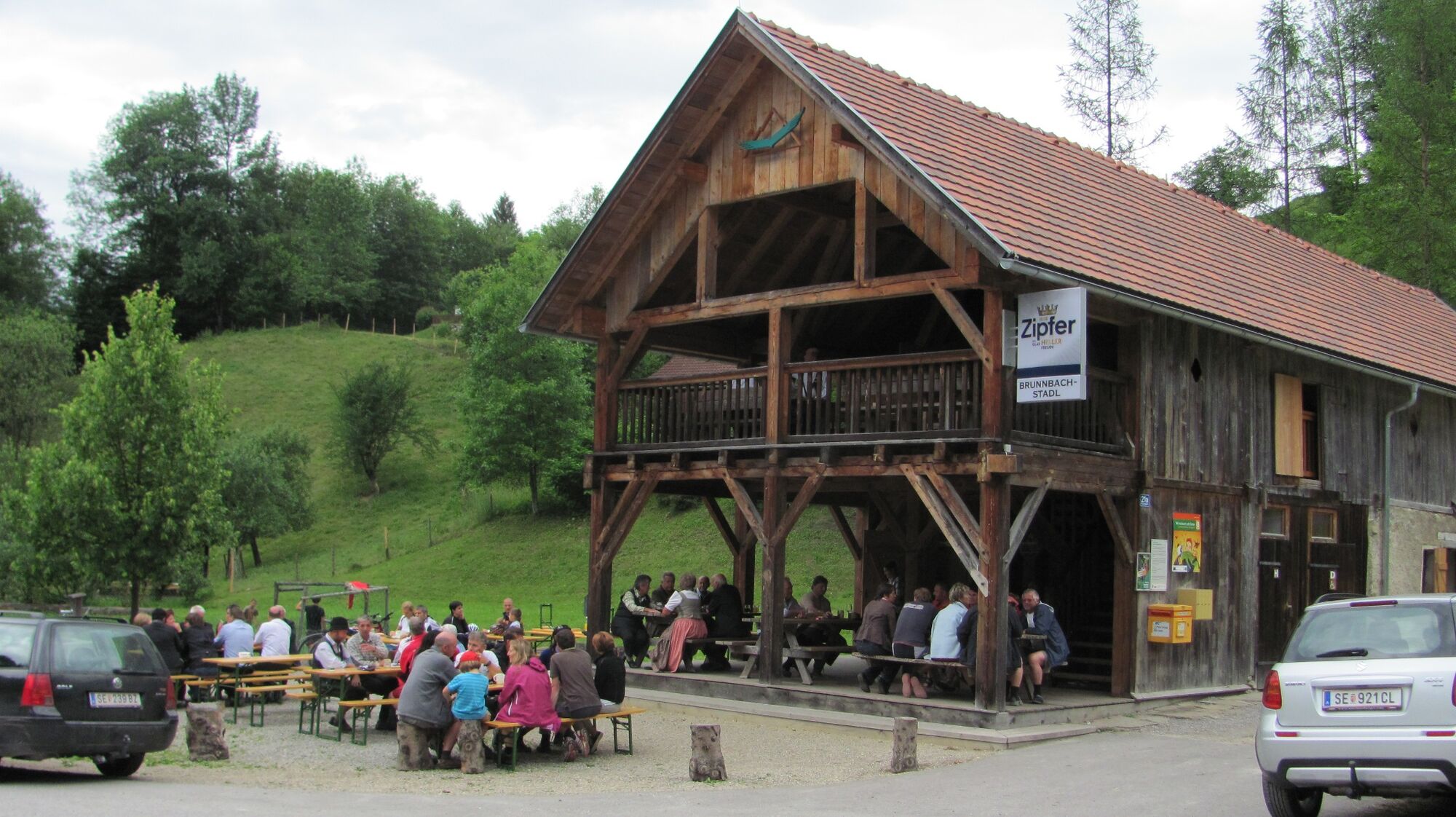
From Reichraming via Anzenbach and the Brennhöhe to the Brunnbach School. There you turn left and cycle to the Gschwendthöhe. After an approx. 2.5 km long descent you turn left over the "Hirner Höhe" into the wild and romantic Rodelsbach, where you meet the Ennstalradweg at the bottom. On the next 2.5 km you have to gain another 100 m in altitude before you return to Reichraming on the very pleasant bike path section.
Translated with www.DeepL.com/Translator (free version)
- Highest point
- 635 m
- Endpoint
-
Reichraming
- Height profile
-

- Equipment
-
Sun and rain protection, repair kit for minor bike breakdowns.
- Safety instructions
-
Inquire in advance about any trail or road closures along the route.
- Additional information
-
You can obtain up-to-date map material at www.steyr-nationalpark.at
- Author
-
The tour MTB - Fahrenbergrundfahrt is used by outdooractive.com provided.
GPS Downloads


Other tours in the regions