BergeSeen 08 with the eMTB from Bad Ischl to Grünau/Almtal


- Brief description
-
The stage BergeSeen 8 for eMTBs starts in the center of Bad Ischl. About 75 km, 1400 meters in height mostly on tarmac and gravel roads are in front of us with a nice stop at the Grünberg.
- Difficulty
-
medium
- Rating
-
- Starting point
-
Tourist Office in Bad Ischl
- Route
-
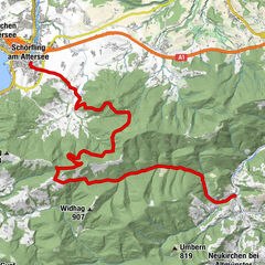
Bad IschlSt. Nikolaus0.0 kmFreie Christengemeinde1.5 kmRettenbach1.7 kmRoith2.4 kmKößlbach5.0 kmMitterweißenbach6.1 kmLahnstein16.2 kmEbensee (443 m)21.4 kmTrauneck21.7 kmBlick auf Traunkirchen26.0 kmTraunkirchen26.8 kmWirtshaus Poststube 132726.8 kmKlosterstube26.8 kmWinkl28.6 km's Paul Restaurant28.9 kmTraunkirchen28.9 kmNeukirchen bei Altmünster36.6 kmGrasberg39.4 kmReschenwirt39.6 kmEbenzweier43.3 kmPfarrkirche Altmünster43.7 kmAltmünster44.0 kmTraunsee Fisch & Pasta46.2 kmGmunden Rathausplatz47.5 kmGmunden (425 m)47.5 kmHauskapelle ohne Namen49.5 kmHauskapelle ohne Namen49.8 kmRamsaualm58.5 kmHauergraben69.0 kmAlmtalhof74.0 kmGrünau im Almtal74.5 km
- Best season
-
JanFebMarAprMayJunJulAugSepOctNovDec
- Description
-
Beginners should consider carefully if the stages BergeSeen 8 and 9 are being able to cope with, since there are also difficult passages. The passages for pushing the bike during the stage Berge Seen 9 are feasible, but still demand condition and craft.
This stage contains an uphill single trail (shared trail), which is passable. The following stage BergeSeen 9 from Gürnau to Steinbach on the Attersee inlcudes two passages, where its necessary to push the bike. Only well exercised mountainbikers will be able to manage this parts by bike. In Ebensee there is the possibility to turn directly to Steinbach am Attersee into stage BergeSeen 9.
Next to the beautiful nature the following attractions and highlights may contribute making this tour an unforgettable experience:
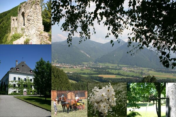
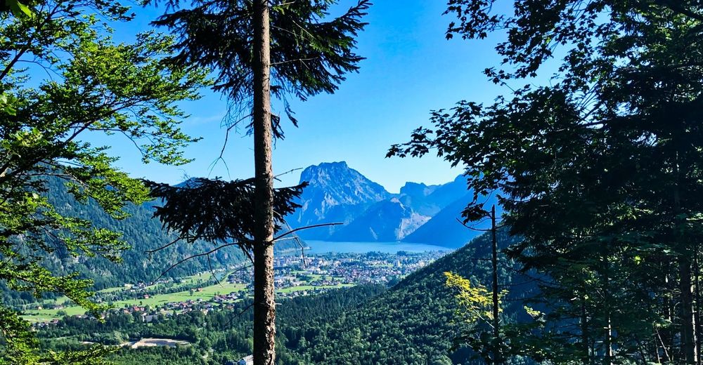
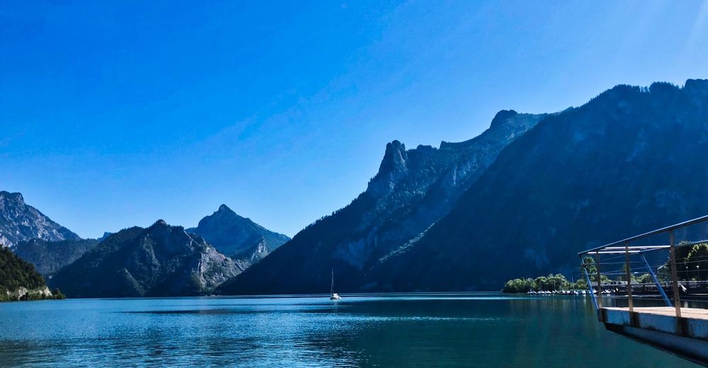
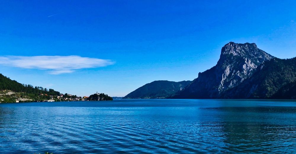
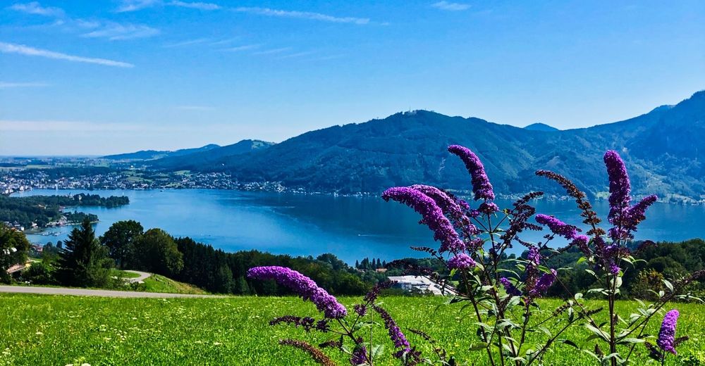
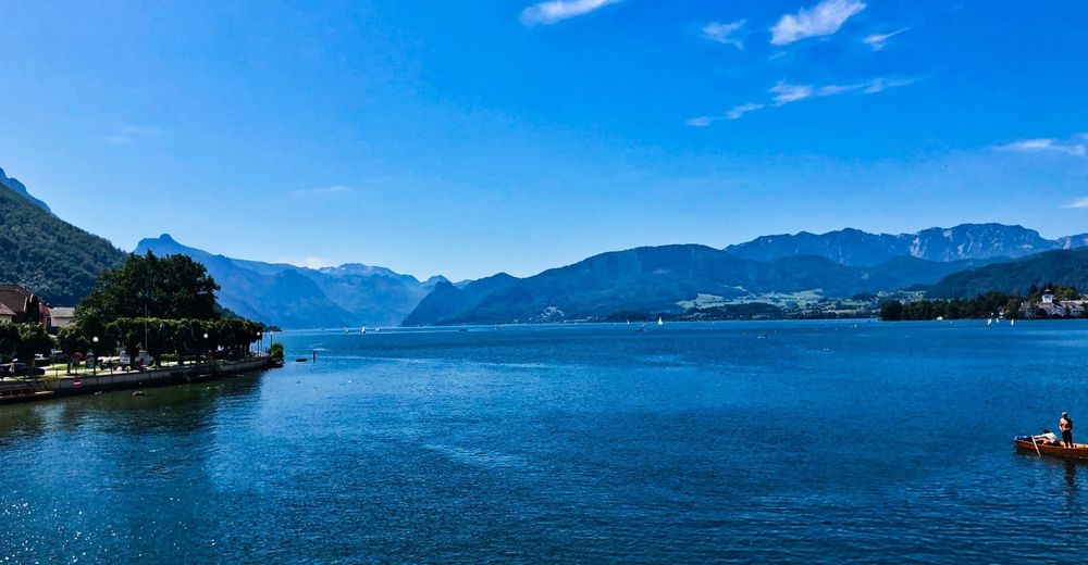
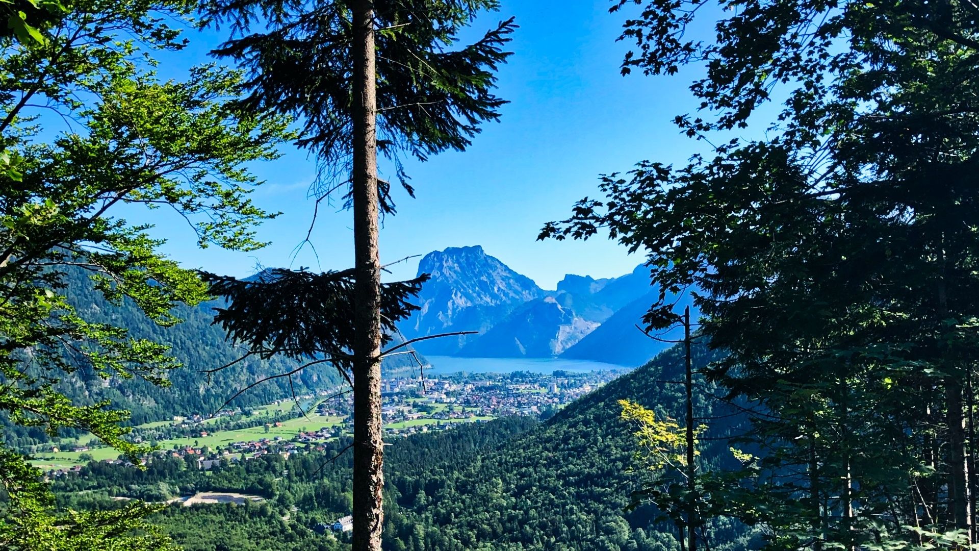
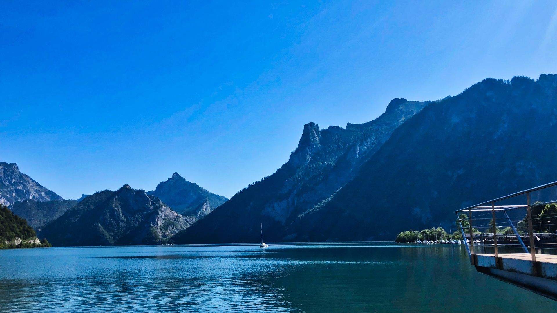
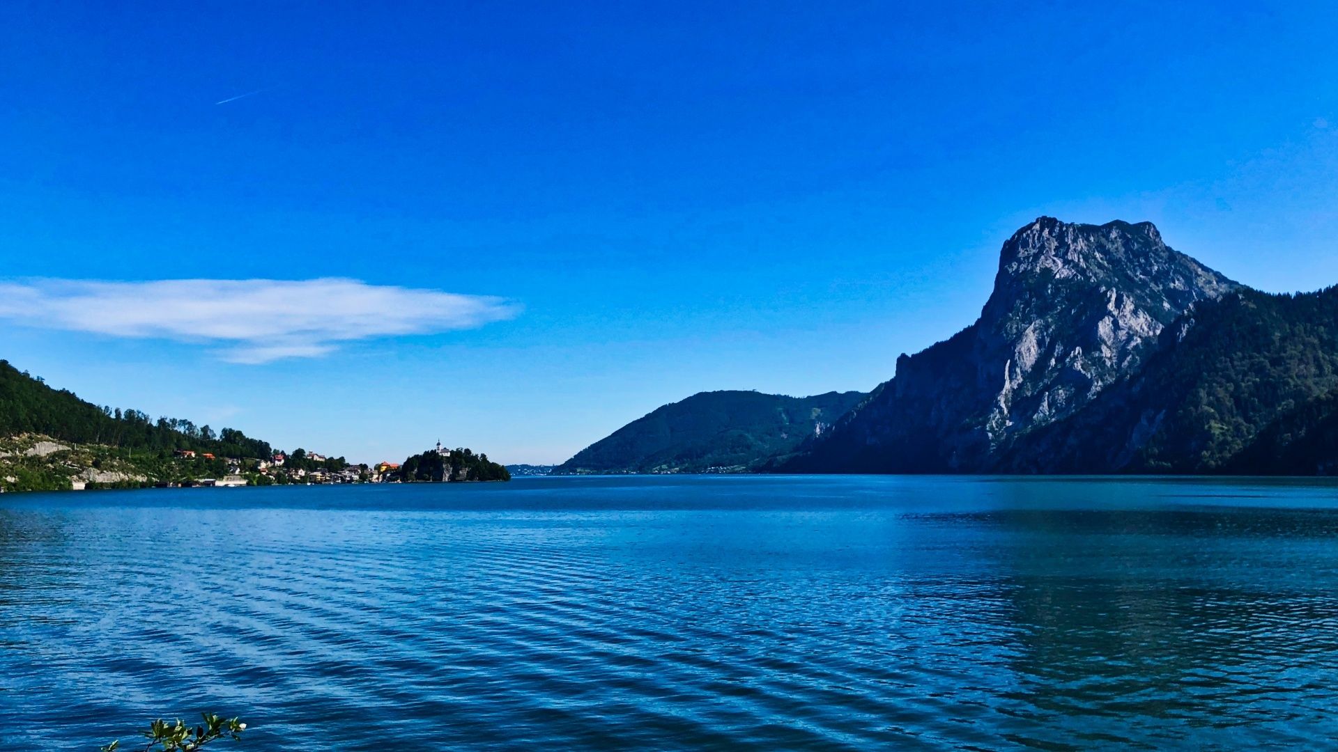
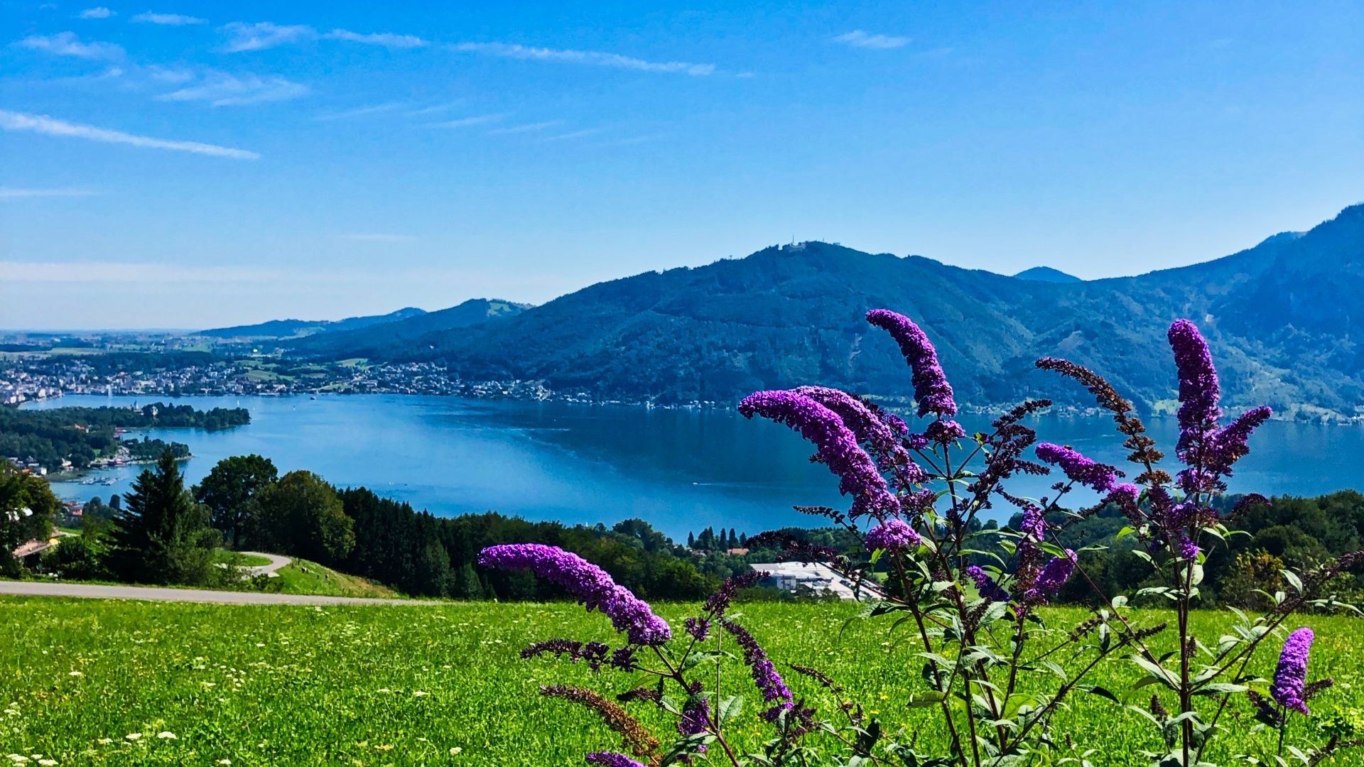
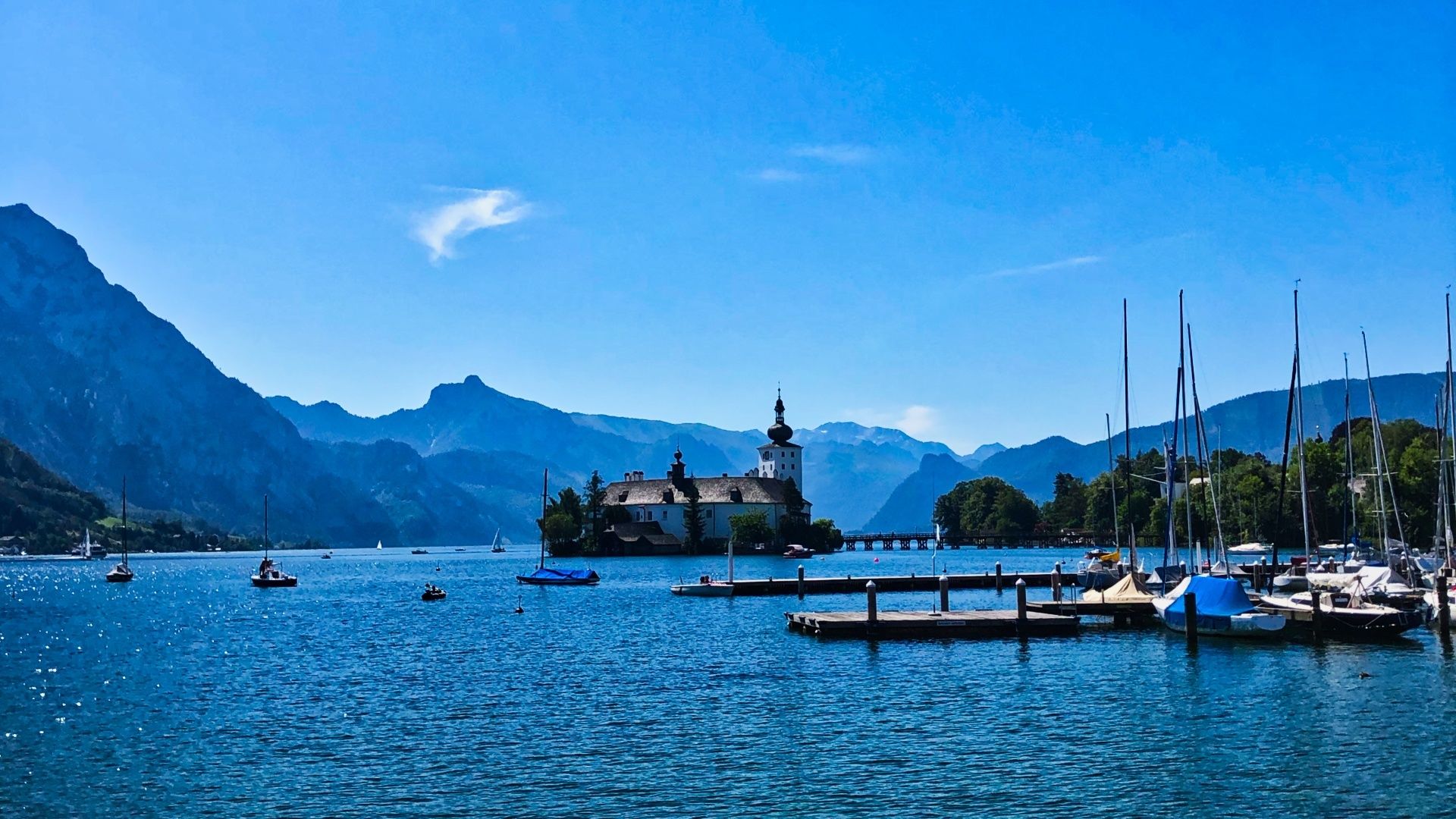
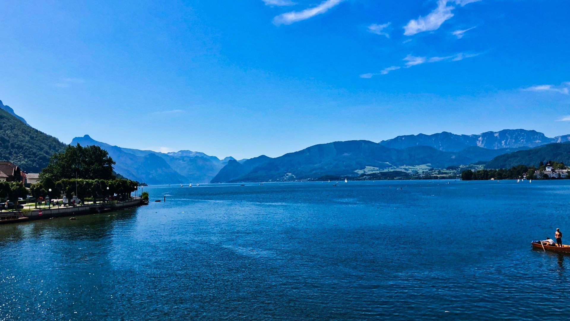
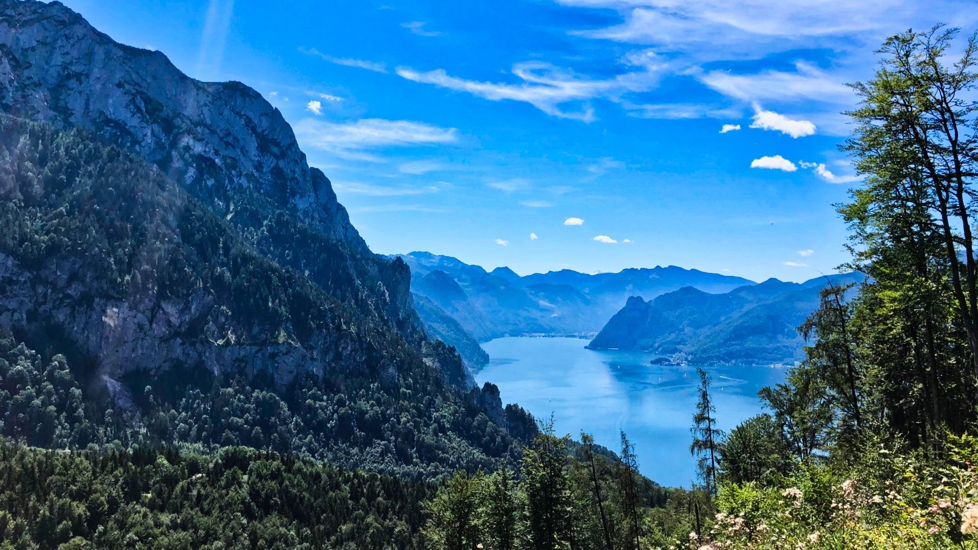
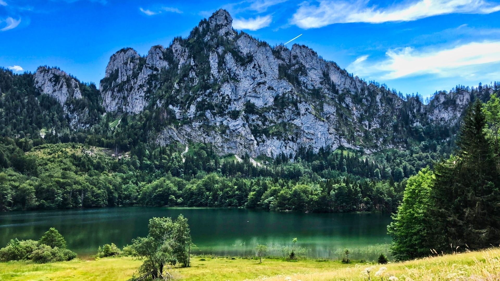
The view over the lake Traunsee from the south, the old street, nowadays cylce path, along the Traunsee to Traunkirchen, the Grasberg with its rest points and view to the lake and moutain Traunstein, the castle at the lake with its park and esplanade, the city Gmunden, the last view below the Grünberg over the Traunsee with the Traunstein and the lake Laudachsee. - Directions
-
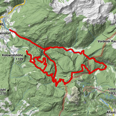
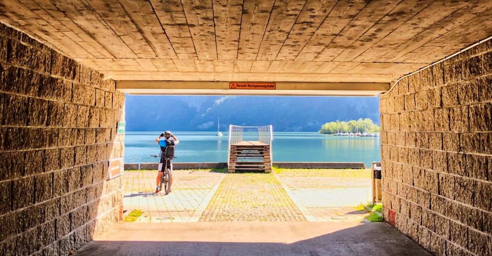
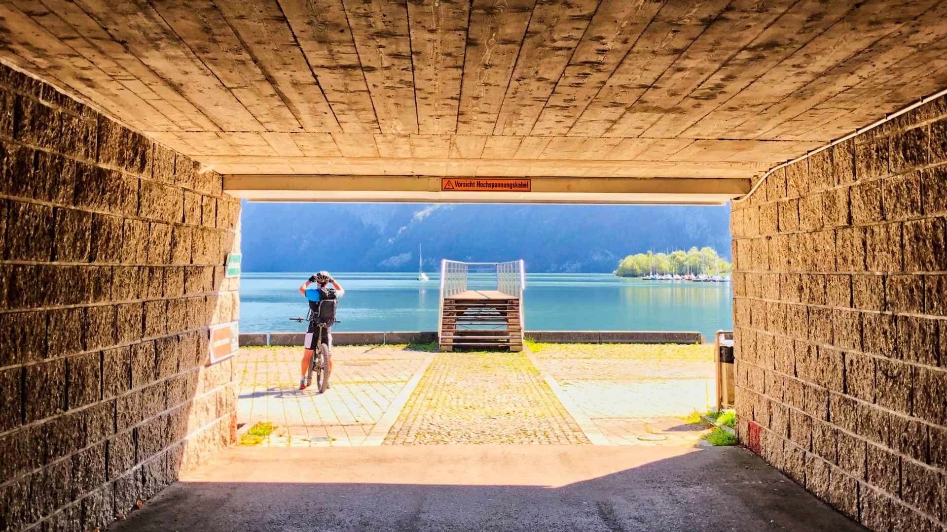
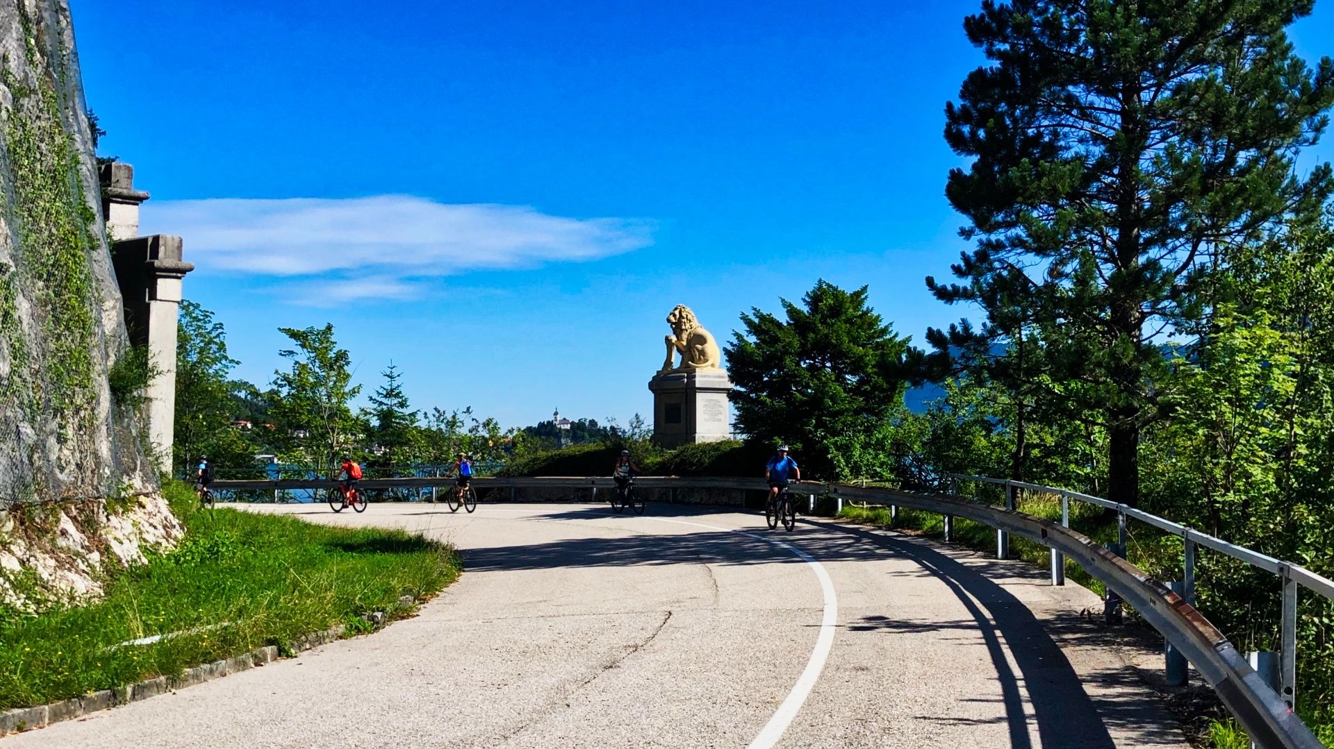
The stage BergeSeen 8 starts at the tourist office in Bad Ischl. We start in direction to the river Traun and carry on along the Adalbert-Stifter-Kai down the river until the first bridge, in order to cross the Traun on the Steinfeldstraße (km 1,1). At the next crossing, the Rettenbachweg, we turn to the left and follow the road until the Rettenbachwaldstraße (km 1,7), where we turn to the left. After about 100 m more we turn to the original route (km 1,8), which brings us above the right bank of the Traun downstream in direction to Ebensee. After about 3,7 km we turn to the left, cross the river and turn to the left into the cycle path (km 3,8), which we follow for the next 2 km along the B145. Then we turn again to the right in order to cross the Traun (km 5,8). Continously we gain again altitude and go along the Kösslbach Straße downstream until after 2,6 km on a tarmac road we go straight ahead into the Lahnsteinstraße (km 8,4) into the forest. We follow the signs "Berge Seen 8 and take after 1,8 km at the end of the glade the right path (458 alt, km 10,2), which leads steep upwards. After 2,5 km we go in the bend straight ahead (765 alt, km 12,7). This path is a gravel road, which takes us downwards. We always keep to the left until after 3,2 km we reach a parking for hikers (461 alt, km 15,9). On the right side there is a nice place to make a stop and take a break. 200 m later we turn to the left into the Offenseestraße (km 16,2), cross the main road Salzkammergut Bundesstraße and carry on straight ahead until the Steinkogelstraße. Now we turn to the left into the Steinkogelstraße. Soon we cross the railways, the Traun and turn to the right into the Langwiesstraße (km 18,1). The next 4,4 km lead us on a tarmac road to the Traunsee. Before the main road we take the underpass directly to a nice photo scene at the lake. Following the signs we reach the cycle path, which leads along the lakeside o fthe Gmunderstraße (km 22,6) to Traunkirchen. After about 1 km the main road continues into a tunnel. We take the traffic-calmed old road directly at the lake to Traunkirchen. Passing the Bartelkreuz, the "Lion of the Traunsee", every corner offers an impressing view to the Traunstein, the Grünberg and Traunkirchen. The cycle path leads us 6,4 km from Ebensee via Traunkirchen to Winkl. After a short uphill we turn to the left (425 alt, km 29). 200 m later at the right we pass in direction to Mitterndorf a train station. We follow the road 900 m and take the second entry after the hospital to the left upwards (444 alt, km 30,1) to the Buchbergstraße. After 1,1 km we turn to the left (km 31,2) to the Mühlbachtal Straße, which we follow round 1,9 km and turn then in direction to Hessenberg. After 400 m in Hessenberg we turn to the left upwards (552 alt, km 33,6) and again 400 m later at a farmyard we turn to the right (584 alt, km 34,0) to the Kollmannsberg Straße which leads after 900 meter into the Buchbergstraße. Here is one of the many inns for a nice refreshment or tradtional snack, we shall meet more on the way. To the left we take the Buchbergstraße for 1,6 km, where we turn then to the left to the road L544, a tarmac road, to Neukirchen bei Altmünster. At the entry of Neukirechen (km 36,9) we follow the way to Feichta and after few meters again to the right in direction to Grasberg. Lonley we follow the side roads, pass another inn for a break (731 alt, km 40,0) on the right side. Now we follow precisely the signs until after 4,7 km we get back to the cycle path in Altmünster (426 alt, km 44,7) in direction to Gmunden. Passing the lido, the Toscanapark, the popular castle and the esplanade we end up in the center of Gmunden.
We cross the Traun at the lowest point of the Tour in 423m and turn then to the right. After about 400 m we reach the Traunsteinstraße, which we leave after 300 m to the left in direction to Grünberg.
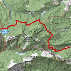
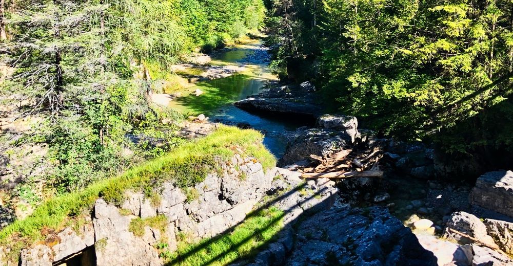
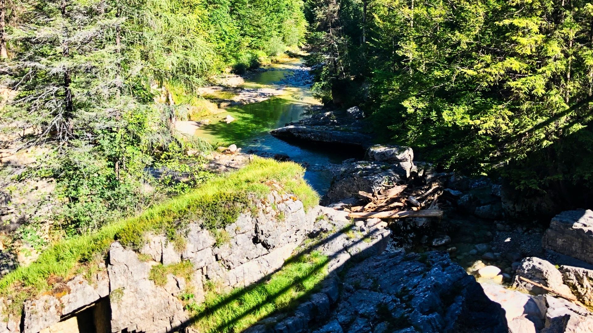
Now (km 49,0) we are on a tarmac road, where after 1,6 km we take the Laudachstraße and leave this street already after 600 m upwards to the right (495 alt, km 51,2). The Himmelreichsstraße takes us upwards for the next 1,7 km until a small area, where it seems that the path ends (647 alt, km 52,9). Now a shared trail leads us to the Laudachsee. Except one passage the trail is nice to drive. After 1,8 km on this single trail we reach again a forest road in 755 m. At this point we share the path also with hikers. We stay on this forest road and carry on until the Laudachseealm (912 alt, km 58,9). Until this point we should manage it with the first battery.
After the stop and a refreshment in the lake we carry on our tour along the lake in direction to Hohe Scharte. Soon we take a forest road to the left and go back on the other side of the lake. At the end of the lake we take a forest road to the right (907 alt, km 60,6). Now there are only 140 m to handle in order to reach the highest point of the tour in 1040 m. We always follow the signs "BergeSeen 8" further in direction to Grünau. After 4,5 km (1027 alt, km 65,1) we carry on straight ahead to the Hauergraben. Take care at this part, since there is a gate, which usually is closed. Now we follow the tarmac road till Traxenbichl (507 alt, km 71,2). To the right we take the cycle path R11 to Grünau im Almtal, which takes us straight to our final destination of this day.
- Highest point
- 1,035 m
- Endpoint
-
Grünau im Almtal
- Height profile
-

- Equipment
-
Please note that any MTB tours can always be done with proper equipment.
Here our recommendation for tour preparation and equipment.
- Safety instructions
- Tips
-
A precise preperation and information in advance of the description of the stage BergeSeen 8 and 9 might avoid any bad surprise. It is important and highly recommended in order to assess the difficulty of the trail refering to the own abilities.
The passages are in any case achieveable by pushing the bike. In this case the estimated duration of the tour increases by 30 to 40 minutes.
- Additional information
-
As new figures on the playing field of mountain and recreational sportsmen, we E-MTB riders have a special responsibility to behave appropriately.
In Graubünden bikers and hikers share the paths. A project that should set a precedent. But this can only be done with mutual respect. Black sheep throw us back years.
With common rules of play, we ensure that the forest will continue to provide a unique recreational and living space as well as jobs for everyone in the future.
Information on cycling in the forest from the Federal Ministry of Sustainability and Tourism.
- Public transportation
- Author
-
The tour BergeSeen 08 with the eMTB from Bad Ischl to Grünau/Almtal is used by outdooractive.com provided.