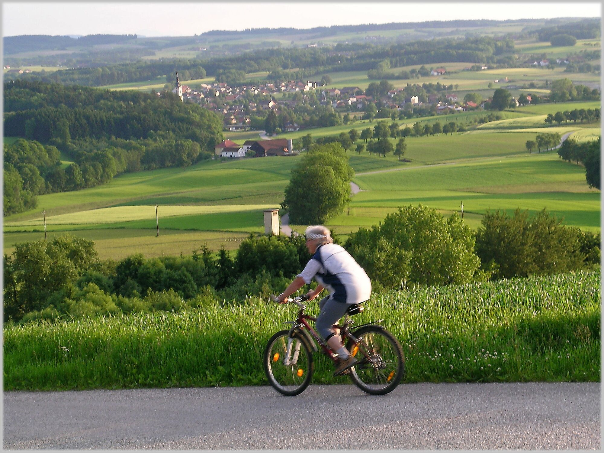
© Hanslmayr Fritz

© OÖ. Tourismus/Erber
Tour data
32.6km
344
- 534m
462hm
354hm
02:27h
WGD Donau Oberösterreich Tourismus
- Brief description
-
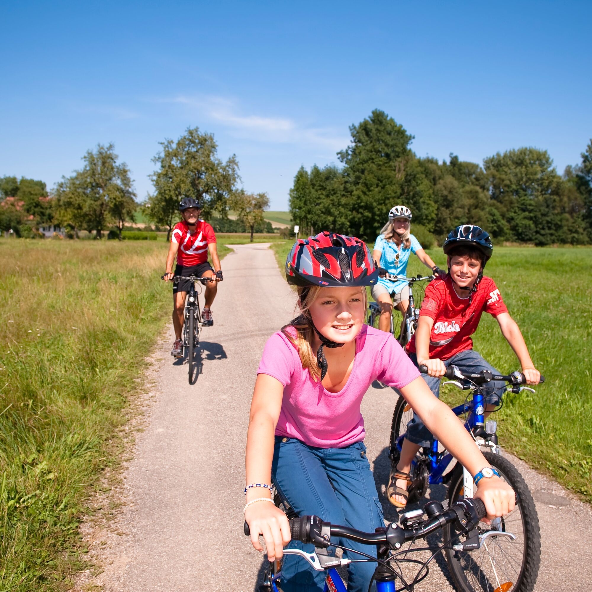
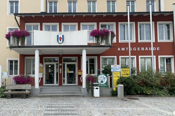
It is best to start your tour at the info point of the Tourism Association in Andorf (Tourismusverband). (VVA premises, Sportplatzstrasse)
- Difficulty
-
medium
- Rating
-
- Route
-
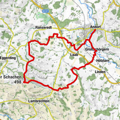
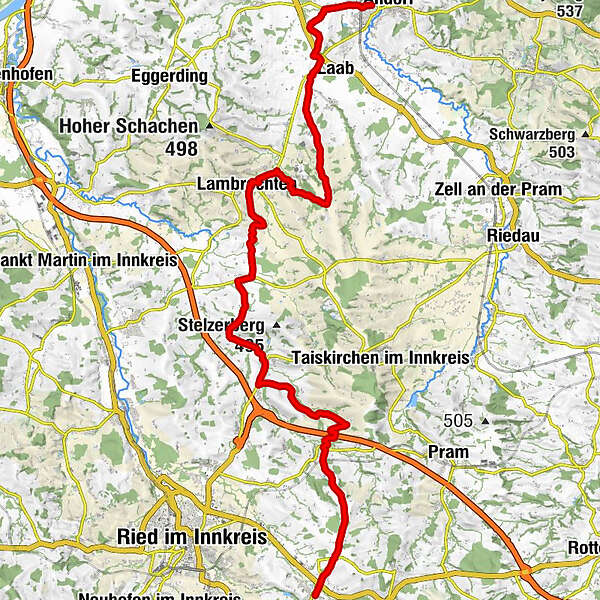
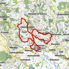
Radlersiedlung0.8 kmRadlern1.1 kmPranzen2.3 kmWinteraigen4.3 kmGerolding5.5 kmBreitenberg6.6 kmWinkl7.7 kmRabenstreit8.0 kmBlindendorf8.7 kmMessenbach11.8 kmOberwirt Lambrechten12.6 kmPfarrkirche Lambrechten12.6 kmLambrechten12.6 kmBruck14.2 kmReschenedt15.4 kmAigen16.6 kmKrammern17.7 kmSteingreß18.9 kmPötting20.0 kmAndrichsfurt20.7 kmFurt21.4 kmWeilhart22.8 kmMari26.4 kmPeterskirchen26.9 kmHilligan28.7 kmPonner29.0 kmOberham31.8 kmHohenzell32.4 km
- Best season
-
JanFebMarAprMayJunJulAugSepOctNovDec
- Description
-
The typical hilly landscape of the Innviertel accompanies you along this bike path. The starting point is in Andorf, where you turn off of the Pramtal Bike Path in order to reach Lambrechten and Andrichsfurt. You pass through Peterskirchen before the bike path merges in Hohenzell with the Antiesen Bike Path. Here, you can continue biking toward either Ried im Innkreis or Haag am Hausruck or continue along the Römer Bike Path.
- Highest point
- 534 m
- Height profile
-

- Additional information
- Directions
-
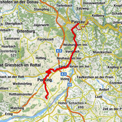
By car:
Travelling from Germany on the A8 - exit Pocking - further on the B 12 towards Schärding-Linz - then further on the B 137 towards Linz (approx. 12 km to Andorf) - exit Andorf (Note: take the motorway exit Suben > road tax disc necessary !!)
Arrival from Wels, Linz ... via the B 137 - exit Andorf
Arrival from Salzburg, Ried/I.: L 514
By rail:
Arrival via the stretch Passau - Wels, Andorf railway station
- Author
-
WGD Donau Oberösterreich TourismusThe tour Innviertel Bike Path R22 is used by outdooractive.com provided.
GPS Downloads


General info
Refreshment stop
Other tours in the regions
-
Innviertel
62
-
s'Innviertel
20
-
Andrichsfurt
5

")