© Verein Mühlviertler Granitland


- Brief description
-
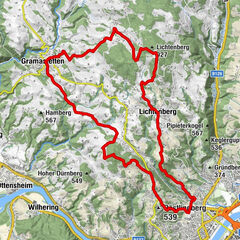
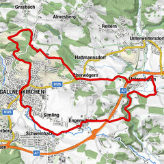
This route leads from the lowest to the highest point of the Granite Land South - from the Danube to the Gis.
- Rating
-
- Route
-
Ottensheim0.3 kmAmberg5.3 kmGramastetten8.2 kmGasthaus zur Gis15.9 kmLichtenberg19.6 kmLandgasthaus Holzpoldl20.7 kmNeulichtenberg20.7 kmKoglerauer Spitz (685 m)24.0 kmKöglerhof24.4 kmDürnberg27.9 kmGuckerstein28.2 kmGasthaus Dürnberg30.8 km
- Best season
-
JanFebMarAprMayJunJulAugSepOctNovDec
- Description
-
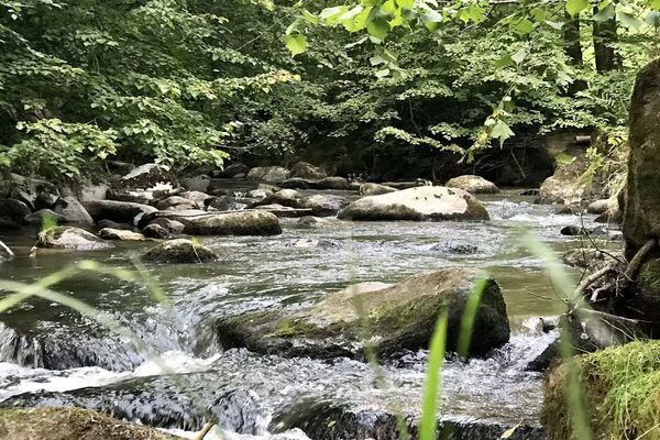
Right at the beginning, the ride along the natural Bleicherbach stream is a highlight. Via Gramastetten and Eidenberg, you reach the Gis on partly challenging paths, where you really deserve a rest.
The way back to Ottensheim is then "rich in views". Under no circumstances should you miss the short detour to the Donaublick. There and on the descent from Dürnberg you have a magnificent panoramic view from the hilly country of the Mühlviertel over the Danube valley to the Alps.
A feeder road from the Walding Sports Park (D1) also leads to this loop.
- Highest point
- 884 m
- Height profile
-


- Author
-
The tour MTB - Danube GIS circuit is used by outdooractive.com provided.
GPS Downloads


General info
Refreshment stop
A lot of view
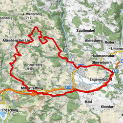
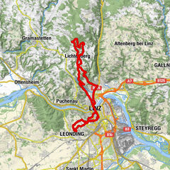
Other tours in the regions
-
Mühlviertel
194
-
Linz & Region Linz
95
-
Eidenberg
39