© Verein Tour de Alm

© Oberösterreich Tourismus/Mühlviertler Alm Freistadt/Moritz Ablinger

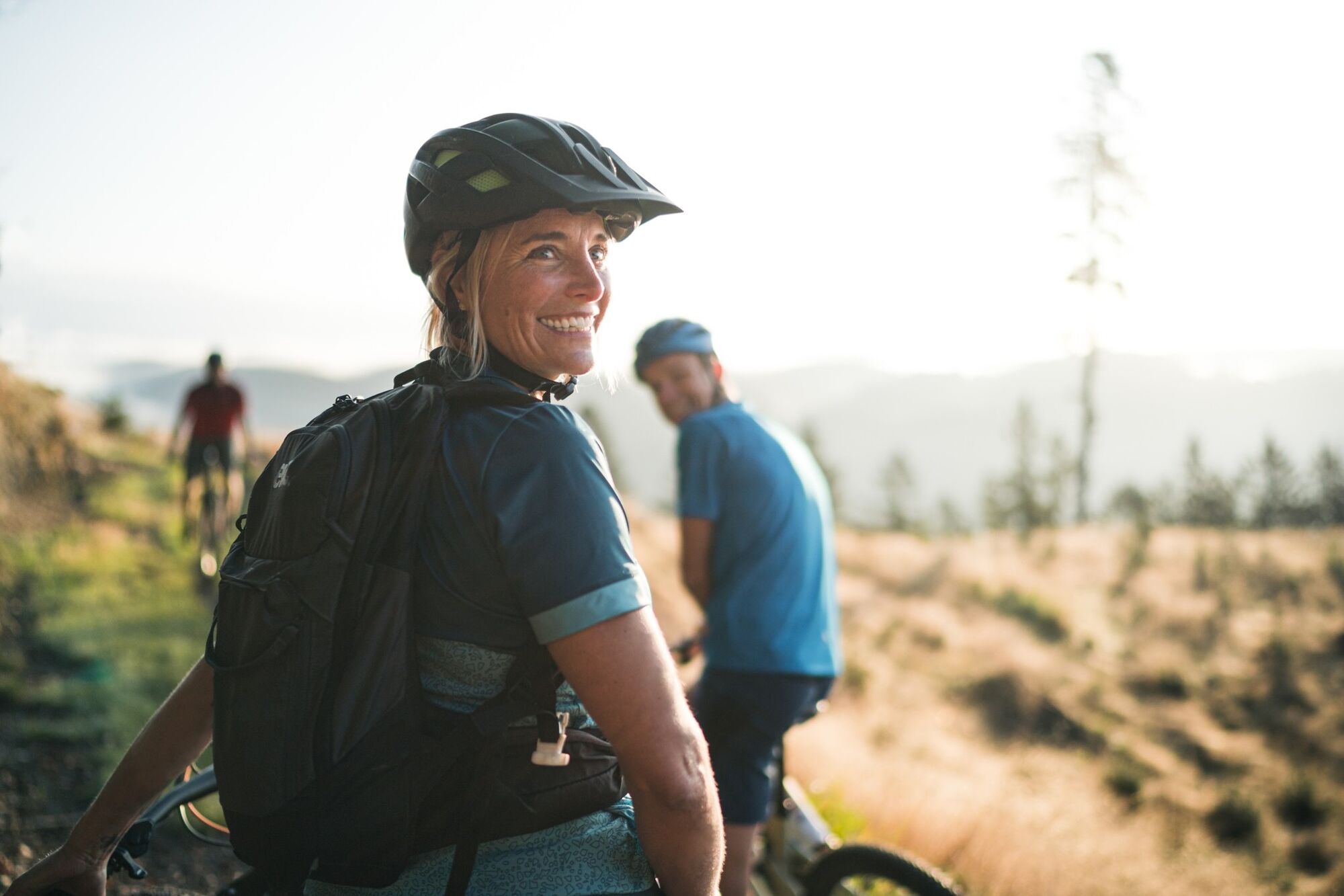
© Oberösterreich Tourismus/Mühlviertler Alm Freistadt/Moritz Ablinger - moritz-ablinger.com

© Oberösterreich Tourismus/Mühlviertler Alm Freistadt/Moritz Ablinger

© Oberösterreich Tourismus/Mühlviertler Alm Freistadt/Moritz Ablinger

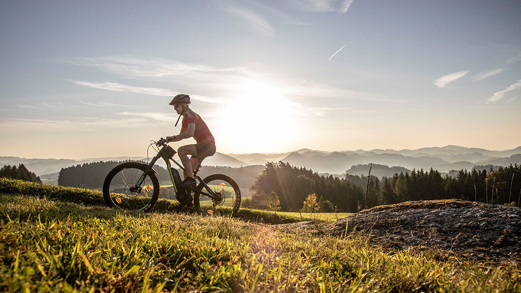
© Robert Diesenreither

© TVB Mühlviertler Alm Freistadt

© in unserer Natur

- Brief description
-
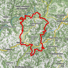
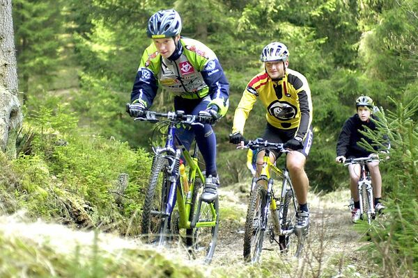
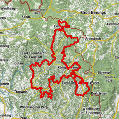
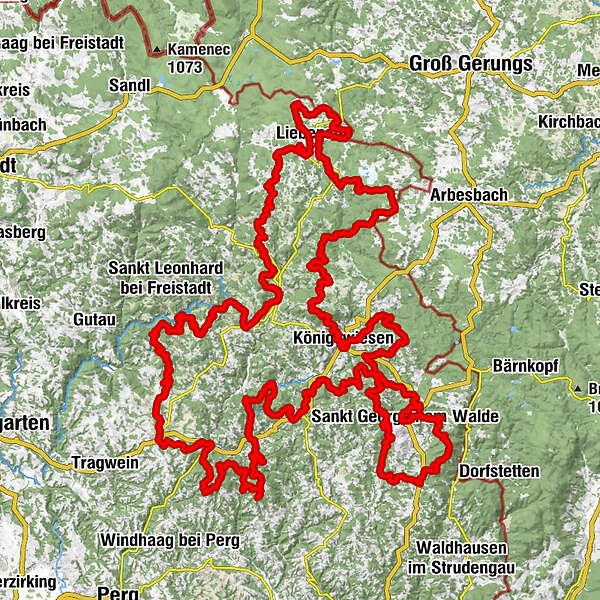
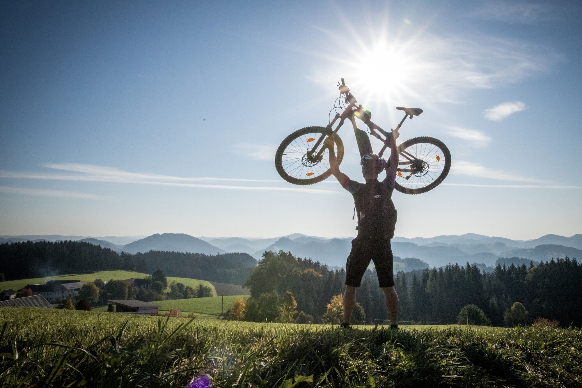
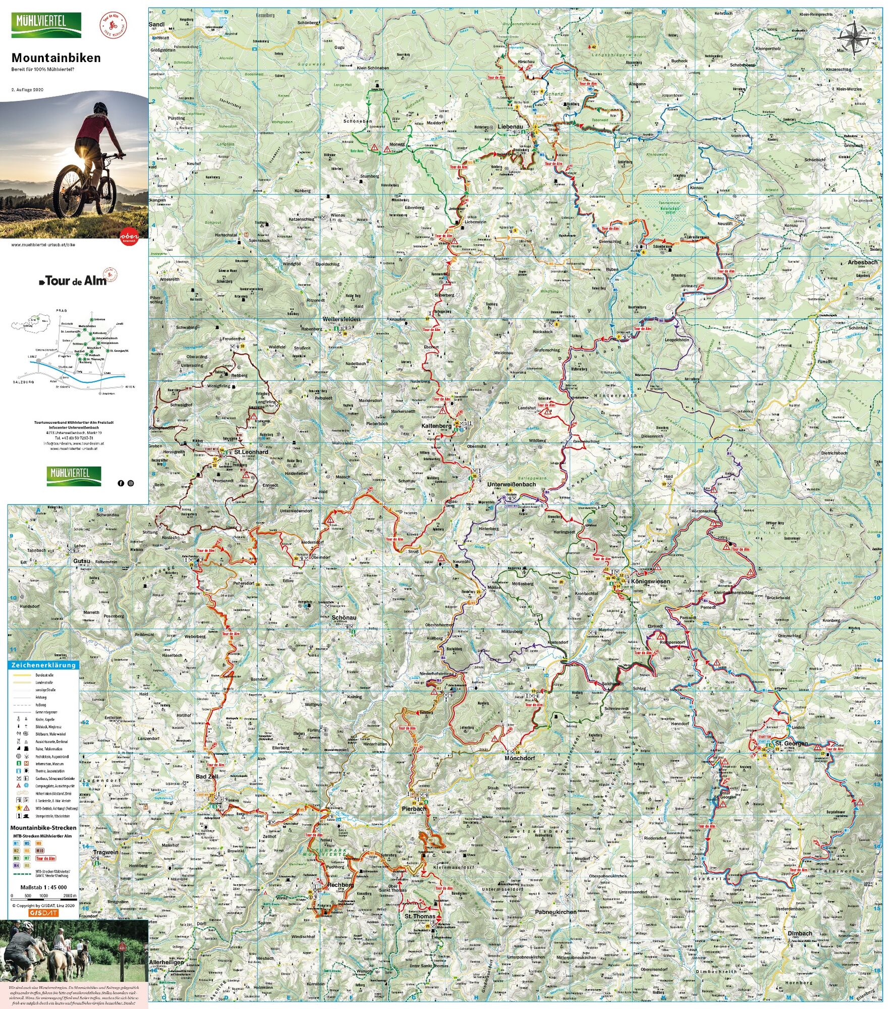
"Tour de Ålm“ - the "Tour de France“ of the Mühlviertel for mountain bikers.
- Difficulty
-
difficult
- Rating
-
- Route
-
Gasthof Sengstbratl0.0 kmPfarrkirche St. Georgen am Walde0.1 kmSankt Georgen am Walde0.1 kmHexenhütte0.8 kmLinden2.7 kmEbenedt6.4 kmRempersdorf7.7 kmKapelle8.1 kmEbrixedt9.0 kmSalchenedt13.2 kmKapelle17.0 kmKapelle19.0 kmGasthof & Reiterhof Rameder19.0 kmMönchdorf19.2 kmMönchwald20.5 kmSchutzhütte Ruttenstein25.7 kmBodenberg (711 m)26.7 kmNaarntal30.8 kmPfarrkirche Pierbach30.8 kmGasthaus Populorum - Mühlviertler Tenne30.9 kmGasthaus Fasching- Leinter31.0 kmPierbach31.1 kmKleinmaseldorf33.1 kmKreuzberg34.0 kmAhorner38.2 kmSankt Thomas am Blasenstein38.2 kmBlasenstein (723 m)38.2 kmMeislberg44.1 kmPlenkerberg (706 m)47.3 kmRechberg48.7 kmPfarrkirche Rechberg48.8 kmDorfwirt48.8 kmGasthof Haunschmid48.8 kmSteinbruckmühle52.2 kmStuberg52.9 kmZellhof54.1 kmBaumberg (630 m)55.6 kmBad Zell57.4 kmTeichtwirt60.4 kmTaverne68.5 kmKollnedt70.8 kmGasthaus Aumayer75.8 kmOberndorf76.0 kmNiederndorf76.4 kmStraß81.9 kmAglasberg83.9 kmGasthaus Hager85.1 kmGasthaus Fürst85.4 kmUnterweißenbach85.4 kmKaltenberg88.9 kmKaltenbergerhof89.0 kmUrsprungkapelle89.2 kmKapelle89.9 kmEbenort92.3 kmOrtskapelle92.4 kmKammererberg (980 m)96.5 kmLiebenstein99.0 kmGasthaus Frisch99.2 kmJankusmauer (1,017 m)99.6 kmBrockenberg (1,053 m)103.9 kmLiebenau (970 m)105.9 kmHotel Rockenschaub (1,000 m)106.0 kmPfarrkirche hl. Josef106.1 kmGlashütten107.7 kmHirschau109.5 kmIm Kammbach111.2 kmSchanz113.0 kmGeierschlag122.5 kmLeopoldstein130.9 kmGlashüttenkreuz137.1 kmLandshut138.3 kmBildstock139.8 kmGreinerschlag141.1 kmHarlingsedt145.6 kmPfarrkirche Königswiesen148.5 kmKönigswiesen148.6 kmPernedt158.9 kmOrtskapelle159.0 kmParoxedt161.4 kmRempersdorf162.3 kmEbenedt163.6 kmErlau178.3 kmGebetsberger184.3 kmGasthof Stoabaun-Wirt187.7 kmSankt Georgen am Walde187.8 kmGasthof Sengstbratl187.8 km
- Best season
-
JanFebMarAprMayJunJulAugSepOctNovDec
- Description
-
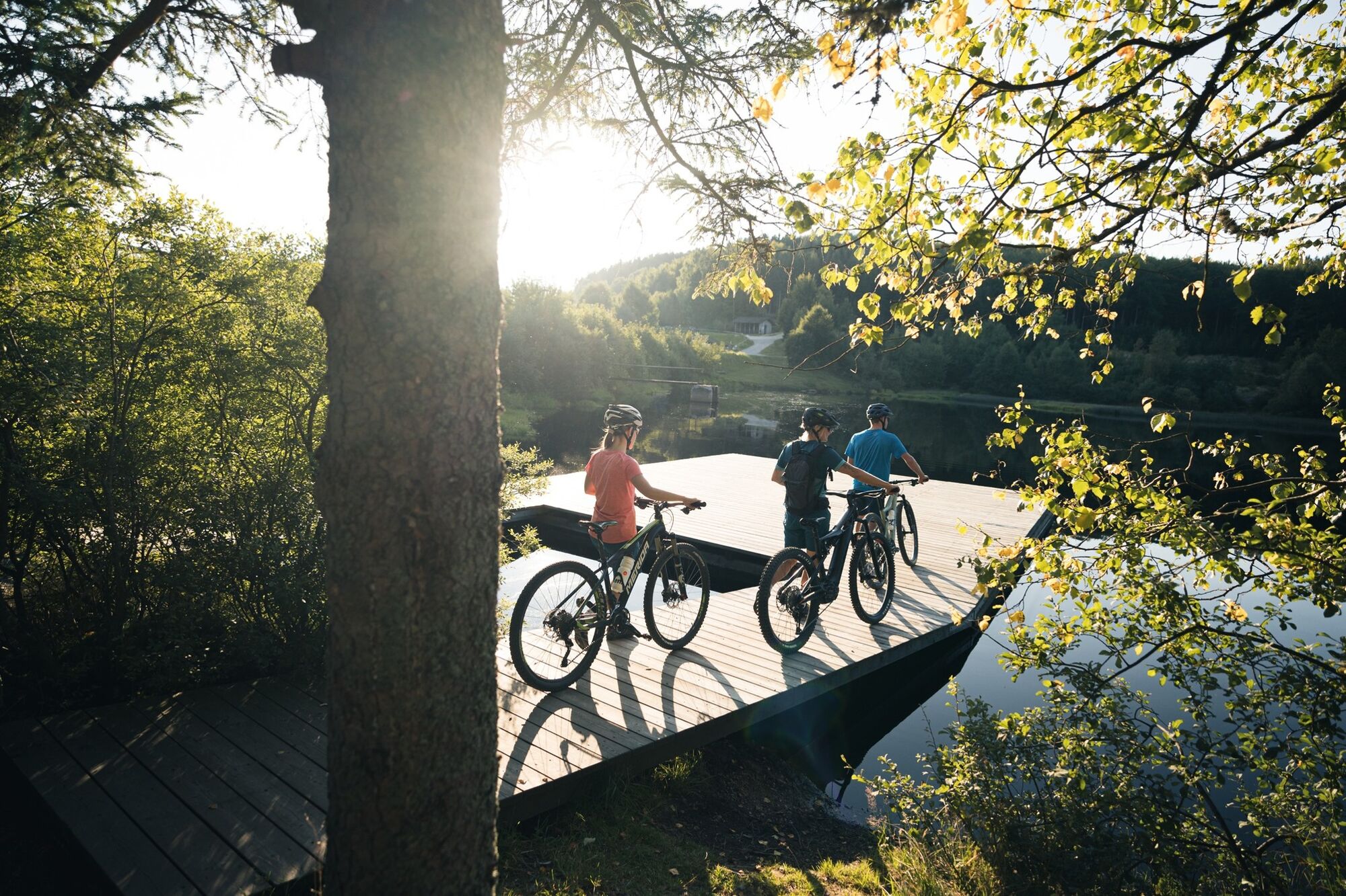
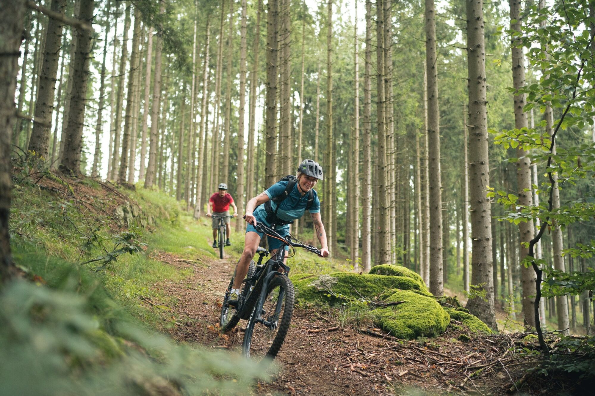
This tour takes you through eight municipalities of the Mühlviertel Alm region; here you will encounter the Mühlviertel's landscape in its most different forms. Experience the demanding inclines and the magnificent descents, the diversity of the region. The soft hills and the many panoramic views will excite you.
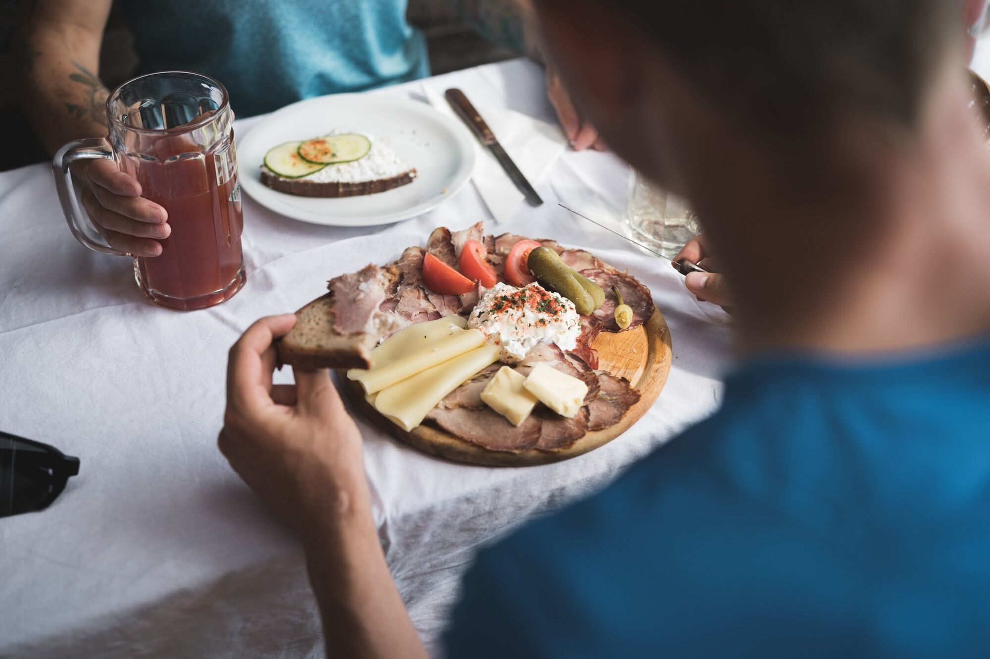
The tour takes you to several cultural and natural sights such as the Ruttenstein castle ruins and Prandegg as well as the Tanner Moor natural reserve. Proprietors, hosts, service partners and taxis see to your satisfaction along the way. You can start your tour anywhere. The number of days you should plan for to complete the "Tour de Ålm“ MTB adventure depends on you and your physical fitness. - Highest point
- 1,037 m
- Height profile
-

- Additional information
- Arrival
-
Travelling by car
- From Salzburg via the A1 to Linz, further on to the A7 to Unterweitersdorf, continuing on the Königswiesener Str./B124 towards Bad Zell, Schönau, Unterweißenbach
- From Wien (Vienna) on the A1 Westautobahn (Western freeway) to Ybbs, take Exit 100-Ybbs, follow the B25, take B3, Greiner Str./B119 and B119a to Markt Unterweißenbach
- To Linz via the A7 to Unterweitersdorf, continuing on the Königswiesener Str./B124 towards Bad Zell, Schönau, Unterweißenbach

- Author
-
The tour Tour de Alm is used by outdooractive.com provided.
GPS Downloads


General info
Refreshment stop
Other tours in the regions
-
Mühlviertel
194
-
Strudengau
71
-
Unterweißenbach
22