
- Difficulty
-
medium
- Rating
-
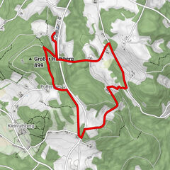
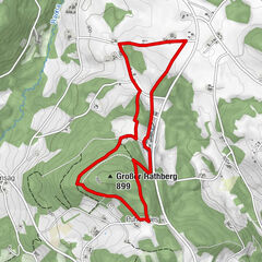
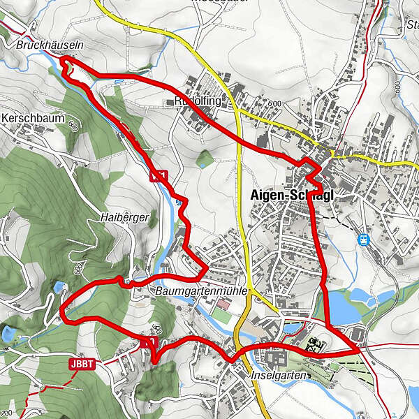
- Route
-
Aigen im MühlkreisPfandlPfarrkirche Aigen0.1 kmAigen-Schlägl0.3 kmMaria Anger Kirche Schlägl1.8 kmSchlägl2.1 kmRudolfing6.9 kmAigen-Schlägl7.6 kmAigen im Mühlkreis7.8 kmPfandl7.9 km
- Best season
-
JanFebMarAprMayJunJulAugSepOctNovDec
- Highest point
- 600 m
- Height profile
-

- Author
-
The tour Mühltal Runde is used by outdooractive.com provided.
GPS Downloads


Other tours in the regions