© RUNNERSFUN Consulting GmbH - Felix Ettinger

- Difficulty
-
difficult
- Rating
-
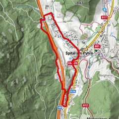
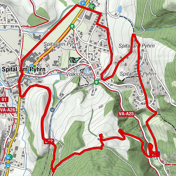
- Route
-
Spital am Pyhrn0.1 km
- Highest point
- 765 m
- Height profile
-


- Author
-
The tour S1 - Sonnenhang Runde is used by outdooractive.com provided.
GPS Downloads


Other tours in the regions
-
Gesäuse
43
-
Urlaubsregion Pyhrn - Priel
68
-
Edlbach
14