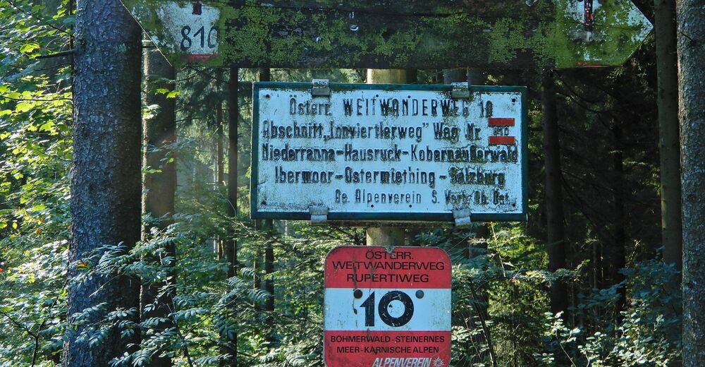
10 Rupertiweg, Etappe 07: Pramet - Maria Schmolln

long-distance walking trail
© gert gasperin
© gert gasperin
© gert gasperin
© gert gasperin
© gert gasperin
© gert gasperin
© gert gasperin
© gert gasperin
© gert gasperin
© gert gasperin
Tour data
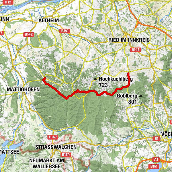
31.55km
494
- 758m
565hm
572hm
08:40h
- Brief description
-
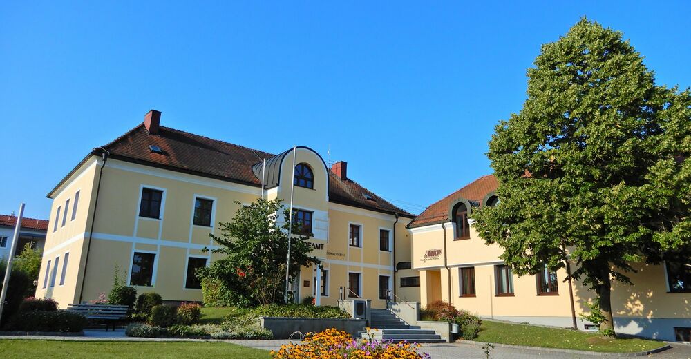
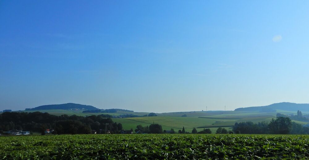
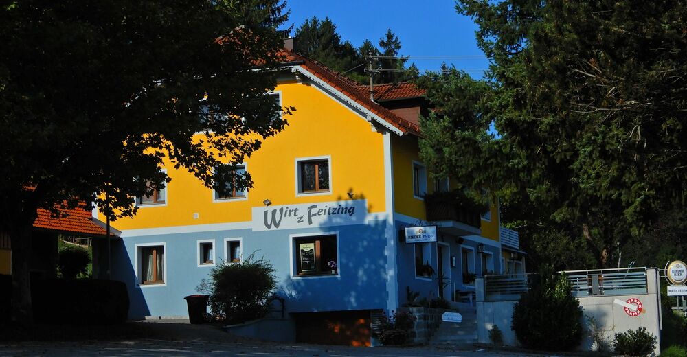
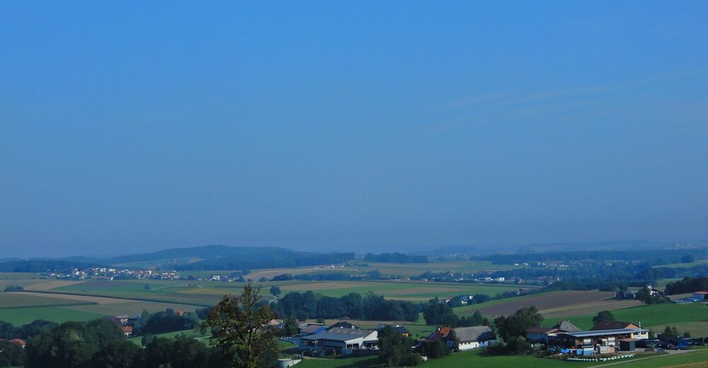
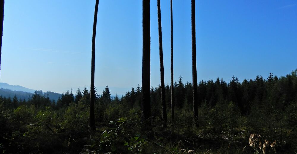
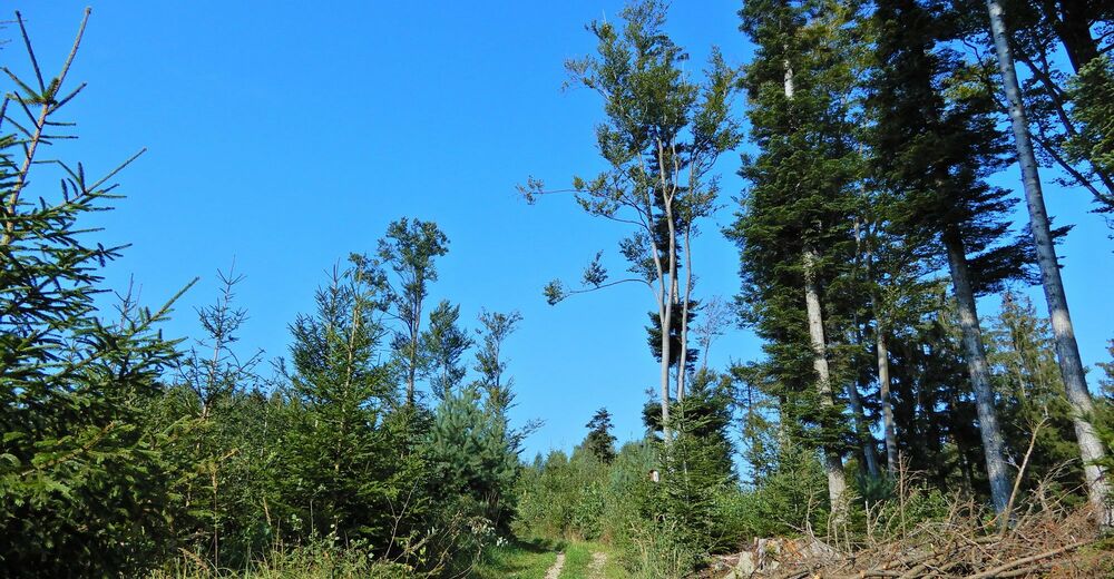
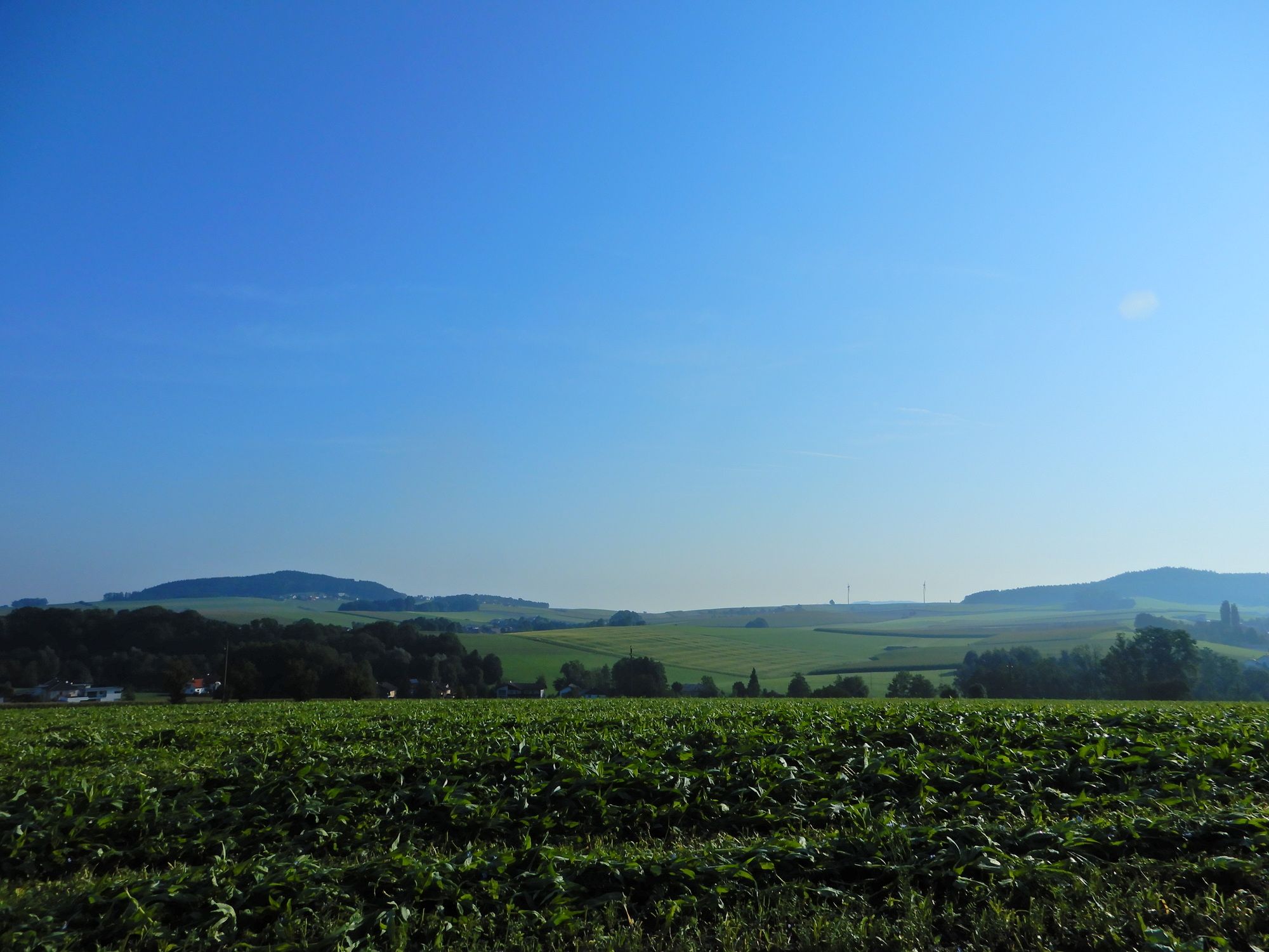
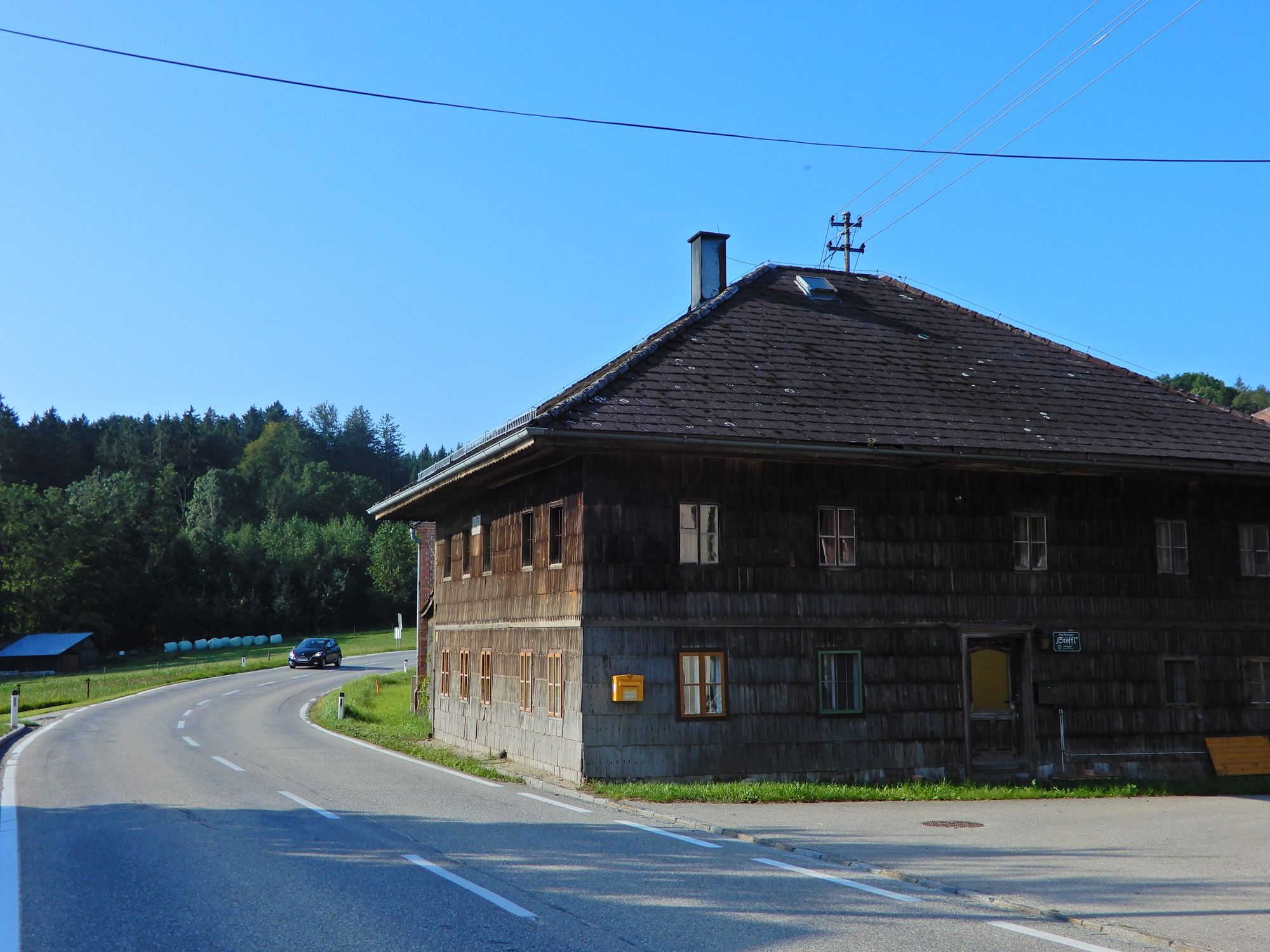
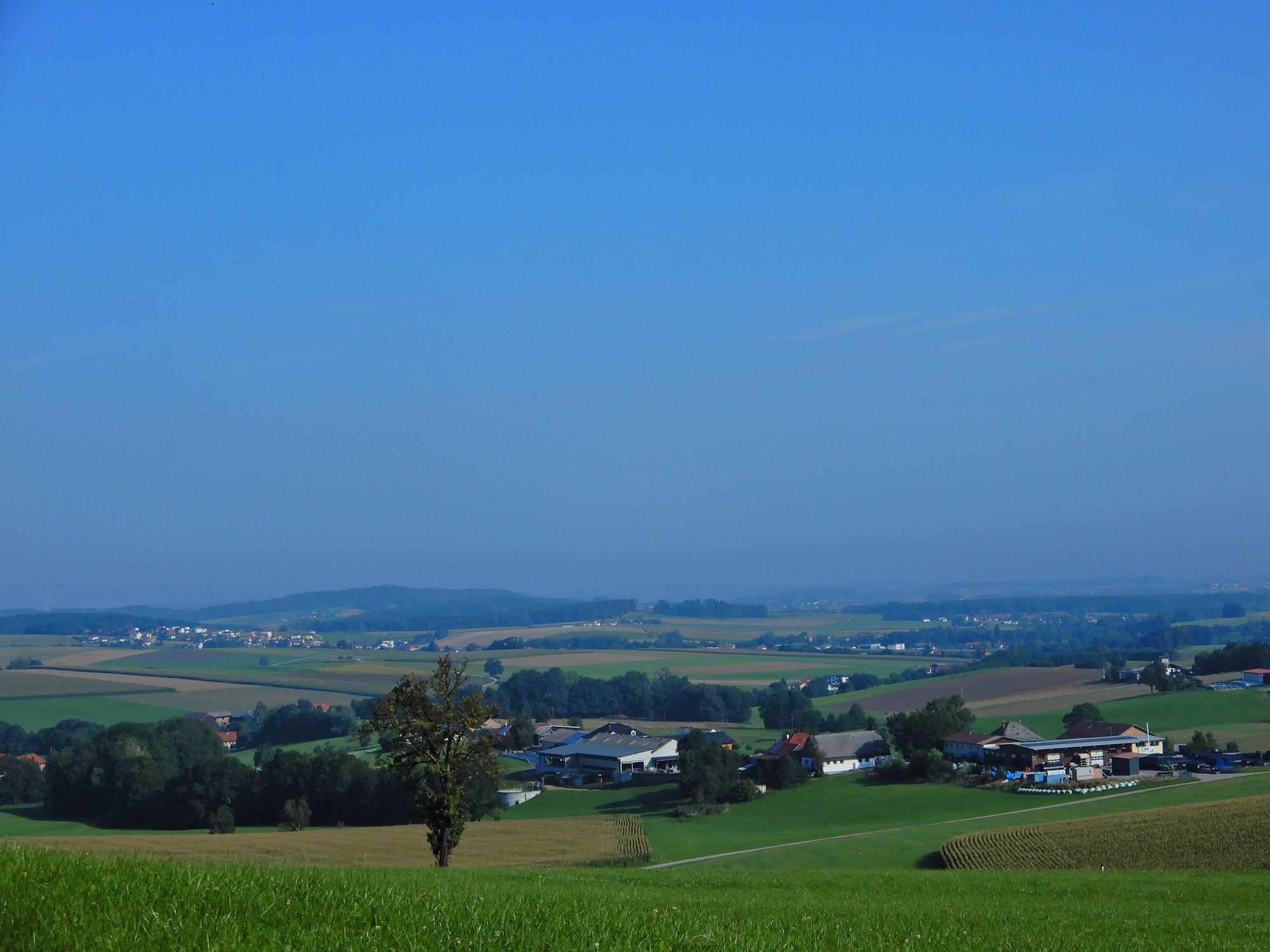
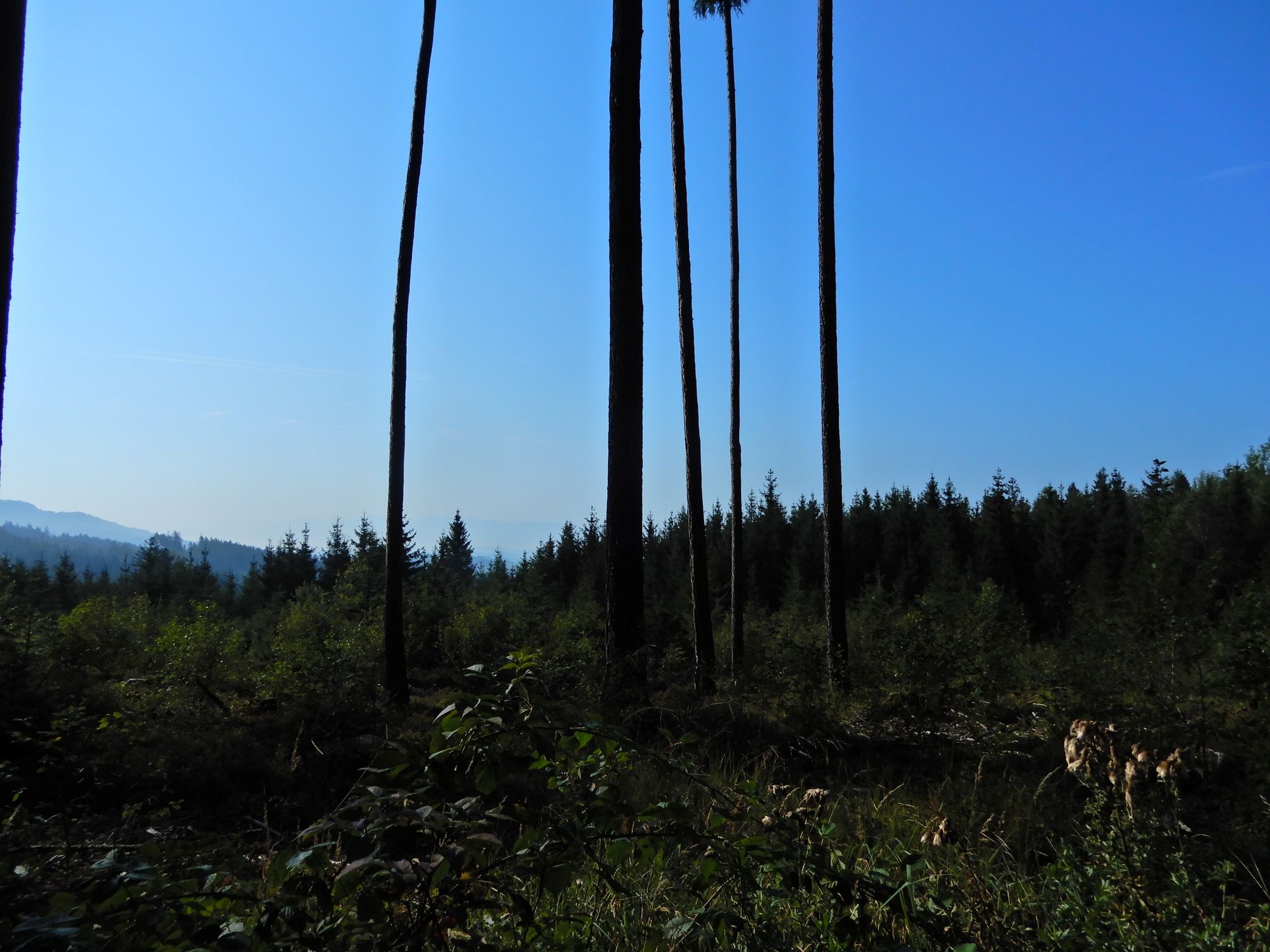
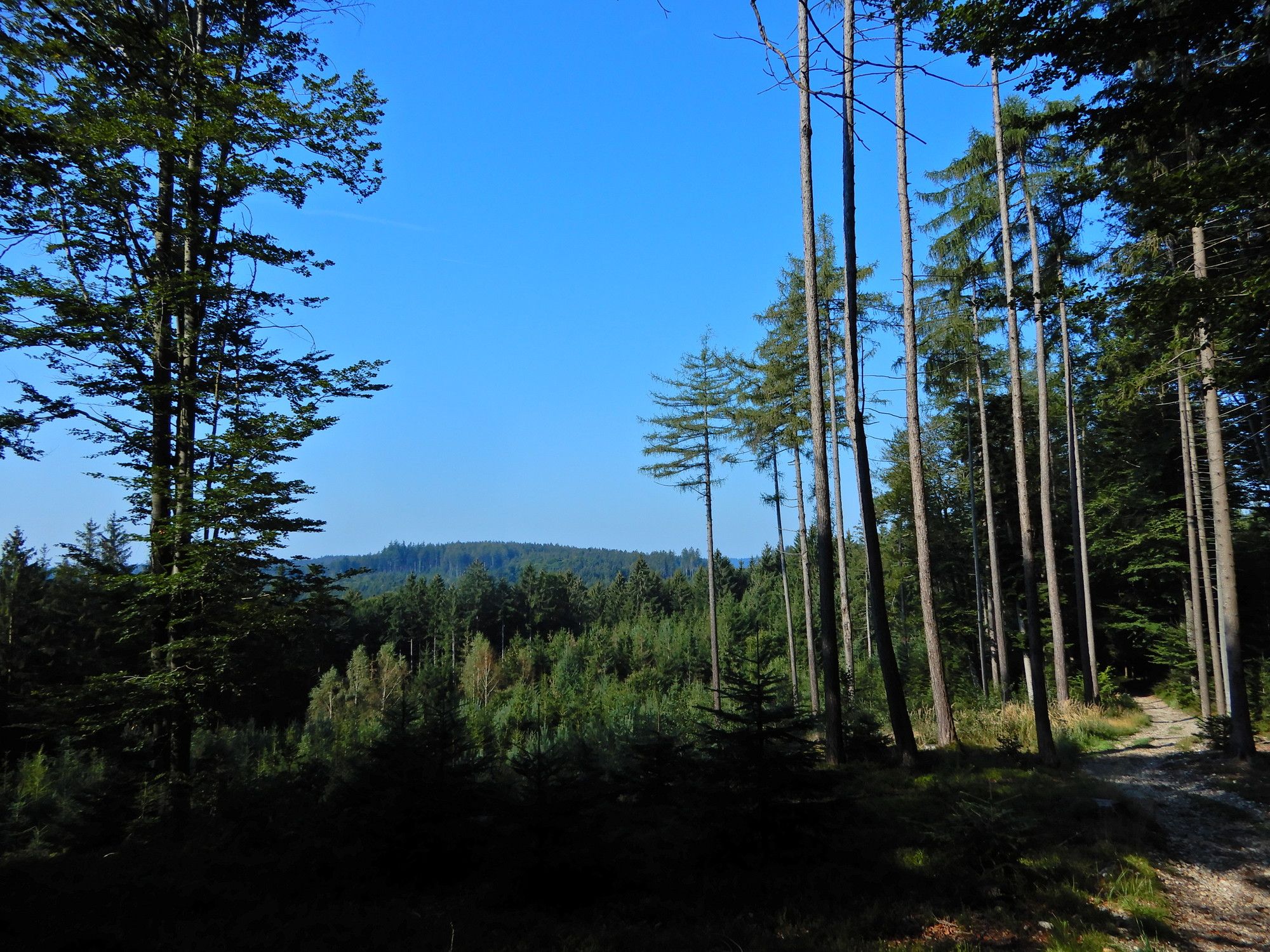
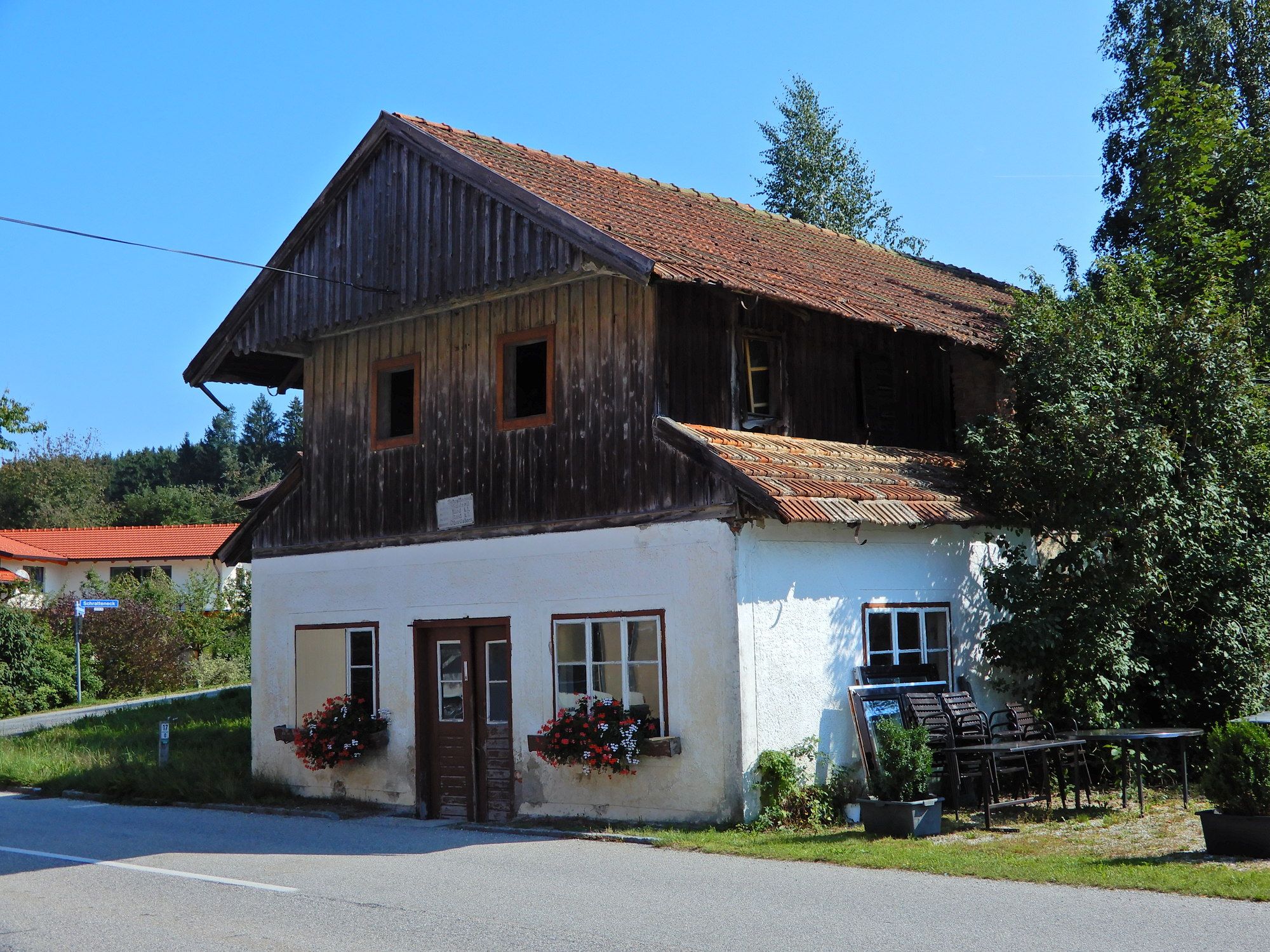
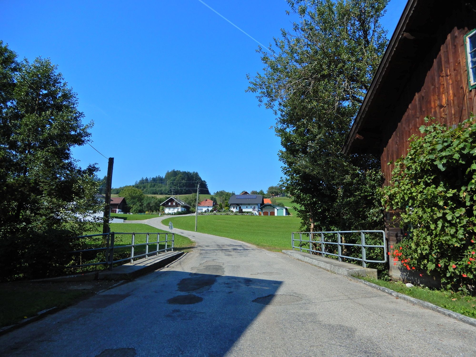
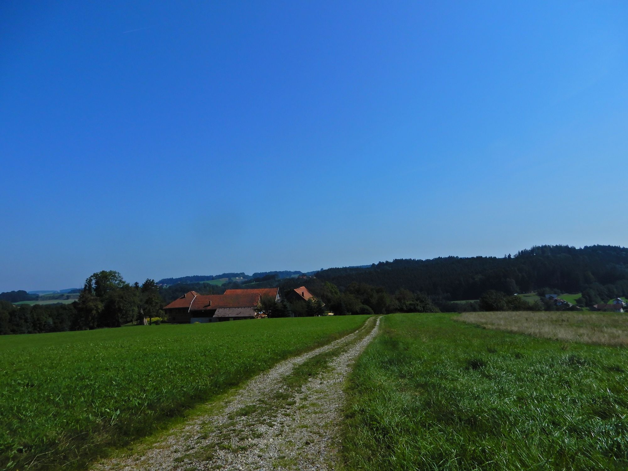
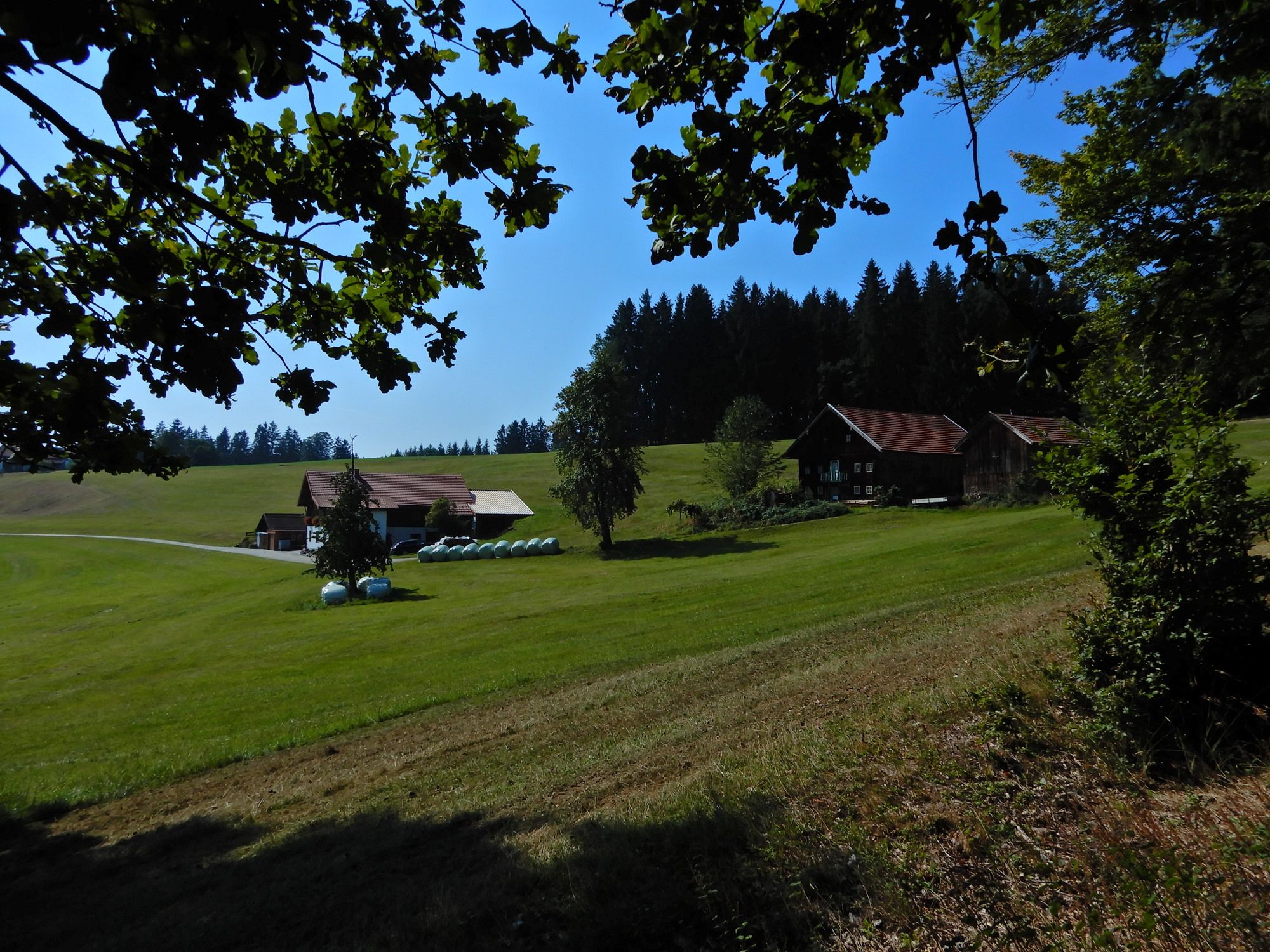
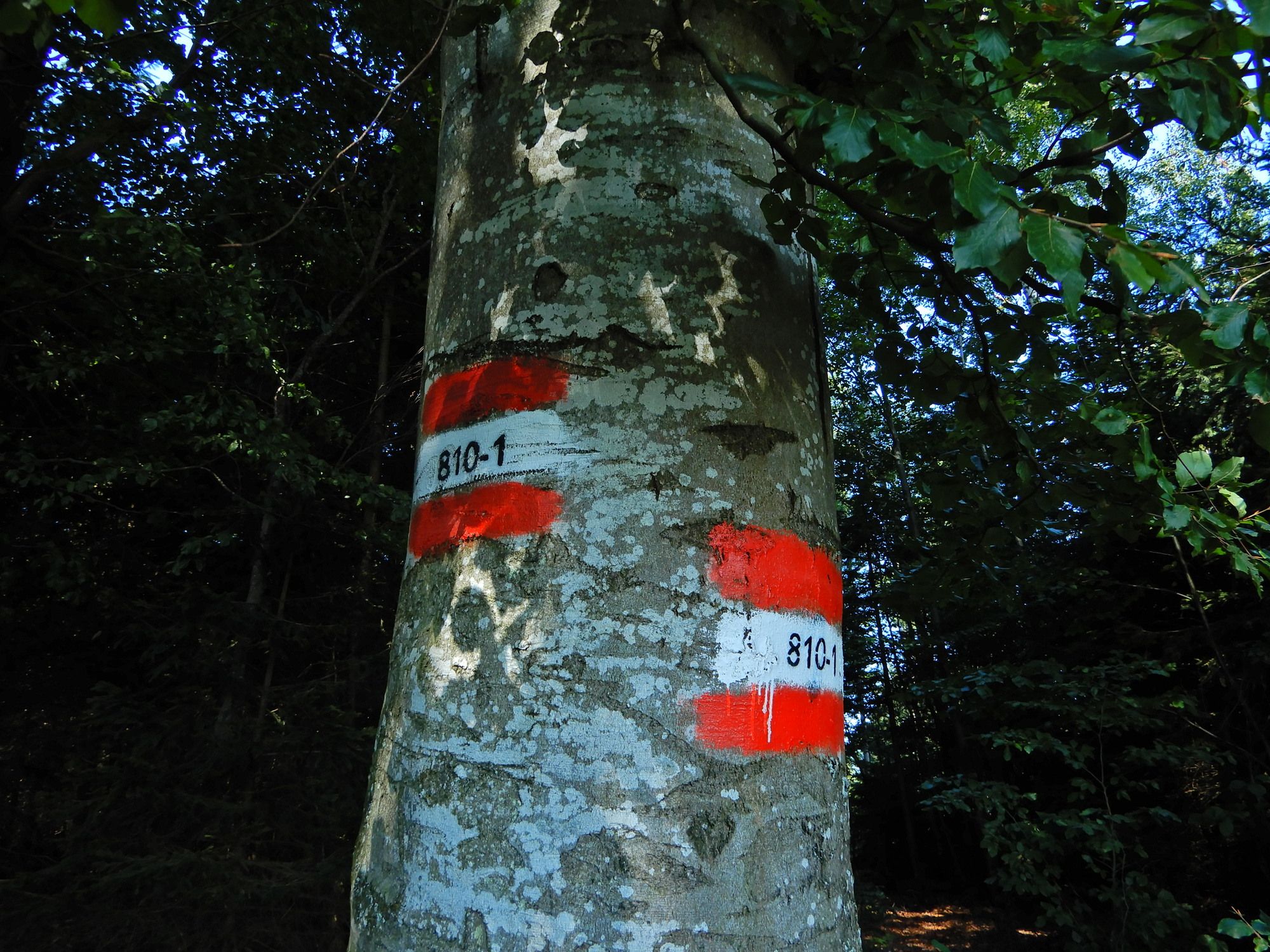
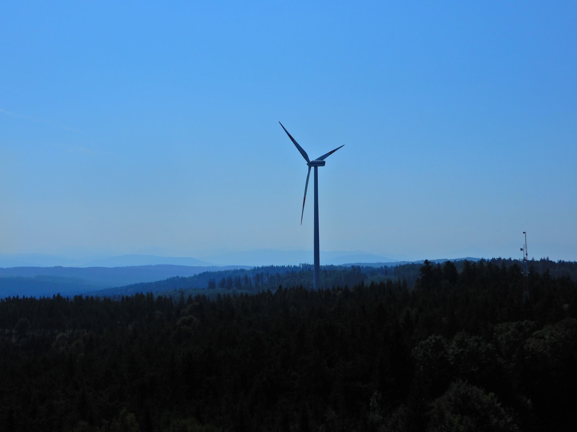
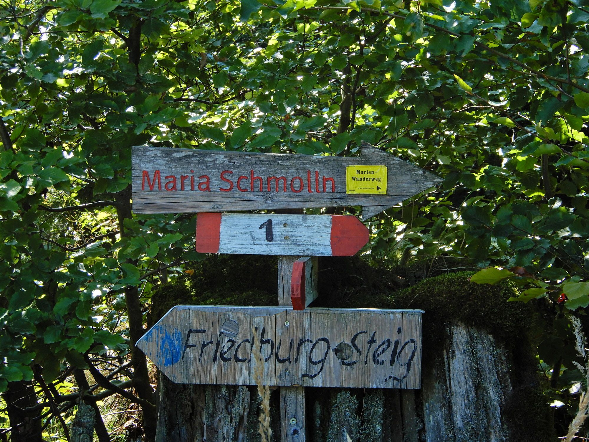
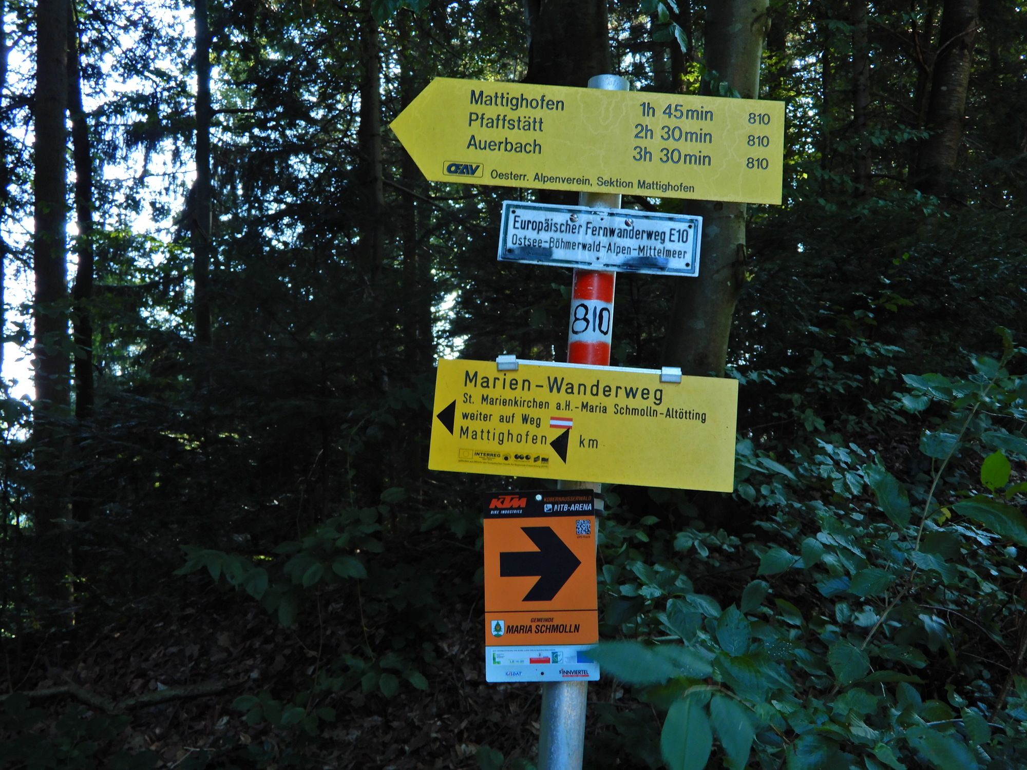
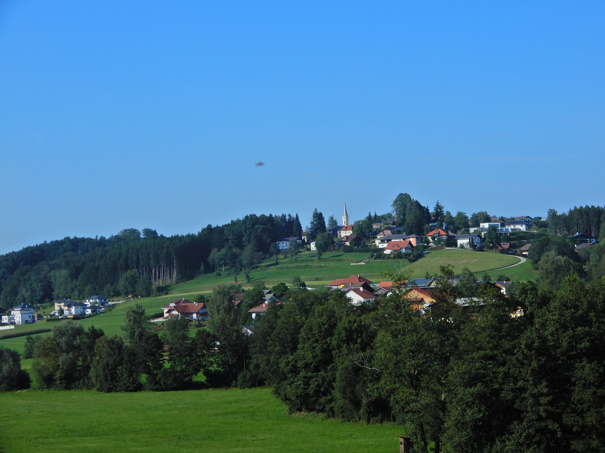
Pramet - Feitzing - Schratteneck - Steiglberg - Frauschereck - Scherfeck - Höh - Unterminathal bei Maria Schmolln
- Difficulty
-
medium
- Rating
-
- Starting point
-
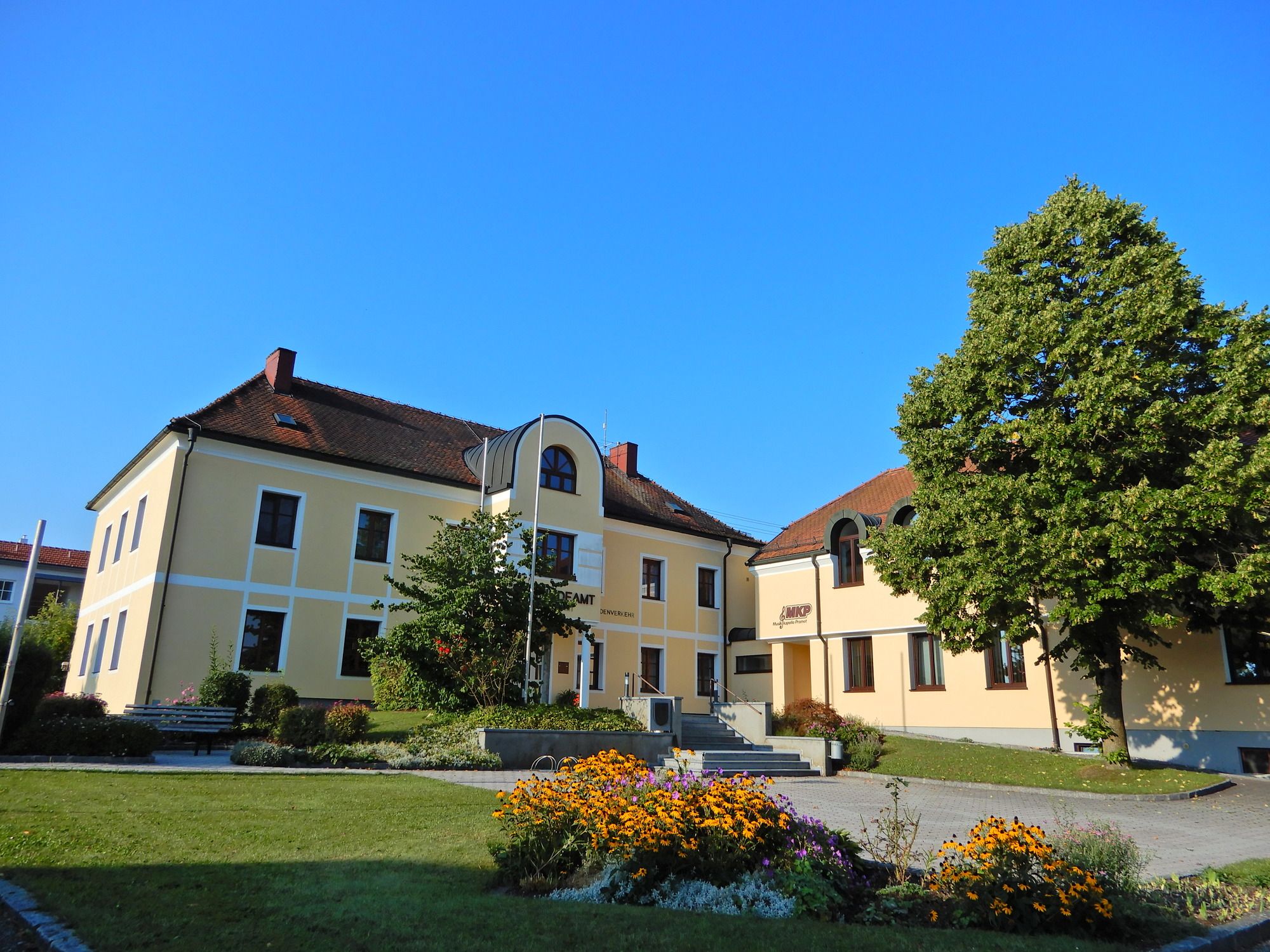
Pramet
- Route
-
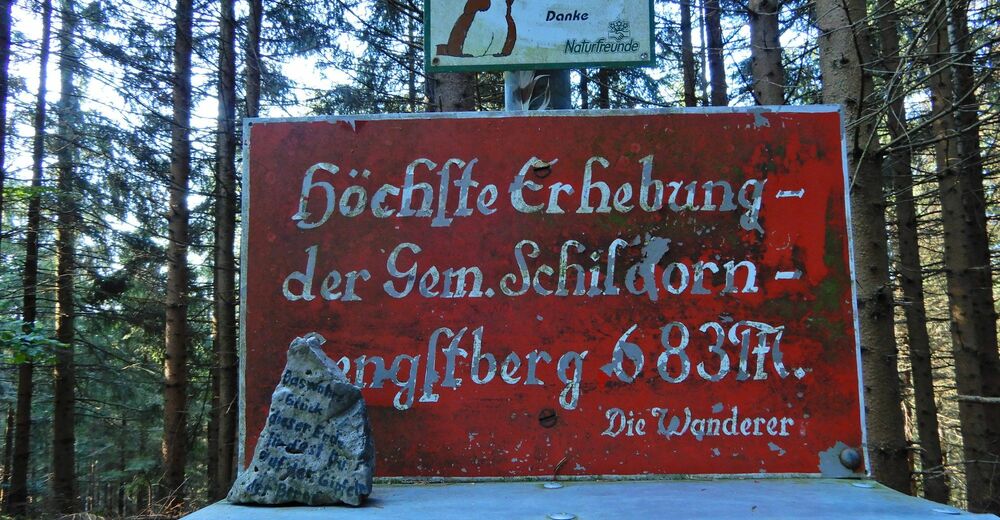
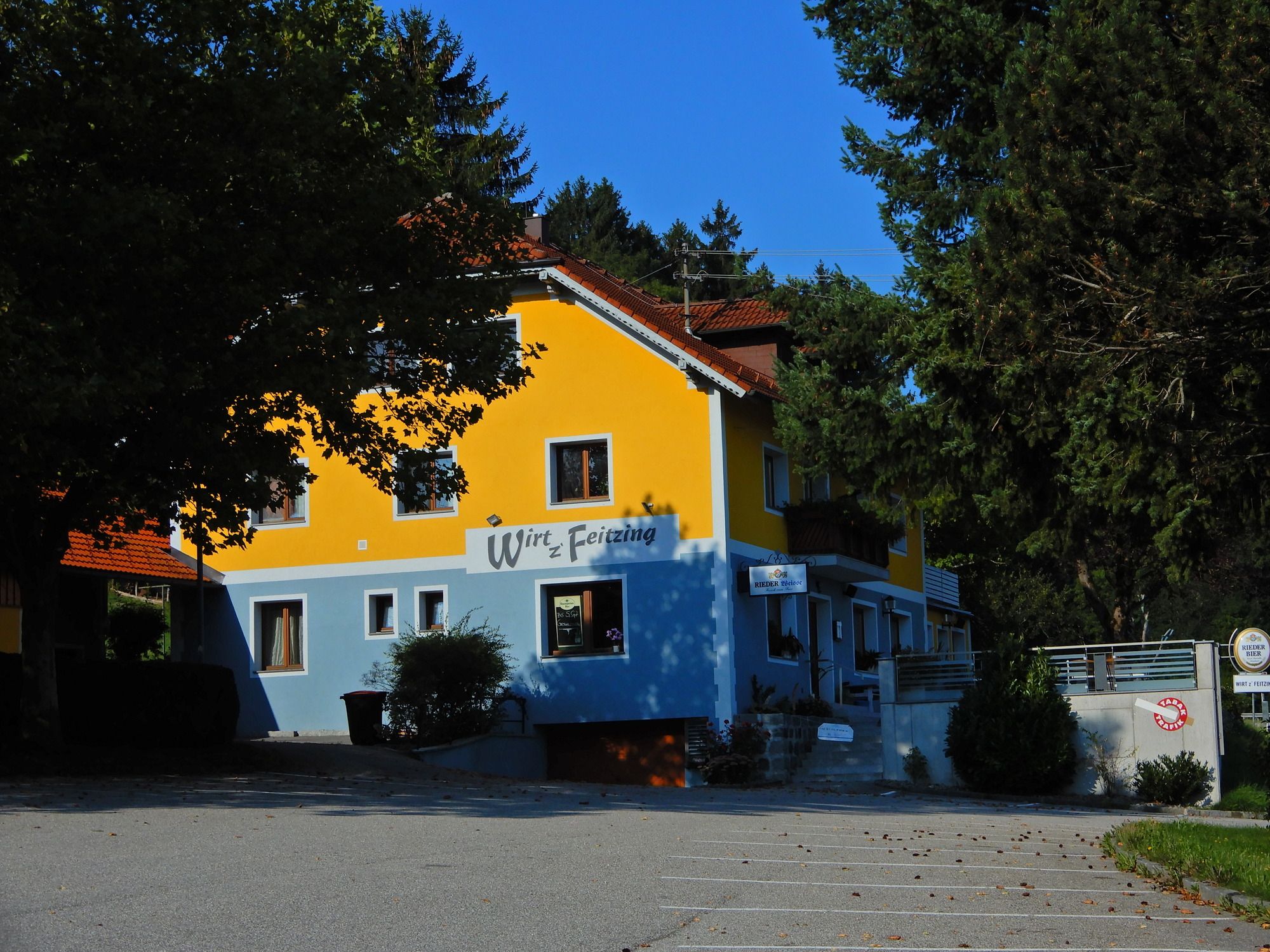
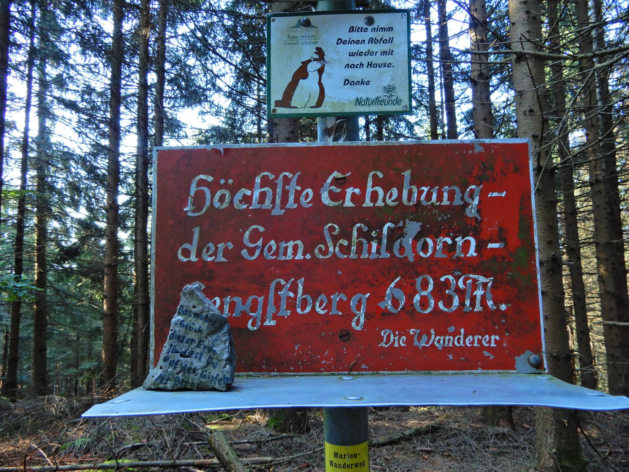
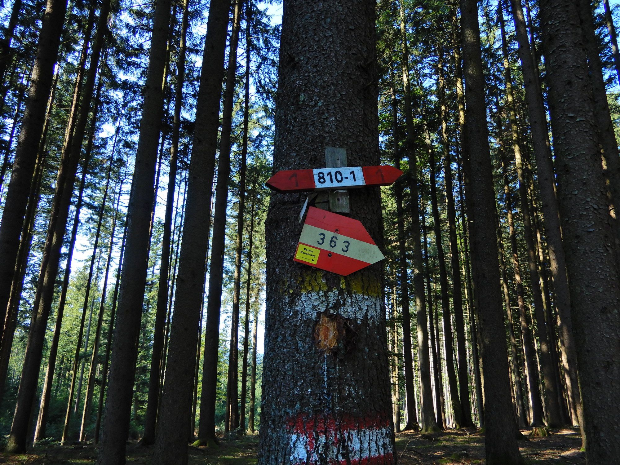
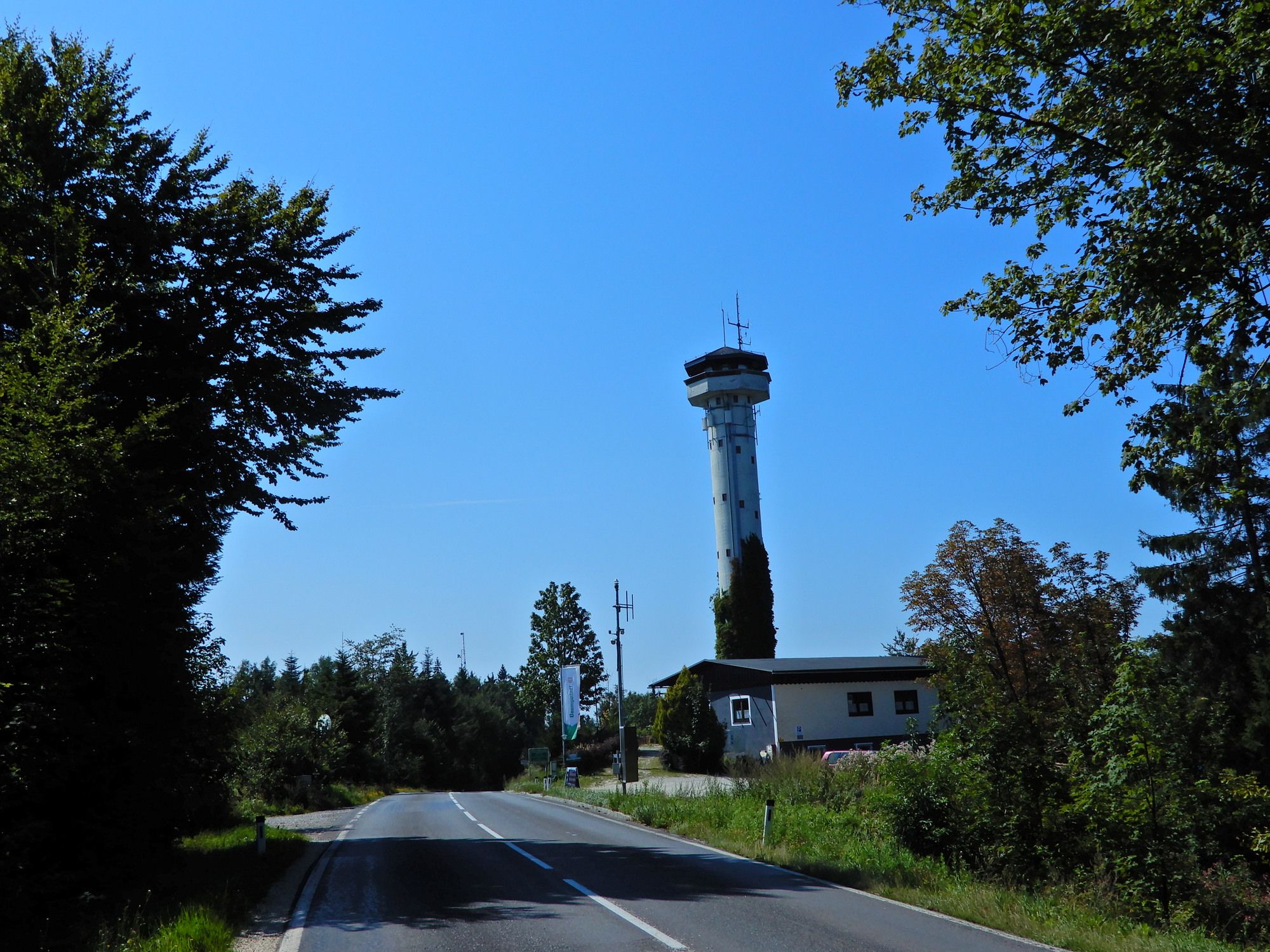
Prameter Hof0.0 kmPramet0.0 kmKnirzing0.4 kmFeitzing2.7 kmWirt´z Feitzing2.9 kmHengstberg (685 m)5.3 kmSchmiedwirt10.1 kmSteiglberg (767 m)15.4 kmTurmwirt15.5 kmFrauschereck20.5 kmGasthaus Berer "Wirt in Frauschereck"20.6 kmScherfeck25.2 kmBachleiten25.9 kmHöh27.4 kmUnterminathal31.4 kmMinathaler Hof31.5 km
- Best season
-
JanFebMarAprMayJunJulAugSepOctNovDec
- Highest point
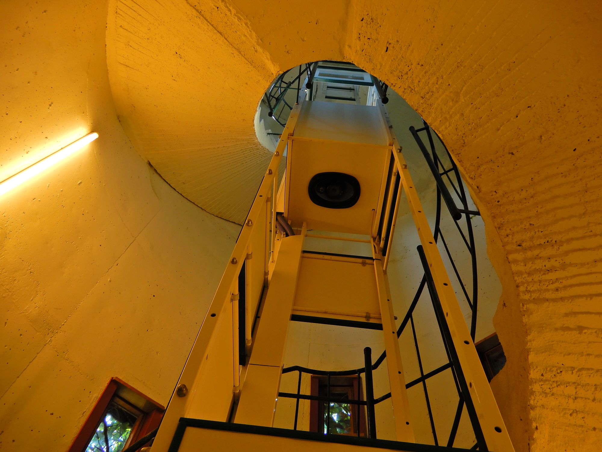
- 758 m
- Endpoint
-
Unterminathal bei Maria Schmolln
- Rest/Retreat
-
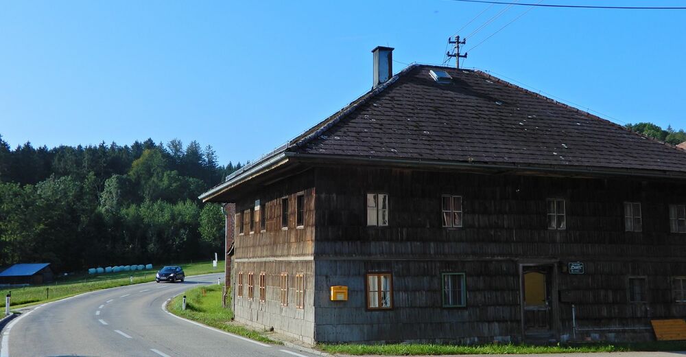
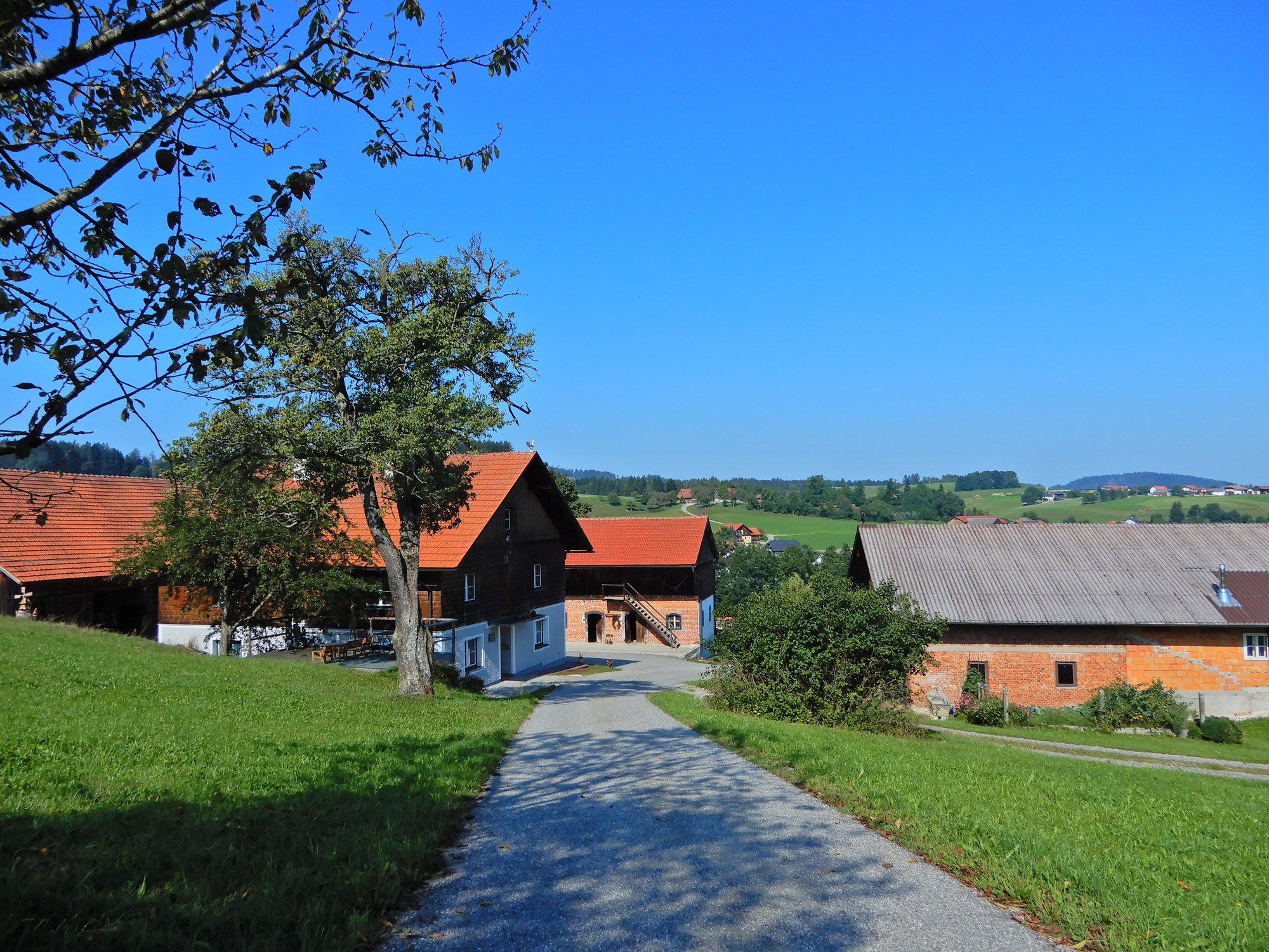
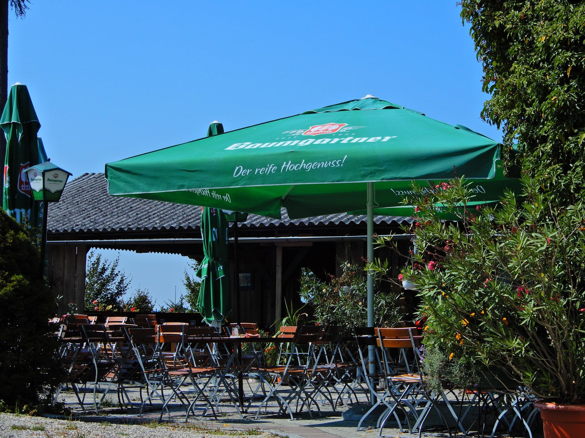
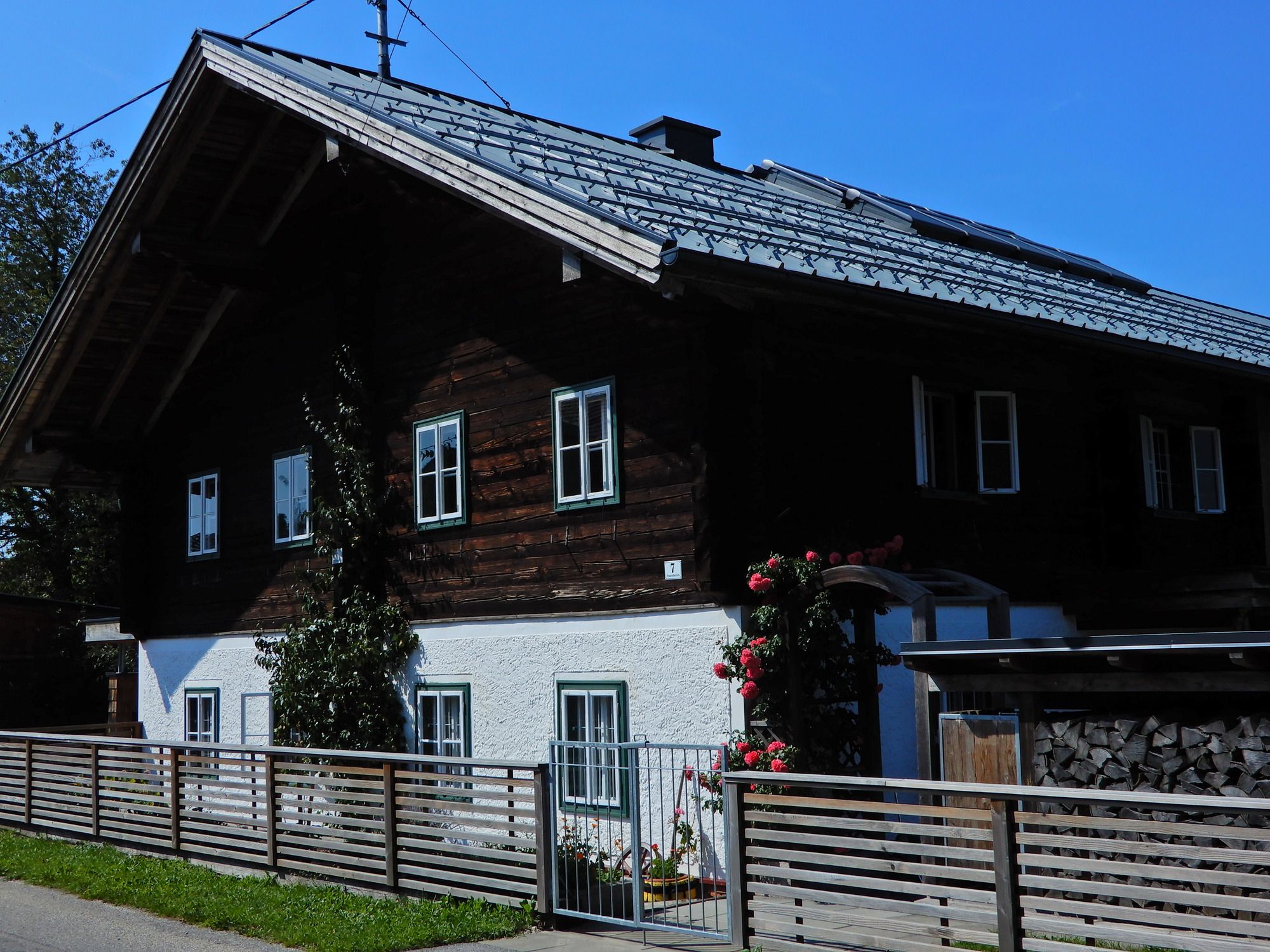
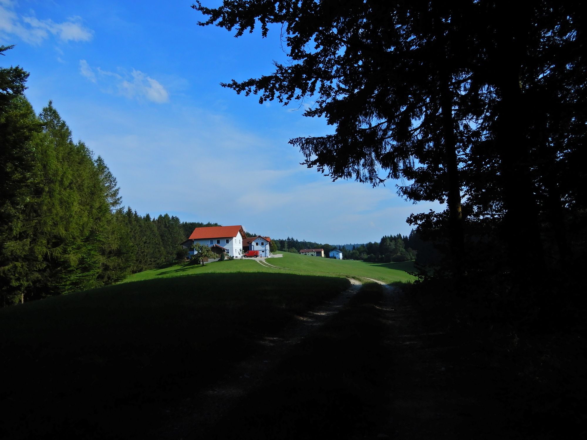
Schmiedwirt in Schratteneck, Turmwirt am Steiglberg, Minathalerhof in Unterminathal + Nächtigung
- Information
-
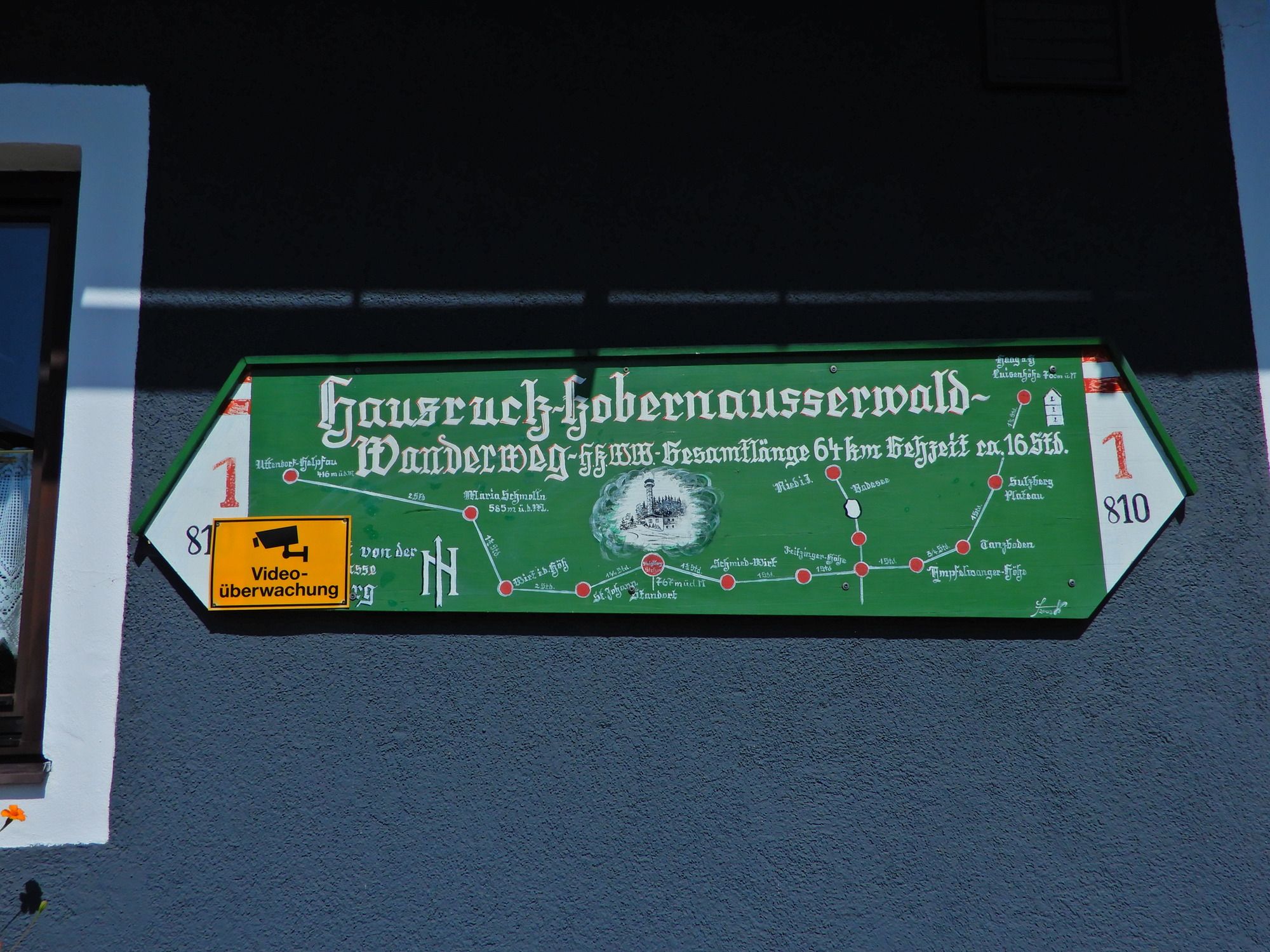
Österreichischer Weitwanderweg 10, Rupertiweg, Vom Böhmerwald zu den Karnischen Alpen, Erika und Fritz Käfer
- Ticket material
-
BEV


GPS Downloads


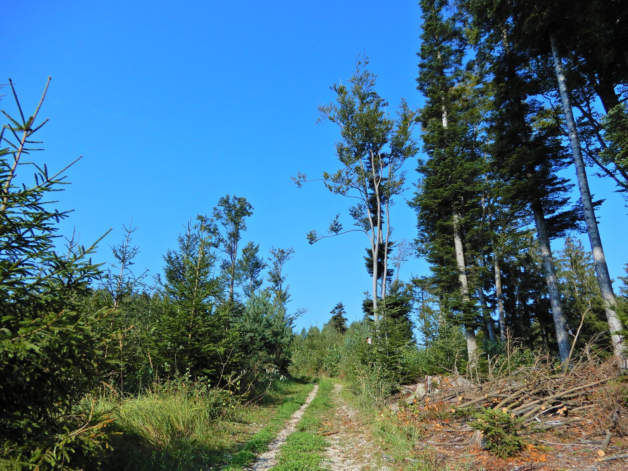
Trail conditions
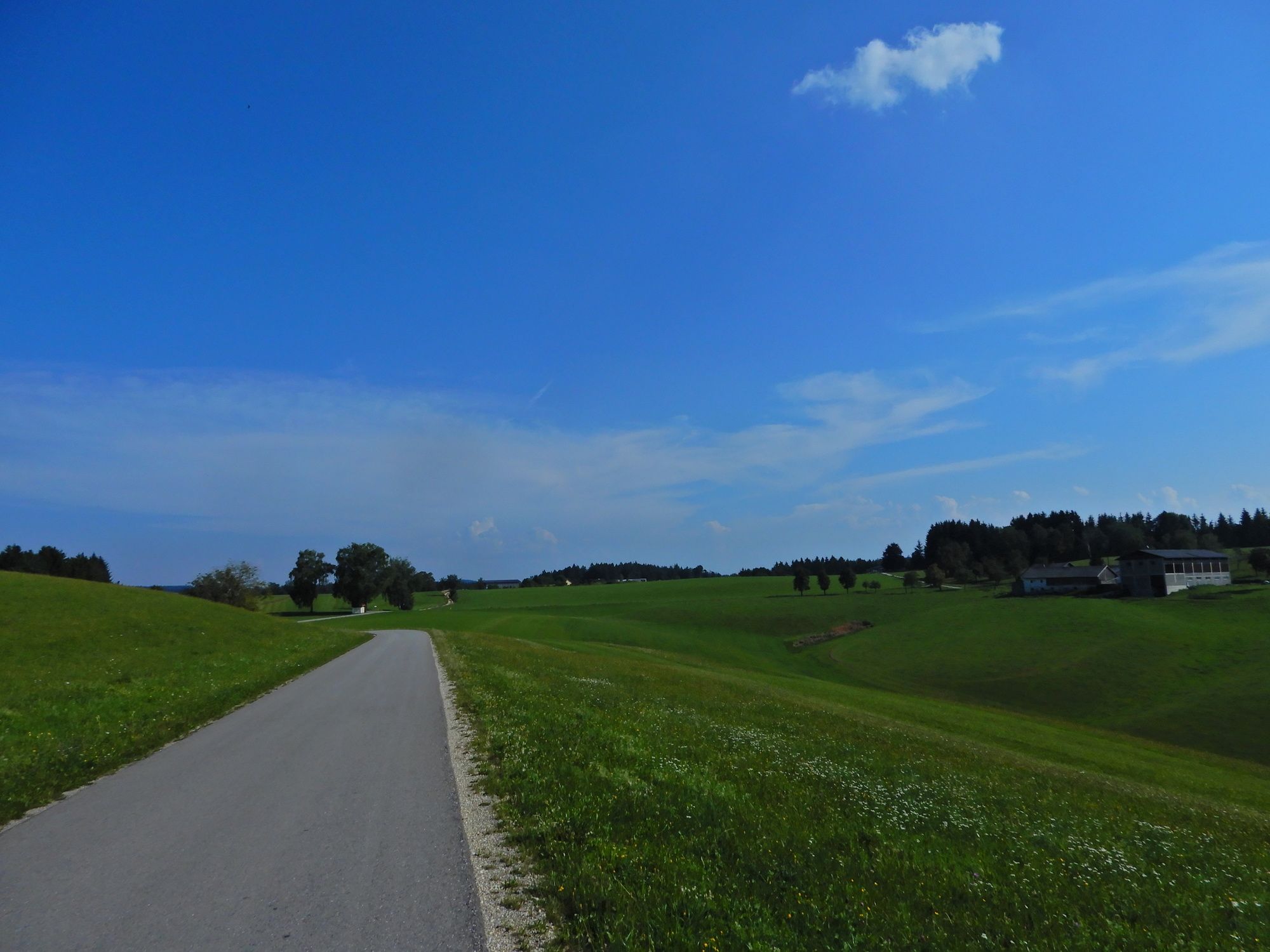
Asphalt
Gravel
Meadow
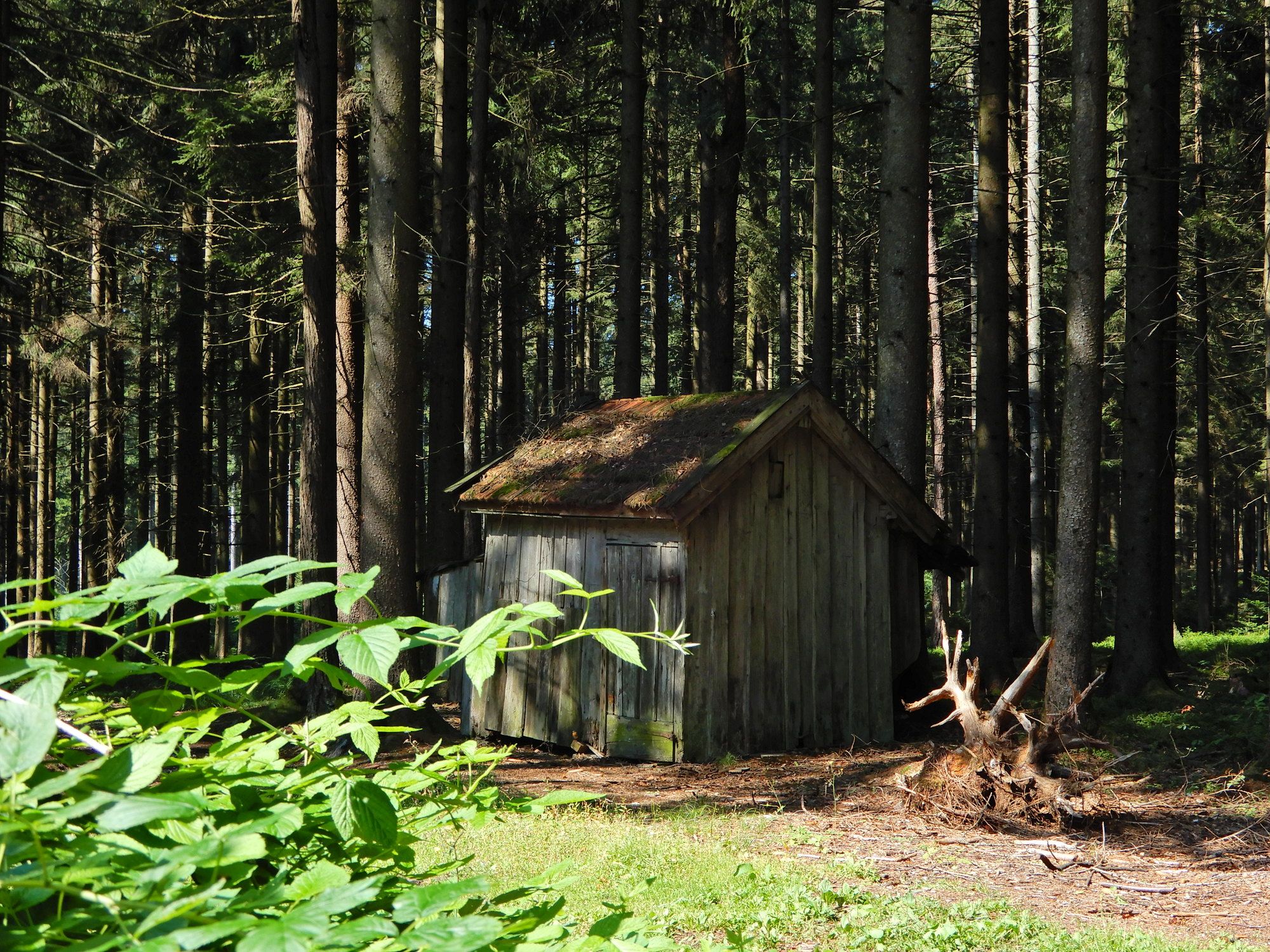
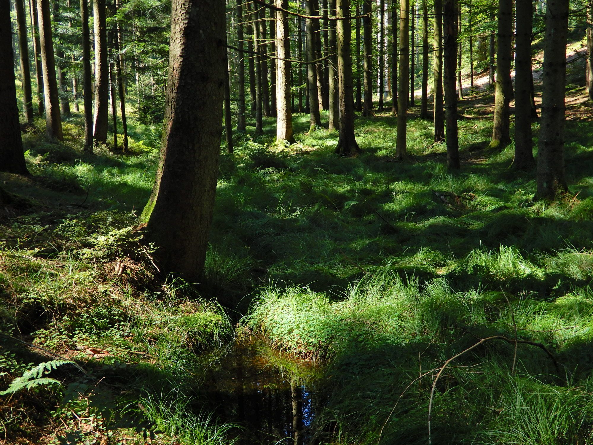
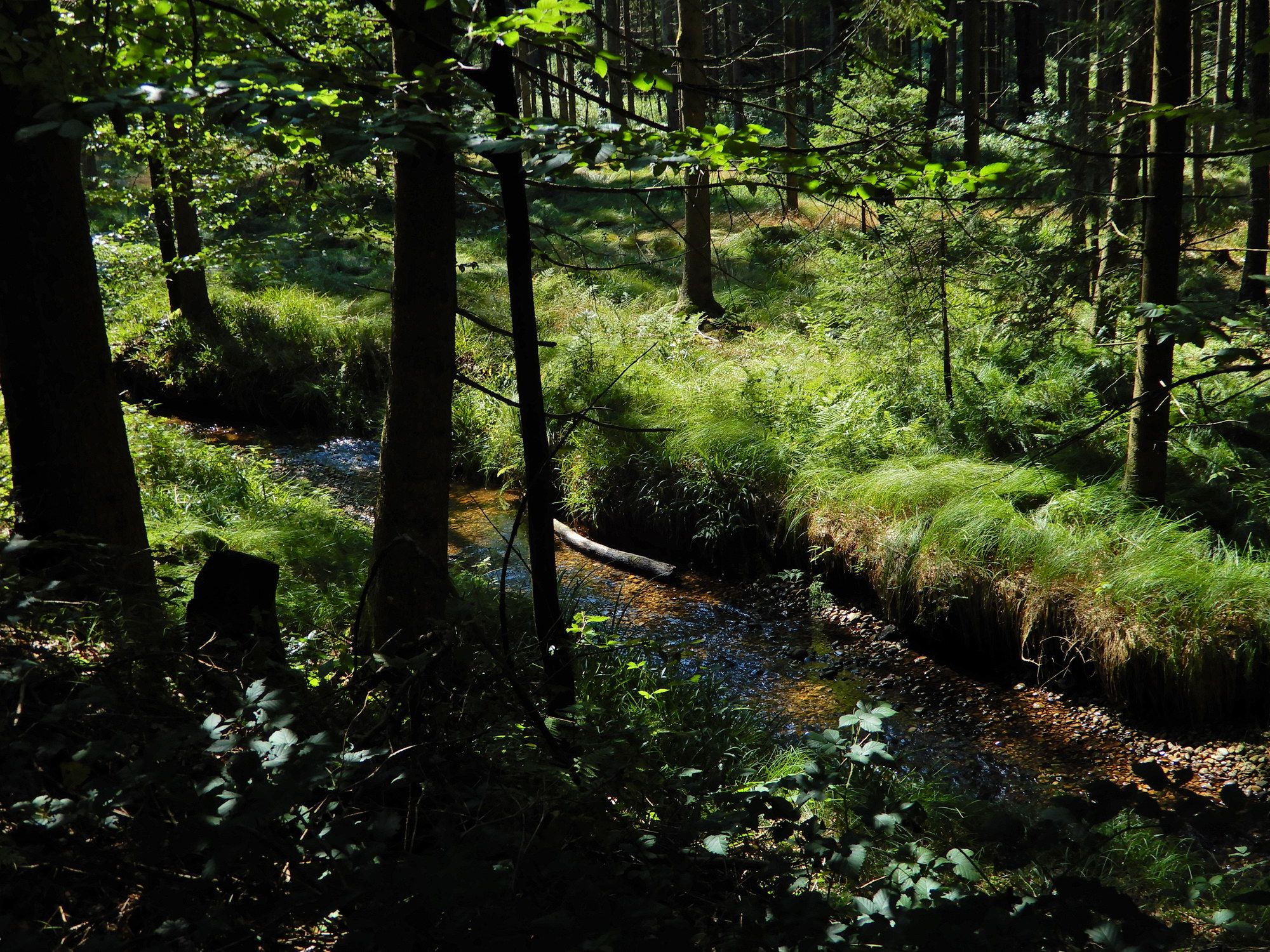
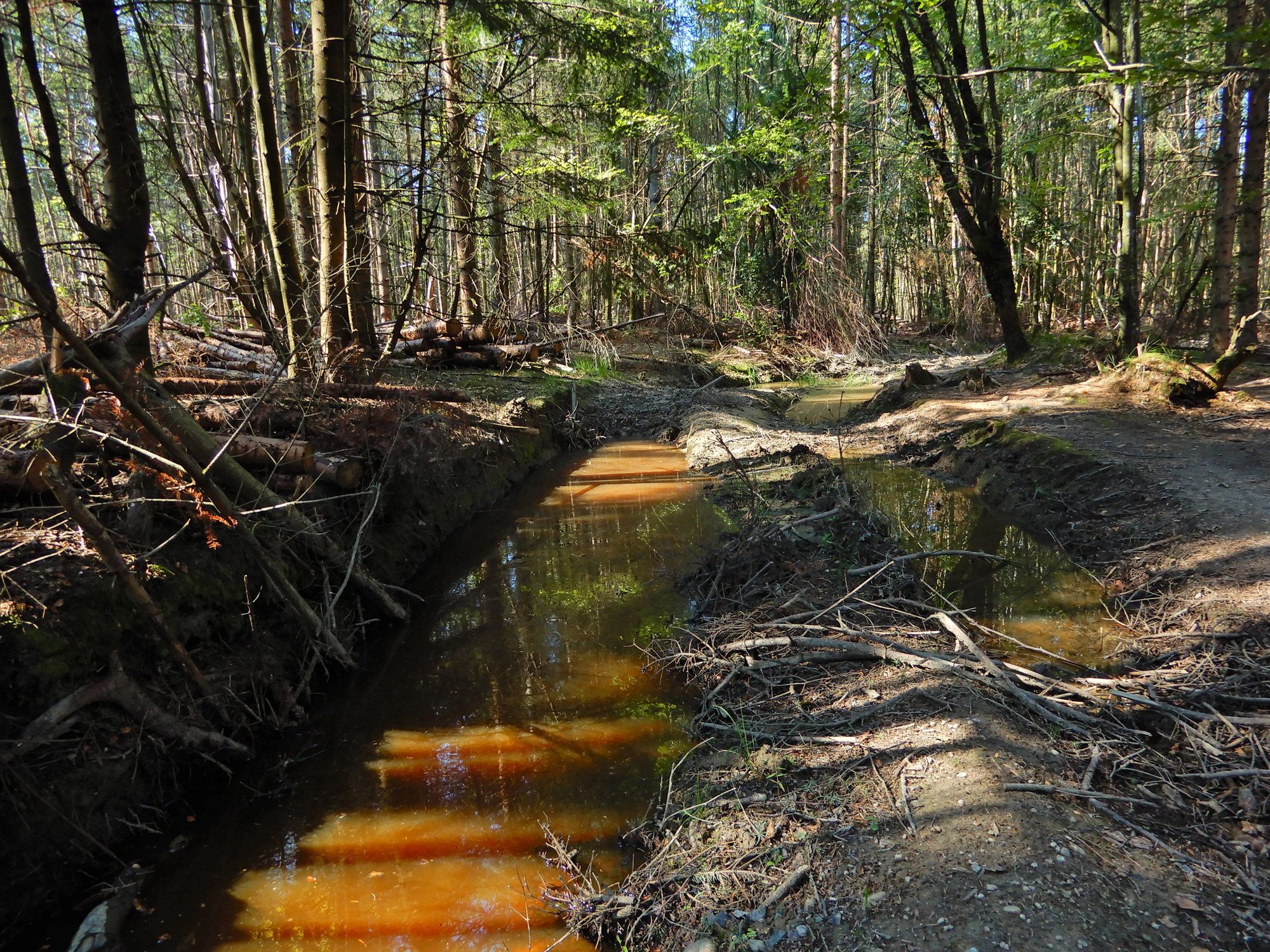
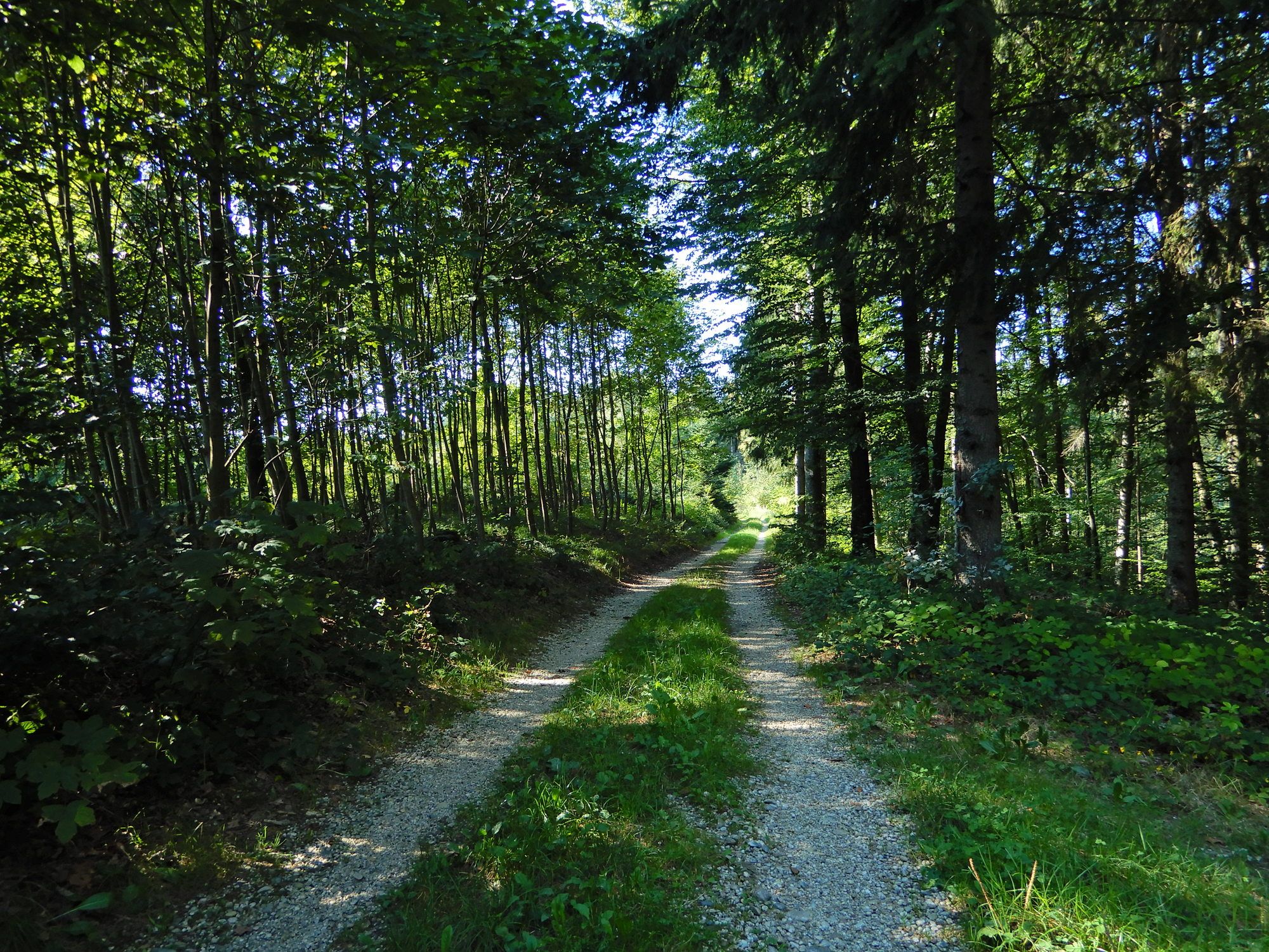
Forest
Rock
Exposed
Other tours in the regions
-
Innviertel
797
-
s'Innviertel
341
-
Lohnsburg am Kobernaußerwald
93