© http://zelenikras.si/ - EVA dinarica


- Brief description
-
The trail is 1.7 km long, estimated travel time: 45 minutes. (this is a computer made reconstruction of the route, just to give you an idea)
- Difficulty
-
easy
- Rating
-
- Starting point
-
Gostišče Mašun
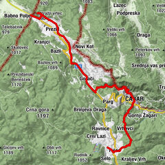
- Route
-
Gostišče MašunMašun0.0 kmMašun (1,028 m)0.2 kmAnina skala (1,060 m)0.8 kmMedvedov brlog (1,050 m)0.8 km
- Best season
-
JanFebMarAprMayJunJulAugSepOctNovDec
- Description
-
At Mašun, a popular hiking destination, visitors can take a stroll along the forest trail, which was designed in 1888. In 1997, information boards were placed along the trail. 8 points of interest.
http://zelenikras.si/en/attractions/theme-trails
- Highest point
- 1,057 m
- Endpoint
-
Gostišče Mašun
- Height profile
-
 © outdooractive.com
 - Additional information

-

-
AuthorThe tour The Mašun Forest Educational Trail is used by outdooractive.com provided.
GPS Downloads


General info
Refreshment stop
Cultural/Historical
Flora
Fauna
Other tours in the regions