© Sauerland-Tourismus e.V. - Klaus-Peter Kappest

© Sauerland-Tourismus e.V. - Julia Fust

© Sauerland-Tourismus e.V. - Julia Fust

© Sauerland-Tourismus e.V. - Julia Fust

© Sauerland-Tourismus e.V. - Julia Fust

© Sauerland-Tourismus e.V. - Julia Fust

- Brief description
-
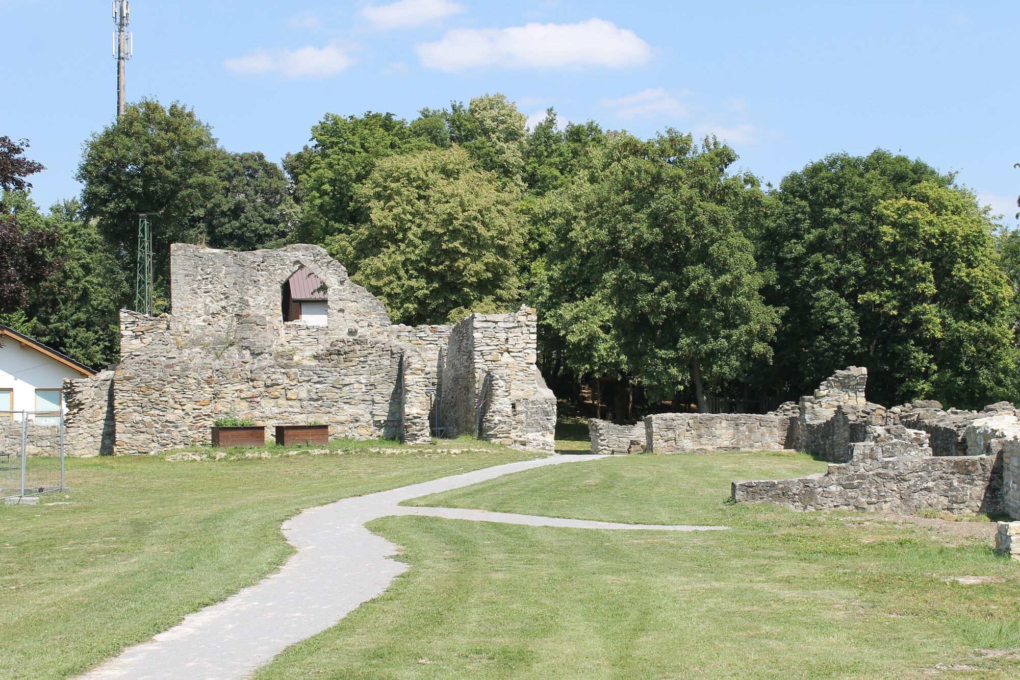
Naturhighlights, wechselnde Landschaften und auf den Spuren der alten Römer - eine Etappe voller Erlebnisse!
- Difficulty
-
medium
- Rating
-
- Route
-
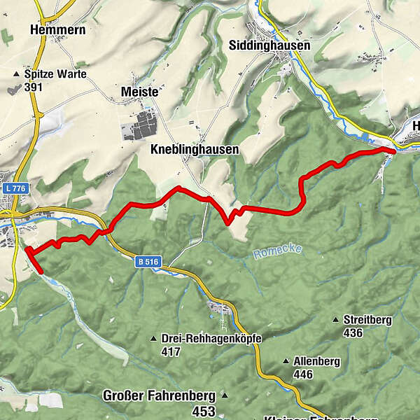
Johanneseiche7.3 kmRüthener Ebene8.2 kmGroßer Kohlenberg8.9 kmRingelstein11.4 km
- Best season
-
JanFebMarAprMayJunJulAugSepOctNovDec
- Highest point
- 406 m
- Endpoint
-
Ringelstein
- Height profile
-
 © outdooractive.com

-

-
AuthorThe tour Waldrouten-Etappe Bibertal - Ringelstein is used by outdooractive.com provided.
GPS Downloads


Other tours in the regions
-
Brilon & Olsberg
1000
-
Büren
63