W7 - Rauchlochweg

Logo W7 - Rauchlochweg
Tour data
9.86km
545 - 737m
Distance
206hm
210hm
Ascent
03:15h
 
Duration
Brief description

Winterberg /

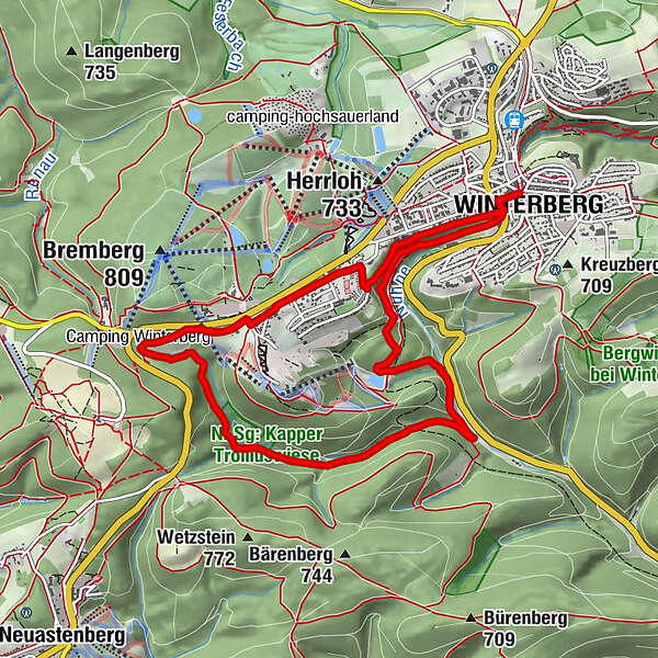
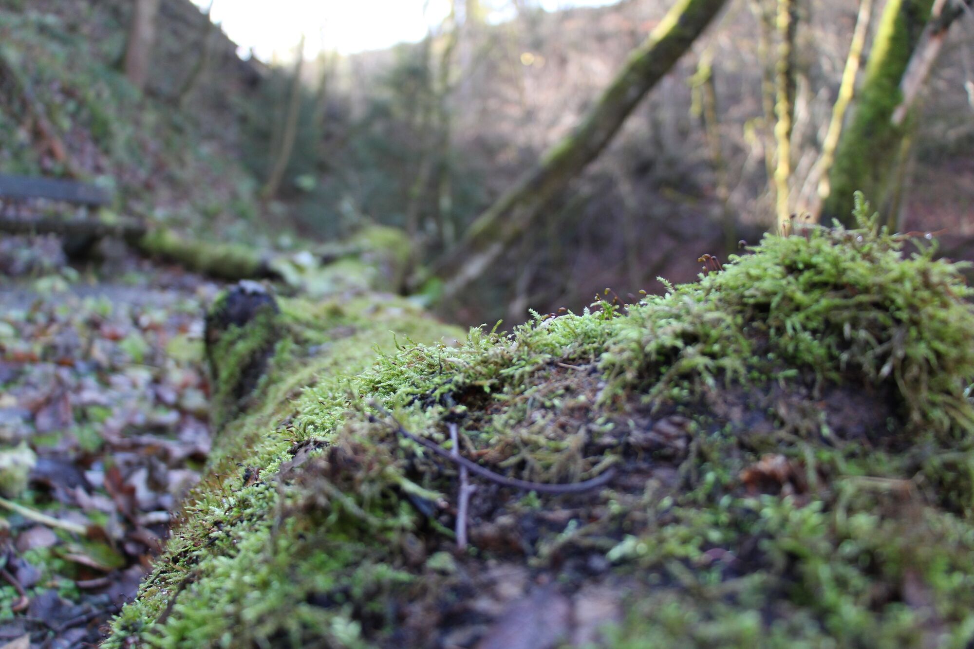
Eine entspannte Wanderung ins sogenannte „Rauchloch“ und weiter in das schöne Waldgebiet der Silbecke.

Difficulty
medium
Rating
Technique
Fitness
Landscape
Experience
Route
Winterberg (668 m)
Im Sonneborn
3.3 km
Winterberg (668 m)
9.8 km

Best season
Jan
Feb
Mar
Apr
May
Jun
Jul
Aug
Sep
Oct
Nov
Dec
Highest point
737 m
Endpoint

Winterberg, Marktplatz "Untere Pforte"

Height profile
© outdooractive.com

Author
The tour W7 - Rauchlochweg is used by outdooractive.com provided.

5,0
Overall rating

5

100

%

4

0

%

3

0

%

2

0

%

1

0

%

All ratings
KarinOlaf
08. Apr. 2024
Winterberg
You find this review helpful You and 1 person found this review helpful You and People find this review helpful 1 person found this review helpful People find this review helpful
|
Report a problem

Please enter your e-mail address so that we can contact you if we have any questions. You can also tell us more about the problem you discovered with this review here.

Thank you for your message

We will check this as soon as possible.

GPS Downloads
  • GPX GPS Exchange Format (XML)
  • KML Google Earth, Google Maps
QR Download Codes for Mobile Phones

General info

Refreshment stop
Cultural/Historical
A lot of view
Other tours in the regions

Popular tours in the area

Brilon-Wald (BW2)

medium Hiking
7km | 146hm | 02:00h

Golddorf Route Bödefeld / Bödefelder Hollenpfad

medium Hiking
9.86km | 286hm | 03:00h

Winterwanderung zur Graf Stollberg Hütte

difficult Hiking
10.98km | 144hm | 03:00h