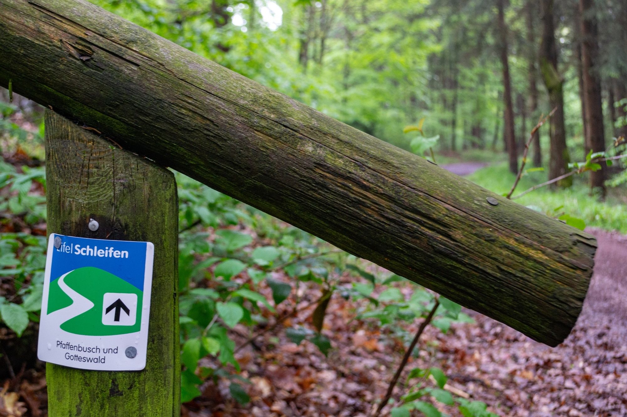
EifelSchleife Pfaffenbusch und Gotteswald (Stadt Bad Münstereifel)

Hiking


- Brief description
-
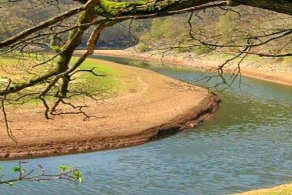
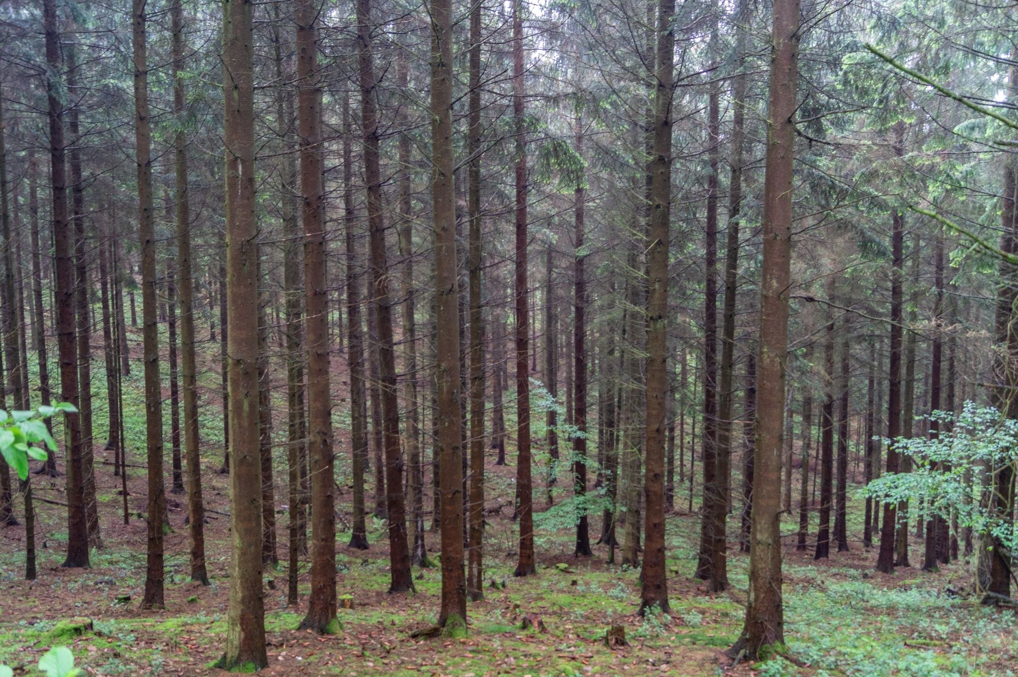
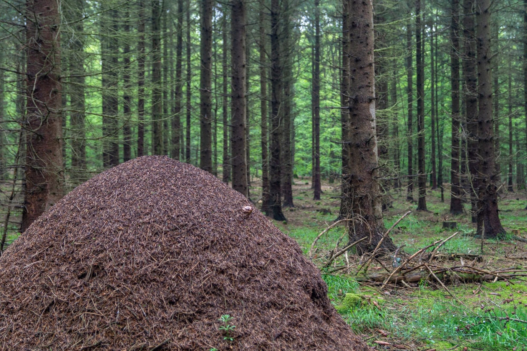
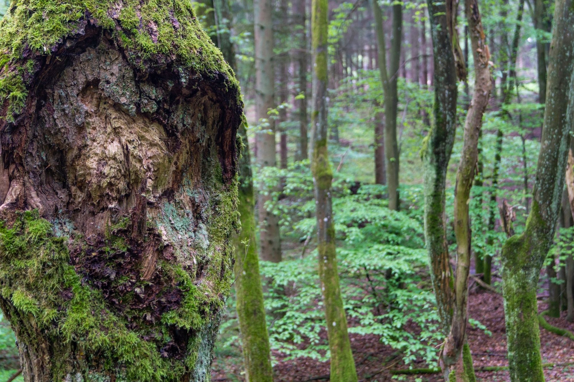
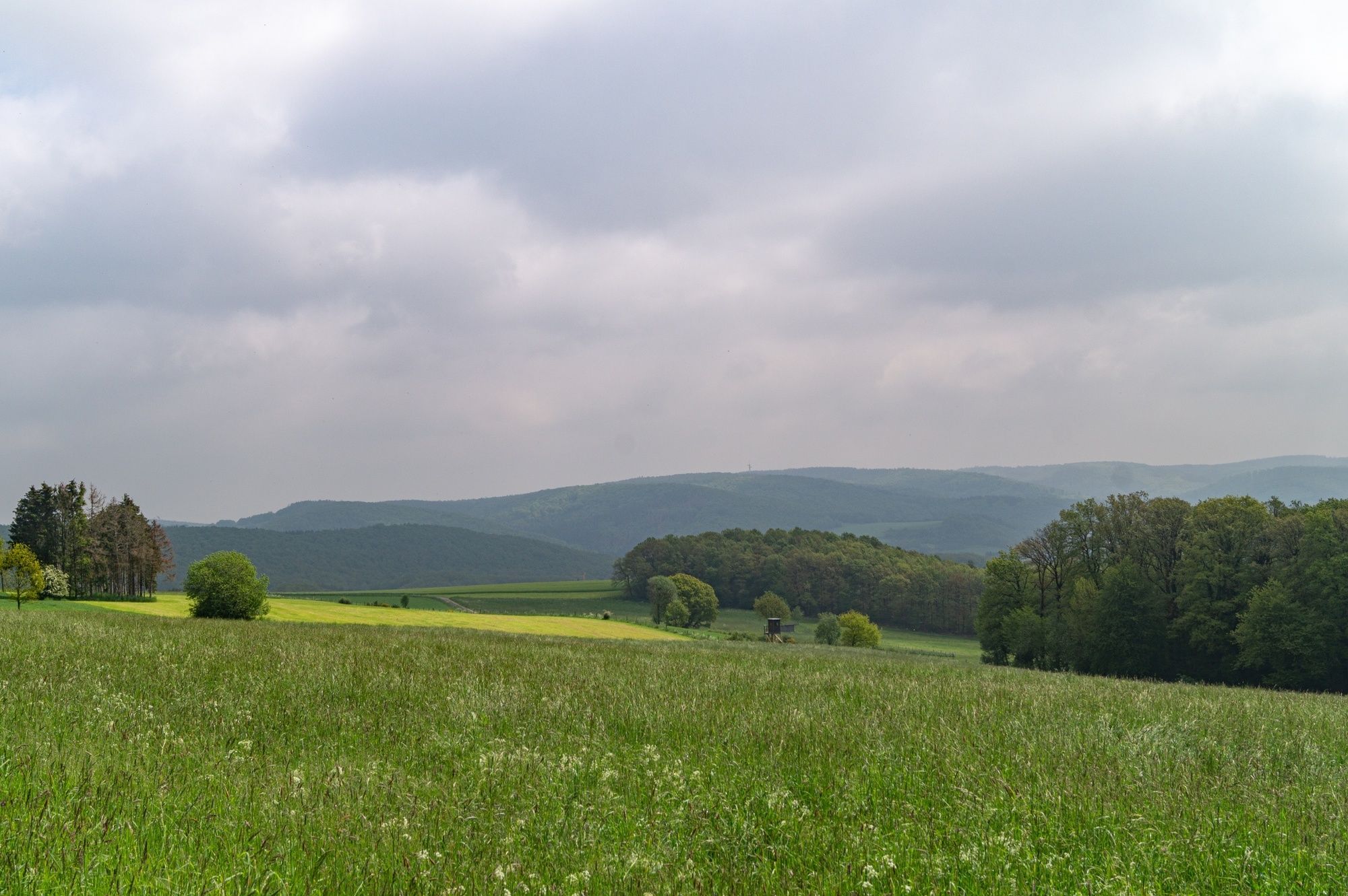
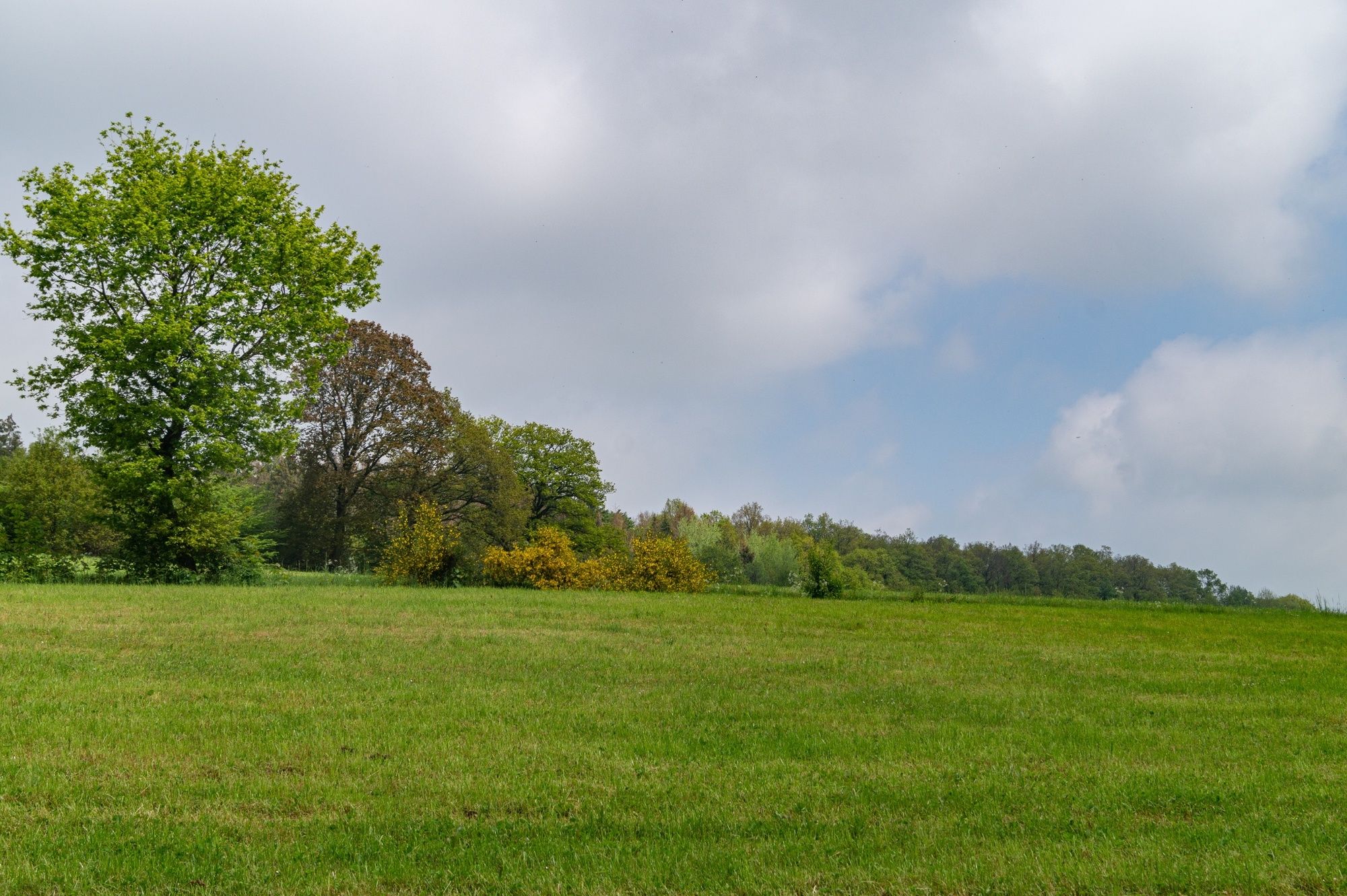
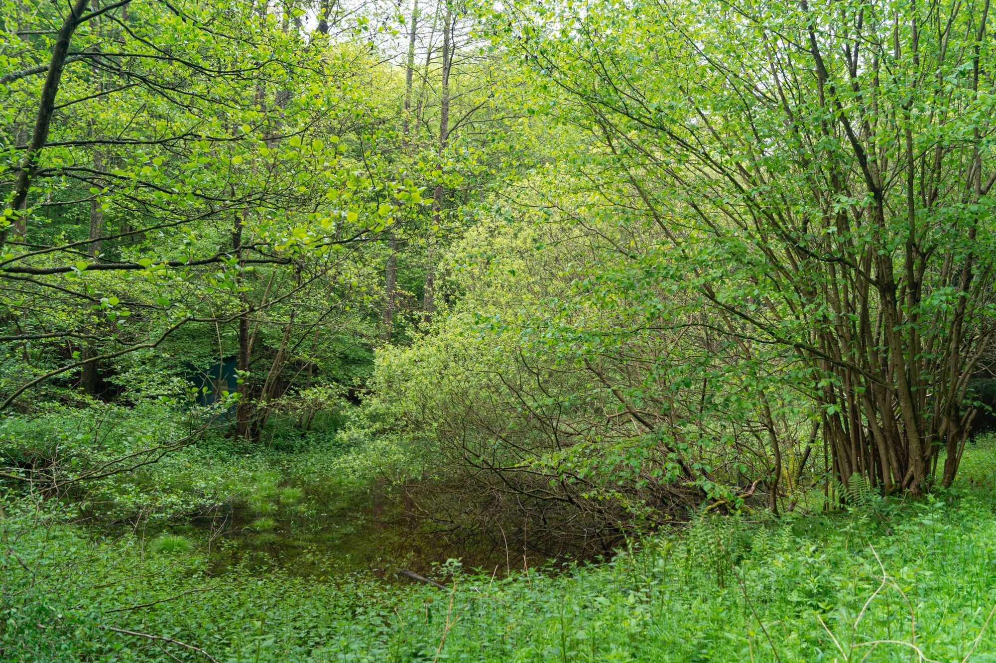
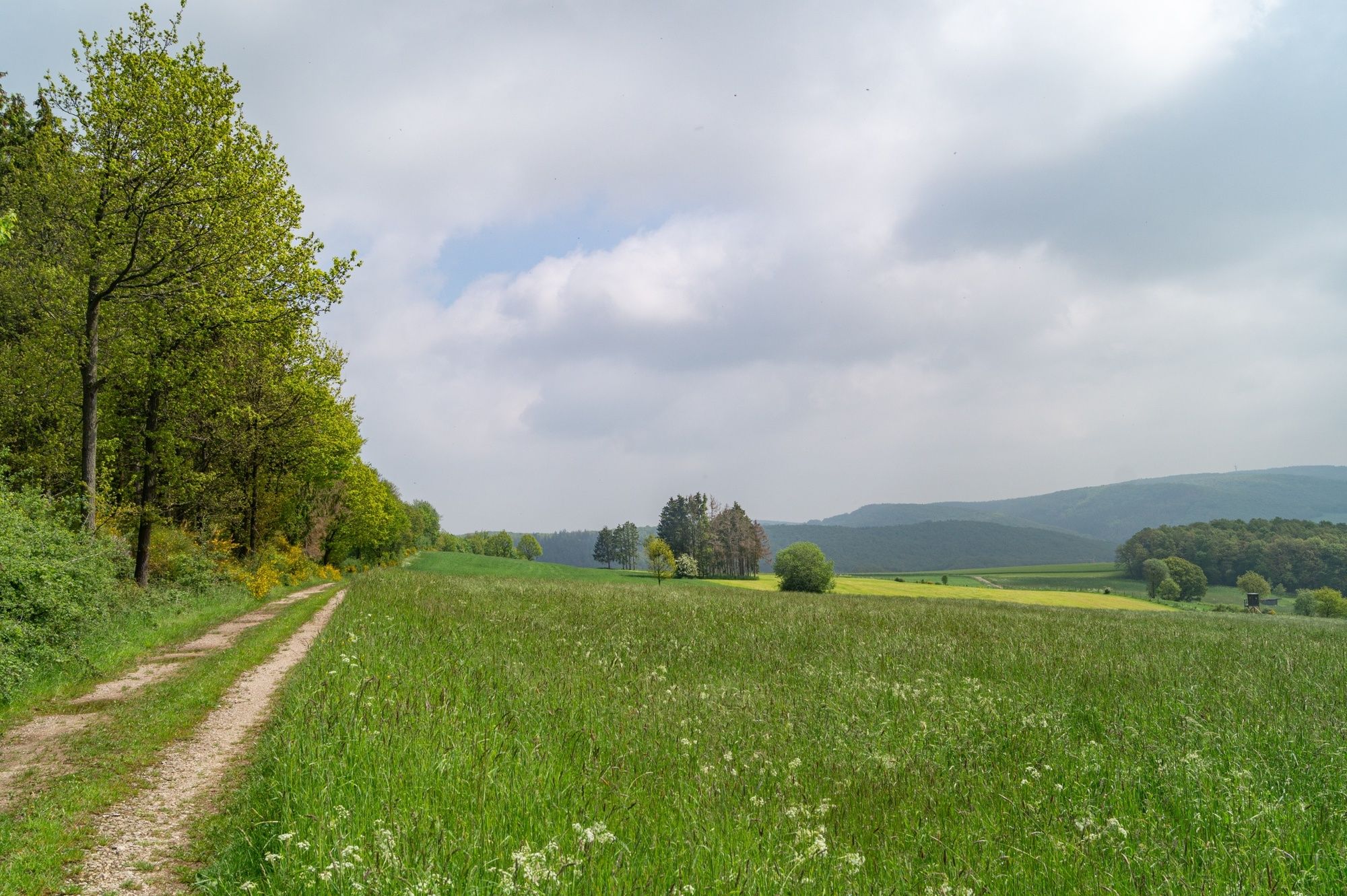
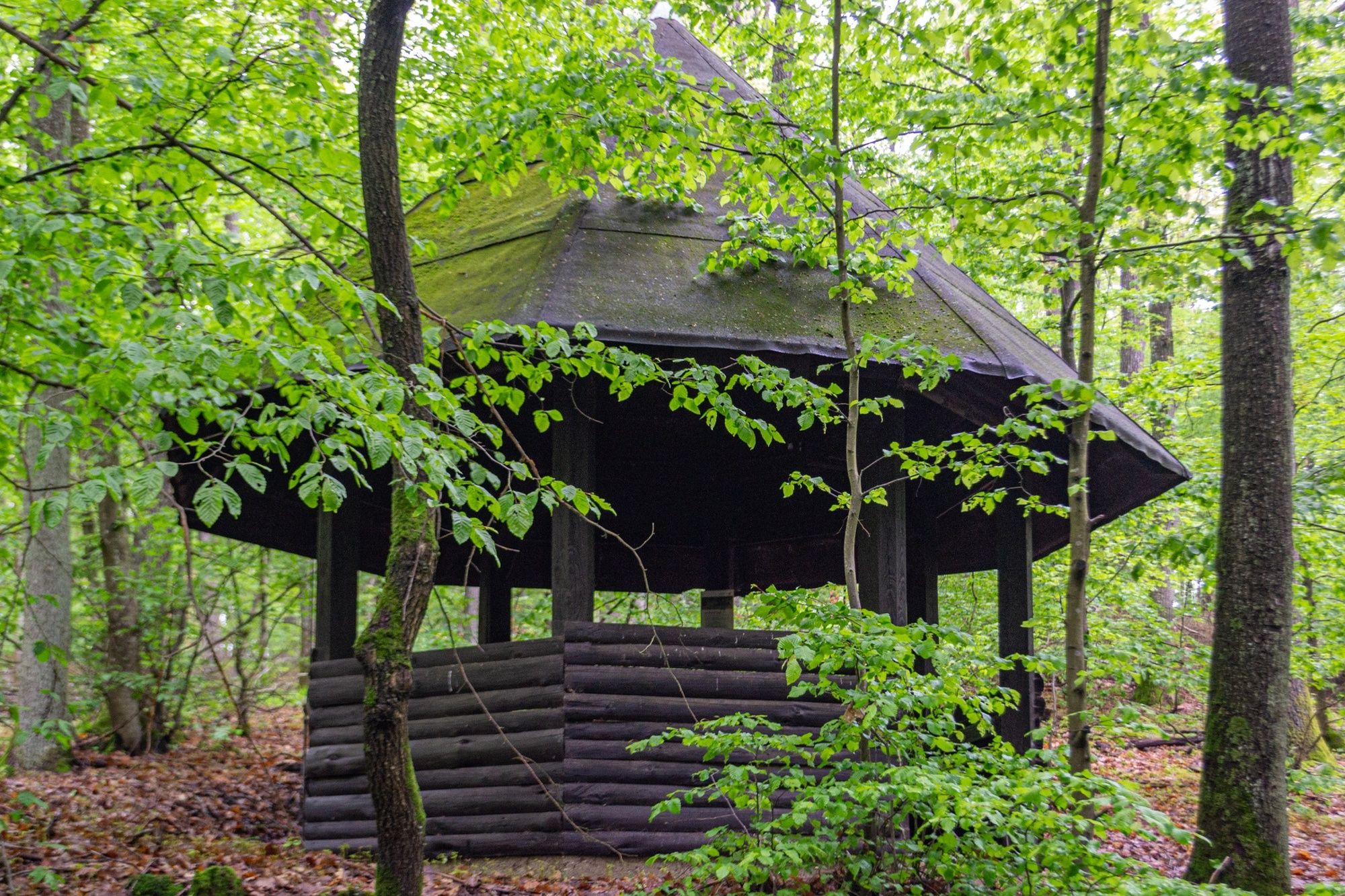
Ruhe und Stille können Sie bei dieser Wanderung durch die einzigartige Natur des Gotteswaldes und dem Pfaffenbusch genießen.
- Difficulty
-
easy
- Rating
-
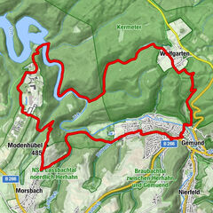
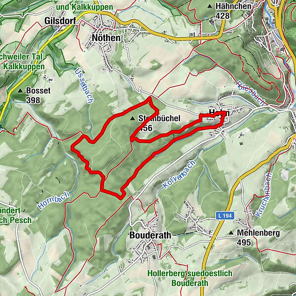
- Route
-
Hohn5.3 kmIm Dreescher Pesch5.7 km
- Best season
-
JanFebMarAprMayJunJulAugSepOctNovDec
- Highest point
- 446 m
- Endpoint
-
Parkplatz Pfaffenbusch, Hohner Weg / Karpfenstraße, 53902 Bad Münstereifel (50.538393, 6.734037)
- Height profile
-
 © outdooractive.com

- Author
-
The tour EifelSchleife Pfaffenbusch und Gotteswald (Stadt Bad Münstereifel) is used by outdooractive.com provided.
GPS Downloads


General info
Refreshment stop
Cultural/Historical
Flora
Fauna
A lot of view
Other tours in the regions
-
Eifel & Aachen
1426
-
Nordeifel
836
-
Bad Münstereifel
148