© Sauerland-Tourismus e.V. - Sauerland-Höhenflug Wanderweg

© Sauerland-Tourismus e.V. - Sauerland-Höhenflug Wanderweg

© Sauerland-Tourismus e.V. - Sauerland-Höhenflug Wanderweg

© Sauerland-Tourismus e.V. - Sauerland-Höhenflug Wanderweg

© Sauerland-Tourismus e.V. - Sauerland-Höhenflug Wanderweg

© Sauerland-Tourismus e.V. - Sauerland-Höhenflug Wanderweg

- Brief description
-
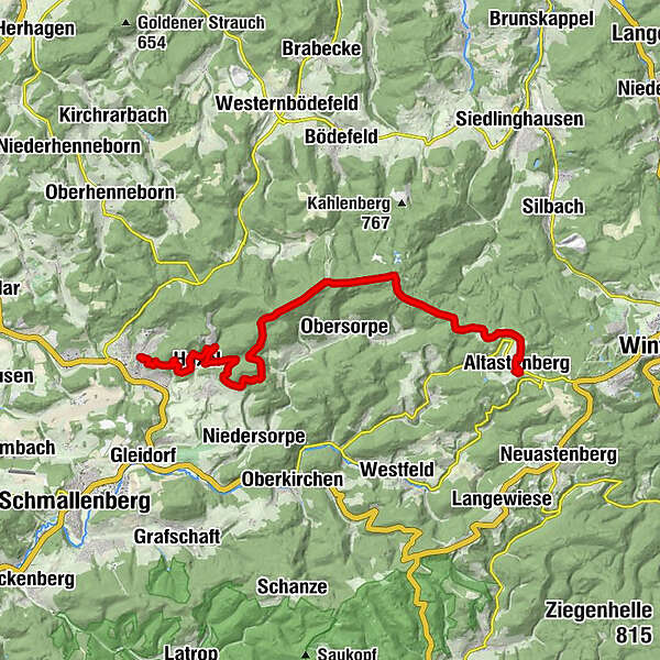
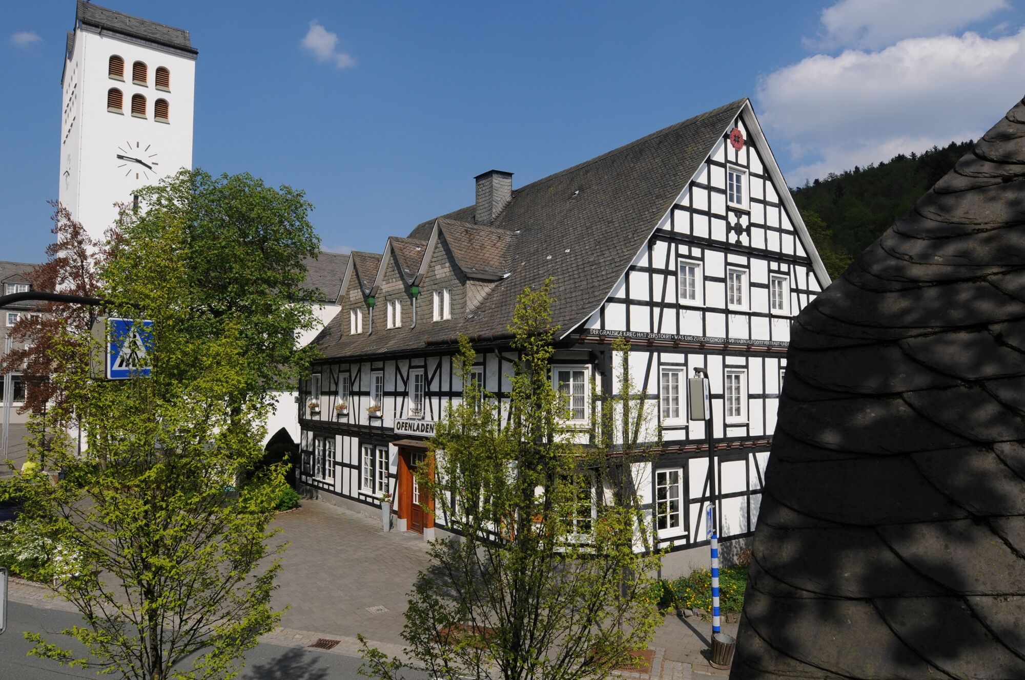
Bei dieser ÖPNV-Tour führt der Sauerland-Höhenflug von Bad Fredeburg nach Altastenberg und führt über den Hunau- und Rothaarkamm.
- Difficulty
-
medium
- Rating
-
- Route
-
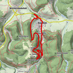
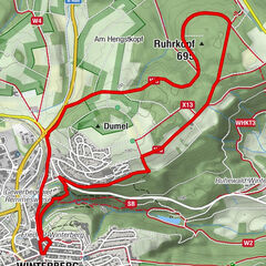
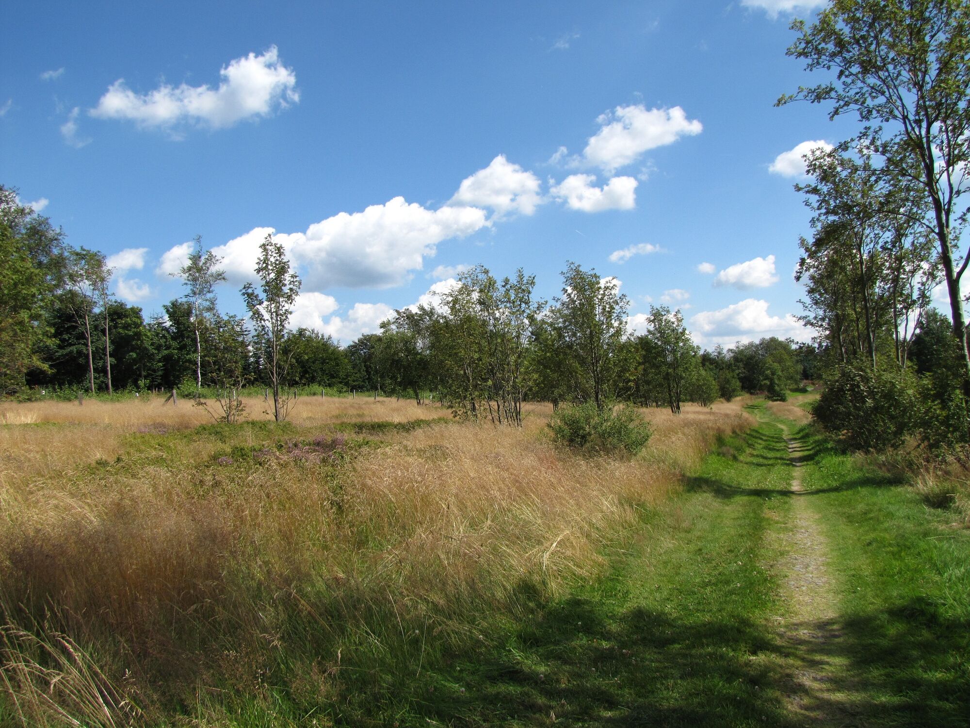
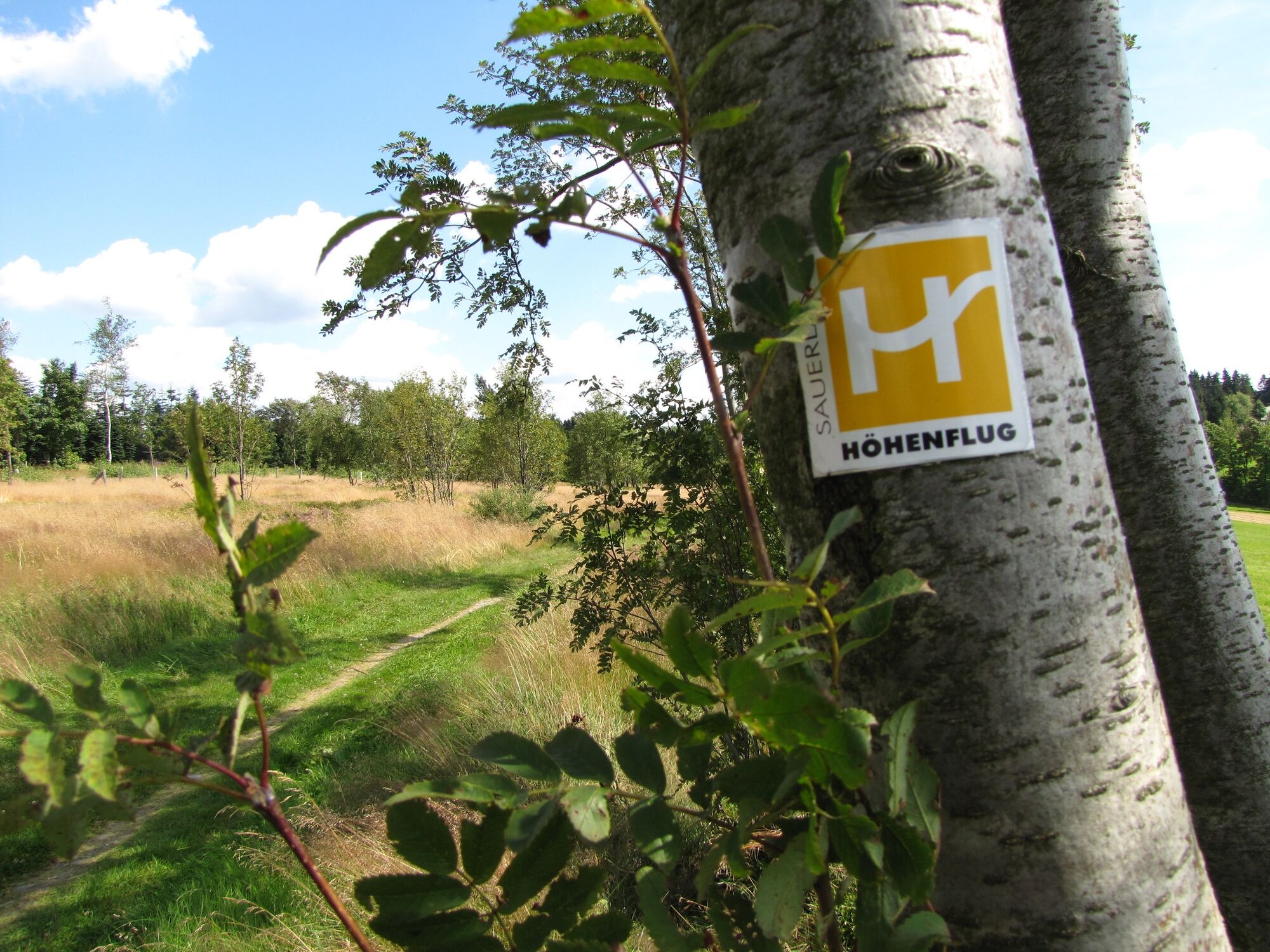
Pfarrkirche St. Georg0.0 kmBad Fredeburg0.7 kmHuxel4.8 kmQuelle8.8 kmSattelbogen (599 m)8.8 kmIrreplatz12.0 kmHunau (818 m)12.9 kmNegerquelle15.3 kmKlappersberg (731 m)15.7 kmÜngerplatz17.1 kmDorfhalle20.3 kmAltastenberg20.3 kmKleines Hotel Wemhoff20.4 km
- Best season
-
JanFebMarAprMayJunJulAugSepOctNovDec
- Highest point
- 813 m
- Endpoint
-
Altastenberg, Kirche
- Height profile
-
 © outdooractive.com

-

-
AuthorThe tour Sauerland-Höhenflug: Unterwegs auf Hunau- und Rothaarkamm is used by outdooractive.com provided.
GPS Downloads


General info
Refreshment stop
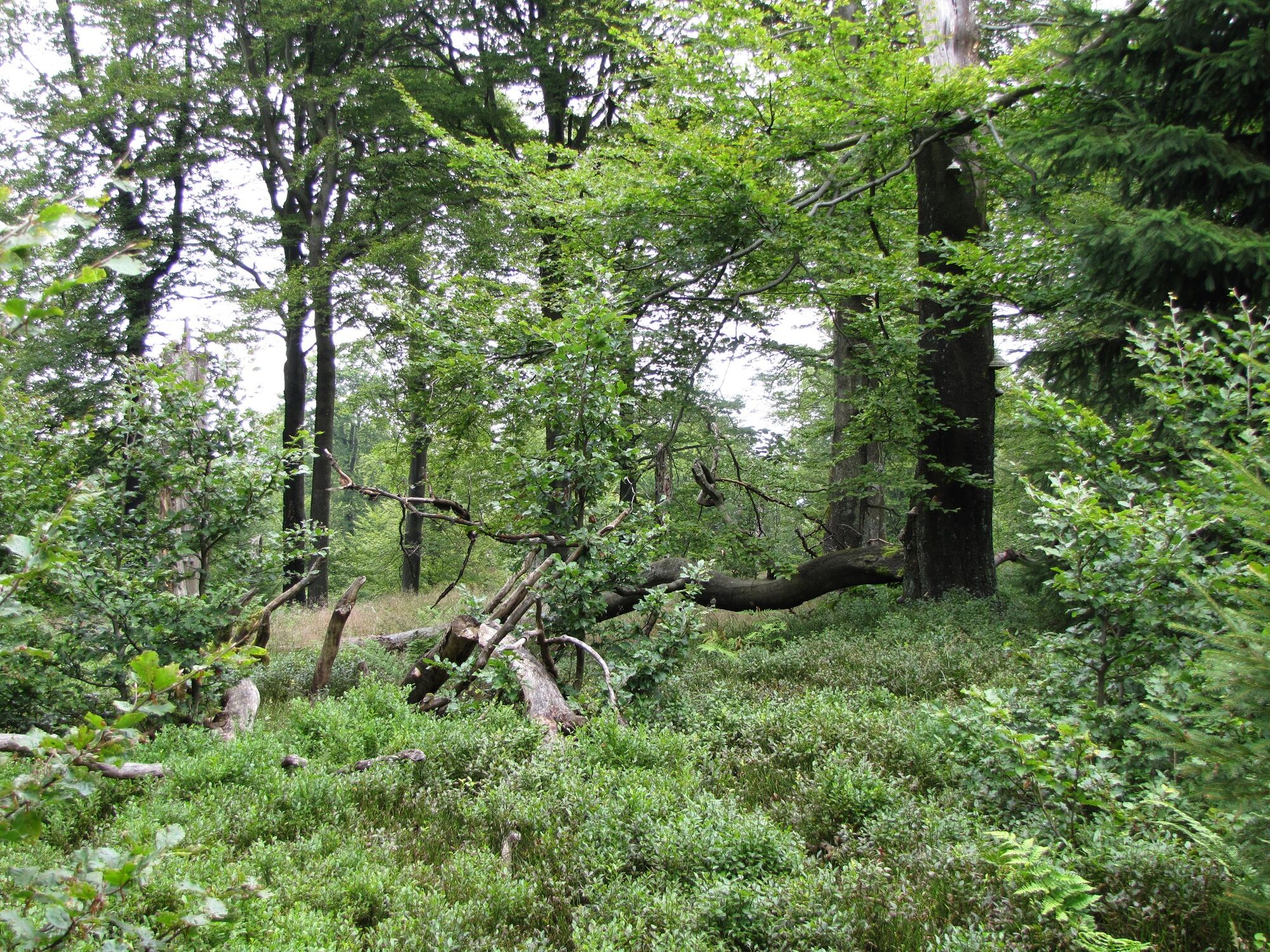
Flora
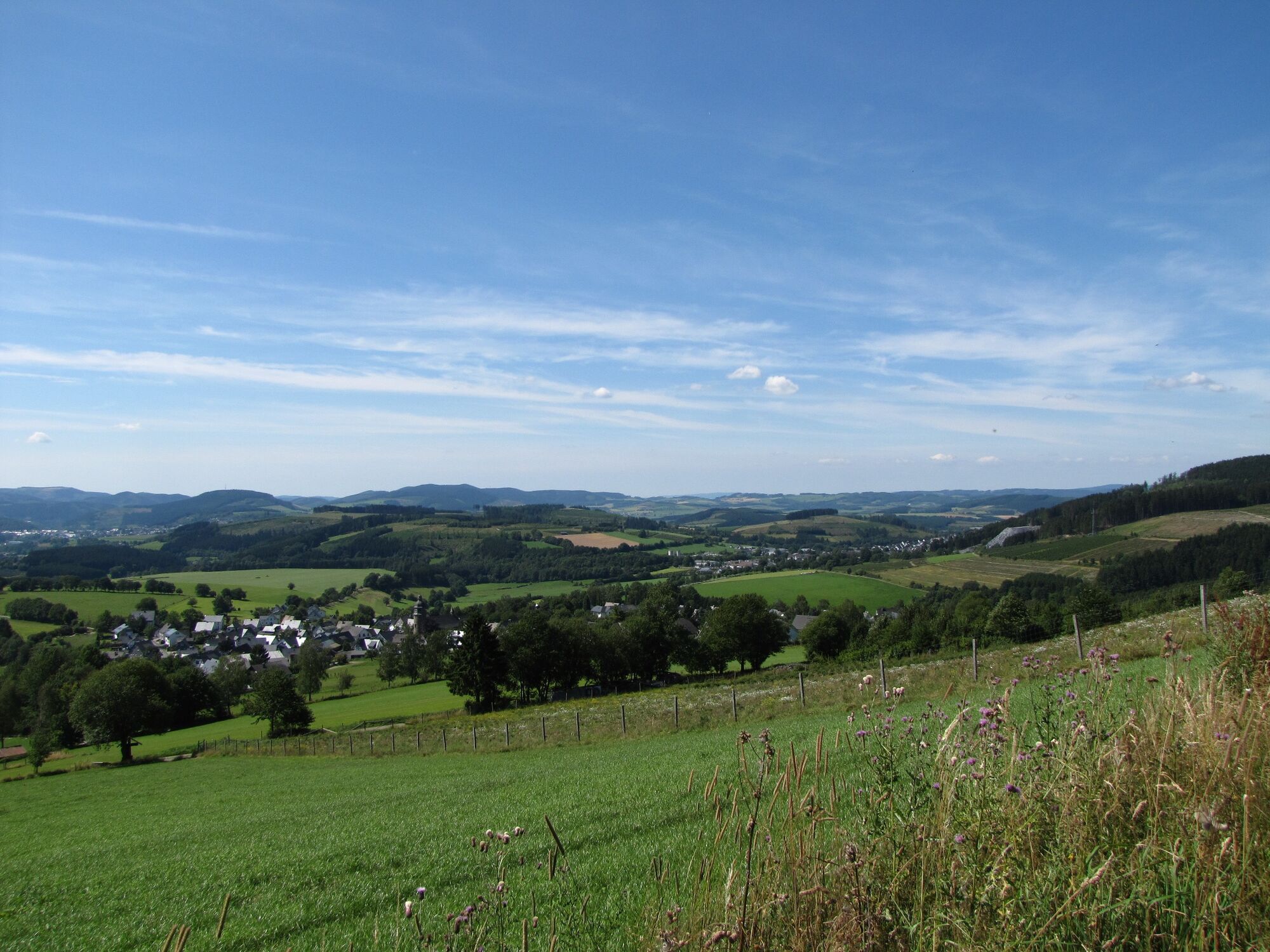
A lot of view
Other tours in the regions