


- Brief description
-
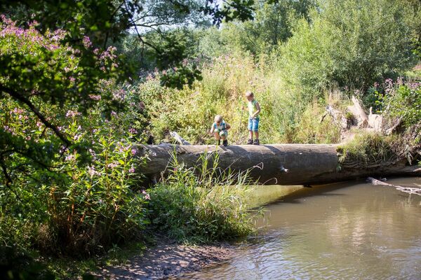
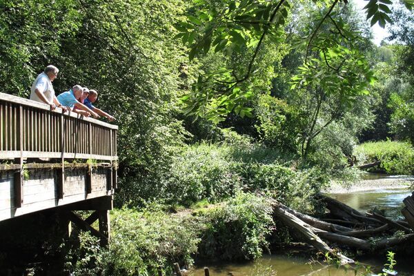
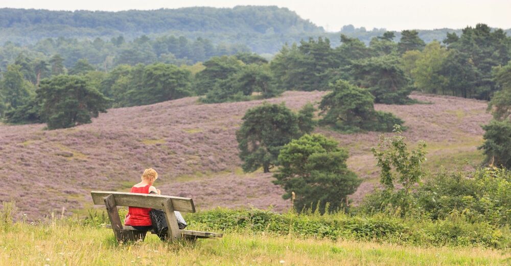
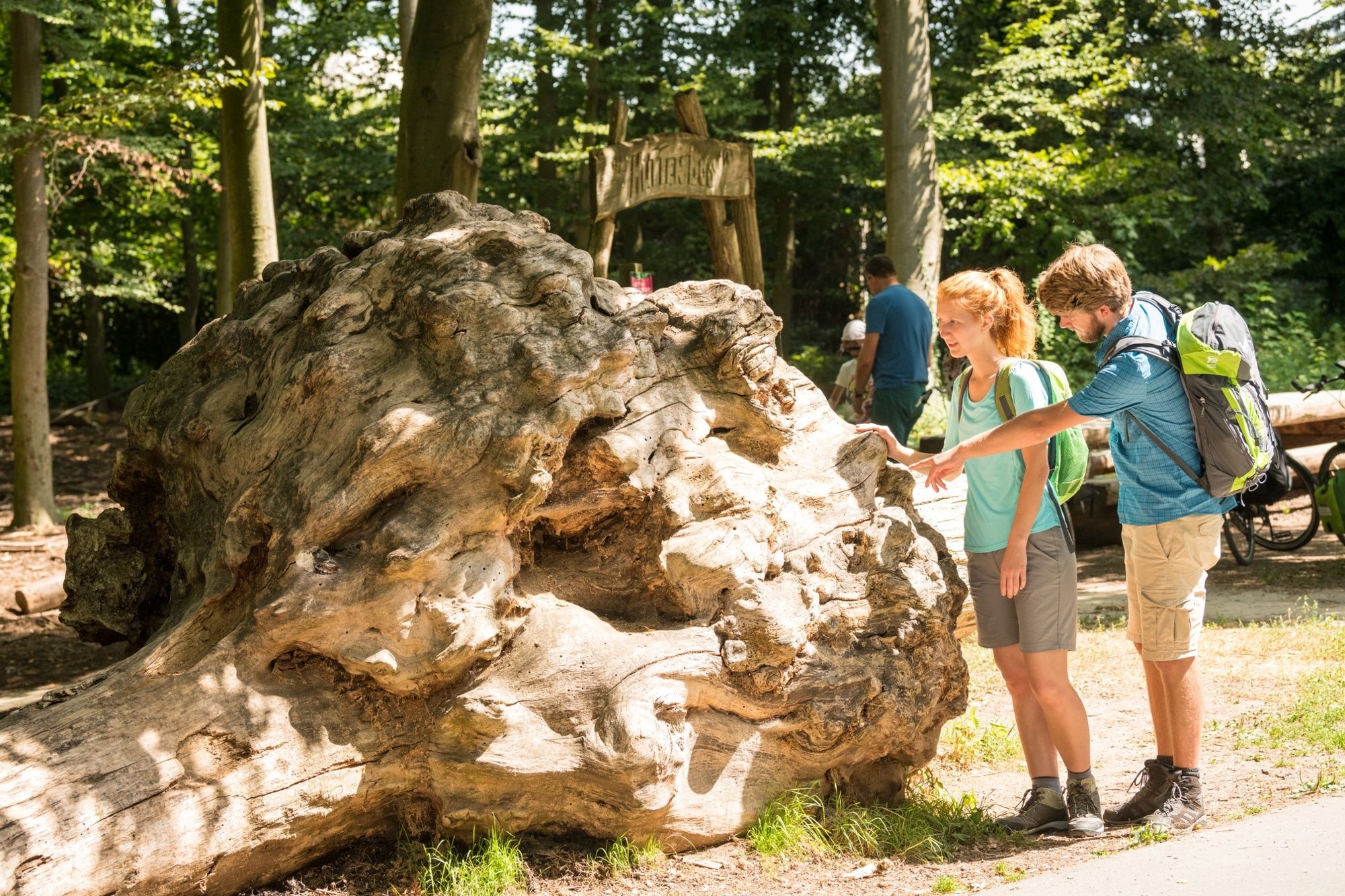
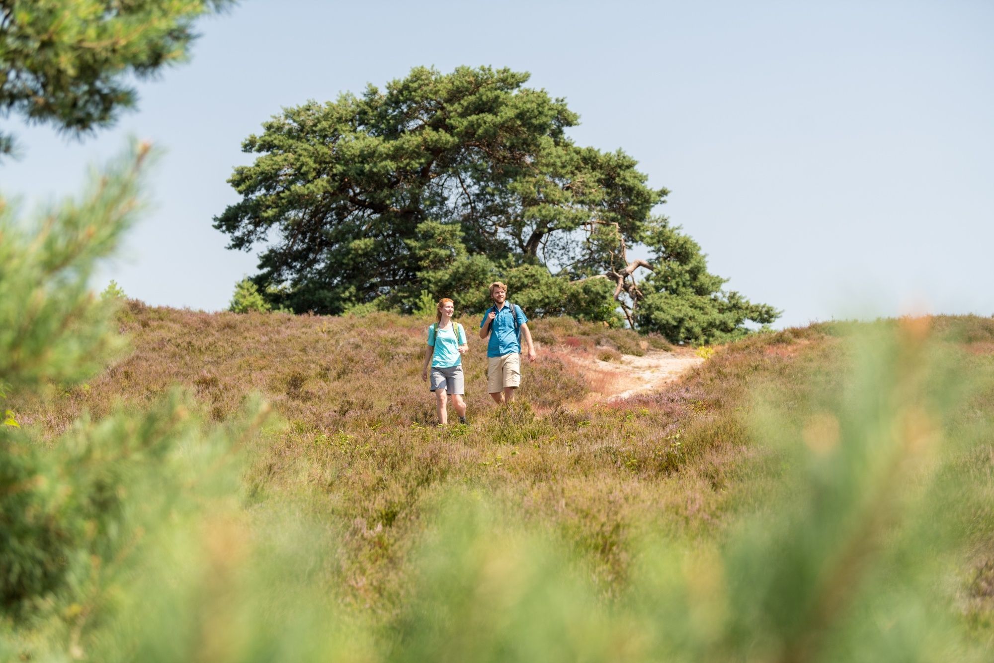
This walking route across Brunssum Heath is many walks rolled into one. So, whether you're in the mood for cool pine forests, fragrant purple heather, silvery sand flats or sparkling springs and pools, you'll find them all in this vast area between Landgraaf, Heerlen and Brunssum.
- Difficulty
-
easy
- Rating
-
- Starting point
-
Schaapskooiweg 99, Heerlen
- Route
-
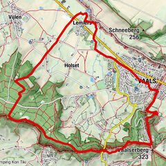
Brunssum2.3 kmRoode beek3.4 kmLandgraaf7.9 kmHeerlen9.5 kmHeihoven9.6 kmBrunssum12.6 km
- Best season
-
JanFebMarAprMayJunJulAugSepOctNovDec
- Description
-
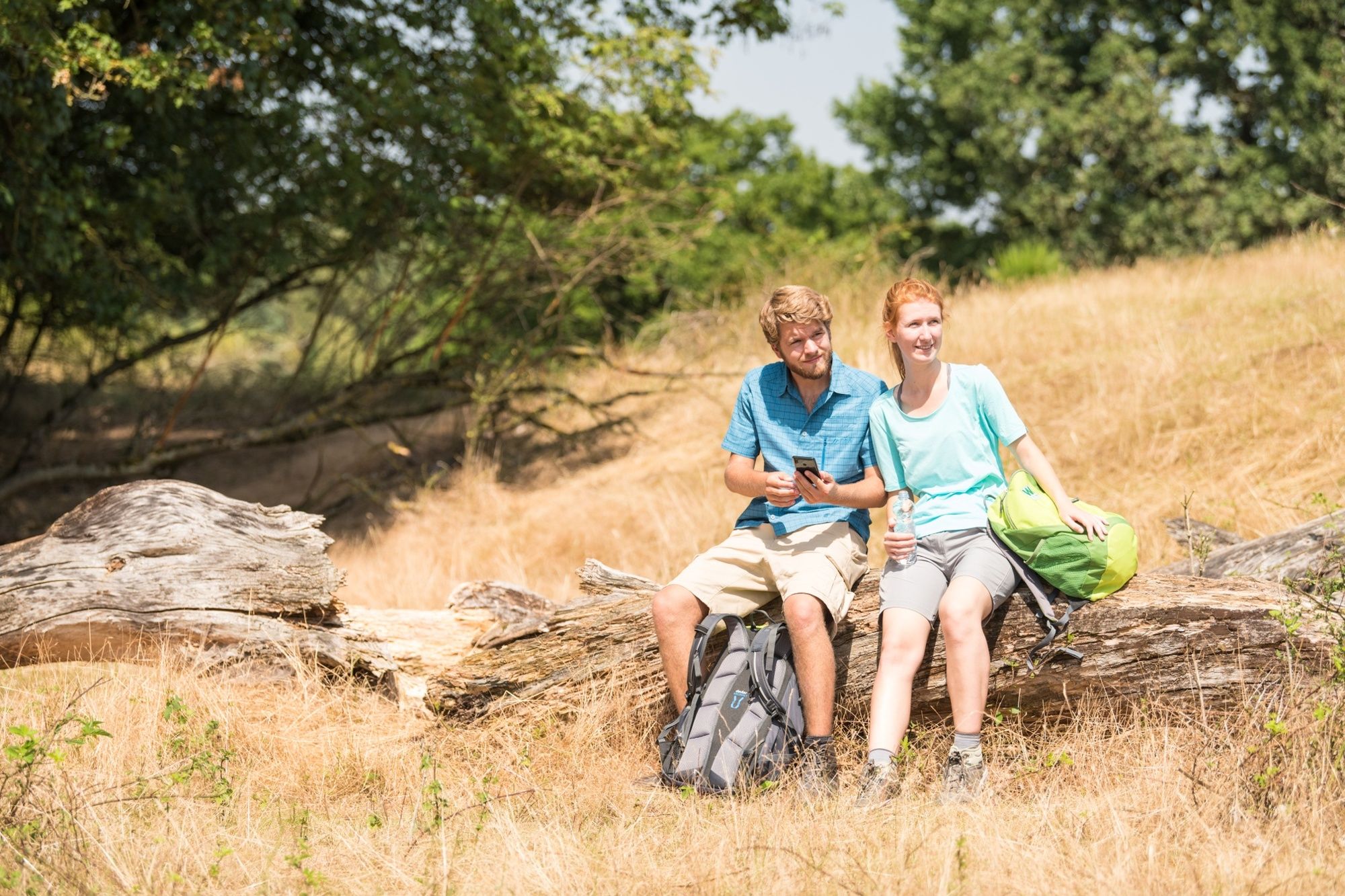
Welcome to glorious South Limburg and especially to the municipalities of Brunssum and Heerlen. This Nature Preservation Society route takes you across the beautiful Brunssum Heath area. Thanks to geological activities in the past, Brunssum heath has become a multi-faceted nature reserve where forests, heaths, streams, marshes, farmland and sand flats mark out the landscape. At the heart of the heathland are the natural springs which are the source of the Rode Beek, where bog formation occurs. There are a few bogs, both on the moors and in the forests. This route can be tackled by following dark green aluminium bands affixed to black plastic posts. Parking is available at the Brunssum Heath Visitor Centre (Schaapskooiweg 99, Heerlen), where you can also enjoy a delicious cup of coffee. From the car park, walk past the Visitor Centre and you&039;ll see the references to this route in dark green at the first path to the left on signpost number DG1. If you have any comments about the route, please report them to. A complete walking map showing many dozens of other walking routes in this region can be easily ordered from www.webshop.visitzuidlimburg.nl.
- Directions
-
This route can be tackled by following dark green aluminium bands affixed to black plastic posts.
- Highest point
- 158 m
- Endpoint
-
Schaapskooiweg 99, Heerlen
- Height profile
-
 © outdooractive.com
 - Equipment
-
For this hike, we recommend waterproof hiking shoes and weather-appropriate clothing. Be sure to bring enough water and take a little food with you, and you’ll be all set!
- Safety instructions
-
Please stay on the designated paths.
- Tips
-
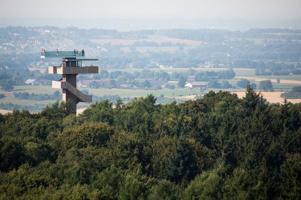
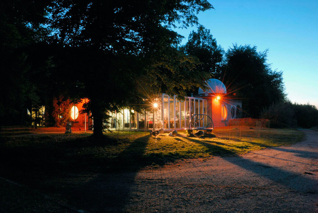
Don't forget to visit the Observatory on Brunssum Heath.
- Additional information
-
Visit Zuid-Limburg
Walramplein 6, Postbus 820, 6300 AV Valkenburg aan de geul
T: 0031-(0)43-609 8500
E: info@visitzuidlimburg.nl
I: www.visitzuidlimburg.nl
- Arrival
-
To plan your trip by car, use our journey planner. Free parking is available near the starting point.
- Public transportation
- Parking
-
Free parking is available near the starting point.


- Author
-
The tour Brunssum Heath Route NM3 is used by outdooractive.com provided.


General info
-
Heinsberger Land
89
-
Heerlen
48