© Nationalparkverwaltung Eifel - H. Pieper

© Nationalparkverwaltung Eifel - Martin Weisgerber

© Nationalparkverwaltung Eifel - A. Pardey

© Nationalparkverwaltung Eifel - M.Weisgerber

© Nationalparkverwaltung Eifel

© Nationalparkverwaltung Eifel - M. Höller

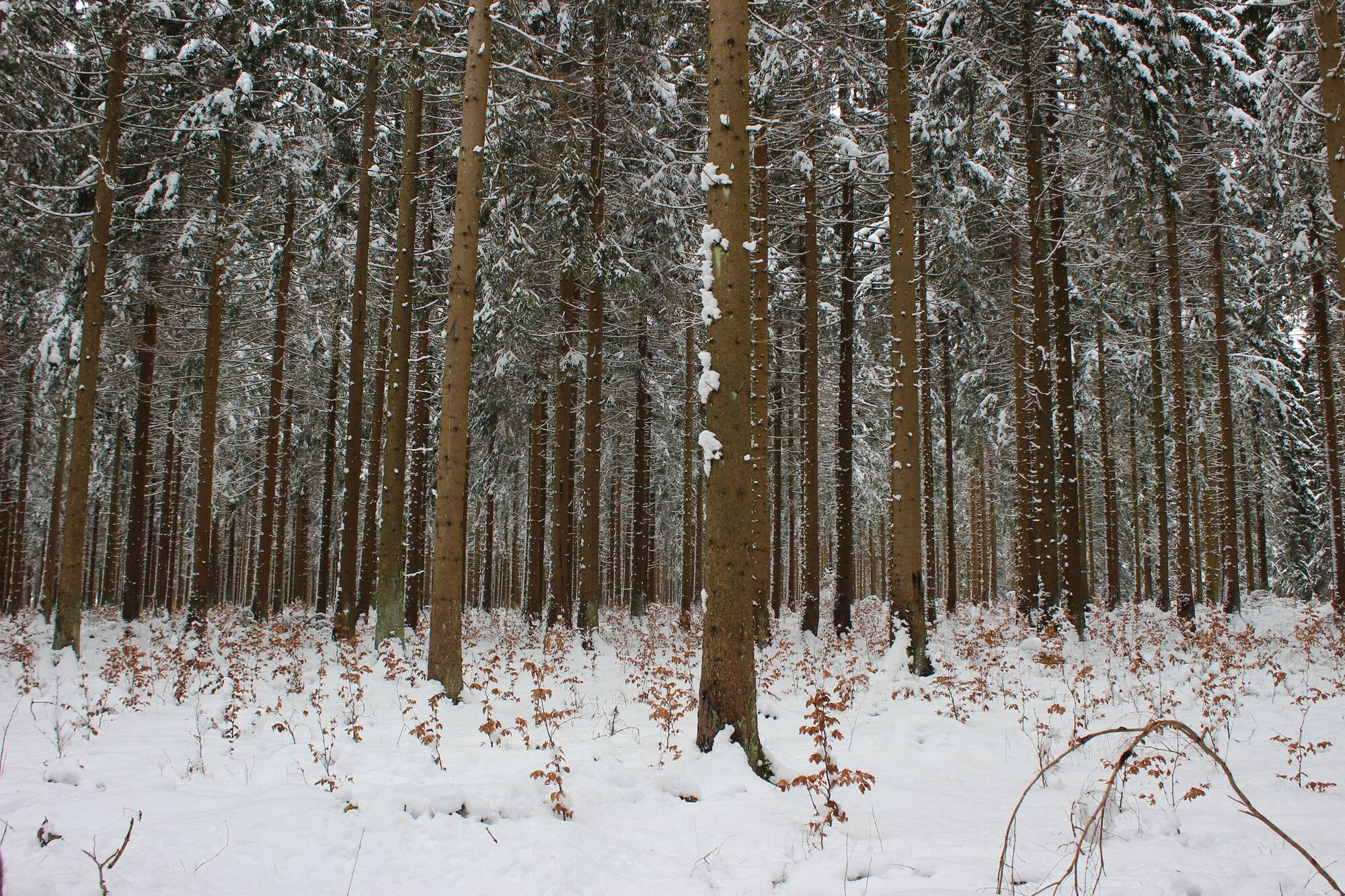
© Nationalparkverwaltung Eifel - J.Vogel

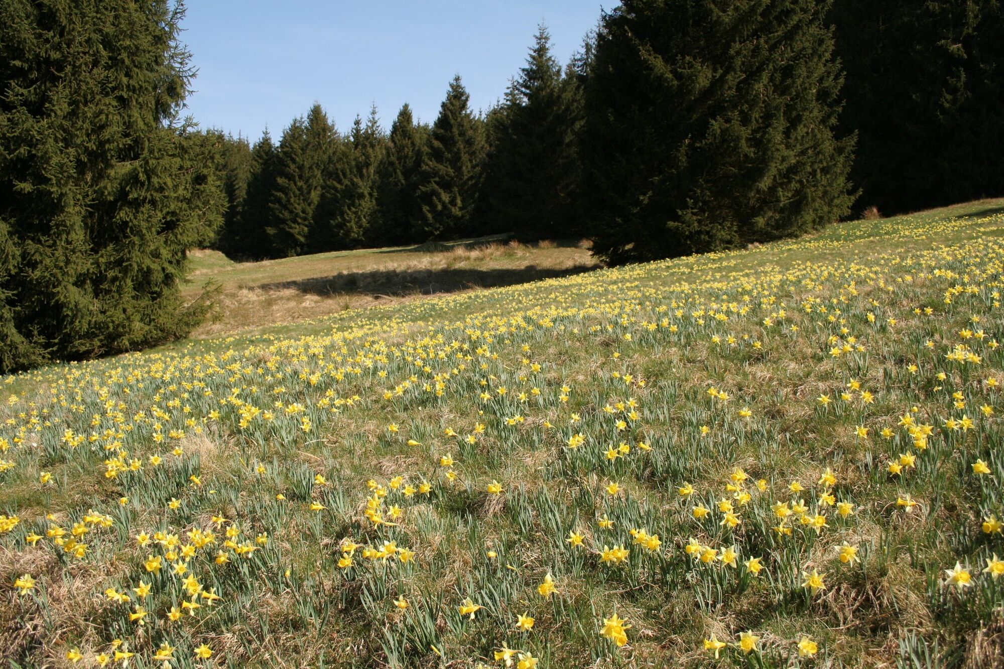
© Nationalparkverwaltung Eifel - J.Vogel

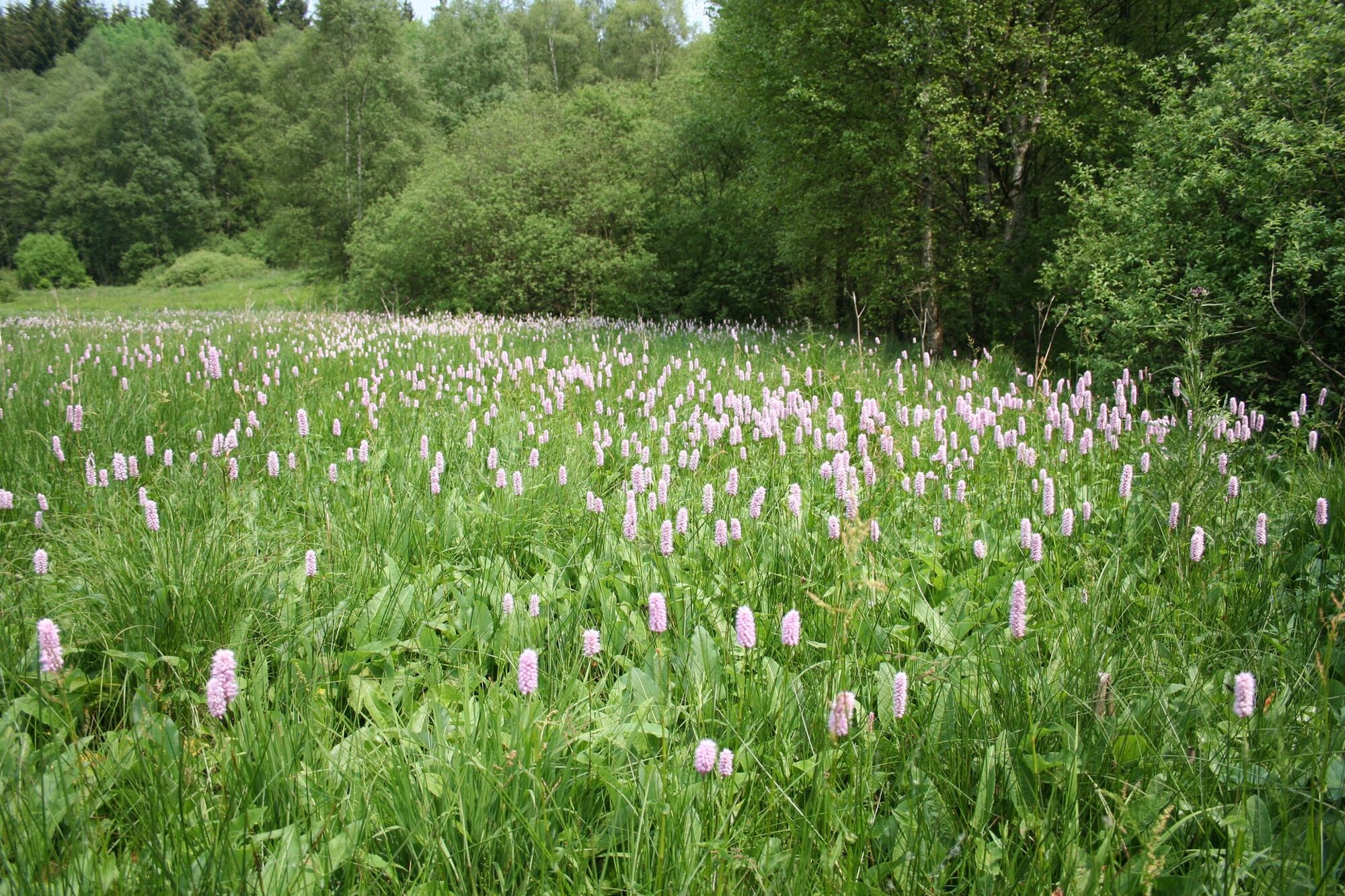
© Nationalparkverwaltung Eifel - J.Vogel

© Nationalparkverwaltung Eifel - J.Vogel
- Brief description
-
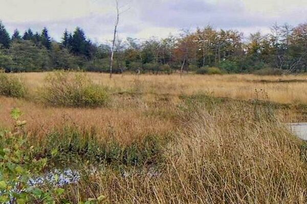
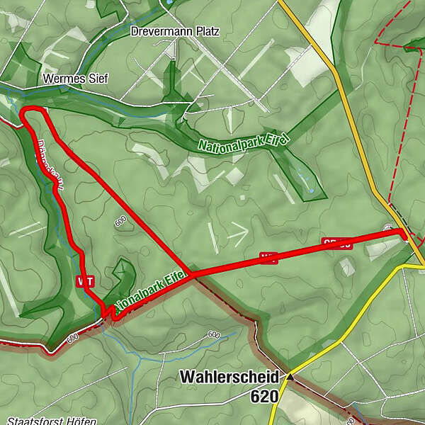
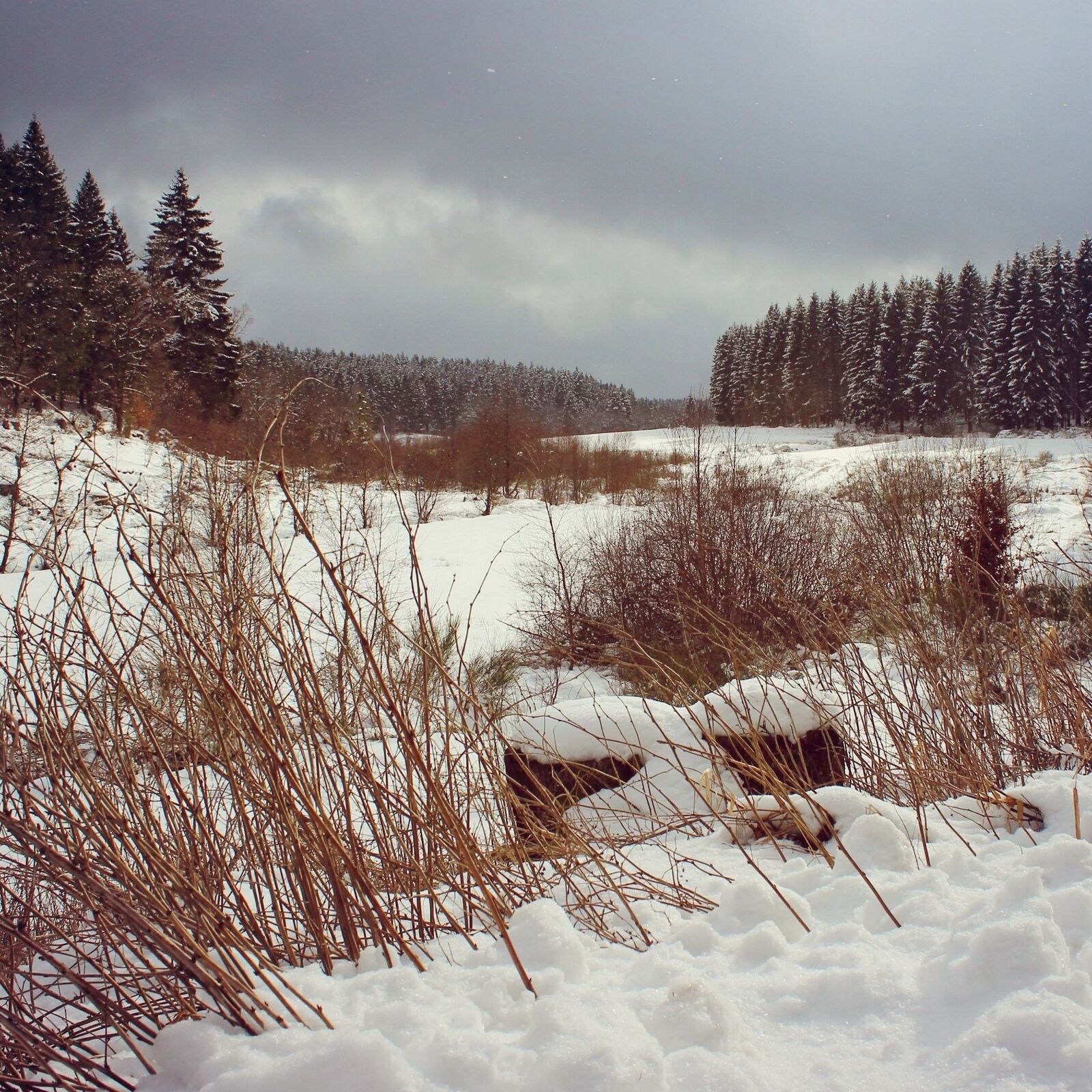
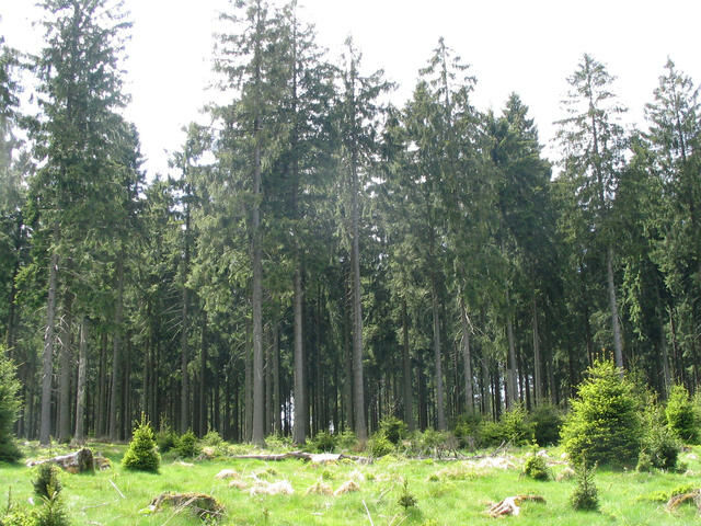
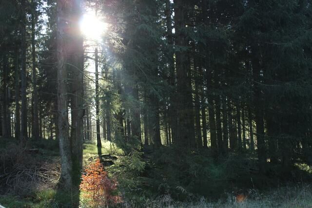
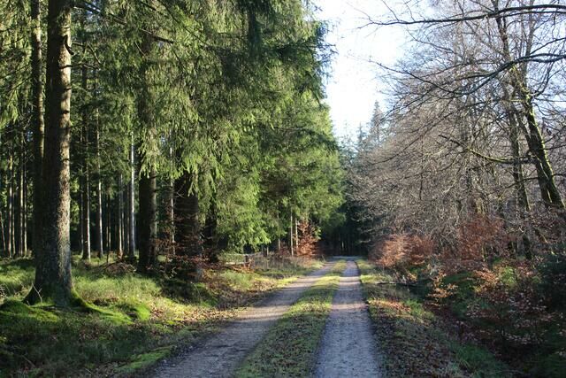
Bei dieser kontrastreichen Rundtour erwanderst Du den Südzipfel des Nationalparks Eifel.
- Difficulty
-
easy
- Rating
-
- Best season
-
JanFebMarAprMayJunJulAugSepOctNovDec
- Highest point
- 623 m
- Endpoint
-
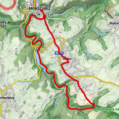
Monschau-Höfen / Wanderparkplatz Wahlerscheid
- Height profile
-
 © outdooractive.com


- Author
-
The tour Moorbirken, Bäche und Waldentwicklung - Nationalpark Eifel is used by outdooractive.com provided.
GPS Downloads


General info
Insider tip
Flora
Fauna
Other tours in the regions
-
Eifel/ Rheinland-Pfalz
1057
-
Nordeifel
836
-
Monschau
299