Tour data
16.3km
531
- 661m
119hm
120hm
04:04h
- Brief description
-
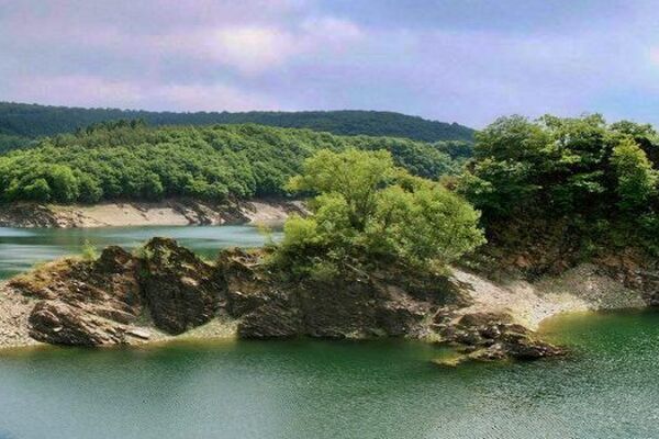
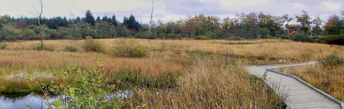
Durchqueren Sie mehrere Venngebiete
- Difficulty
-
medium
- Rating
-
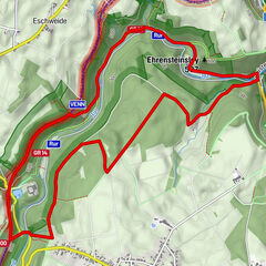
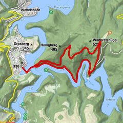
- Route
-
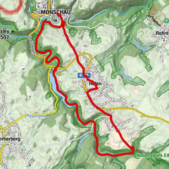
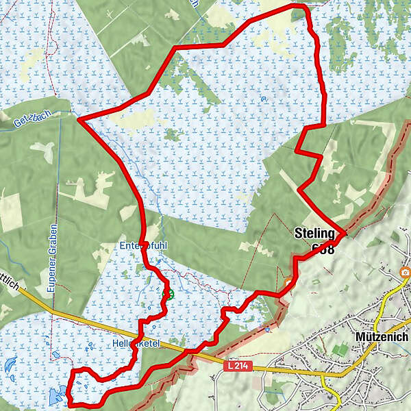
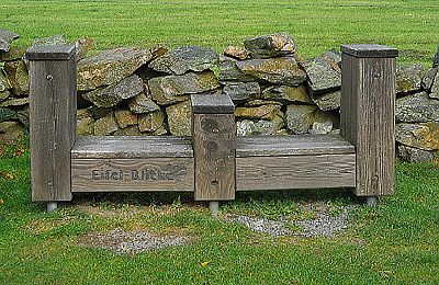
Steling (658 m)5.8 kmVerbrannte Brücke12.8 kmBlick ins Venn15.5 km
- Best season
-
JanFebMarAprMayJunJulAugSepOctNovDec
- Highest point
- 661 m
- Ticket material
-
Wanderkarte 1:25000 "Hohes Venn

- Source
- Wandergebiet Rureifel, Nationalpark Eifel, Hohes Venn / Wanderungen Rureifel, Nationalpark Eifel, Hohes Venn
GPS Downloads


Trail conditions
Asphalt
Gravel
Meadow
Forest
Rock
Exposed
Other tours in the regions
-
Eifel & Aachen
1426
-
Hohes Venn
602
-
Monschau
299